I’ve been meaning to climb the new Marilyn, Sithean Mor, for a few years now, in fact it is actually seven years since it was promoted to Marilyn status, so this was a rather delayed ascent.
I left my vehicle in the Flowerdale Car Park on the north side of the Abhainn Ghlas immediately east of the A832 in Charlestown, Gairloch, where there was space for numerous vehicles, although it was empty on my arrival this Sunday morning.
The route east along the path on the north side of the Abhainn Ghlas was well signposted for the ‘Waterfall Walks’ and avoided the road to Flowerdale House and Mains.
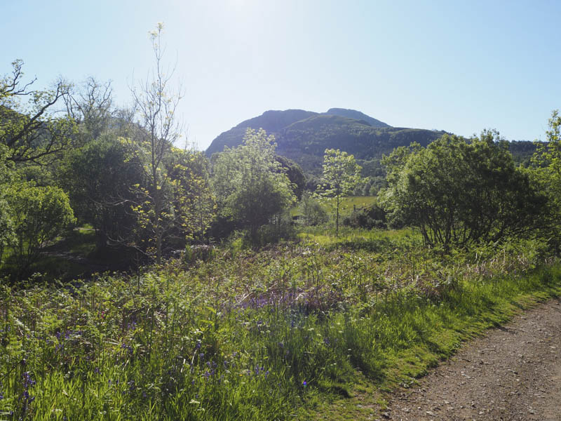
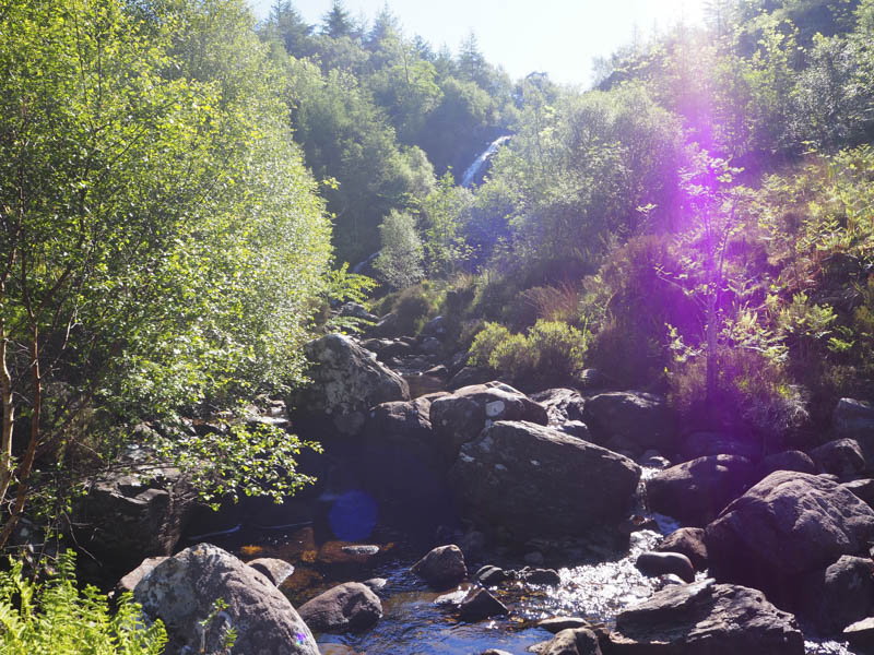
Beyond Flowerdale Mains there was a length of vehicle track to follow then a path to and up the side of the waterfalls where the condition of the path deteriorated.
It was then across some wet and boggy ground to a padlocked gate with a crossing point nearby. This locked gate and fence was a bit pointless as on my return I discovered a section of the fence had been removed. I continued east along the path towards Gleann a’Ghrobain but soon left the path and crossed rough vegetation, which was pretty awful to walk through, to reach the Allt a’ Ghlinne which was easily crossed. I then commenced the ascent of Sithean Mor, climbing south-west back towards the deer fence.
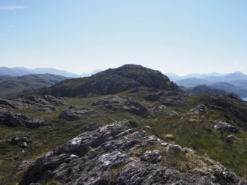
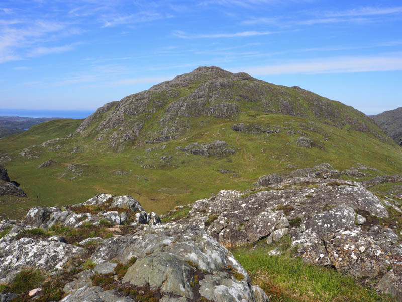
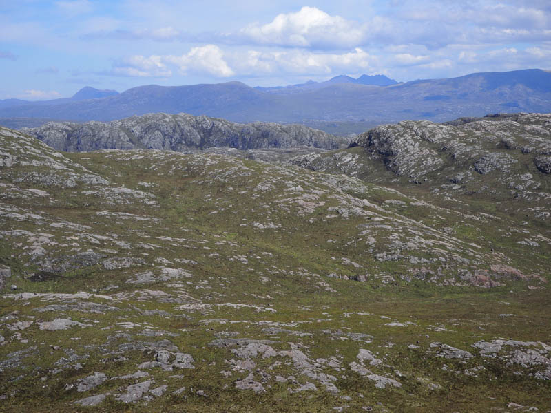
The vegetation here made for easier walking and on reaching the top of the fence I headed south-east up a grassy rake. Thereafter there were a few undulations on the rocky west ridge before I reached the summit of Sithean Mor which was marked by a cairn.
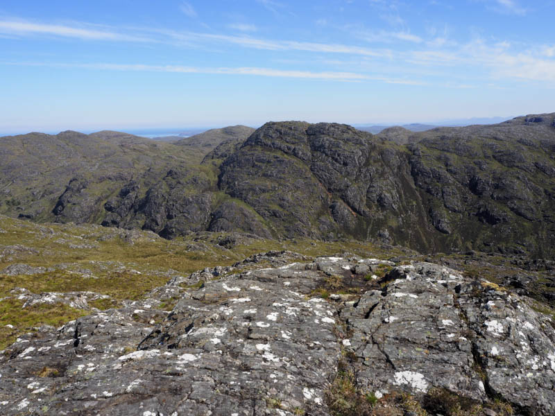
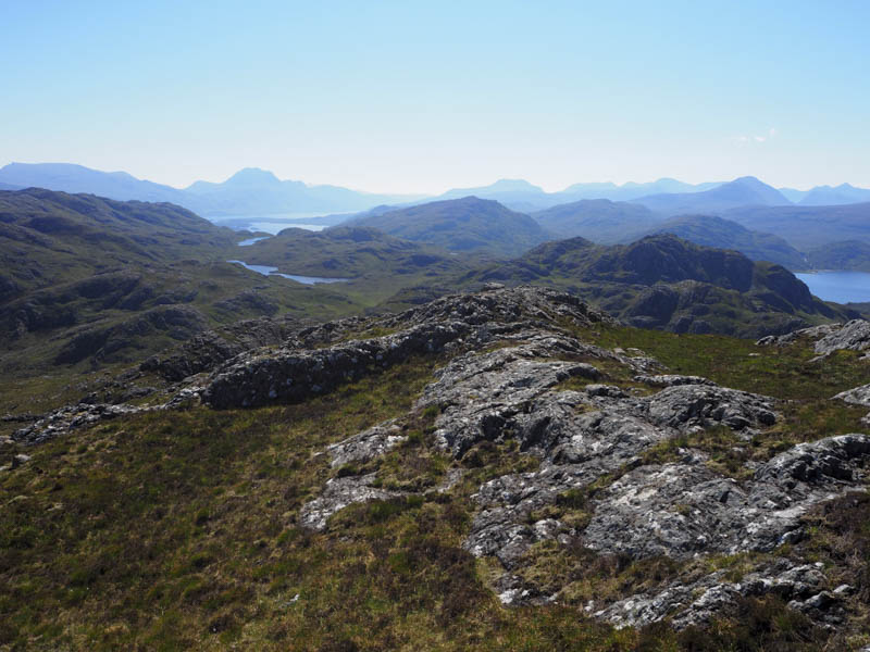
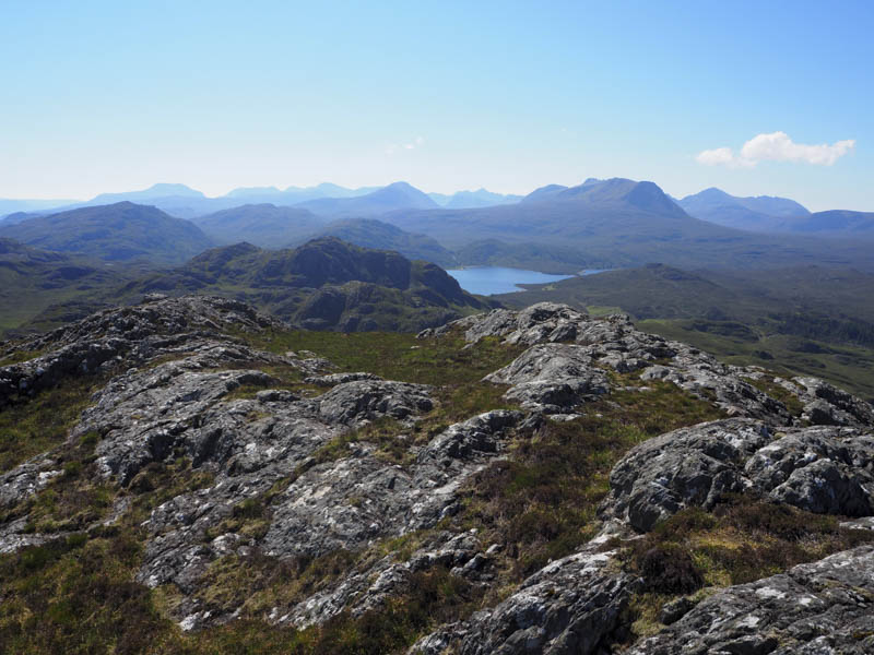
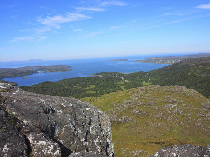
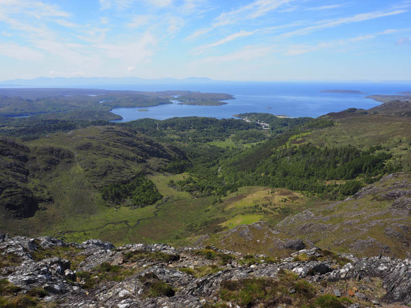
I had an extended break here taking in the views, although it was a bit hazy in the distance, before descending fairly easily south-east, avoiding more rock, to reach the col with Meall Lochan a’ Charbaid. It was then through rock and vegetation to reach the summit of this Tump, marked by an outcrop.
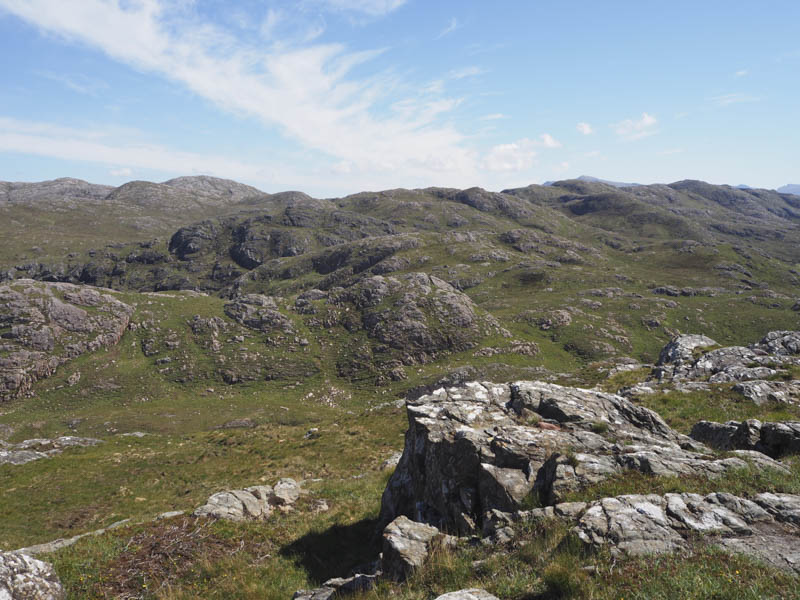
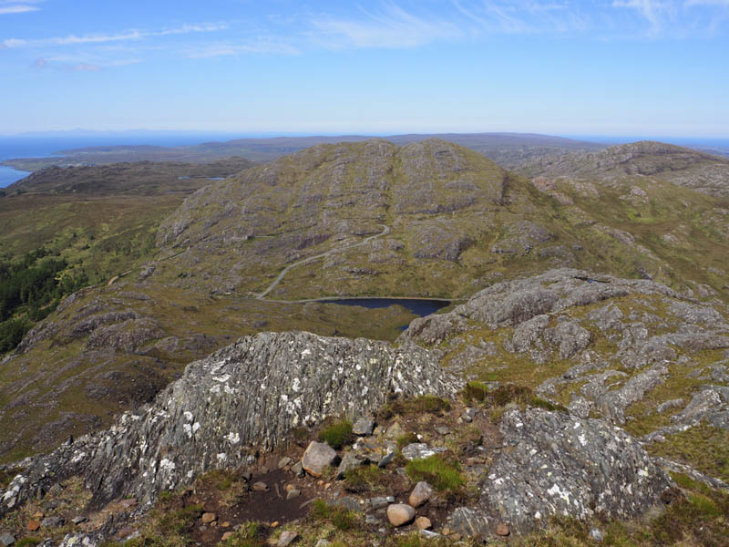
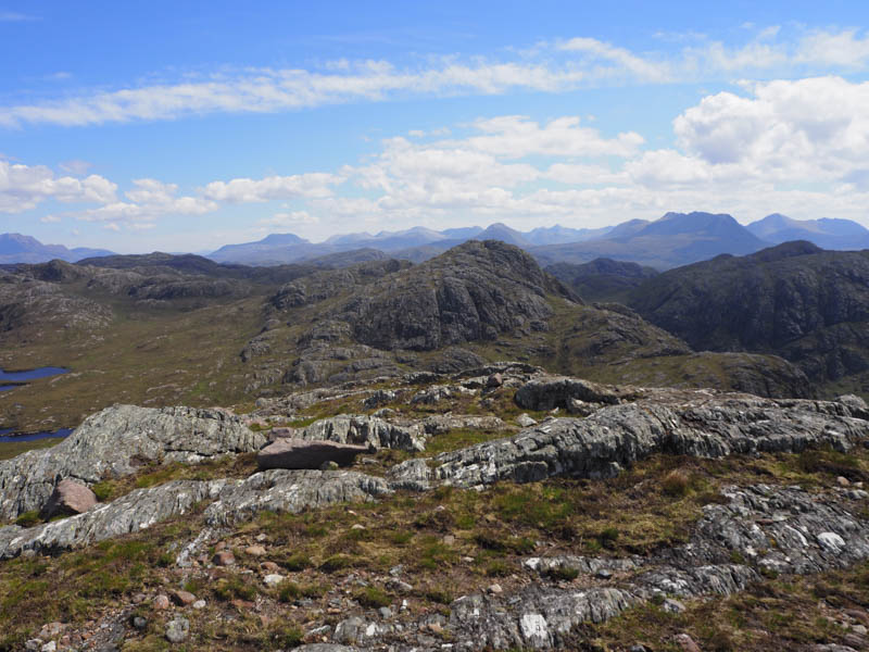
The descent north-east took me to Lochan a’ Charbaid. I walked round its south side before ascending the Tump, Meallan Odhar na Gaibhre, where I visited a couple of highpoints as I couldn’t say which was the highest.
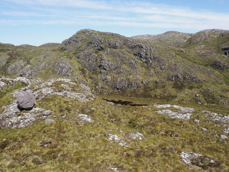
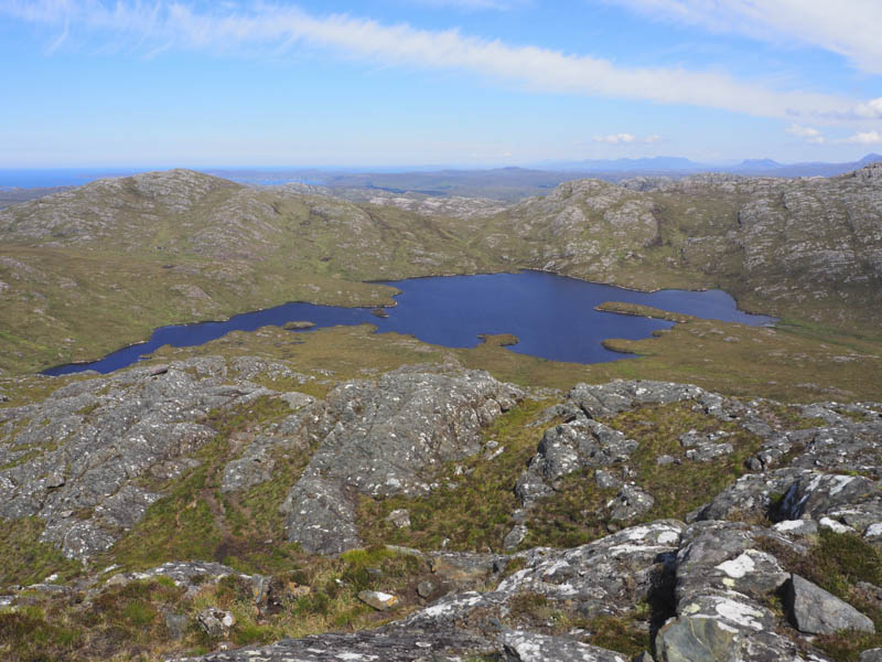
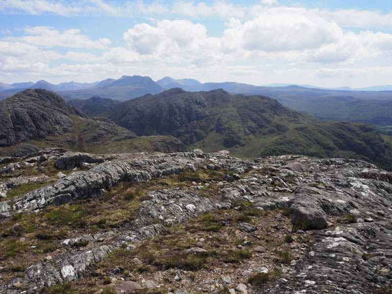
It was then over an intervening top before heading to and climbing Meallan Aluinn. The highest point of this Tump was a rock.
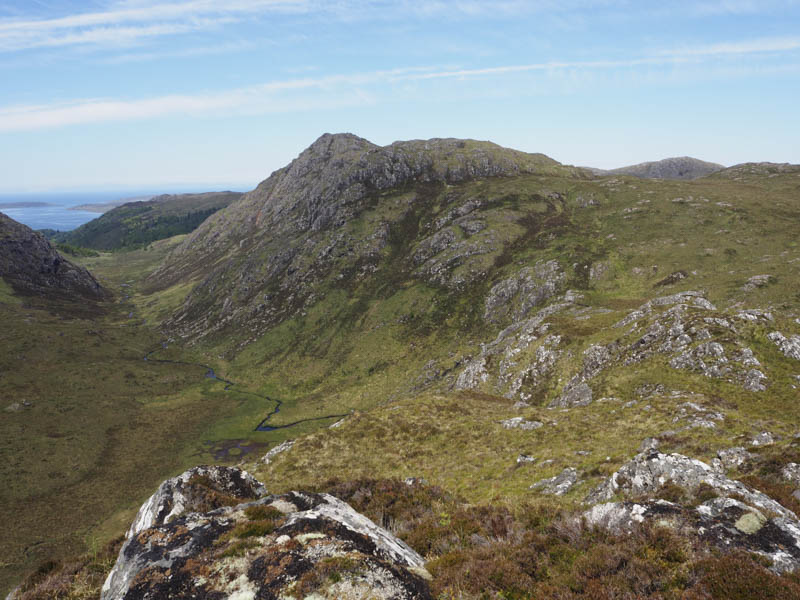
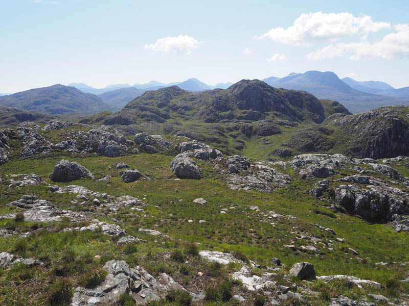
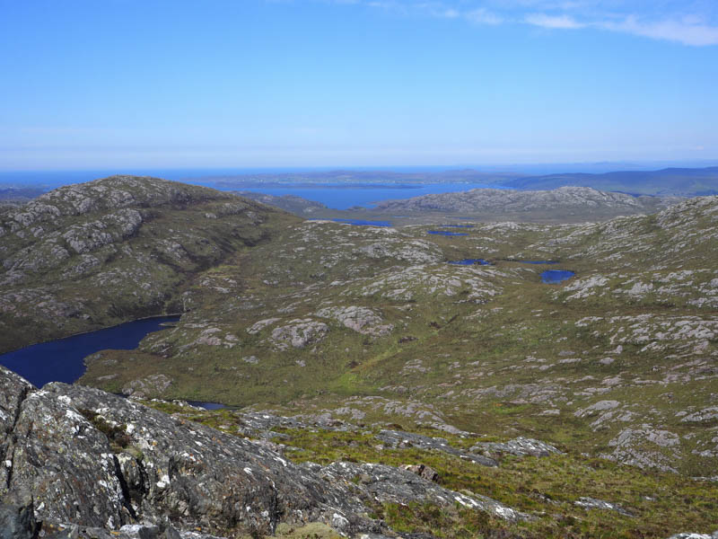
Afterwards I descended its north-west ridge, crossed the outflow from Loch na Feithe Mugaig and climbed the rocky, An Groban, a Tump. Initially I visited two outcrops on either side of a small lochan before heading for the trig point as all three may have been equally as high.
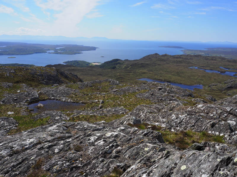
I had lunch here before descending north-west on a well worn path through the crags. The path later changed direction and descended south-west. I continued north-west to the Easan Bana where there were a couple of small hydro dams with a larger dam to the north-east at the outflow from Loch Airigh a’ Phuill.
I crossed the Easan Bana onto a rough vehicle track which headed north-west below the Hump, Meall Fuaraidh. At the highpoint on this track, NG833755 I left it and climbed a grassy gully onto the rocky summit visiting the cairns on both tops. I couldn’t say which one was highest.
The return was back down the gully to the vehicle track which descended steeply in places to a deer fence where the gate and some of the fencing had been removed allowing the deer free access to the forest and beyond. I continued down this track to the point I had left it earlier that day, west of the waterfalls, then returned to the car park by the signed route.
- Time taken – 6.25 hours.
- Distance – 13.5 kilometres.
- Height climbed – 845 metres.