Earlier in the day I climbed the Corbett, Corserine so afterwards I drove to the A75 south-east of Newton Stewart. At the B&B Muirfad I left the main road and located a nearby lane which was used as a parking area for those climbing the Graham, Cairnsmore of Fleet.
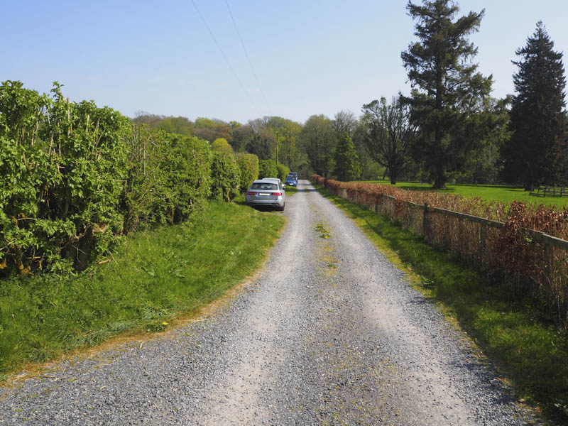
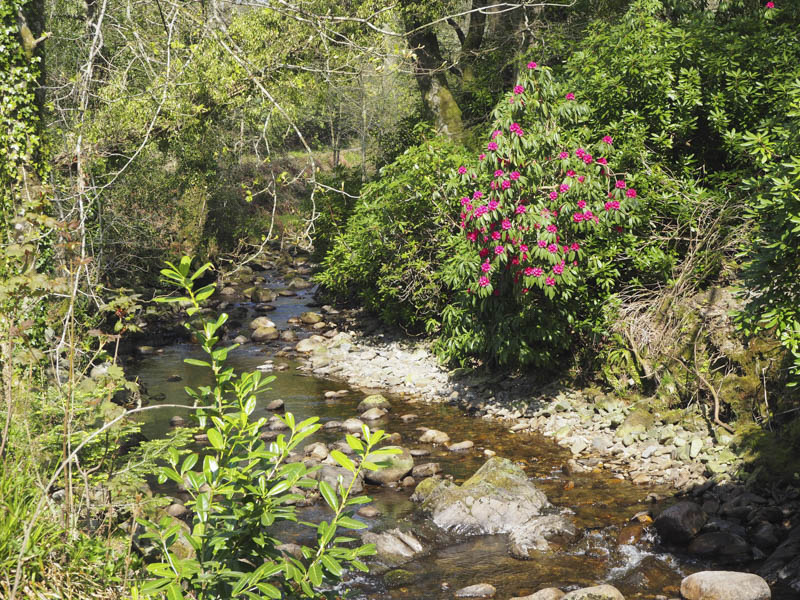
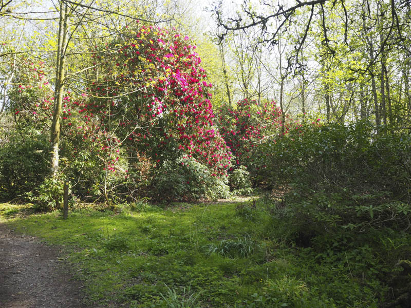
From this lane the route to the Graham was signposted along the vehicle track to Cairnsmore Lodge then to avoid this property through a small woodland where the rhododendrons were in flower.
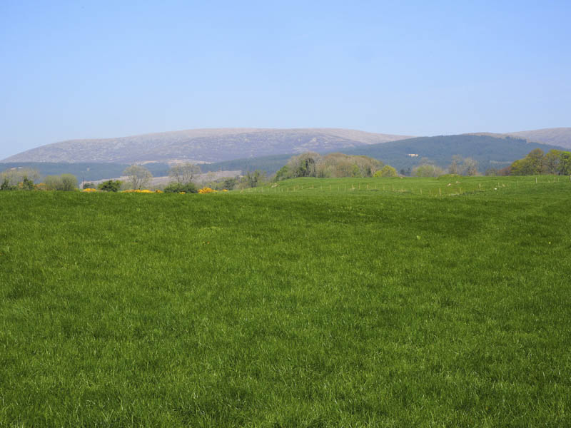
The route then led to a lane which passed Cairnsmore Farm and to a gate giving access to a grassy field.
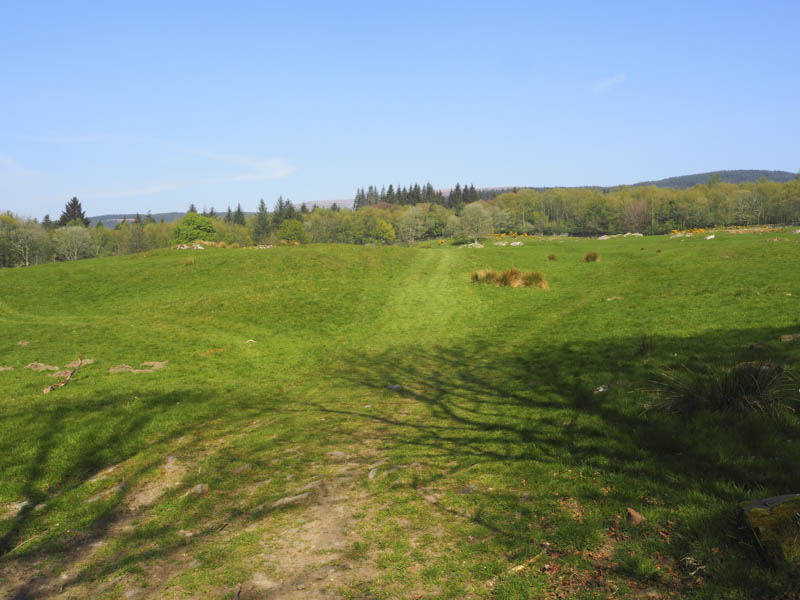
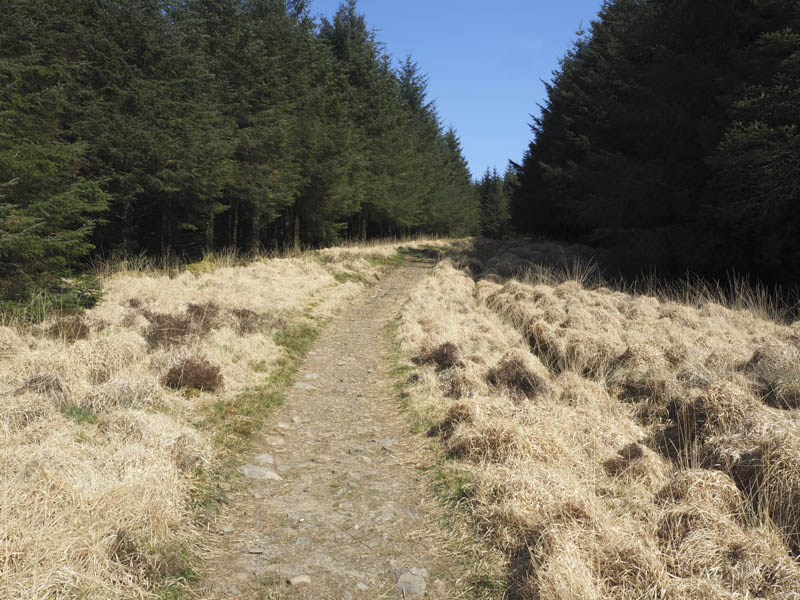
Once across the field a second gate took me into the forest on Badrochwood Moor where the trees on the north side of this section of path had been harvested. A vehicle track was later crossed then the path continued up a fire break in the fir trees.
Higher up I emerged from the forest and passed through a gate onto the open hillside.
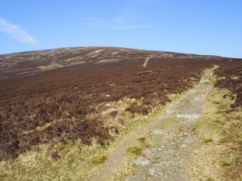
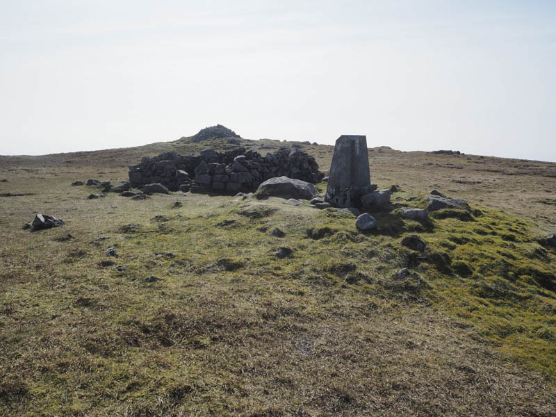
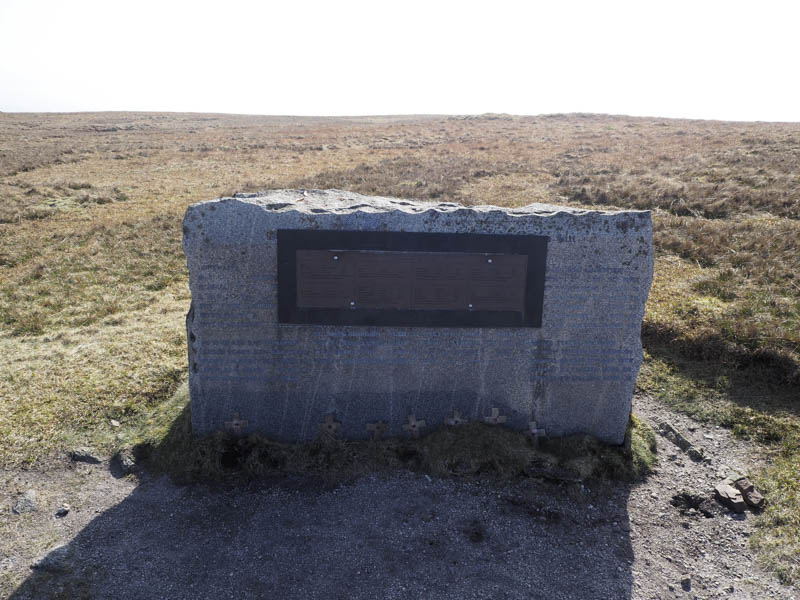
The path which had a section of zigzags continued to the summit of Cairnsmore of Fleet marked by a trig point and cairn. Nearby there was a memorial to fallen airmen.
Unfortunately the views from the summit were hazy so I didn’t remain there long before returning to the start by the upward route.
- Time taken – 3.25 hours.
- Distance – 12.75 kilometres.
- Height climbed – 700 metres.