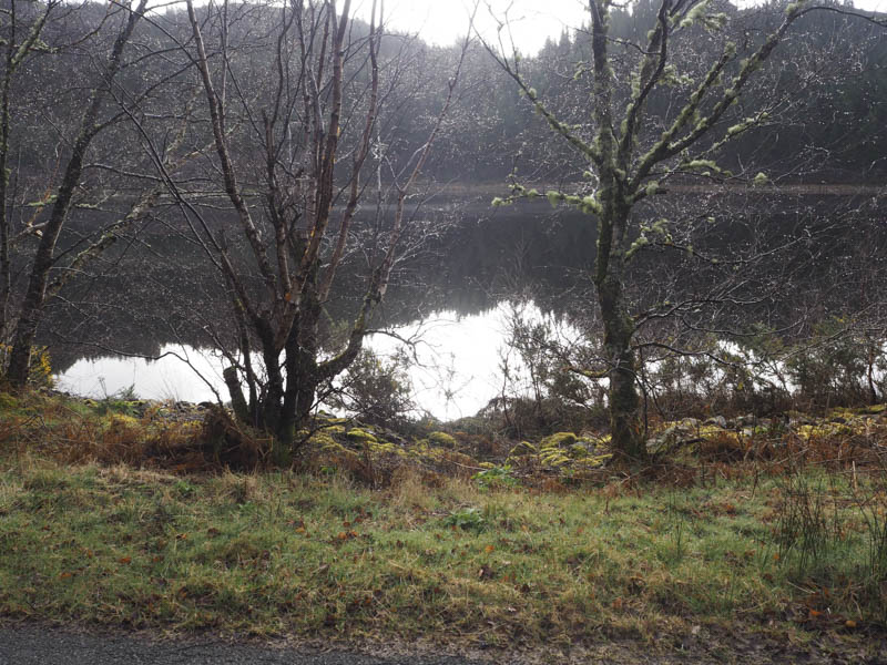
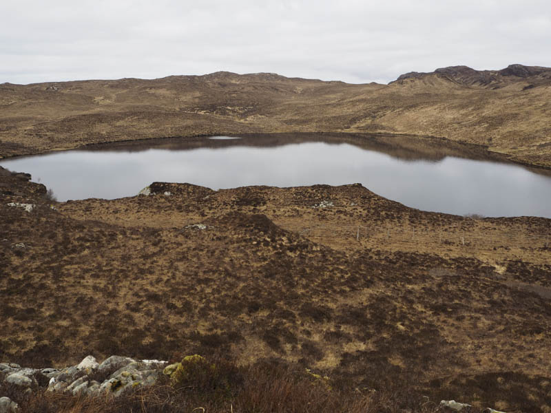
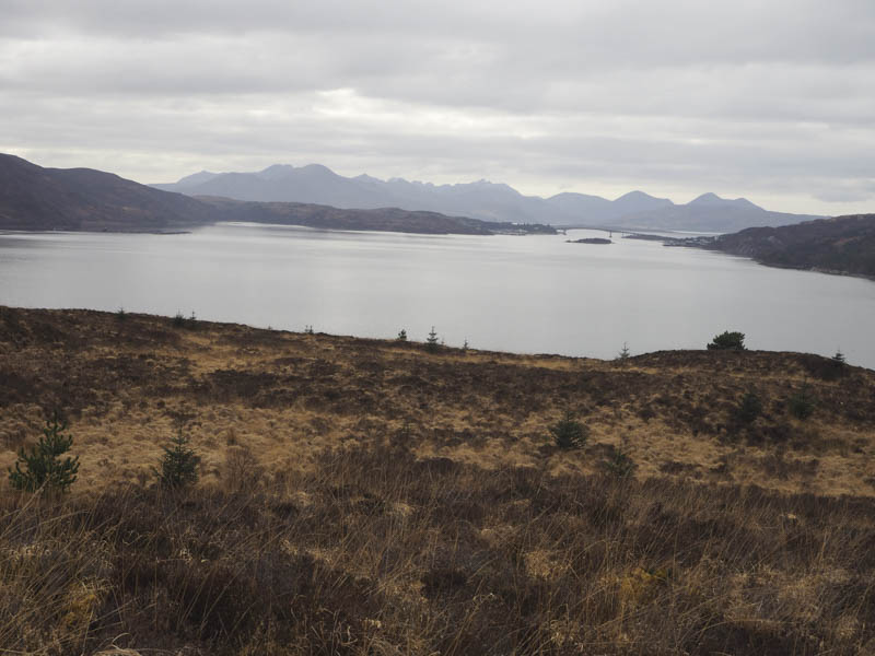
Cnoc Strathellen – I looked at ascending this hill from the minor Plockton to Achmore Road to the north but there didn’t appear to be a suitable starting point so I drove round to the south side of the hill and parked on the verge opposite Loch Lundie.
I rounded a stock gate and entered a mixed woodland where the underfoot conditions consisted of long heather, tussocks, dips and trenches making for awkward walking and wet trousers caused by the damp vegetation after overnight rain. Approaching the summit of Cnoc Strathellen the ground steepened and there were some fallen trees to walk round before reaching the high point of this Tump; a mossy clump of ground.
On the descent I looked for an easier route back to my car but failed, there didn’t appear to be anything easy on this hill.
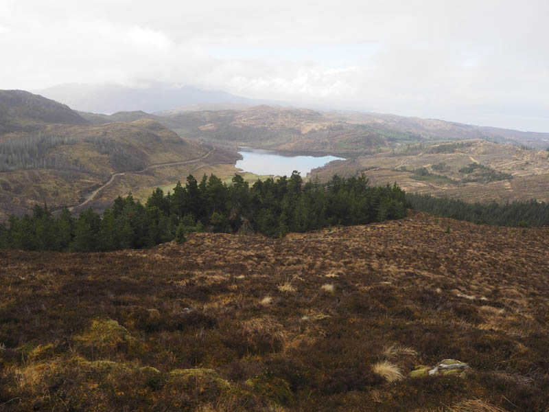
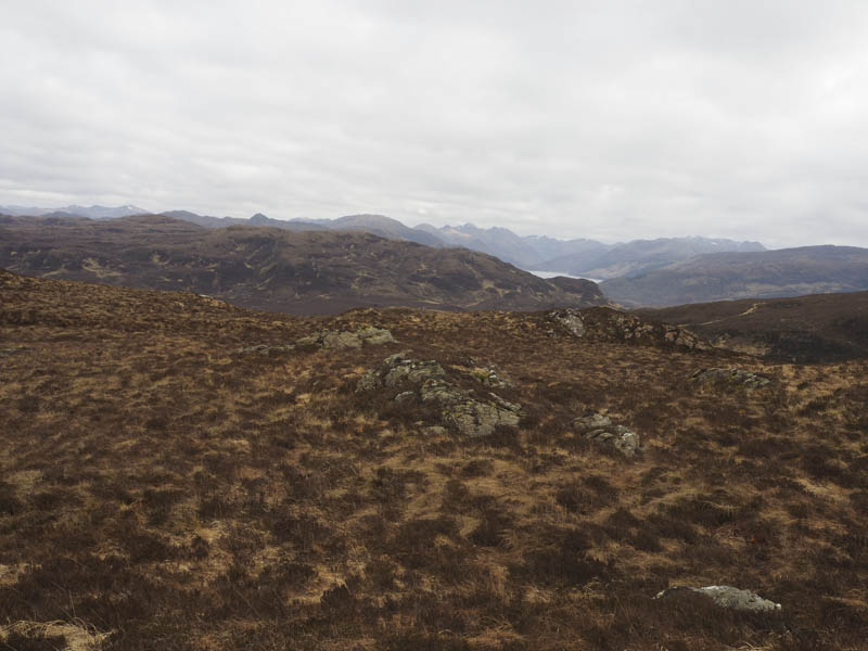
Carn an Readh-bhric – After Cnoc Strathellen I drove a short distance north-east along the minor road on the north side of Loch Lundie and parked on the verge opposite the forest road leading to the radio mast on Carn a’ Bhealaich Mhoir. I walked round the barrier then east along this forest road, which was initially tarred, then south as the track gradually gained a bit of height. At a junction of tracks I went left and continued in an easterly direction along the vehicle track which was a bit rougher gaining more height. Once out of the trees I looked for a route onto Carn an Readh-bhric avoiding the crags but was approaching Bealach Mor before I left the track, crossed some wet ground, then through heather, long grass and tussocks to reach the summit of this Tump, a moss covered outcrop.
I then retraced my route back to the start.
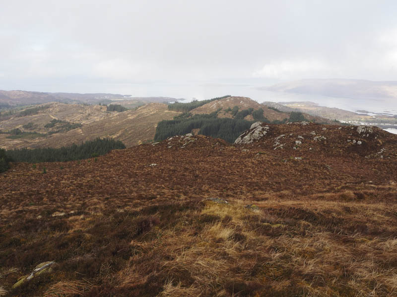
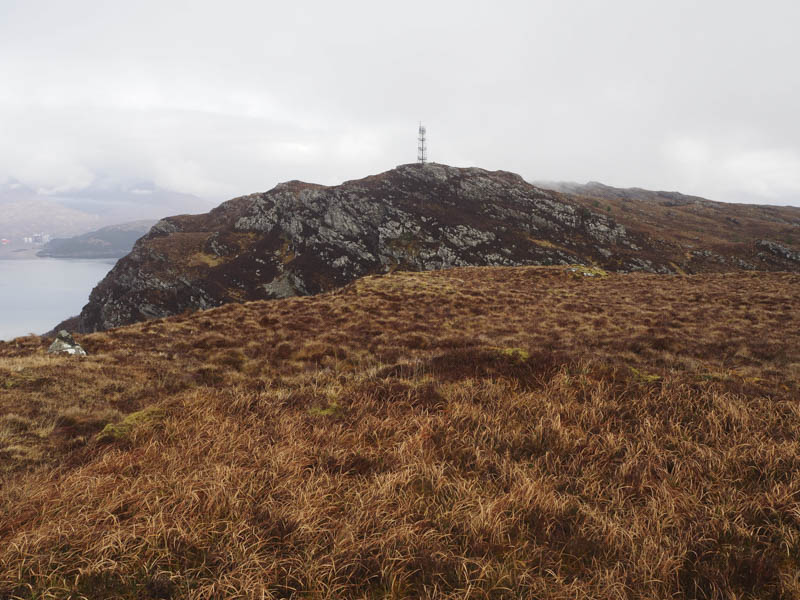
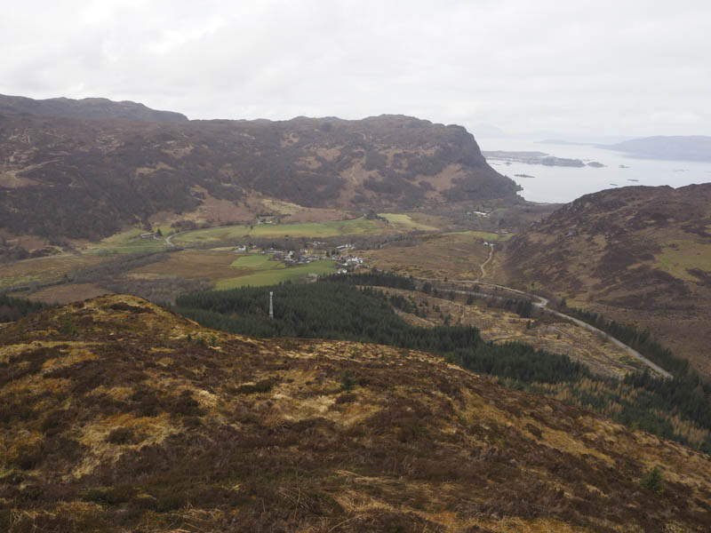
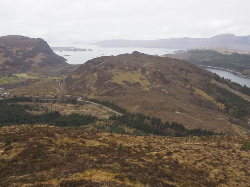
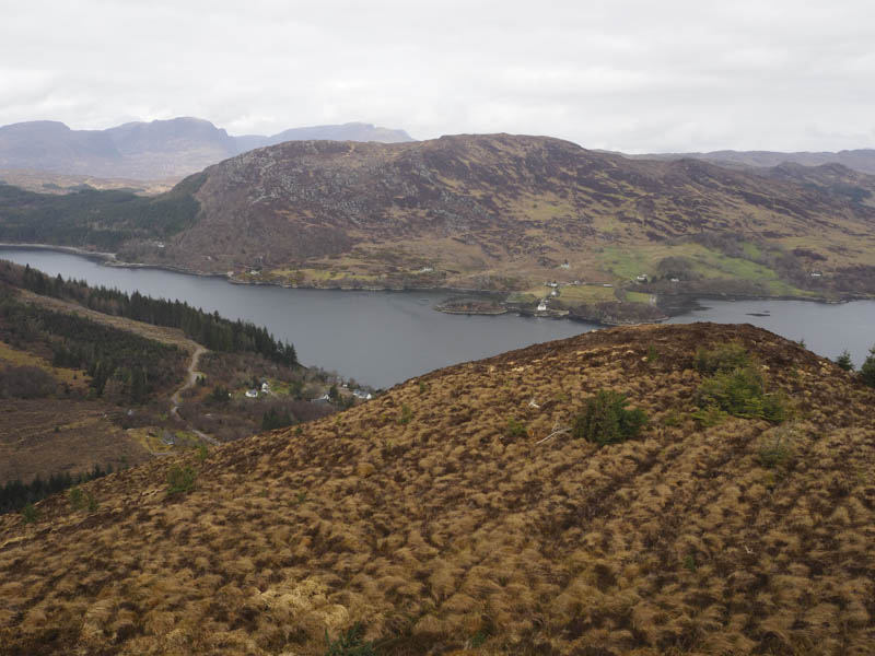
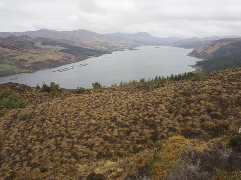
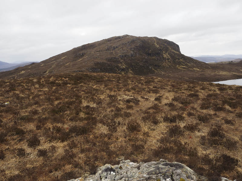
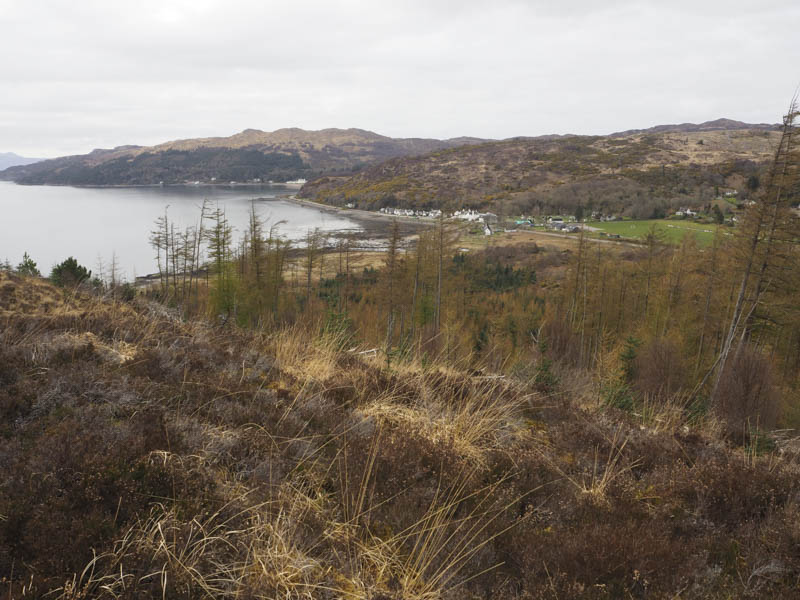
Am Meallan – I left my car in the lay-by on the west side of the A890 Auchtertyre to Strathcarron Road south of its junction to Achmore, crossed the road and walked east through the forest on a vehicle track. Further on the track had been improved including at a steeper section where asphalt had been laid. Some of the trees on the north side had been cleared but near the track’s highpoint there was a gap in mature trees which gave access to the felled area.
The ascent was steep and hard going through the vegetation and tree stumps but eventually led to an area of new plantings where the gradient eased. The route continued through more rough ground now consisting of long heather, dead grass and tussocks to reach an outcrop beside a cairn, the summit of the Tump, Am Meallan.
I did initially try to find an easier return route but failed so the descent was by the upward route.
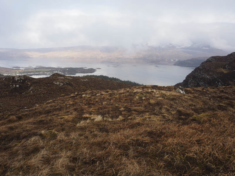
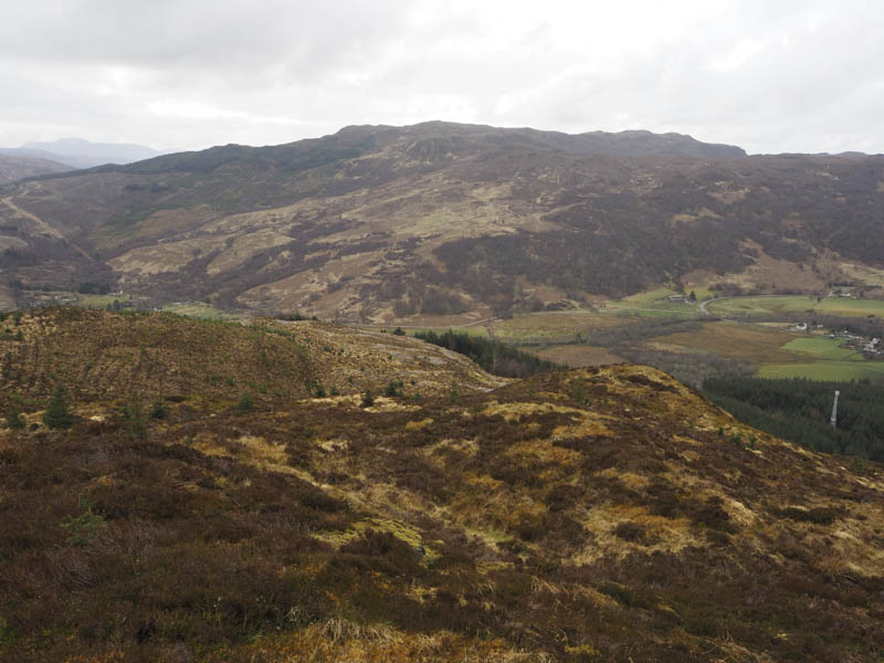
An Carnach – I moved my car further south on the A890 Auchtertyre to Strathcarron Road parking on the verge on the east side of the road near the Lochalsh Dam. I crossed the road and passed through a pedestrian gate onto an old section of roadway and into the Auchtertyre Woodland. (NG854295)
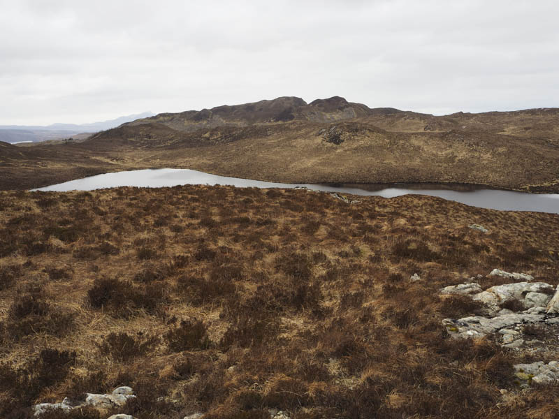
I walked along this old road then onto a vehicle track, not shown on my map, that headed north-west to Loch na Smeoraich and a small hydro dam, hence the reason for the access track.
Prior to reaching this dam I crossed the Allt Loch na Smeoraich and walked south-west initially through some young trees with the inevitable holes. It was then across heather and grass to reach the summit of the Tump, An Carnach, where I visited a few highpoints.
The return was by the upward route avoiding the new plantings.
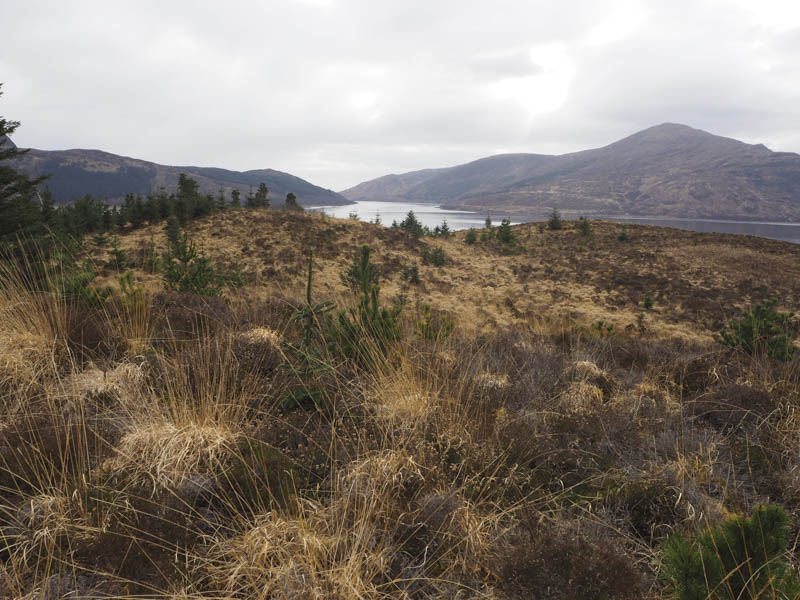
Ard Hill – Located on the south side of the A87 Kyle of Lochalsh to Auchtertyre Road east of Reraig I’ve passed it numerous times but didn’t realise it was a Tump. I left my vehicle in the car park there and walked along a path on the south and east sides of Ard Hill. At the highpoint to the east I left the path and walked through rough vegetation including dead bracken and felled trees that hadn’t been removed to the summit of Ard Hill which appeared to be ground beside a fir tree.
I descended north through growing and felled trees, rough going, to re-join the path which was followed back to the start.
- Total time taken – 6.75 hours.
- Total distance – 17 kilometres.
- Total height climbed – 870 metres.