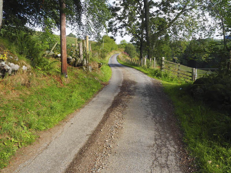
I left my car on waste ground north of Laigh of Cluny, Edradynate, accessed from the minor road on the north side of the River Tay, north-east of Aberfeldy, and continued on foot up this tarred road with numerous pheasants running off into the undergrowth or taking flight.
Immediately beyond the bridge over the Cluny Burn I reached Blackhill which was a private house with gated entry so progress on the track shown on the map wasn’t possible. I therefore worked my way round the old farm buildings using a couple of gates and crossing a wooden fence to gain the vehicle track on the north side of the property.
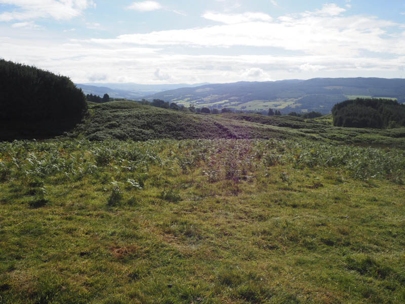
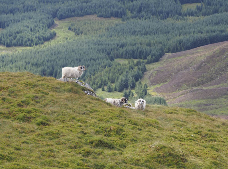
This track was just marks in the grass and led across a couple of fields where sheep were grazing and pheasants running free.
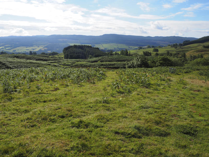
I followed a number of these tracks through the bracken and passed pheasant pens to a gate giving access to a vehicle track that came in from the east. I headed west along this track to the forest edge then north through the trees. No red flags were flying so stalking wasn’t taking place according to the signage.
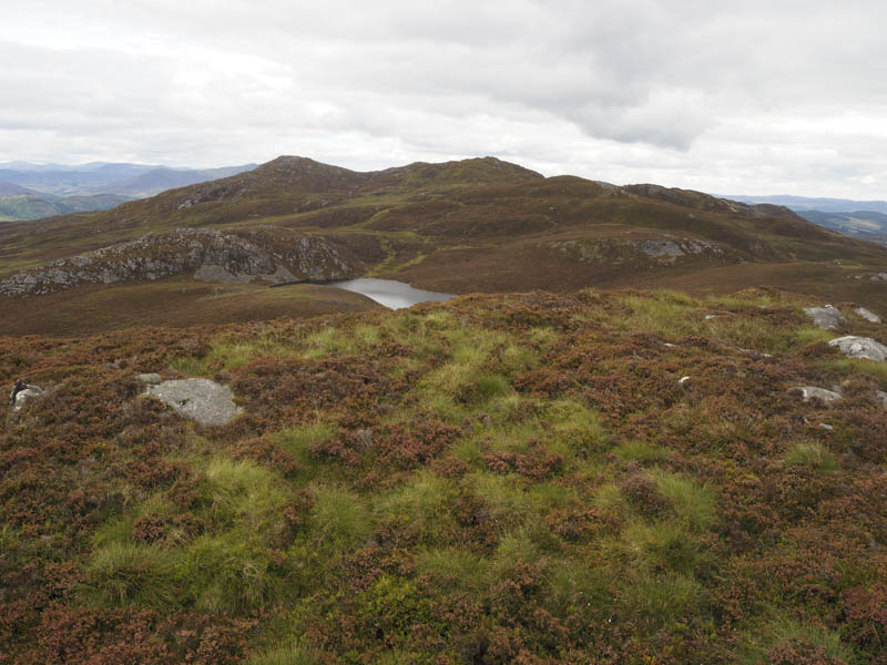
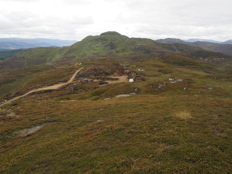
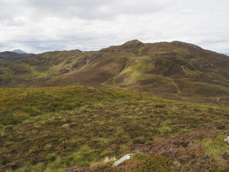
On passing through the gate at the north end of the forest I left the vehicle track and followed the edge of a deer and electric fence which I thought was a bit over the top. I later left the fence to visit the summit of the Tump, An Guirean, before descending north-west through long heather to the col with Farragon Hill.
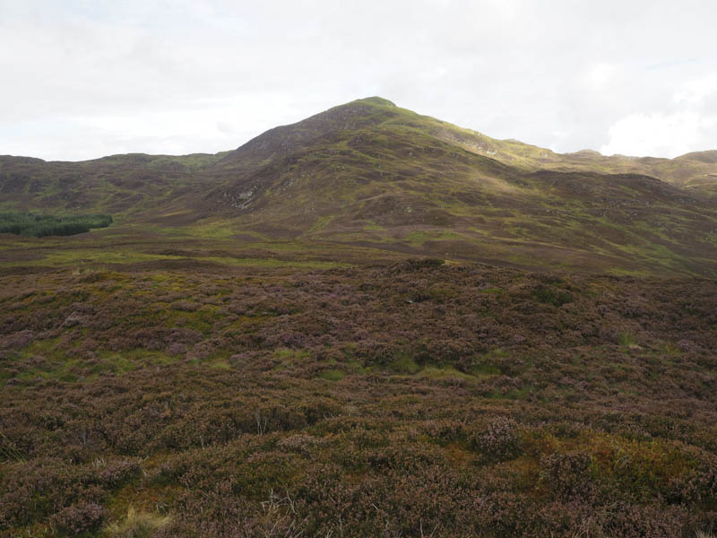
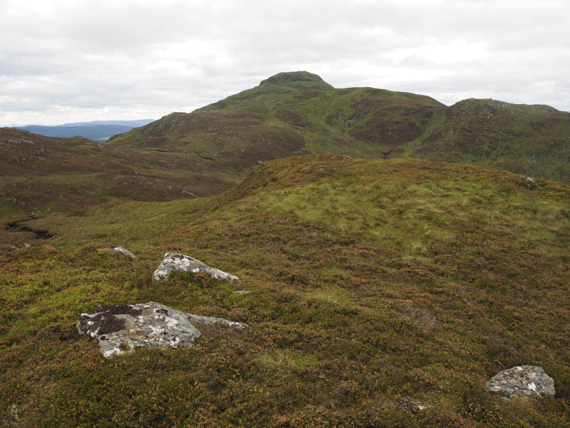
It was then a steady climb through more heather, shorter as height was gained and avoiding the rocks, to reach the cairn marking the summit of this Corbett.
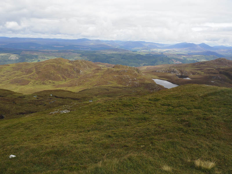
I descended steeply north, avoiding the rocks and visited the Graham Tops, Farragon Hill North Top and Creag an Lochain and the minor summit Creag an Lochain North Top, a Sub Simm.
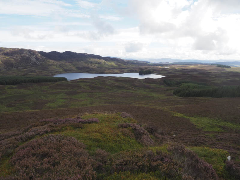
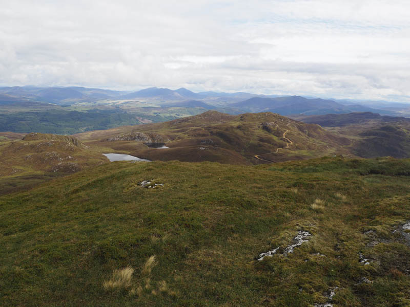
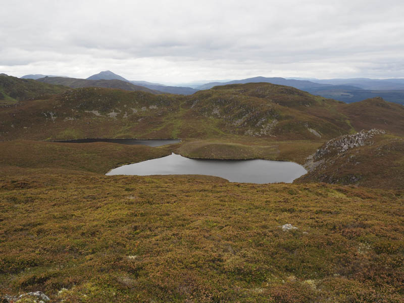
The descent south-east took me round the north side of Lochan a’ Chait then I ascended the Sub Simms, Beinn Eagagach West Top and Meall an Fhearna.
It was then a short and easy walk to the Hump and Graham Top Beinn Eagagach where wasps were swarming around the summit as was the case on Farragon Hill.
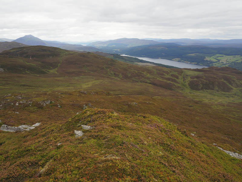
I descended to the vehicle track high on the south face of Beinn Eagagach and followed it east, on a fairly steep descent, to below Tom an Fhuarain. I then climbed this Graham Top through some long heather and grasses.
The route south took me to above the cliffs then I traversed west mostly on deer and sheep trails to reach the vehicle track east of Farragon Hill. I followed this track to Brae of Cluny and the start.
- Time taken – 7.75 hours.
- Distance – 20.25 kilometres.
- Height climbed – 1090 metres.