I left my car on an area of rough ground on the north side of the single track road immediately east of the road bridge over the Allt Charnan in Glen Etive, accessed from the A82 east of Glen Coe. Once geared up I crossed the bridge and continued straight ahead onto a new vehicle track giving access to Glenetive Forest, which avoided the old route through the grounds of Invercharnan. A locked gate prevented vehicular access.
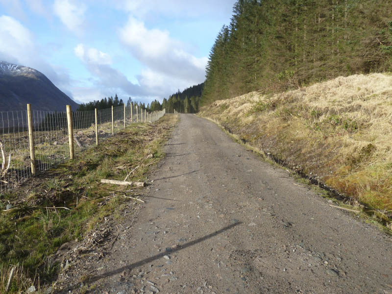
This new track soon joined the old track which ran through the forest initially on a south-westerly direction then north-west well above the Allt nan Gaoirean. The track had obviously been upgraded for the extraction of the timber as the trees to the west had been harvested. A new deer fence was under construction on that side of the track which later doubled back on itself and here a peaty path took me out of the trees.
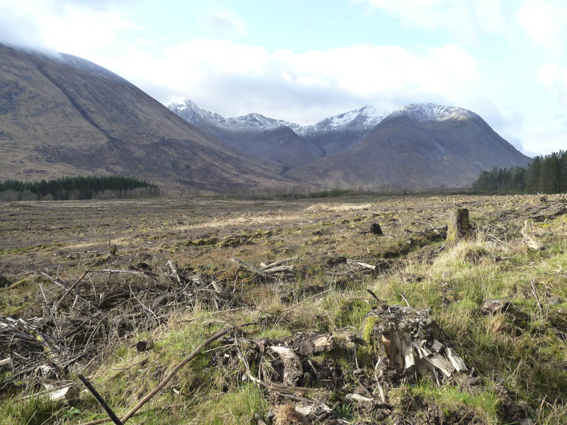
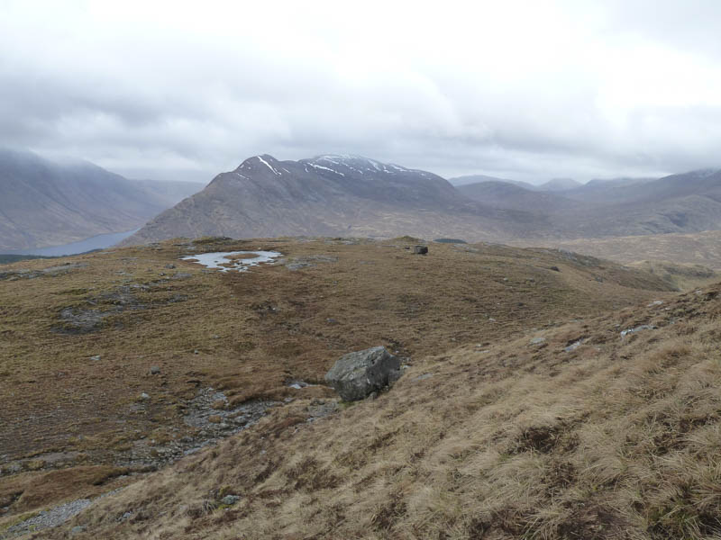
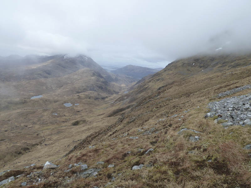
On clearing the forest there was a loss of height before crossing the Allt nan Gaoirean which was running low although the boulders were slippery. It was then a gradual ascent on a path towards Meall nan Gobhar.
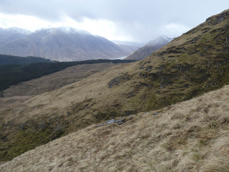
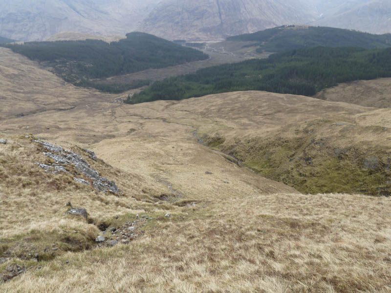
The path later steepened then turned north as I commenced the ascent of Beinn Fhionnlaidh’s East Top. Higher up the path became less obvious and I eventually reached the west ridge where there were some old metal fence posts. These were followed to the summit of this Corbett Top, marked by a cairn.
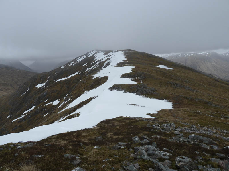
I returned along the west ridge to the col with the Munro, Beinn Fhionnlaidh and commenced its ascent following a path which was later covered in snow. Higher up the ridge steepened, narrowed and the snow made for a pointed ridge with steep sides. I initially made an attempt to climb this ridge but it became obvious the dog wouldn’t make it without going over the edge. I therefore abandoned the ascent and returned by the upward route bypassing the East Top.
- Time taken – 5.25 hours.
- Distance – 13 kilometres.
- Height climbed – 970 metres.