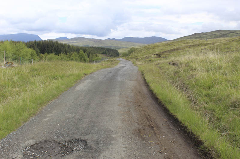
I parked on an area of grass beside the gates giving access to Talla-a-Bheithe Estate at Bridge of Ericht, located on the north side of Loch Rannoch in Perthshire. Once through the pedestrian gate there were signs regarding forestry operations and here the vehicle track was covered in bits of bark etc. The track then climbed to and along the edge of a forest some of which had been felled. The road surface now consisted of tar although there were a few pot holes and sections that had been re-surfaced. It is possible to cycle up this track but I planned to take in a few tops en-route to Stob an Aonaich Mhoir. In hindsight maybe I should have considered using one for the first seven kilometres although it would have involved a lot of pushing on the numerous inclines.
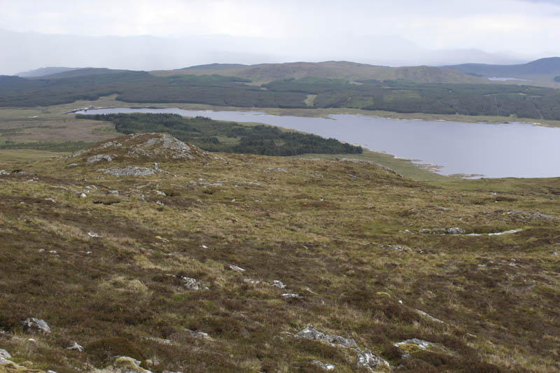
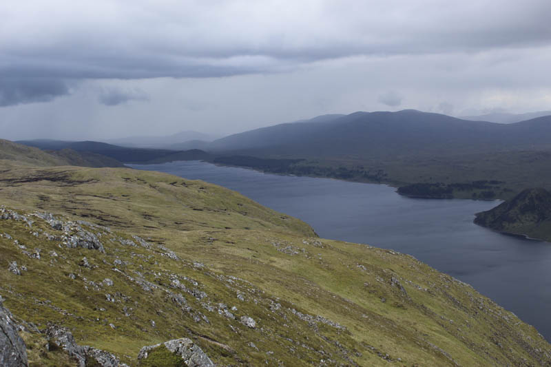
The track continued north up the side of the forest, passed the dam at the south-east end of Loch Ericht before at the Ruighe Ghlas ruin crossed the bridge over the Allt a’ Choire Odhair Bhig. Half a kilometre further north I came to the point where I intended crossing the Allt Ghlas via a bridge to gain access to Sron a’ Chlaonaidh. However most of the bridge structure was missing so a bit further north I crossed the stream with dry feet as the water level wasn’t too high.
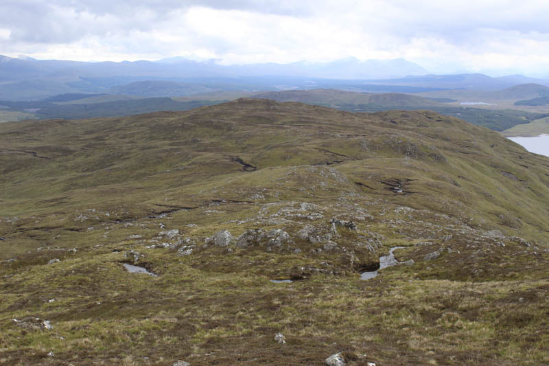
I commenced the ascent of this Graham Top where the walking was fairly easy across pathless terrain consisting of a mixture of vegetation as well as areas of bog and stone.
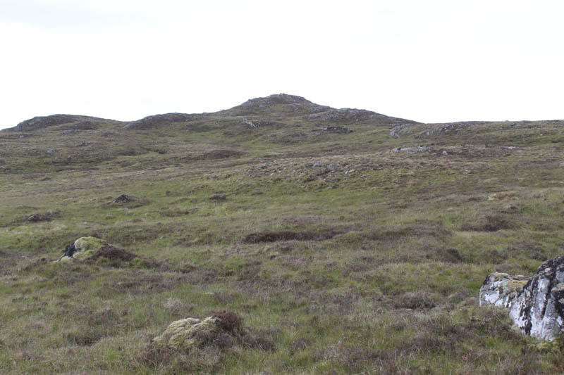
The summit cairn and outcrop was reached and here I encountered a short shower.
Thereafter I headed north-east across undulating ground and round several knolls to reach the col below Creag na h-Iolaire.
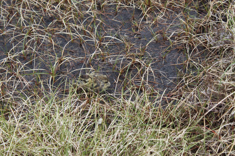
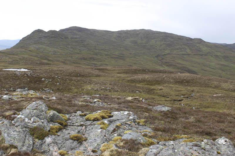
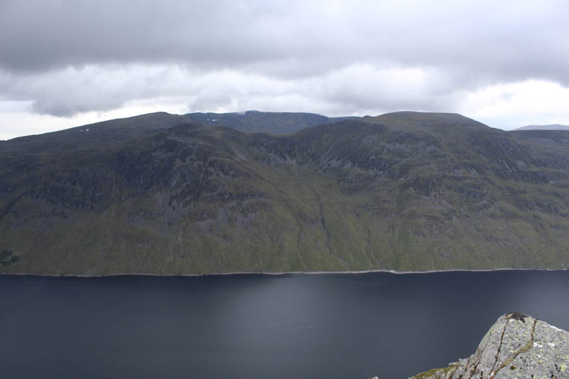
I ascended this rocky ridge to its high point followed by a short descent east before climbing to the knoll marking the summit of the Corbett Top, Carn Dearg. Near this summit I disturbed a grouse family where the adults tried to distract me from their young.
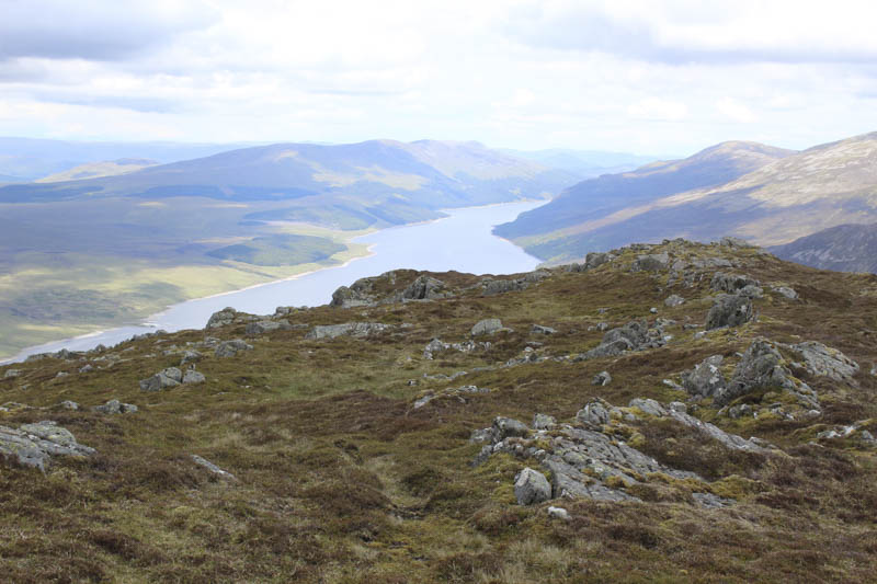
I descended north-west before climbing onto the unnamed 792 knoll. Another change of direction took me along the south-west ridge of Stob an Aonaich Mhoir to the cairn and outcrop marking the summit of this Corbett.
Another shower was obviously approaching so I had a quick bite to eat then in the rain headed off in a south-easterly direction meeting a chap on his ascent, the only person I had seen all day. When he removed his jacket hood I recognised him from the running club I was previously a member of. After an extended chat I continued on my descent reaching the tarred road at NN546685.
I then made the 12.5 kilometres walk down the road to the start. I wasn’t even half way when the chap passed me on his bike.
- Time taken 8 hours.
- Distance 28.5 kilometres.
- Ascent – 905 metres.