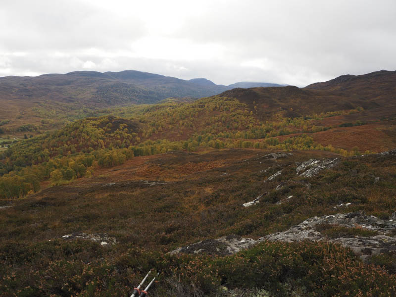
Creag Ard Mhor – I parked at the start of the vehicle track on the north side of the A831 Beauly to Cannich Road, opposite Erchless Castle, and headed up this track through the wood mainly in a north-easterly direction. The track later turned west gaining some more height.
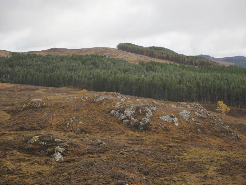
Immediately beyond an area where rock had been excavated I left the track and headed fairly steeply north through well spaced trees with some fallen timber to avoid. Higher up I crossed an area where the trees had been harvested before climbing through more mature trees and windblown timber to the summit of this Tump. The highest point was supposed to be a mound but which one wasn’t obvious due to the fallen trees. The return was by the upward route.
Creag Liath – I left my vehicle in the car park at Inchmore at the start of the access road to Glen Strathfarrar, accessed from the A831 Beauly to Cannich Road at Struy Bridge. I crossed this minor road and passed through a double gate in the deer fence disturbing the farmed deer and headed along the track at the side of the field then as the track continued through the rough vegetation and trees.
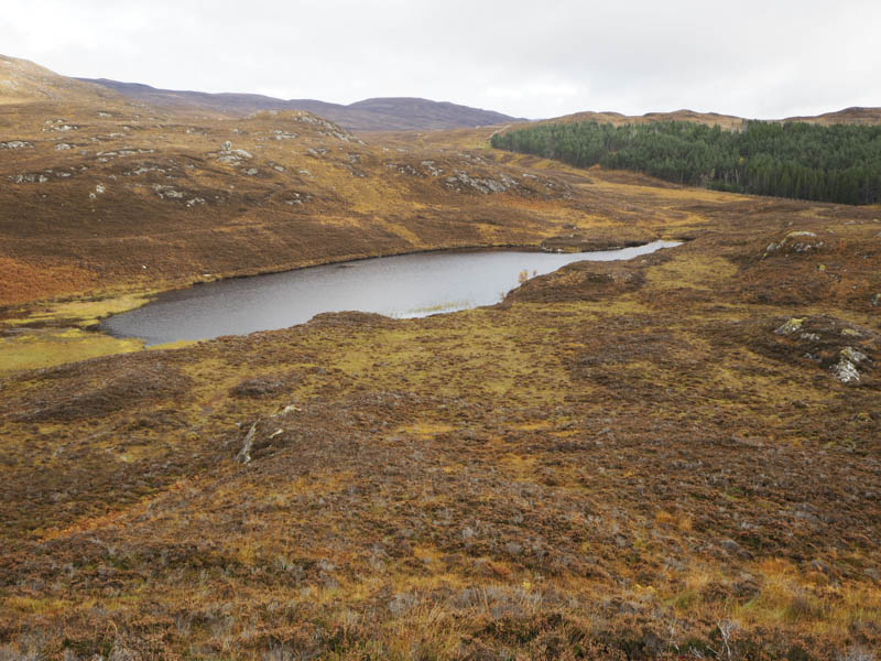
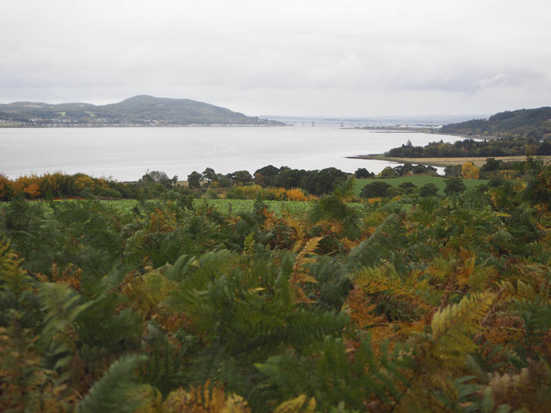
All the gates were open until at the crossing of the Allt Baile na Cuileach. Once beyond it I was onto the open hillside. However I soon left the vehicle track and headed through heather and some rocks as I ascended Creag Liath. The highest point of this Tump was an outcrop but I couldn’t decide which one so visited all four.
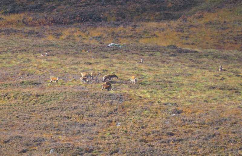
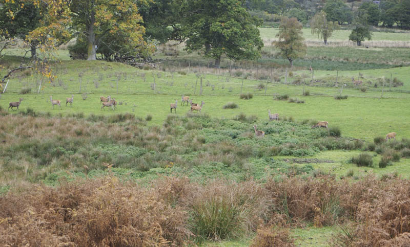
I spent an hour at the summit listening to the roaring of the stags but they were well camouflaged as I had difficult spotting them amongst the autumn coloured vegetation. The return was by the ascent route.
Kirkhill – I drove to the churchyard at the Mausoleum in the village of Kirkhill, reached from the A862 Inverness to Beauly Road, where I was approached by the curator who lived next door. I told him the purpose of my visit and was permitted to park in front of his garage. I entered the graveyard, turned right then it was only a few steps to the highest point of this Tump.
Cnoc a’ Chinn – I left my car on the verge east of Kirkton Farm, accessed from the A862 Inverness to Beauly Road immediately west of the village of Bunchrew. There were a number of notices displayed around the farm which gave me the impression that walkers weren’t welcome.
I walked through the farm, passed the garden at Kirkton House and after a bend in the vehicle track came to a stock gate. Beyond it, a vehicle track was followed west to just before a lochan where I went through a gate in a deer fence, crossed a grassy hilly field to reach a stock gate. This gave me access to an overgrown path amongst trees and rough vegetation.
Higher up a direct approach to the summit of Cnoc a’ Chinn wasn’t possible due to gorse bushes so I walked further west before finding a suitable route. Once onto the summit area various tracks had been cut through the gorse so I followed some of them to the trig point marking the summit of this Tump.
The return was east along the tracks through the gorse bushes before rejoining the upward route and following it back to the start.
- Total time – 5 hours.
- Total distance – 10.75 kilometres.
- Total height climbed – 550 metres.