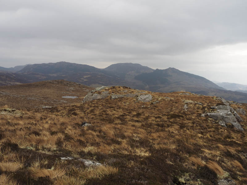
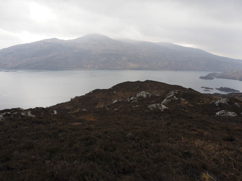
We parked at the side of a passing place on the minor single track Erbusaig to Balmacara Road opposite Loch Iain Ogg. We then walked a few metres west before leaving the road and heading through some rough vegetation with traces of a path to a stile over a stock fence. Thereafter the path disappeared and it was across more rough ground, including tussocks, to reach the summit of the Tump, Glaick Hill.
After a break here I headed back north as it appeared the North Top was higher. On reaching its highpoint it was either higher or equal in height.
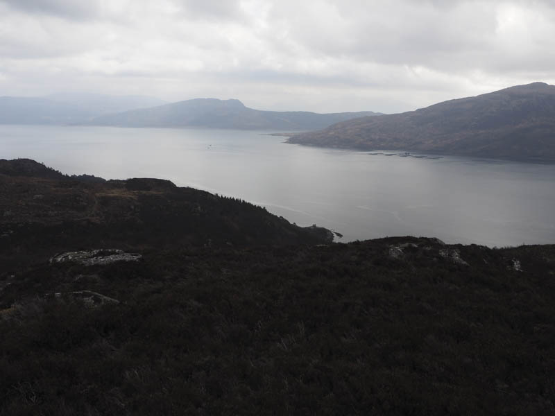
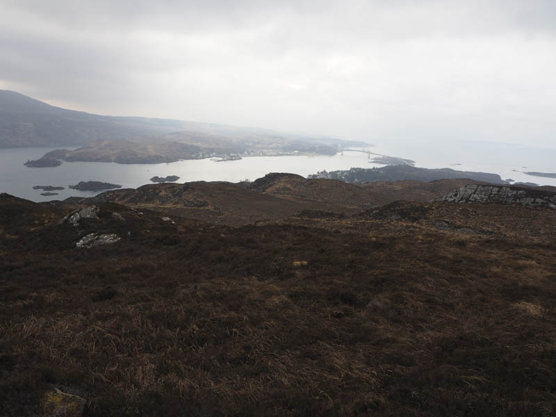
I then rejoined my walking companions as they descended south through more rough ground to the path from Balmacara to Kyle of Lochalsh (not shown on OS Maps) above the main A87 Isle of Skye Road.
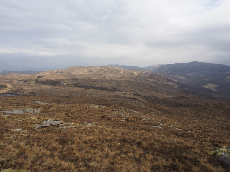
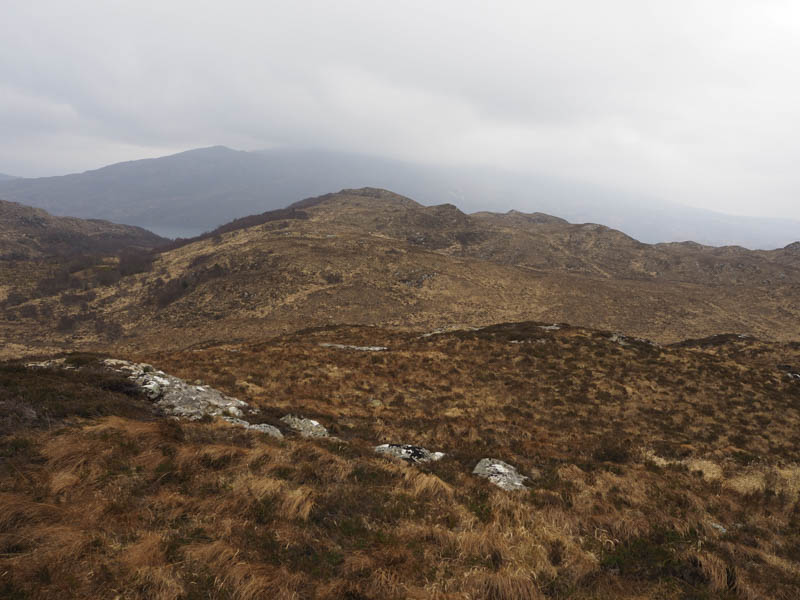
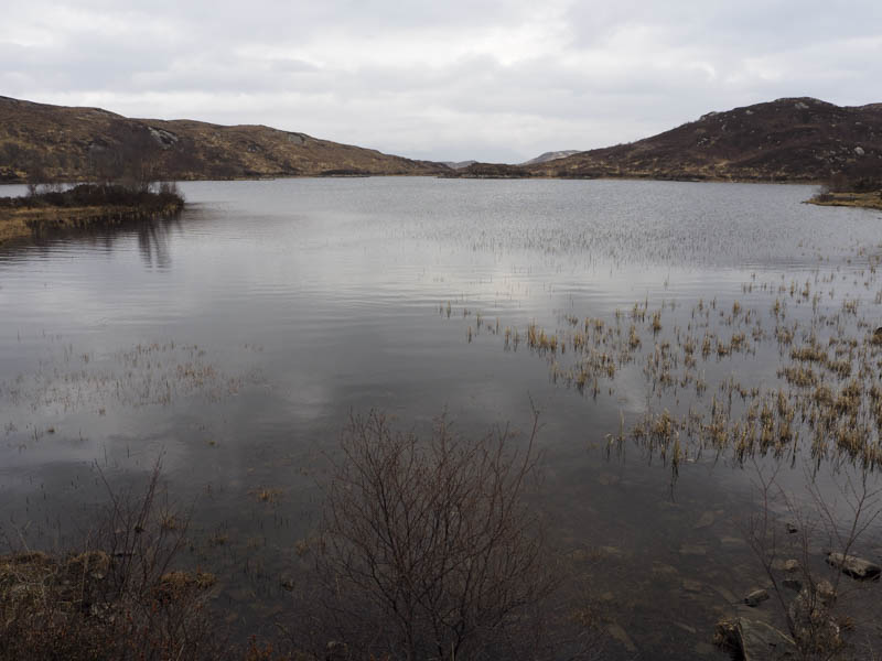
This path was followed west to the outflow from Loch Sgalpaidh and the junction of the track from the Erbusaig Road. Just beyond this point we crossed a stock fence and climbed fairly steeply through rough ground, dead bracken and few trees to reach the summit of the Tump, Carn na Snaobhaig.
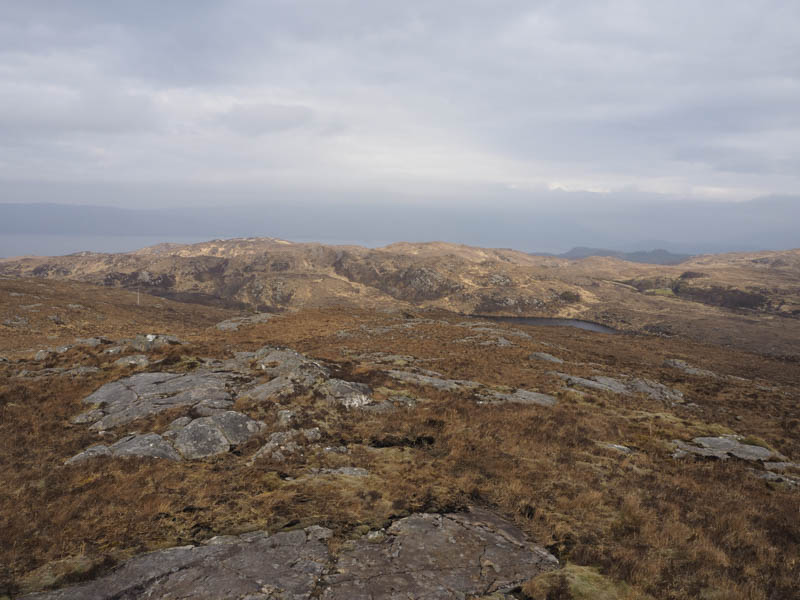
From there we headed north across rough vegetation and tussocks before climbing to the summit of the Tump, Carn Loch Scalpaidh.
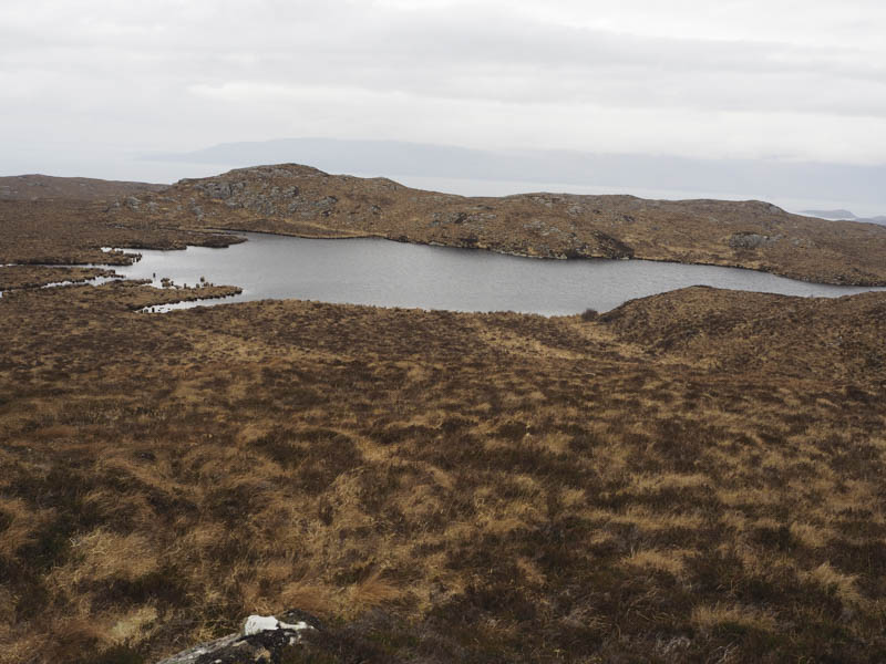
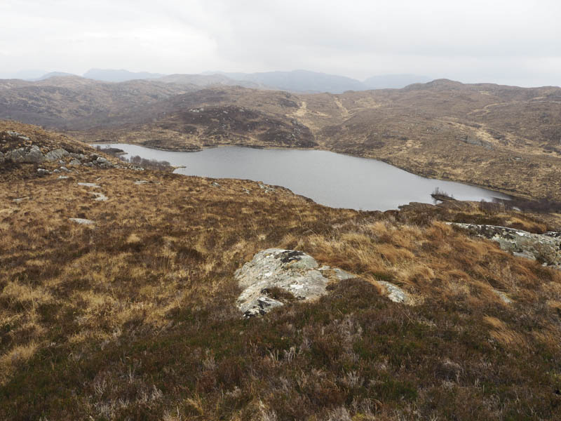
We then descended east through pathless ground to the south end of Loch Sgalpaidh, where the ground was a bit wet and boggy, and onto the path on the east side of the loch.
This path was followed to the Erbusaig Road then it was a road walk east back to the car.
- Time taken – 4.25 hours.
- Distance – 6.5 kilometres.
- Height climbed – 340 metres.