Menachban, Whitefield Hill and Kindrogen Hill – The start of this walk was the recycling centre on the south side of the A924 Blairgowrie to Pitlochry Road within the hamlet of Enochdhu, where there was space for several vehicles in the parking area opposite the bins.
I crossed the A924 and walked north on the tree lined Cateran Trail, a circular walk of the glens of Angus and Perthshire, passing a few house and buildings.
At NO072643 I left the Cateran Trail and walked east along an estate track, crossing a ford then passing through a stock gate before looking for the path shown on my map that descended to the Allt Doire nan Eun.
However there was no sign of it but I could see a bridge over this stream so headed through the long vegetation to this crossing point but it wasn’t in good repair, the wooden structure being rotten in places. Upstream with the water level fairly low I found a suitable place to cross.
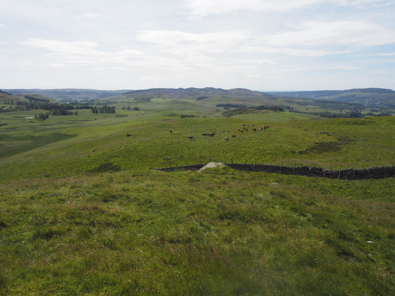
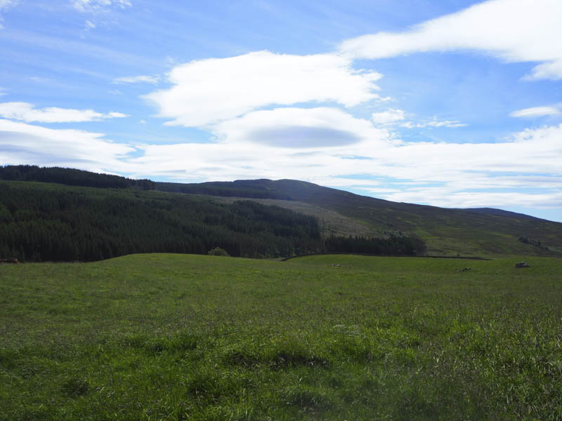
I briefly looked for the mapped path but with no sign of it and having spotted cattle on the hillside I gave them a wide berth by heading round the hillside to the south-east, through heather, grasses, moss and some wet ground then onto the summit of Menachban. The highest point of this Tump was either some grass or a clump of moss.
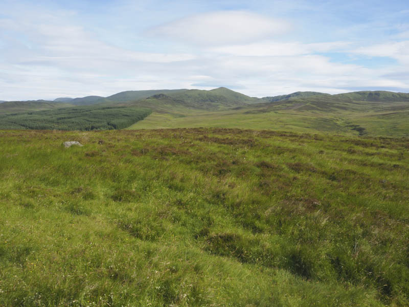
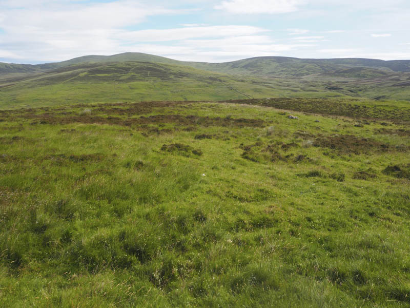
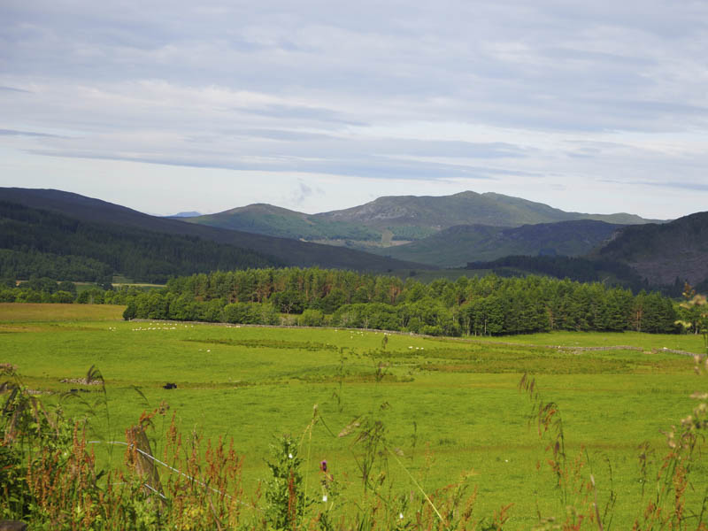
I took a break here with views across to the Tump, Elrig, which I had ascended the previous weekend. I descended Menachban heading south using some animal trails then through boggy ground to reach a stock gate. Beyond it I walked briefly west on an estate track then onto the north ridge of Whitefield Hill where there was a grassy track west of an old stone dyke. On approaching the summit I left this track and passed through a gap in the dyke to reach a large rock and onto the highest point of this Tump, some grass.
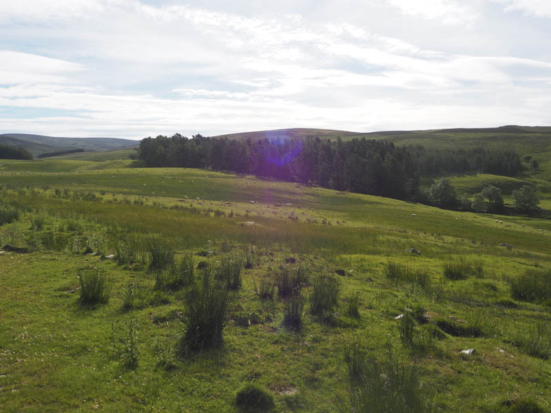
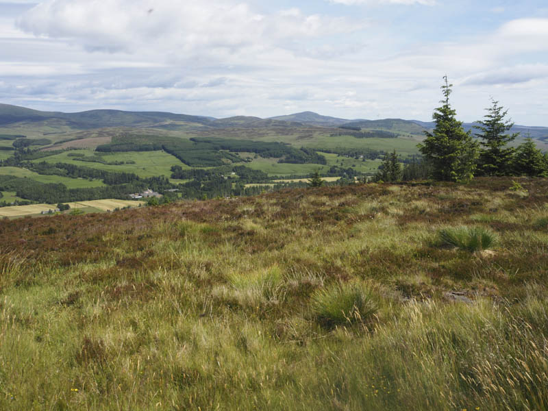
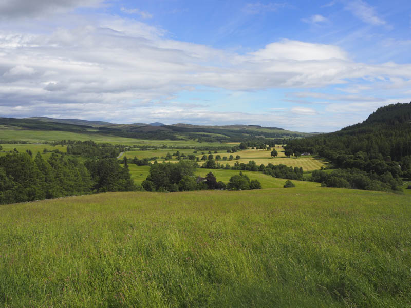
The descent west was on a grassy track to reach a deer fence which was followed north-west then south-west to join the vehicle track that I briefly used prior to ascending Whitefield Hill. This led to a couple of gates, one in a deer fence with a No Entry sign claiming the ground beyond was the curtilage of a house. (Balvarran) Although I didn’t agree with this I passed through the adjoining stock gate and entered a field containing cattle, keeping close to the south side of the Inverchroskie Burn, to avoid them. Another gate took me into a field of long grass, probably awaiting cutting for silage, so I stayed close to the burn before reaching a stock fence, topped with an electric wire. Beyond it was a fairly a steep drop to reach the A924 so I walked south along the edge of the fence until the embankments gradient eased. I then carefully crossed the stock fence and electric wire onto the main road which was followed back to the recycling centre.
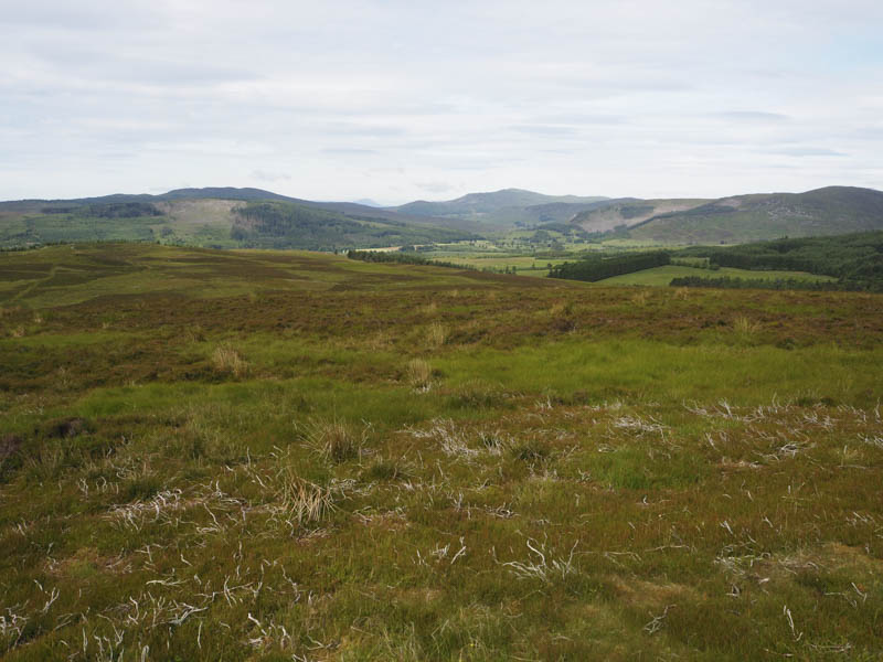
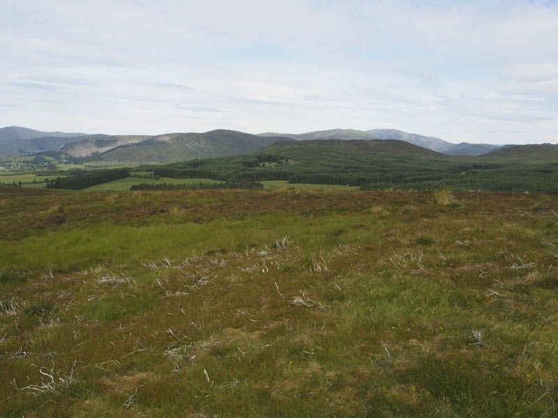
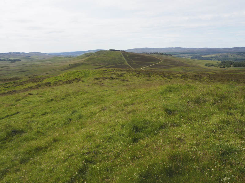
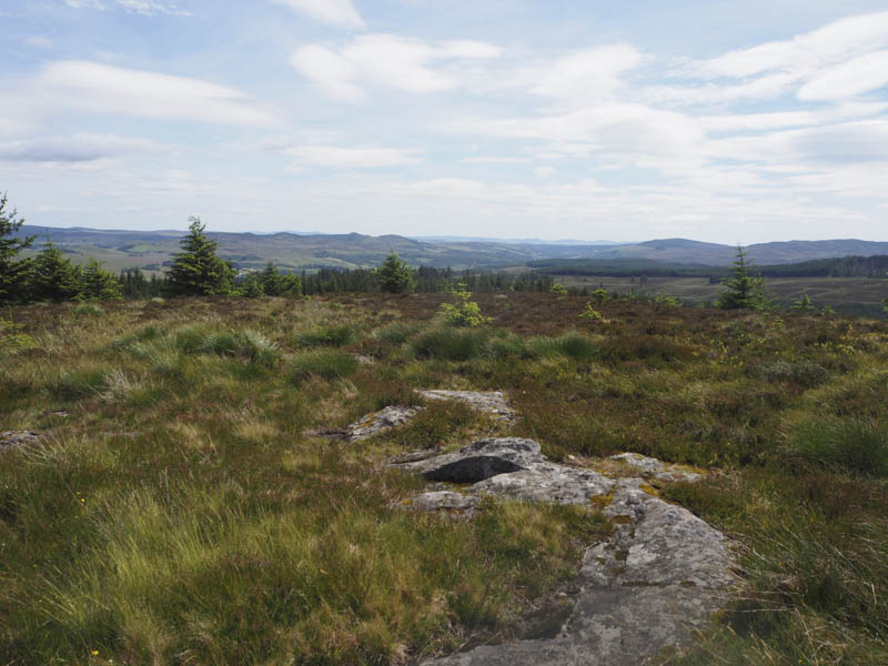
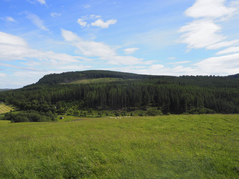
From there I followed the Cateran Trail south passed a few houses and across the footbridge over the River Ardle where I left the Cateran Trail and walked west along a vehicle track to East Lodge and a sign for Kindrogan Wood. I walked up this forest track to a sign for Kindrogan Hill then another forest track led to a marker post at NO056622. A path, not frequently used, headed up through the trees to the east of an old stone dyke with a couple of overhanging trees partially blocking the way. An area where the trees had been harvested was reached and here there were more fallen trees to work around before crossing the dyke and rejoining the path before it dipped slightly. Prior to reaching the edge of the forest a boggy area was crossed then the route was blocked by more fallen trees. I found a way through the upright trees onto the open hillside where I climbed through some brash and heather to Kindrogan Hill’s trig point, although the highest point of this Tump, was a nearby outcrop.
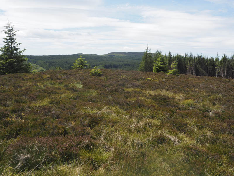
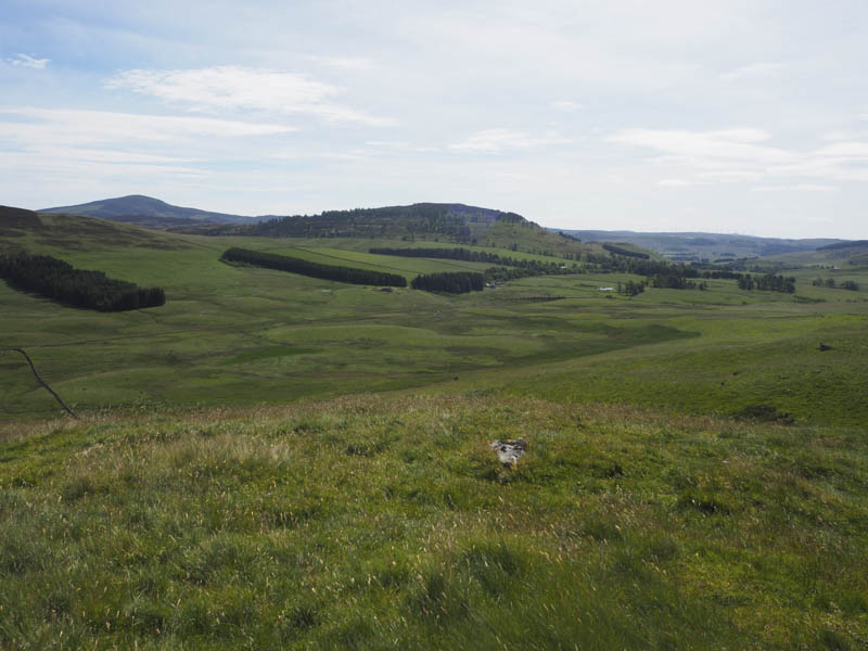
The flies had been a nuisance for a while so thankfully while sitting at the summit partaking of lunch the wind increased and the flies disappeared. After my break I descended via the path back to the forest track where I walked north-west to near its end. Here another little used path, close to a small burial ground, took me through the partially cleared wood, latterly avoiding more fallen trees, to the vehicle track on the south side of the River Ardle. I then followed this track back to the Cateran Trail and the start.
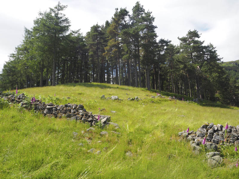
Straloch Hill – I parked at the south side of the A924 Blairgowrie to Pitlochry Road just west of the access road to Straloch House then walked briefly back along the main road. On accessing the private road to Straloch House I left it, passed through a stock gate, and commenced the ascent of Straloch Hill. This was through a grassy field containing sheep and lambs to a stock fence. On crossing it I was into a wood where the trees were well spaced and rams resting. The highpoint of this Tump was the grassy knoll amongst the trees.
On returning through the wood I spotted a gate in the fence so my return route was slightly east of the ascent route.
- Total time taken – 6 hours.
- Total distance – 17.75 kilometres.
- Total height climbed – 615 metres.