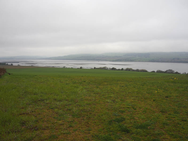
Kinbeachie Hill – The summit of this Tump is the verge of the B9163 north-east of its junction with the B9169 to Culbokie in the Black Isle, Easter Ross. I had previously attempted to locate the highpoint on this road but as it was getting dark and there were a number of cars around it wasn’t possible to stop.
On this occasion it was early Sunday morning with very few cars on the road so I was able to stop at the highpoint on the road, exit my car, visit both verges, then drive off.
Carn Beag East Top, Carn Beag and Leathad Riabhach – I parked at the end of the single track road at Boath, reached from the B9176 Struie Road in Easter Ross, where a new car park had been constructed. I walked north-west along the estate track then the track closer to the south side of the River Averon before rejoining the estate track.
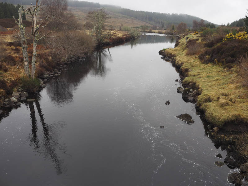
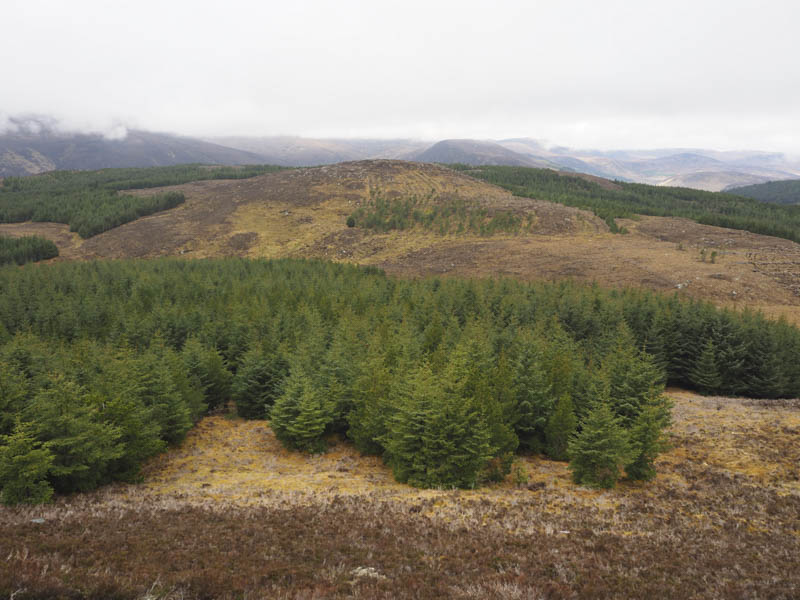
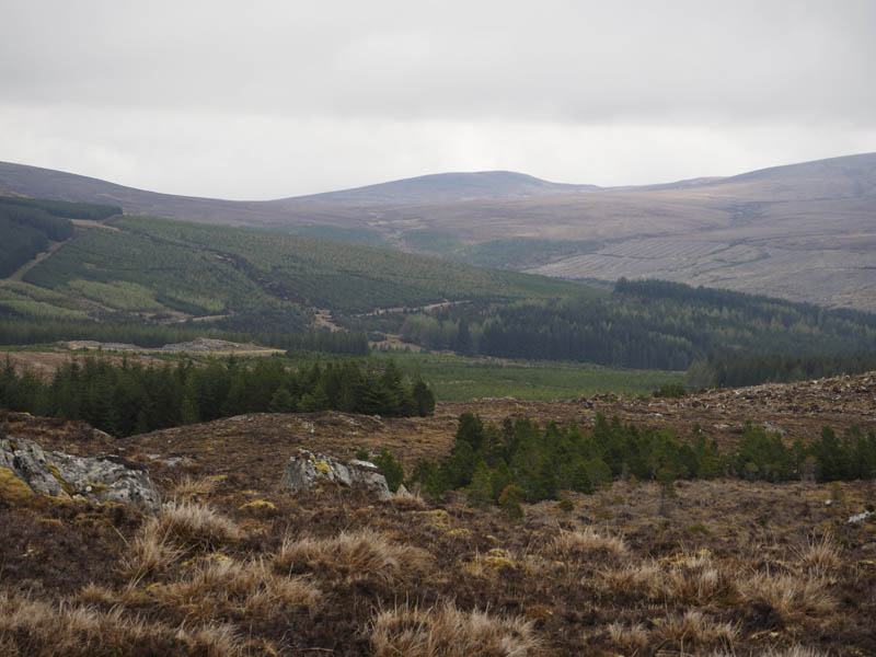
On reaching and crossing Kinloch Bridge I continued in a north-westerly direction to a junction of tracks at NH555755 where I went left, west, to a bend in the track then north-east and here the condition of the track deteriorated due to tree felling that had taken place. However there were still areas of mature trees with some young saplings. I heard the first cuckoo of the year.
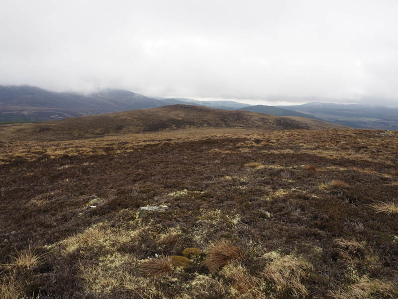
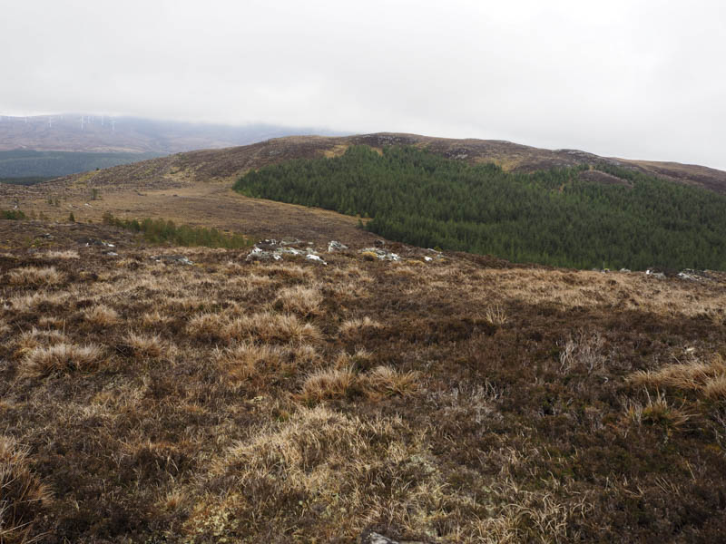
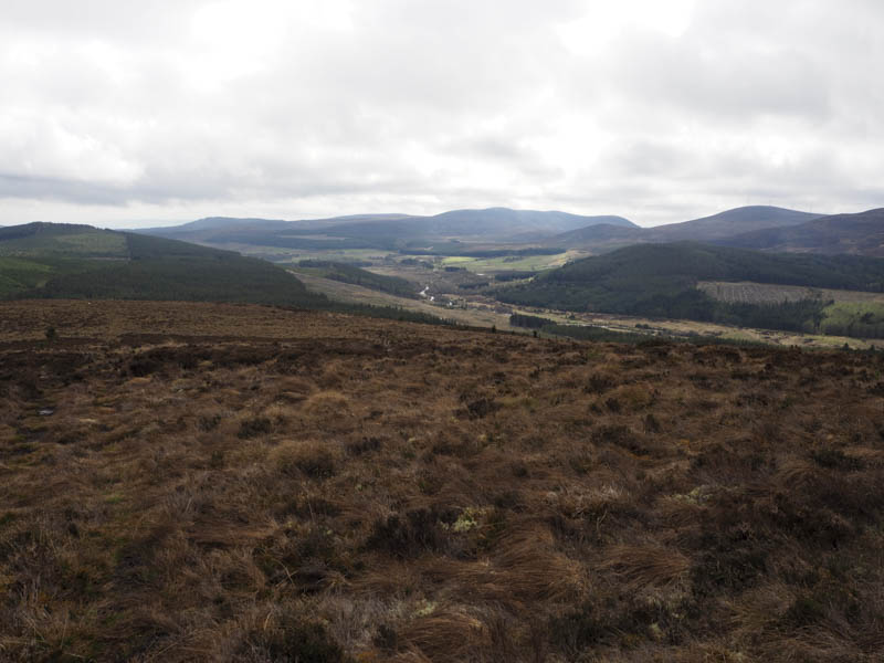
At NH560762 I came across a little used ATV track which took me through some brash and young saplings onto the open hillside where there were one or two trees growing. I entered the low cloud but it soon started to lift as the track, wet and boggy in sections, became less obvious. The track finally disappeared with the final 200 metres or so through vegetation to reach the cairn marking the summit of the Tump, Carn Beag East Top.
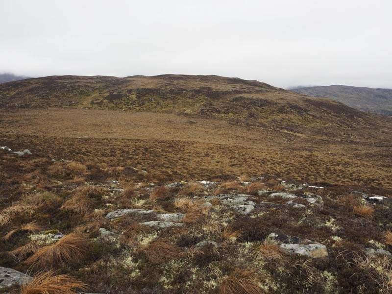
After a break here, the higher tops were shrouded in cloud, I descended west to a wide col, where the vegetation was soft and a bit boggy. It was then an easy ascent to the summit of the Hump, Carn Beag, marked by a cairn.
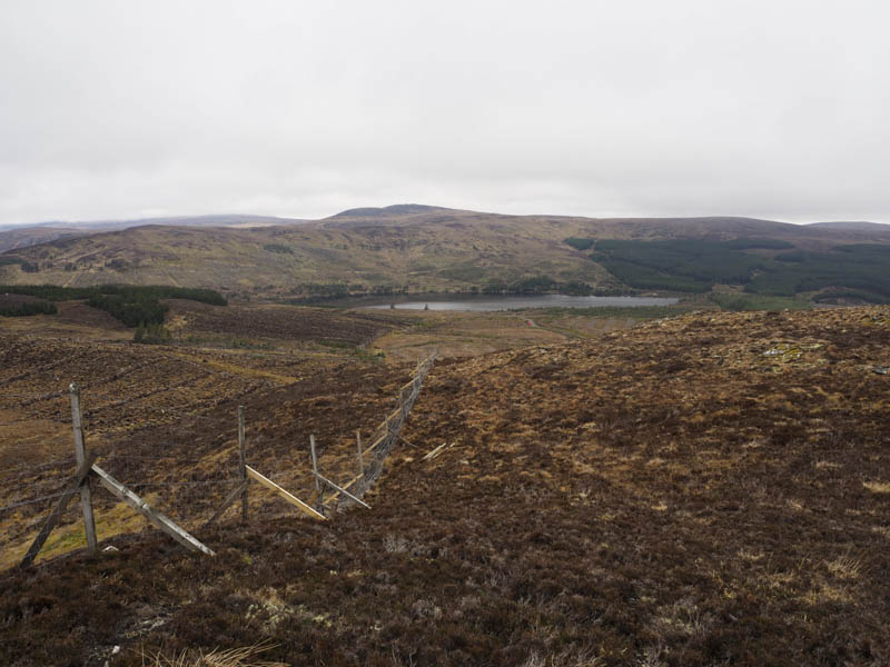
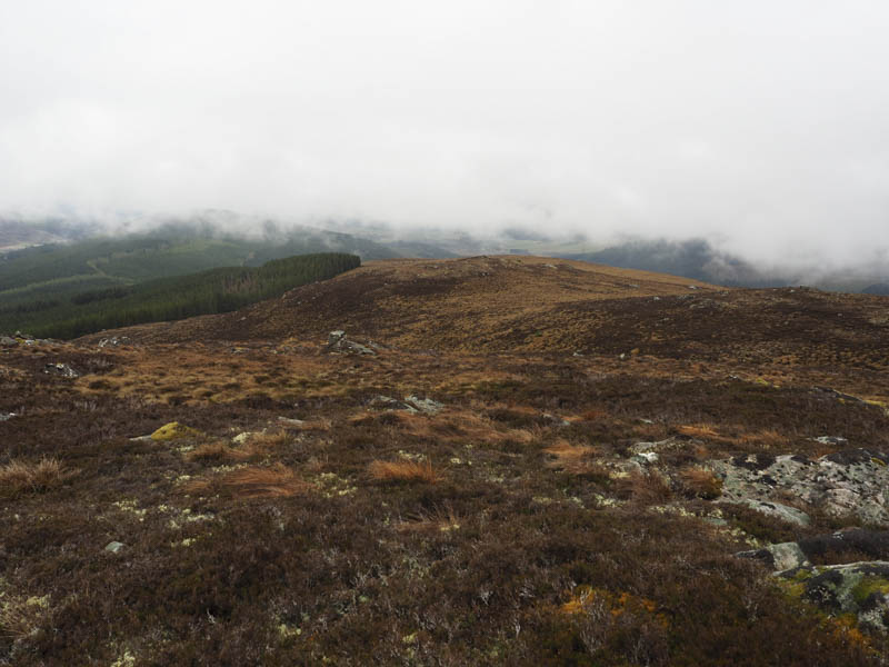
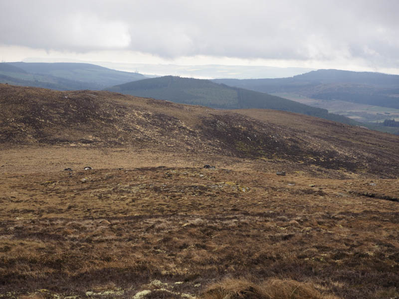
To the west of this summit was a deer fence, recently repaired, which I followed north then west to north of the col with Leathad Riabhach where there was a gate in the fence. Unfortunately it was tied down so I used some wooden slats to clamber over the fence, although I didn’t think they were very safe. Boggy ground was then crossed then it was through some young trees and drainage channels as I ascended Leathad Riabhach where the summit of this Tump was marked by a two metre high boulder.
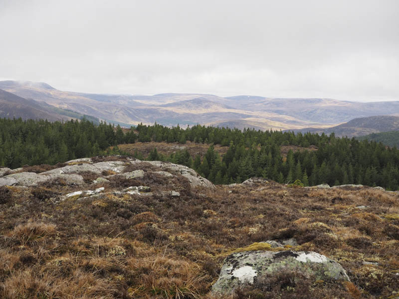
The return was by the approach route, re-ascending Carn Beag and its East Top.
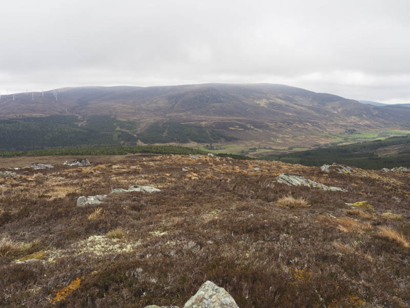
However on reaching the forest track at NH560762 I went left, the track swinging round to the south, soon reaching another junction where I went right, the underfoot conditions an improvement on the higher route. At NH555755 I rejoined my approach route and followed it back to the start.
- Time taken – 4.25 hours.
- Distance – 13.5 kilometres.
- Height climbed – 460 metres.