Cnoc Muigh-bhlaraidh and Beinn Clach an Fheadain: The start of this walk was the B9176 Alness to Bonar Bridge Road commonly known as the Struie Road. I parked at the side of the minor road to Edderton, crossed the B9176, then easily through a deer fence where the strands of wire were loose, the gate in the fence being tied down. Initially an old vehicle track was followed but it didn’t last long so I headed up the north bank of the Allt Muigh-bhlaraidhe where a few sections of animal tracks made the walking easier, otherwise it was rough going.
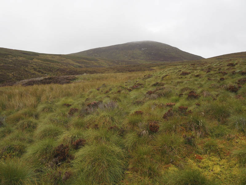
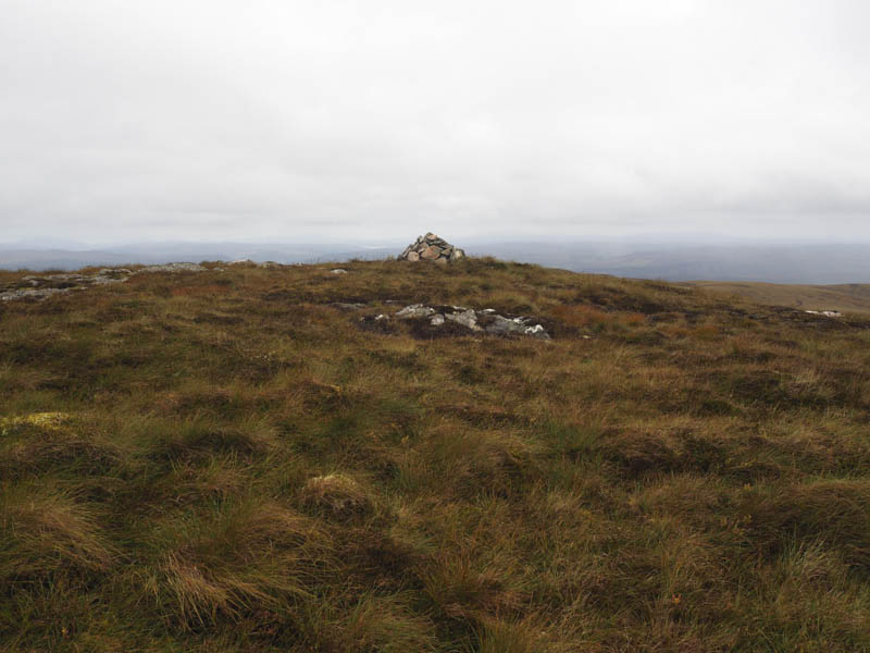
Higher up I crossed the stream and made my way onto the wide east ridge of Cnoc Muigh-bhlaraidh before climbing to the cairn marking the summit of this Hump.
The descent north-west was fairly steep but lower down there was more rough vegetation to work through. I crossed the col with Beinn Clach an Fheadain to the west of Loch Muigh-bhlaraidh and from there ascended this Tump.
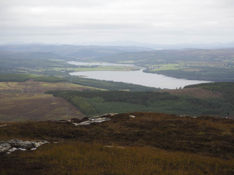
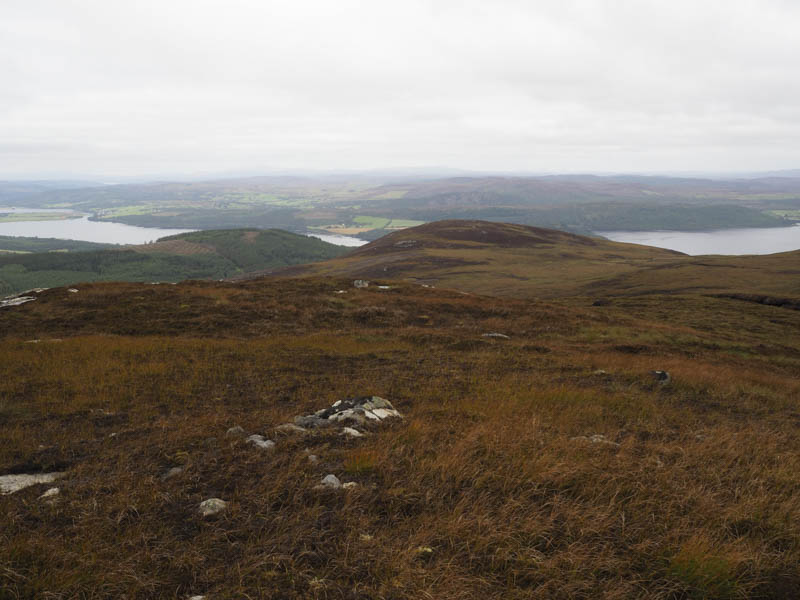
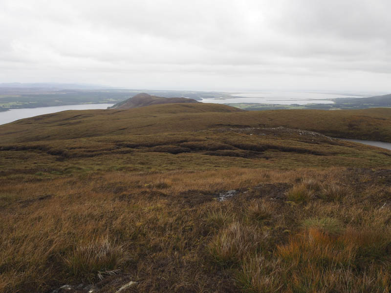
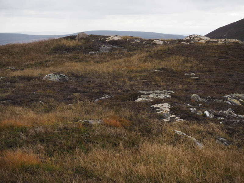
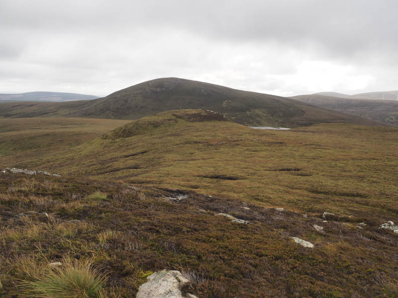
I then descended Beinn Clach an Fheadain’s south-east ridge to return to the start.
Cnoc an Liath-bhaid: I then drove further north on the B9176 Struie Road to just south of the Allt na Coraig. I then walked west round the south sides of A’ Chorag and Creag na Coraig and ascended the Tump, Cnoc an Liath-bhaid. The return took me to the north of Creag na Coraig and A’ Chorag.
Cnoc nan Gaimhnean: On returning south along the B9176 Struie Road I stopped off to climb this Tump. I left my car at the entrance to the track on the west side of the road just south of the Fieth Ruadh as forest vehicles were using the road on the east side. I crossed the road and walked along the track on the east side before leaving it and climbing Cnoc nan Gaimhnean. The return was by the ascent route.
- Total time – 4 hours.
- Total distance – 12.25 kilometres.
- Total height climbed – 655 metres.