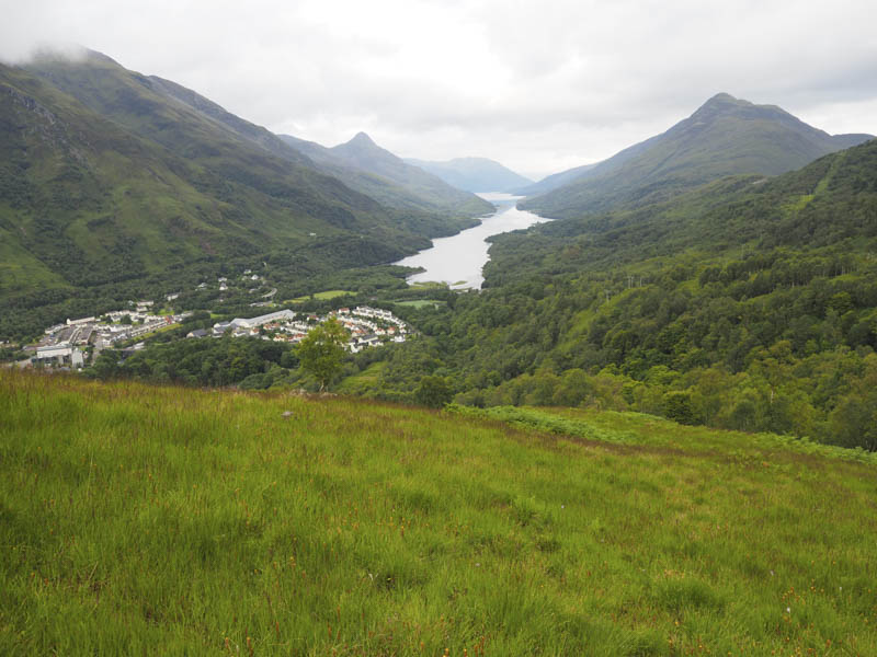
We left our vehicles in the Grey Mare’s Tail Car Park in Kinlochmore at the head of Loch Leven and walked up the path on the south-east side of a tributary of the Allt a’ Chumhainn where there were a number of paths through the trees some more worn and eroded than others. The path we used took us up through some long bracken eventually merging with others. The gradient eased and the path led onto the estate track than ran below the Mamores.
From there we briefly walked east along this track before leaving it losing a bit of height as we followed a path south-east and joined a new vehicle track that took over the new bridge across the Allt na h-Eilde. Beyond this crossing point the ground was recovering from being churned up during construction work but once round this area a rough path led us onto the south-west shoulder of Meall Beag.
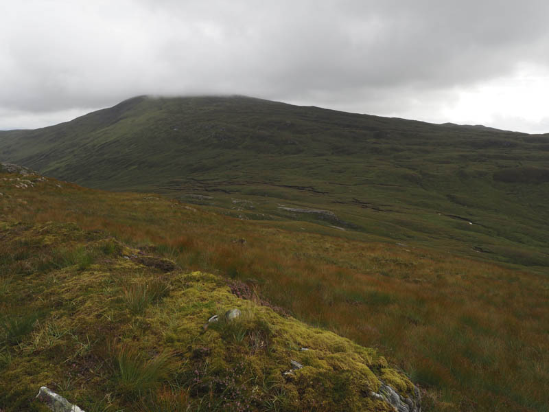
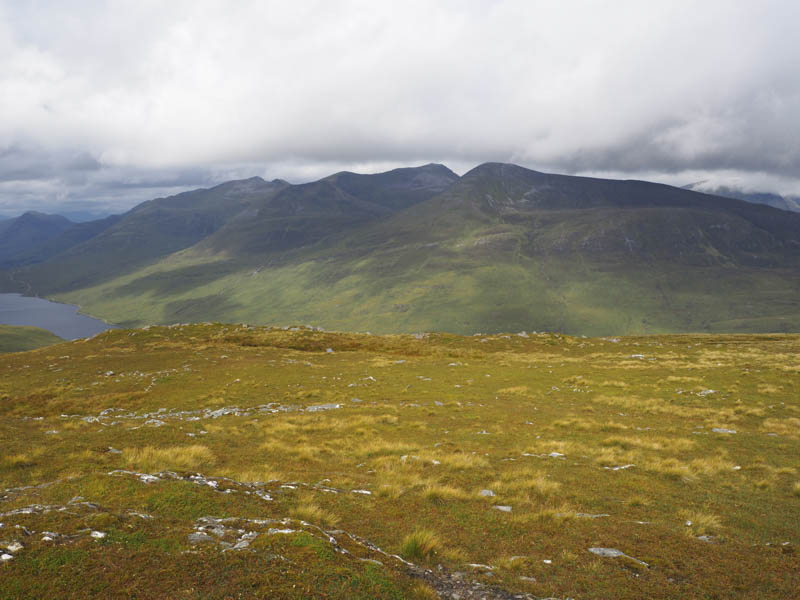
I left my fellow walkers here as they headed for the Graham, Beinn na Cloiche, as I had a slightly different plan. I climbed the Tump, Meall Beag, then from there descended east and climbed onto the south-west ridge of Glas Bheinn visiting the cairn and the nearby rock which was the highest point of this Corbett.
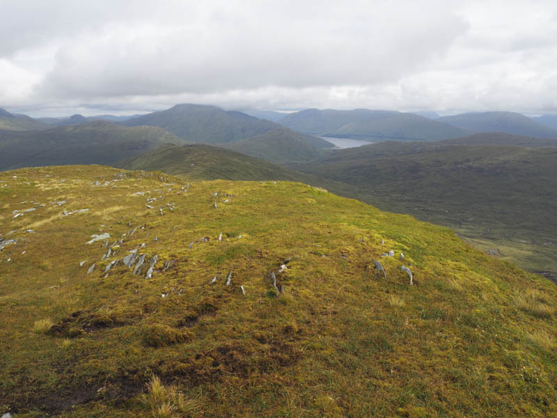
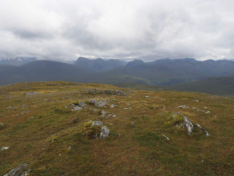
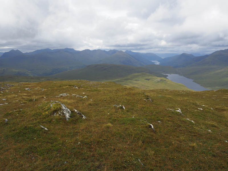
After a short break at this summit I headed off north to avoid Glas Bheinn’s rocky east face then turned east and descended to the col north of Lochan Tom Ailein. From there I made a gradual ascent of Beinn na Cloiche reaching the summit cairn a few minutes behind the Graham Baggers.
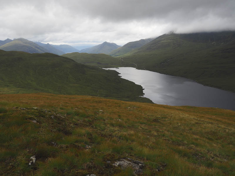
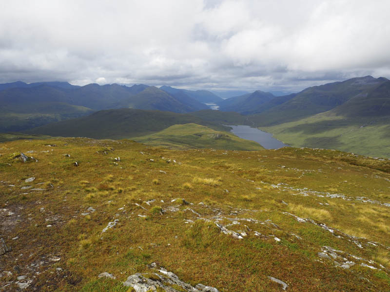
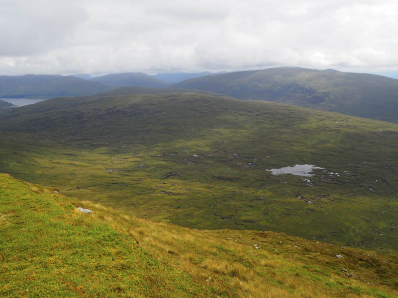
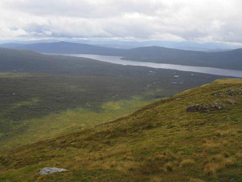
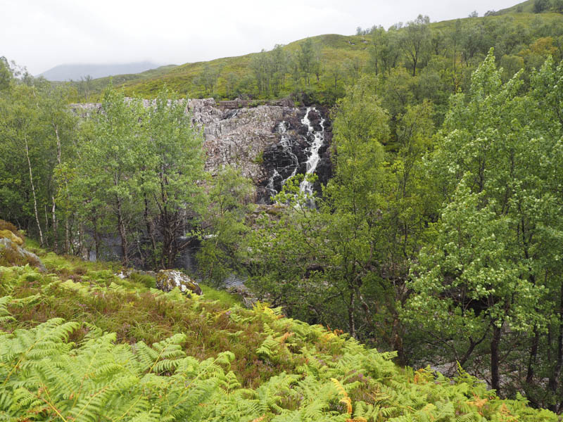
It was then a long descent south-west across pathless and in places rough terrain to reach the dam at the west end of Blackwater Reservoir. There had been the odd shower in the afternoon but it was raining steadily as we followed the rough path down the north side of the River Leven with a bit of protection from the surrounding trees. A couple of the bridges had fallen into disrepair but fortunately the water levels weren’t high.
After seven kilometres the path returned us to Kinlochmore.
- Time taken – 9.5 hours.
- Distance – 25 kilometres.
- Height climbed – 1210 metres.