Note – Due to a fault with the camera lens all photos are taken with a zoom lens.
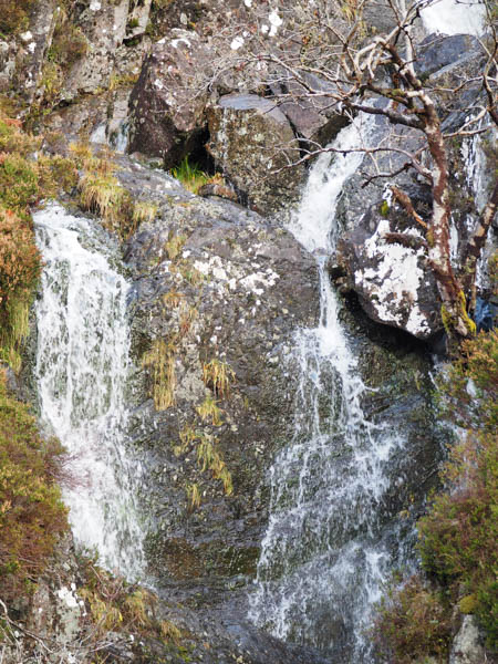
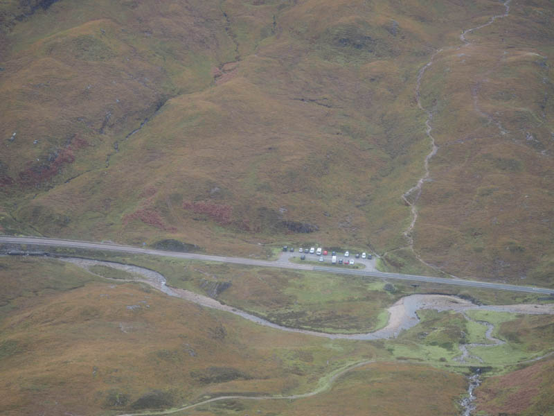
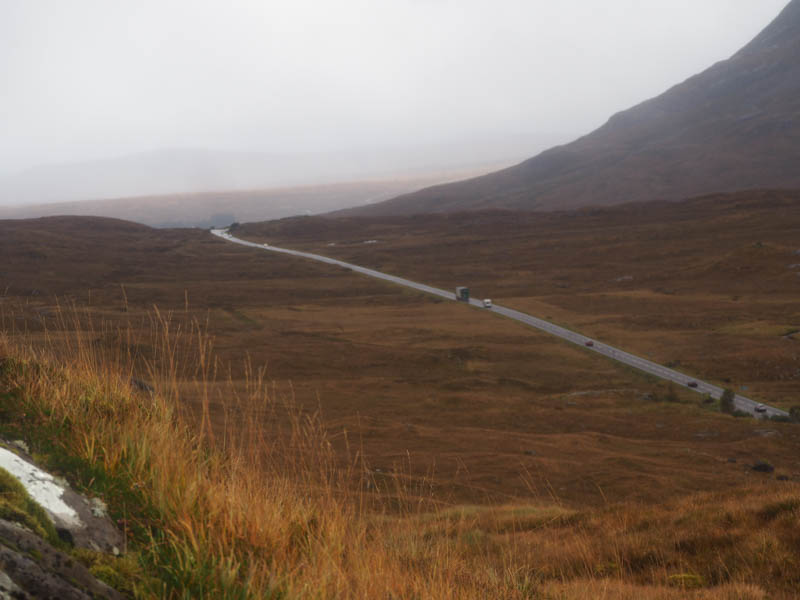
I left my vehicle in the car park on the south side of the A82, east of the Pass of Glencoe, usually used by those climbing Buachaille Etive Beag as well as some campervans. I crossed the road, went over some flat rough ground then the River Coe, easily forded, and onto the old military road walking west. Prior to the bridge over the Allt Coire Meannarclach I left the road and climbed up the east side of this stream passed some waterfalls and to a merging of streams.
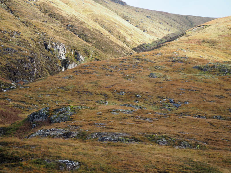
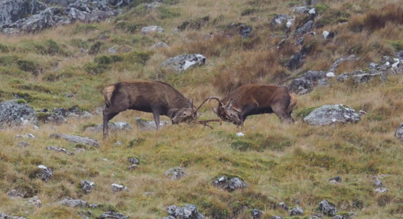
Here I crossed a couple of the streams then it was a steep climb north-west through heather, the gradient later easing as I approached Coire Meannarclach. I spotted some deer and heard the roaring of the stags. Through my camera lens I could see a couple of stags fighting. The hinds soon disappeared over the ridge and I presume the stags followed as I never saw them without the use of my camera.
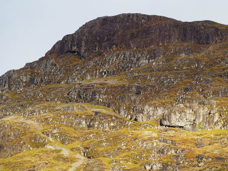
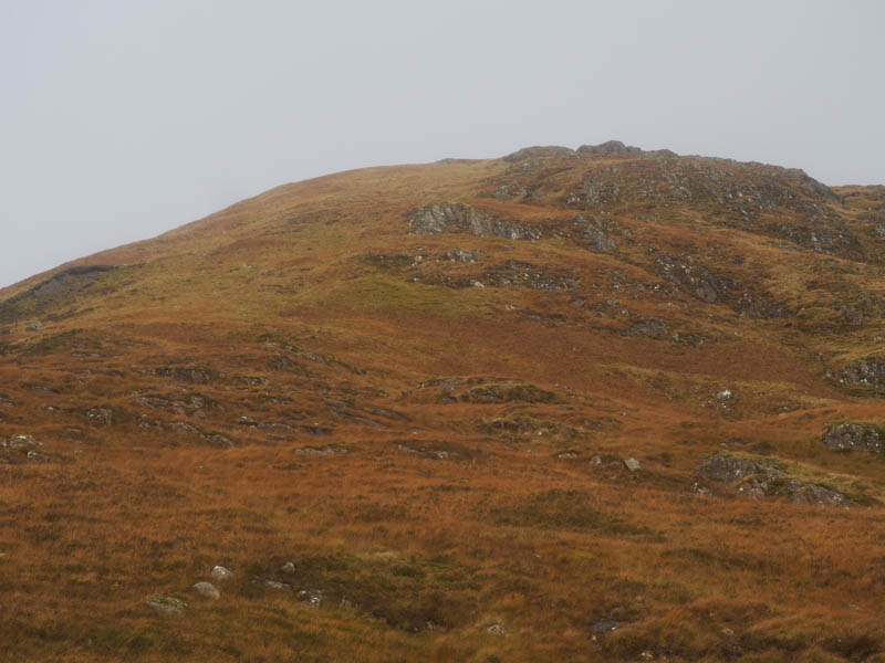
I continued through the corrie, mainly on grass with a few boulders, and onto the ridge at the point where it turned north-west. A descent north-west took me over stony ground then grass to the col with Sron Gharbh. I could hear the roaring of the stags in the corrie to the north but wasn’t able to spot them as visibility wasn’t that clear. From the col I climbed through more stony ground to the summit of the Corbett Top, Sron Gharbh, marked by a rock, there were a few.
There were no views due to low cloud and I returned to the col during a rain shower meeting a couple of runners and further along the ridge an American chap heading to Am Bodach having come up from The Devil’s Staircase. It was then an easy walk east then north-east along the ridge, later through some stony ground, onto A’ Chailleach. The highest point of this Corbett Top and Hump was marked by a cairn.
Still with no views due to the low cloud I descended south-east to the col with Sron a’Choire Odhair-bhig. Here I headed south down a wide grassy ridge then a bit lower down there were some crags, easily avoided, as I emerged from the low cloud. On approaching the east bank of the Allt Coire Meannarclach I followed the outward route back to the car park.
- Time taken – 4.75 hours.
- Distance – 8 kilometres.
- Height climbed – 890 metres.