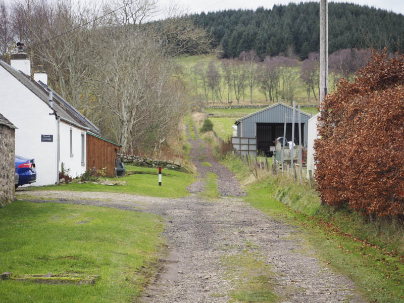
Balduff Hill – I parked beside Kilry Hall on the west side of the minor road at Dykehead, north of Alyth, and walked briefly south then west along a vehicle track to some gates where I joined the Cateran Trail.
I followed it south then south-west round Knaptam Hill on a gradual incline later loosing most of the height I had gained.
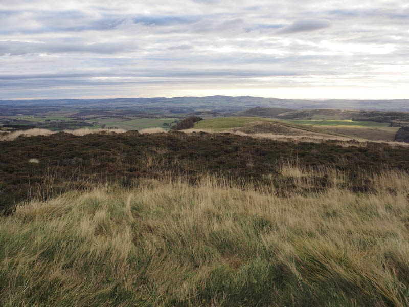
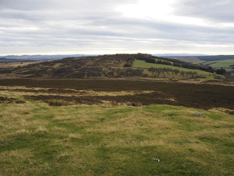
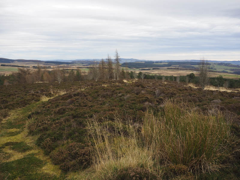
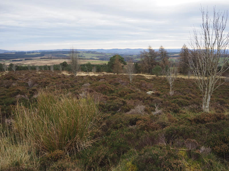
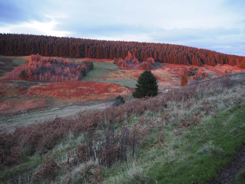
The Trail crossed a vehicle track and at this point I left it and walked west up this track along the side of the wood surrounding Knaptam Hill on an easy gradient with a steeper section before the track entered the wood. After a further few hundred metres I left this track, walked through the trees, crossed some old fences and a deer fence, into an area of young saplings and drainage channels making for awkward walking. There were also a few areas of grass and heather before I reached the trig point marking the summit of the Hump, Balduff Hill.
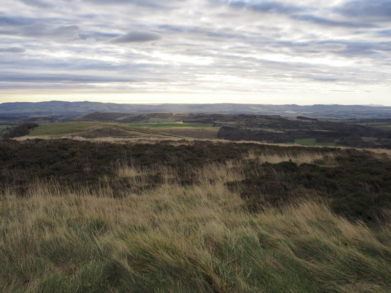
I descended south-east through the young plantation and drainage channels as well as some long grass and heather to a gate in the deer fence and into a field. I walked along its edge to the mature woodland and after following it south-east, re-joined the vehicle track and returned to Kilry Hall by the outward route.
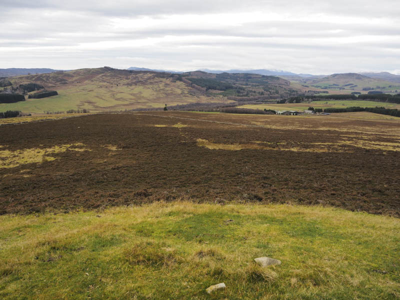
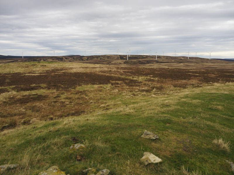
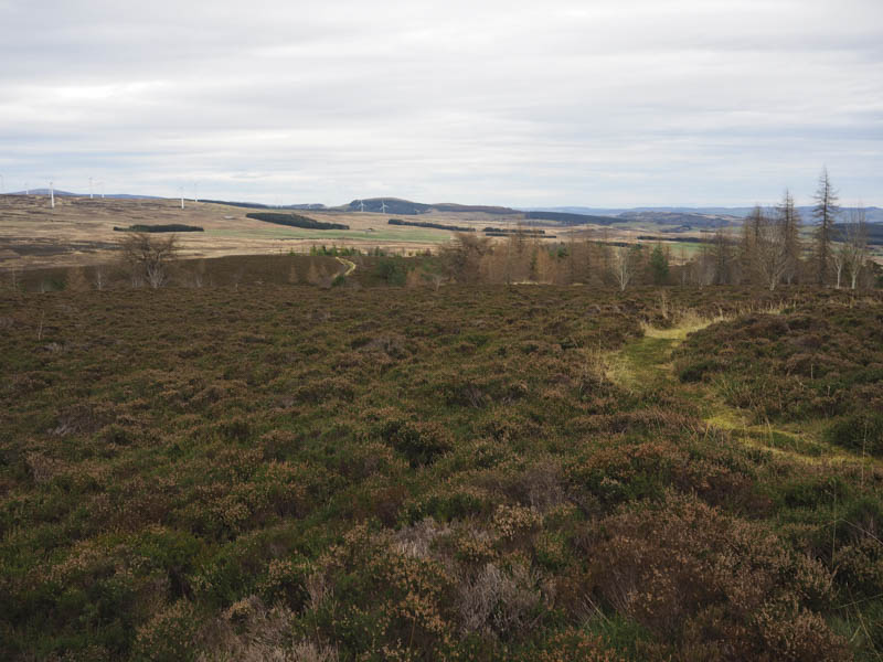
Drumderg – This Tump was located within the Drumderg Wind Farm, north-east of the Bridge of Cally, and accessed from a minor road with two entrances, the easterly one being the main route. I parked beside a gate at the west entrance and walked north then north-east up the now little used vehicle track, crossing a couple of the access tracks leading to wind turbines.
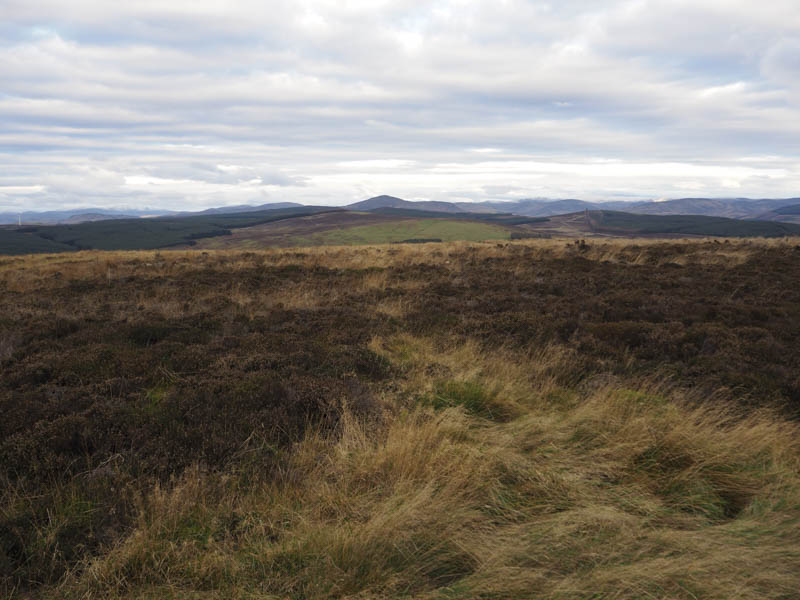
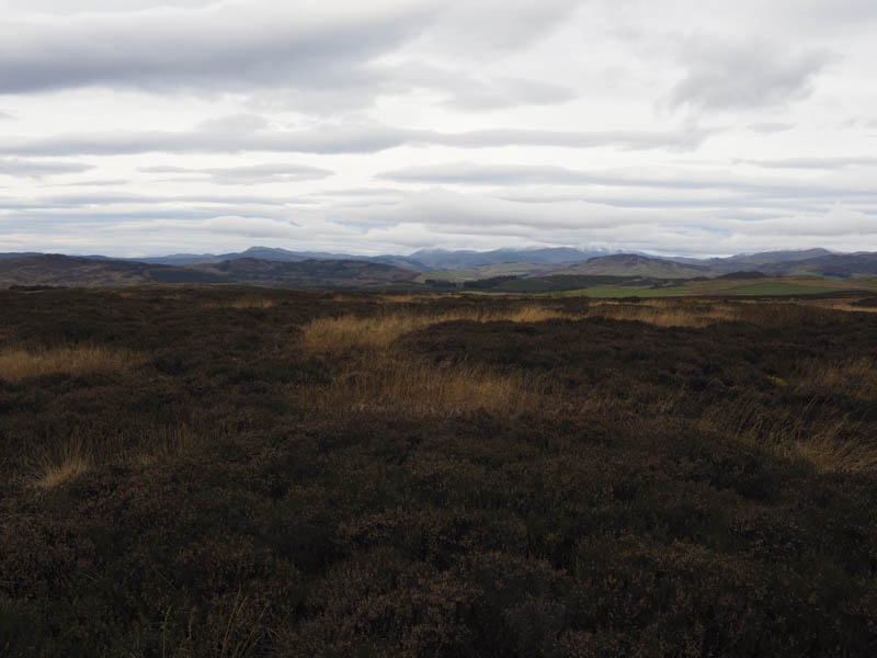
Higher up I briefly followed one of these access tracks before leaving it and crossing heather, grass and a stock fence to the highpoint of Drumderg which was located amongst the grass and heather.
The return was by the approach route.
Hill of Kingseat – After Drumderg I drove north-west along the minor road and parked beside the gate access for Corb Farm. I crossed the road, went through a stock gate and into a field of rough grazing. There were lots of animal trails, some of which I followed, then it was through heather to the obvious highpoint of the Tump, Hill of Kingseat, marked by a cairn.
I then reversed the route to return to my car.
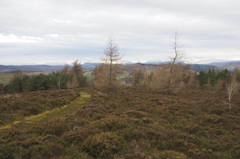
Hill of Ashmore – I left my car on the verge of the minor road at Netherton beside the start of the private road leading to Ashmore House, north of Bridge of Cally, and walked up this private road to just beyond the access road to Ashmore Farm. Here I passed through a pedestrian gate in a deer fence then it was a steep climb east up the edge of this field lined by trees. There were also several trees growing within the field.
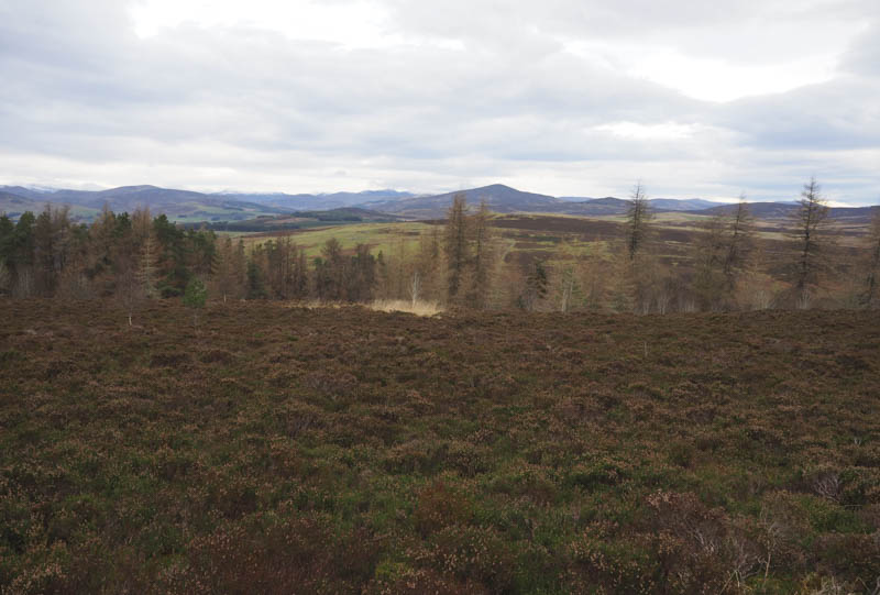
This took me into the wood via another pedestrian gate then I followed a well maintained grass and heather path before joining a vehicle track mainly covered in similar vegetation. The wood and track were also well looked after and several of the trees had identifying tags attached. The track led round the east side of Hill of Ashmore and here I left it and walked through long heather and grass to the cairn marking the summit of the Tump, Hill of Ashmore. If I had continued along the track for a few more metres I would have come across the path leading to the cairn.
I returned to the track using this path then headed back to Netherton by the outward route.
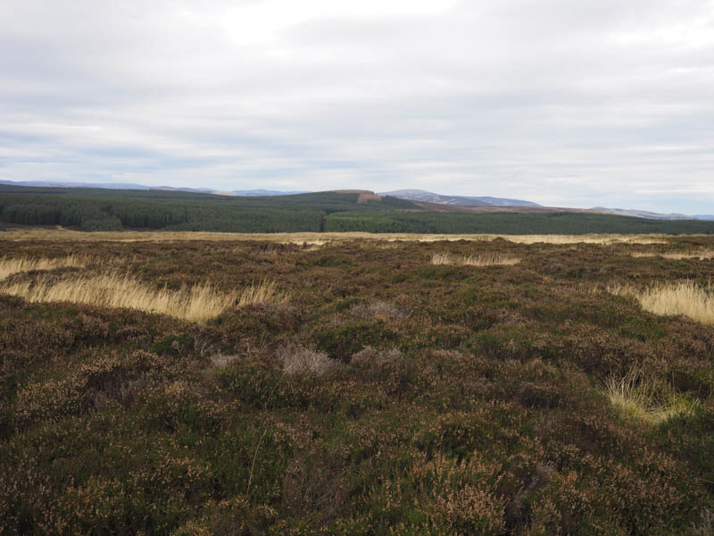
Kynballoch Hill and Broad Moss – I parked on the verge of the minor road north of Blairgowrie at the south-west side of Drimmie Wood and walked south-east then east through fields to the south of the wood following a muddy farm vehicle track. This took me to a couple of ponds and from there I climbed north through rough vegetation to a stock fence. Once over it there was some dead bracken to contend with before entering the wood. I pushed my way through the branches of the first couple of fir trees then progress was easier as the trees were better spaced. The summit area of the Tump, Kynballoch Hill, was reached although I couldn’t tell where the highest point was.
I returned to the ponds, went through a stock gate and walked up a recently re-surfaced track, to the east of Glour-o’er-him Wood. After another stock gate I crossed a grassy field and a stock fence topped with barbed wire, to gain the trig point then the grassy highpoint of the Tump, Broad Moss.
From there I descended north-west crossing a couple of stock fences, a field, and a stile to reach the rough vegetation surrounding Mill Burn.
Once over it I climbed back to the farm vehicle track and returned to my car.
- Total time taken – 6 hours.
- Total distance – 18.75 kilometres.
- Total height climbed – 810 metres.