This was the final day staying at Newtonmore so I decided to head for Glen Markie and climb a couple of Corbett Tops. I left my car at the start of the vehicle track leading to the glen and below the Spey Dam, accessed along a single track road from Laggan on the A86 Newtonmore to Spean Bridge Road. I then walked north along this track to the east of the Markie Burn passing through a few gates including two deer gates enclosing a new native woodland of over 50 hectares.
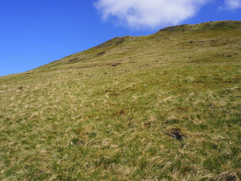
On reaching and crossing the Allt Tarsuinn Mor I left the track and headed north-east. It was a steady climb through heather, using some grassy rakes, and to the north-west of the Corbett Top, Blargie Craig which I climbed earlier in the week.
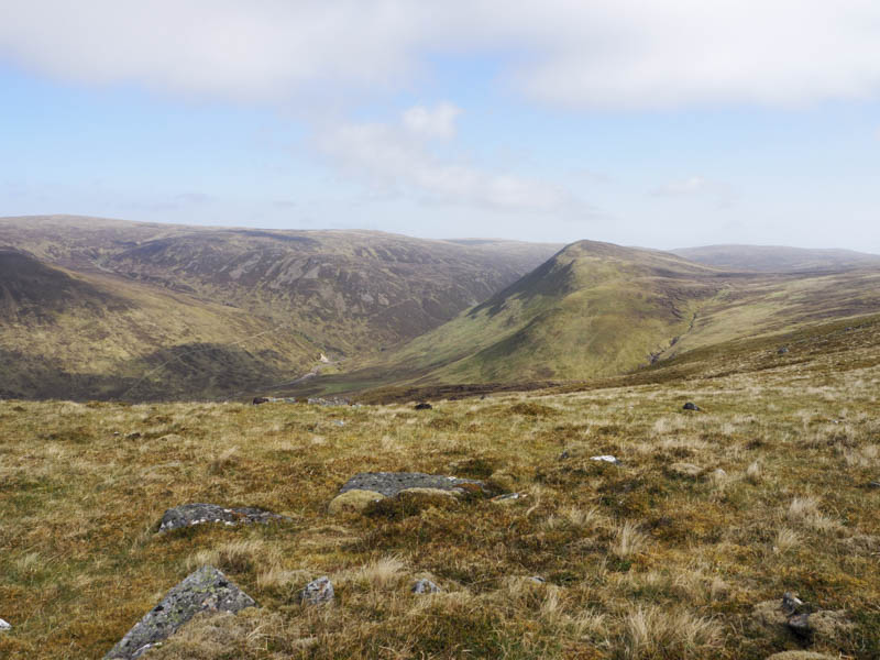
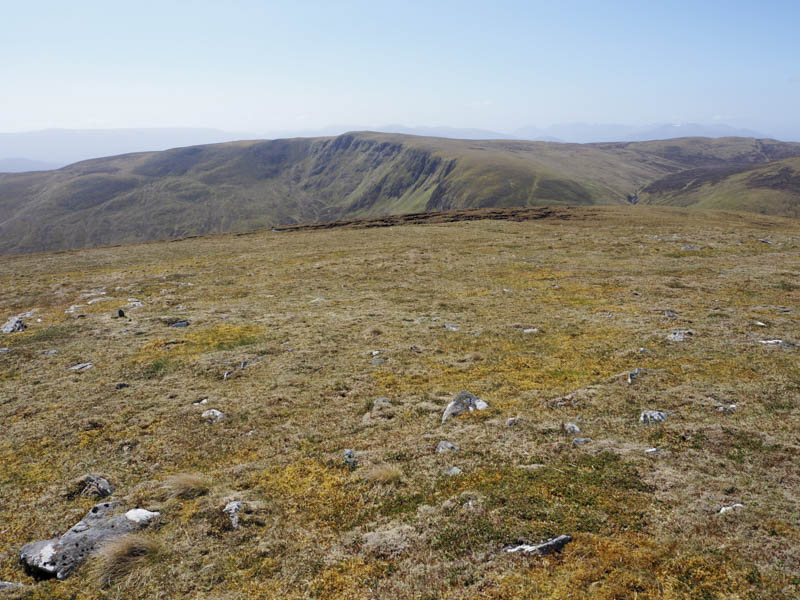
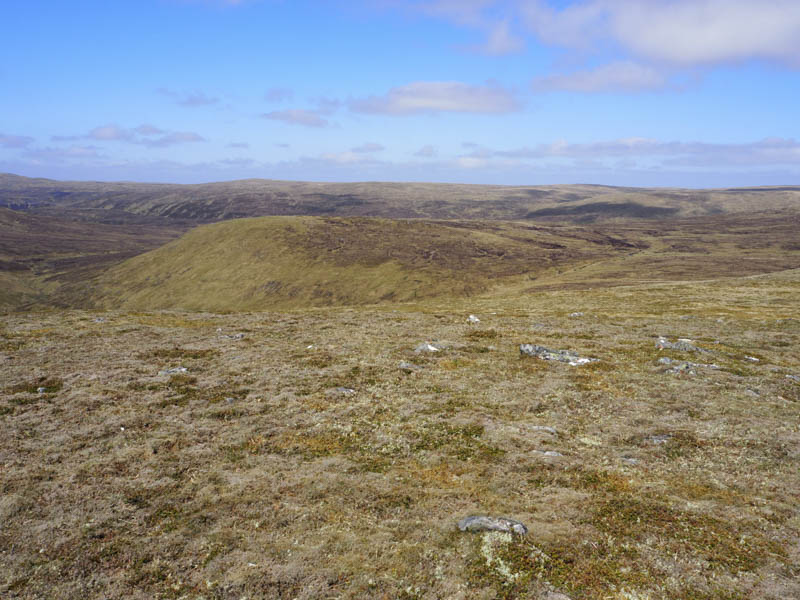
Higher up I followed a stock fence then crossed it onto the south-west ridge of Beinn a’ Chrasgain and to the summit of this Corbett Top marked by a cairn.
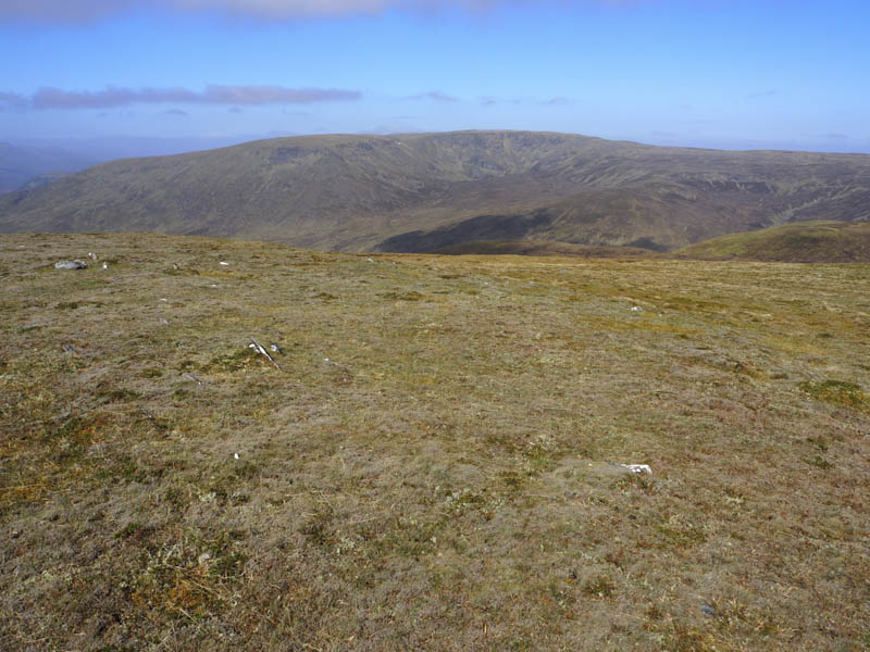
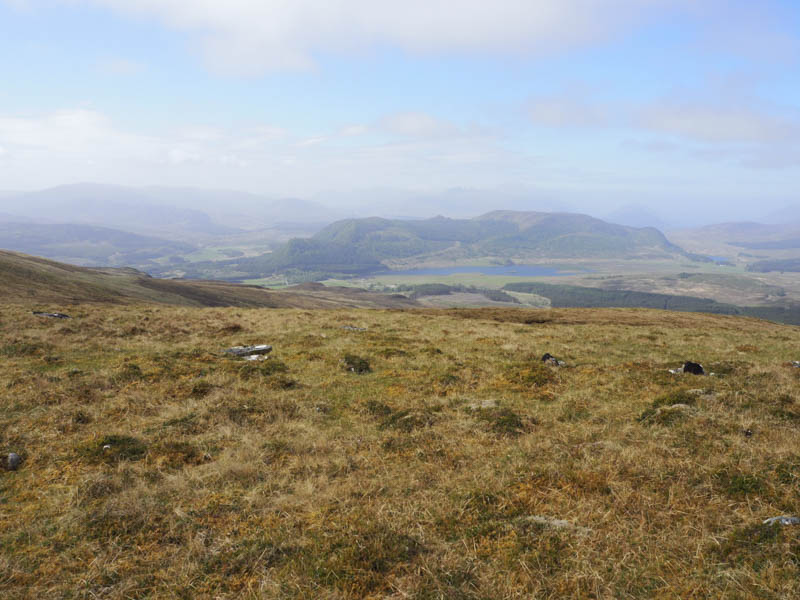
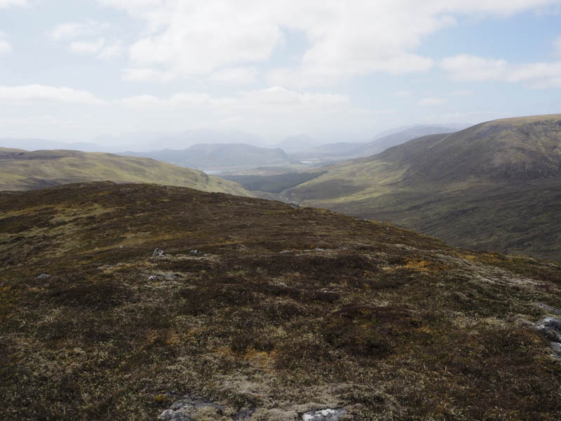
I sat at the summit for a while looking across to Carn an Leth-choin and with fine weather, although there was a cold wind, decided to include this hill. I descended north then north-east to cross the Uisge Dubh then climbed fairly steeply south-east onto the south-west ridge of Carn an Leth-choin. Prior to reaching the summit a vehicle track was crossed. The highest point of this Corbett Top was a small outcrop thirty metres north of the cairn.
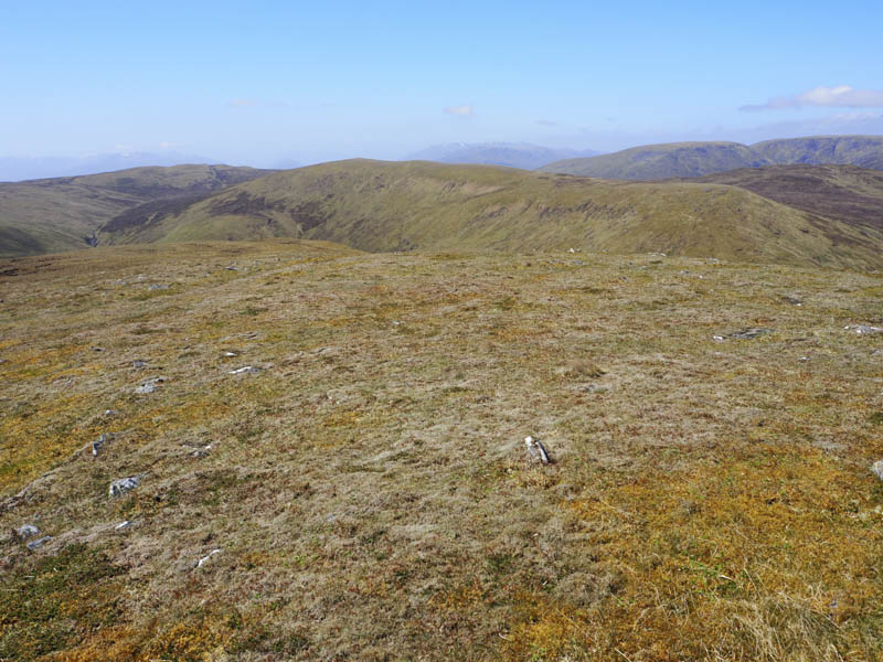
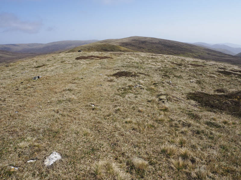
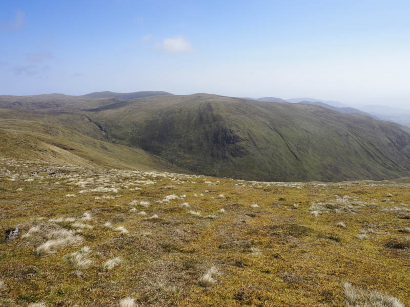
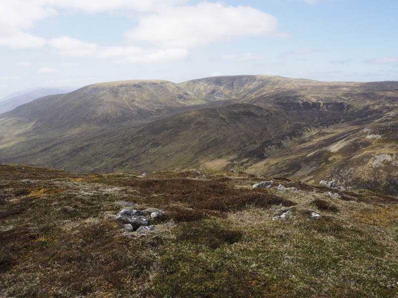
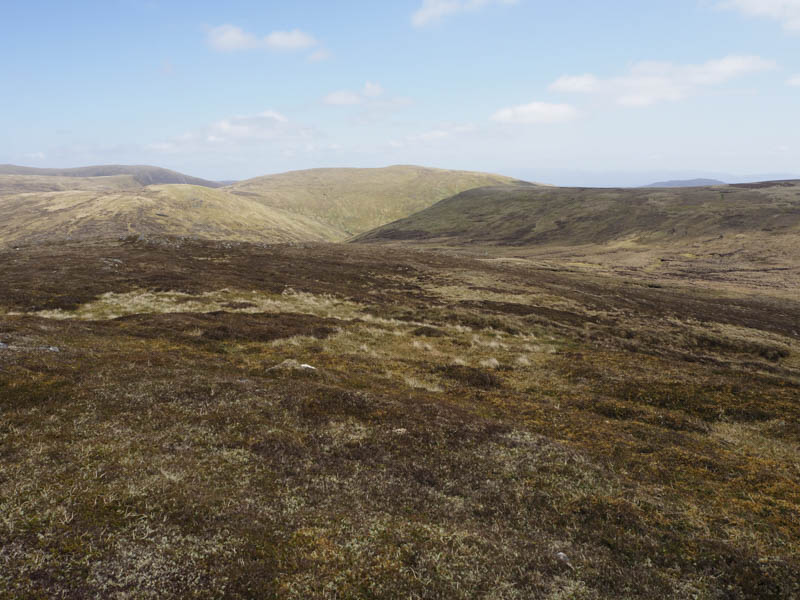
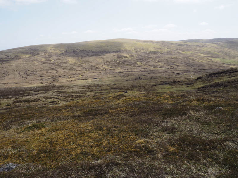
The descent was in a north-westerly direction and lower down there were some peat hags before reaching a tributary of the Uisge Dubh. Once across it there were a few more peat hags as I climbed the Sub Simm, Meallan Dubh. The highpoint was a vegetated outcrop.
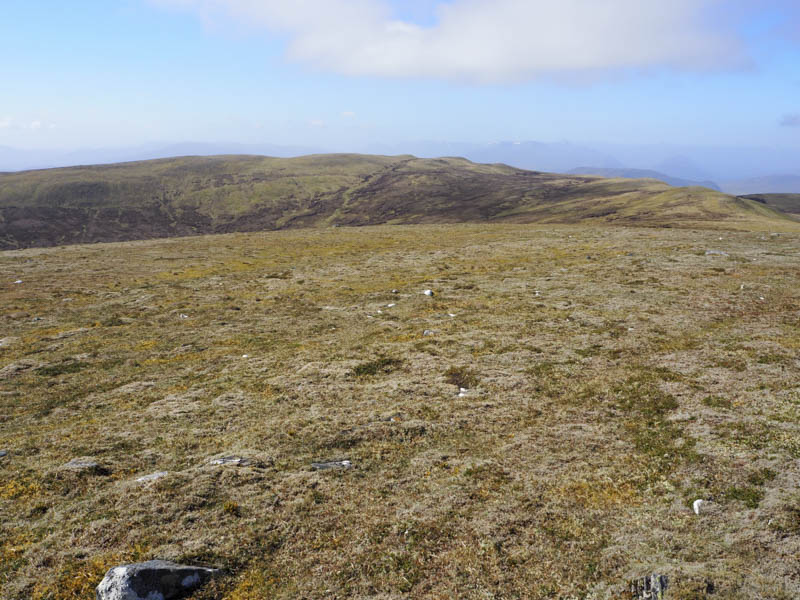
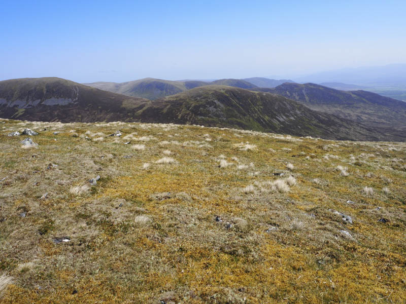
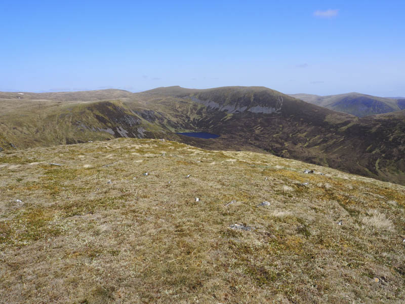
From there I descended south-west through more peat hags especially in the vicinity of the Uisge Dubh. Once on the other side of this stream there were more peat hags then it was rough going as I headed onto the north ridge and to the summit of Leacann Chorrach. A small pile of rubble was supposed to be the highest point of this Corbett Top but I visited a few possibilities.
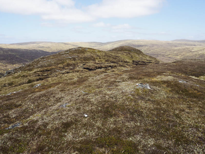
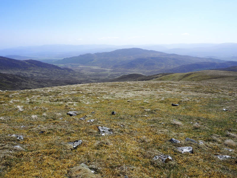
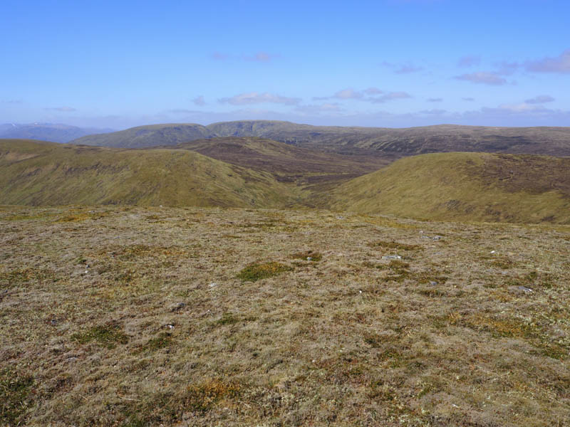
I then descended south and located a gap in the cliffs. This was followed by a steep descent on grass and moss before the gradient eased. Lower down I crossed the Allt Chuimeanaich and walked along an old fence, rough and boggy here, to reach the vehicle track in Glen Markie.
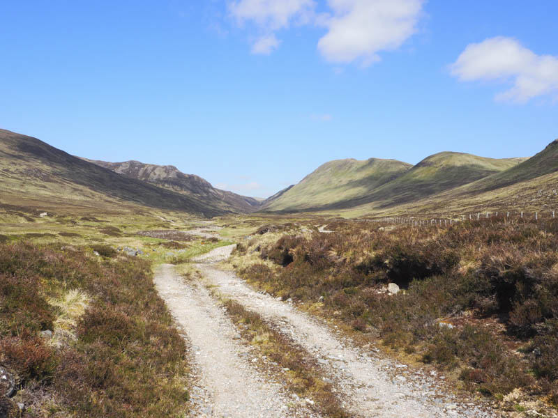
The track then led back to the point I left it earlier that day and the start.
- Time taken – 7 hours.
- Distance – 20.5 kilometres.
- Height climbed – 1005 metres.