I was staying in Edinburgh with friends and from there we headed to New Cumnock in East Ayrshire, located on the A76 Kilmarnock to Dumfries Road, then south up Glen Afton to the access road for Blackcraig Farm. There was parking for a few vehicles west of the bridge over the Afton Water.
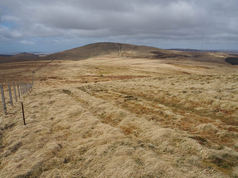
It was windy as we set off across the bridge and on towards the farm passing through a stock gate to the north of the buildings. The track then continued east on an easy gradient to reach a stock gate and fence on Quinton Knowe.
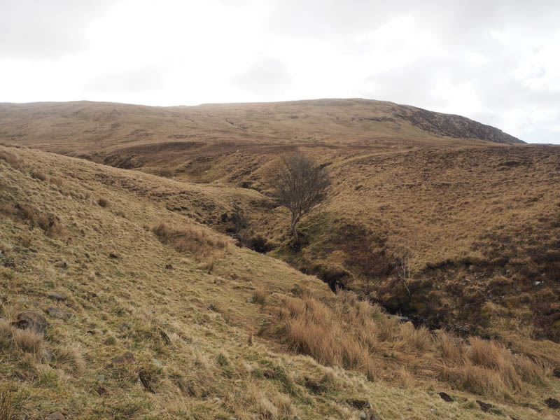
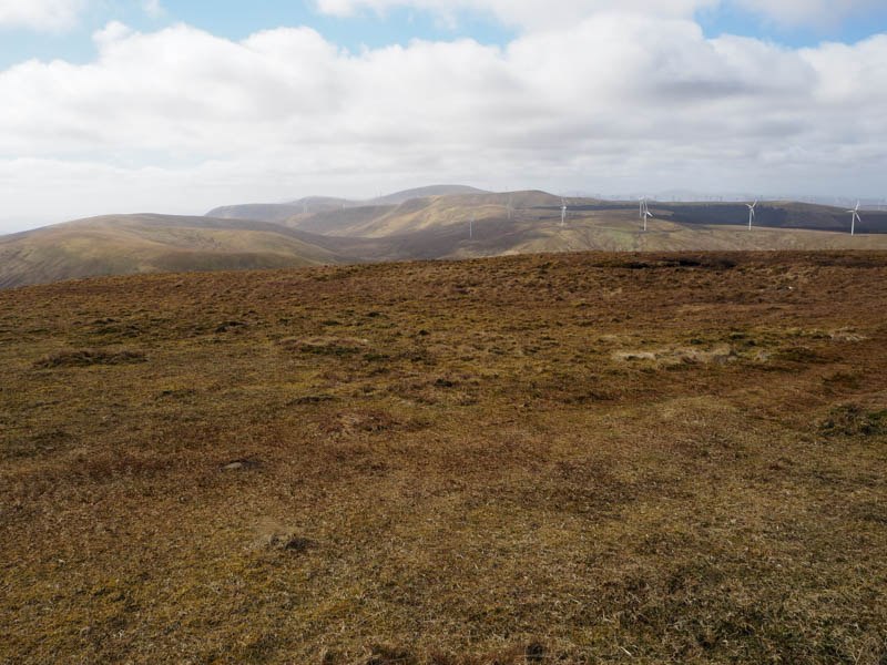
Here we left the track and followed the fence SSW across some boggy ground buffeted by a strong wind.
There were a few steeper sections as we followed the fence eventually leaving it and heading to the summit of the Graham, Blackcraig Hill, marked by a cairn. The nearby trig point was lower.
It was too windy to hang around here, so we descended SSE on a grassy/mossy path beside a stock fence. The fencing had recently been replaced but at the col with Blacklorg Hill the work was incomplete and the area was a bit wet and boggy having been used by ATV s.
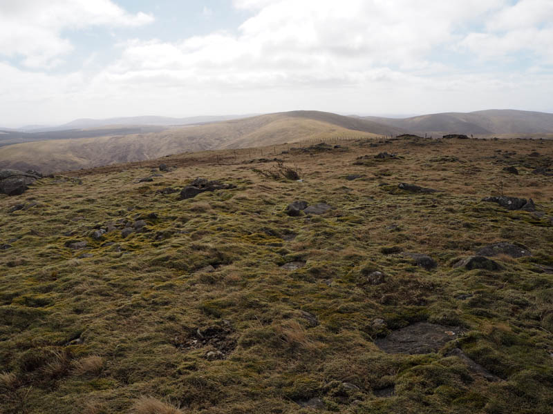
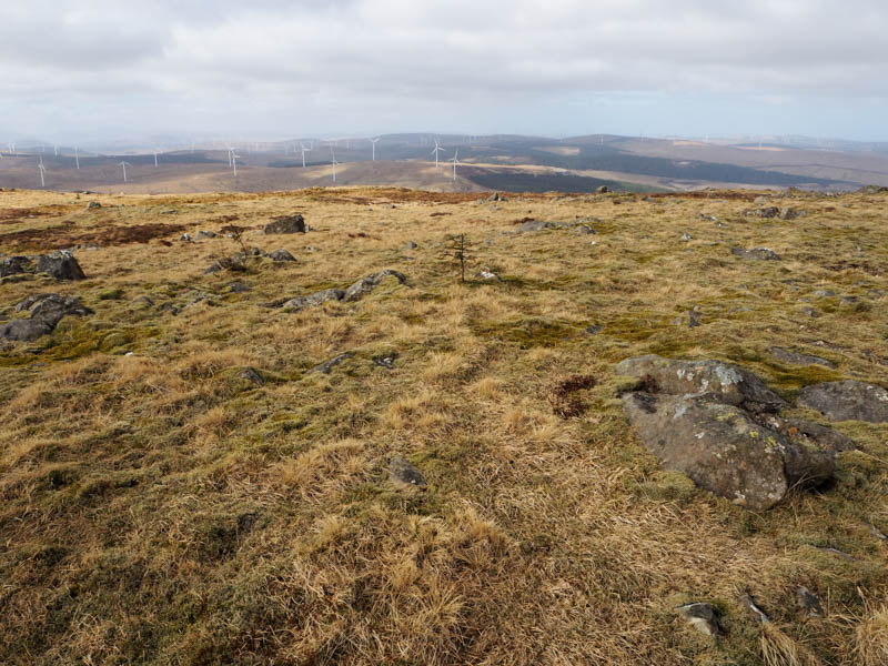
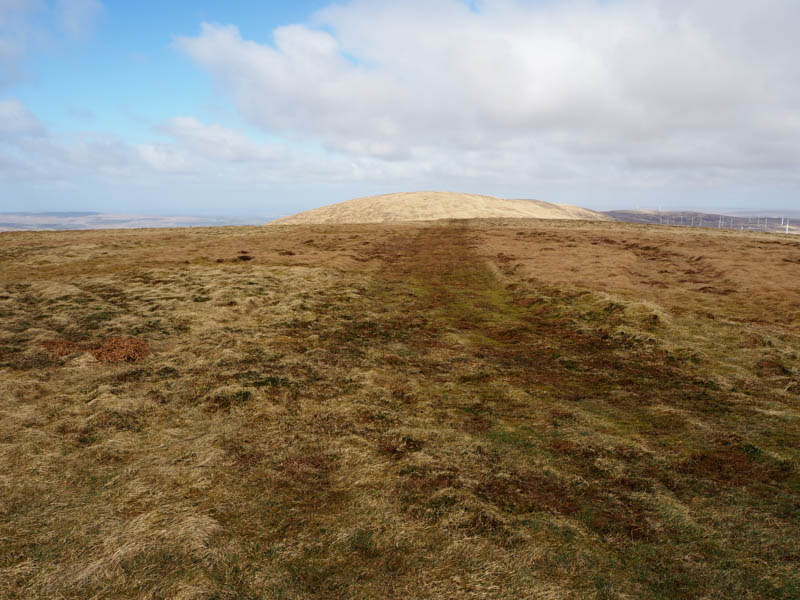
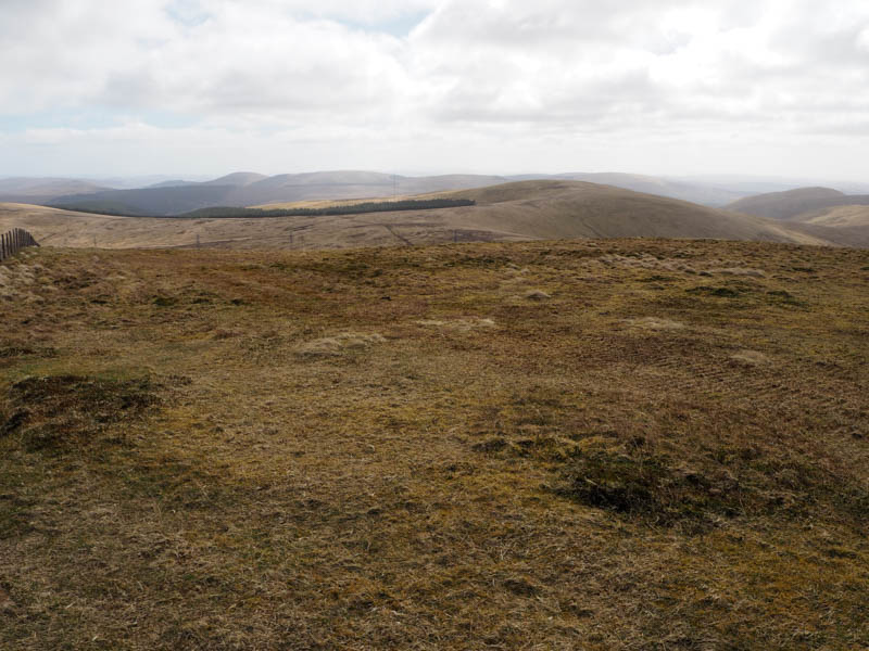
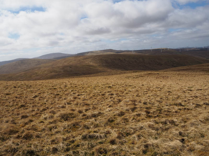
Beyond the boggy section the grassy path resumed on an easy gradient, the fence later turning east, but we continued onto Greenlorg Hill and to the summit of the Graham Top and Hump, Blacklorg Hill. The highest point was marked by a cairn at a junction of fences.
We crossed one of the fences and descended SSE along the side of the fence to the col with Meikledodd Hill, there were traces of a path, then climbed this Graham Top. The stock fence had to be crossed to reach the highest point which was marked by a wooden stake within some rough vegetation.
After lunch trying to shelter from the wind, we returned to Blacklorg Hill and from there descended NNW, slightly to the west of our initial approach route to this hill. There were some ATV tracks amongst the grass but they came to an end before a tributary of the Craig Burn.
This tributary was crossed then a deer fence was followed before continuing the descent north-west across rough ground with some boulders.
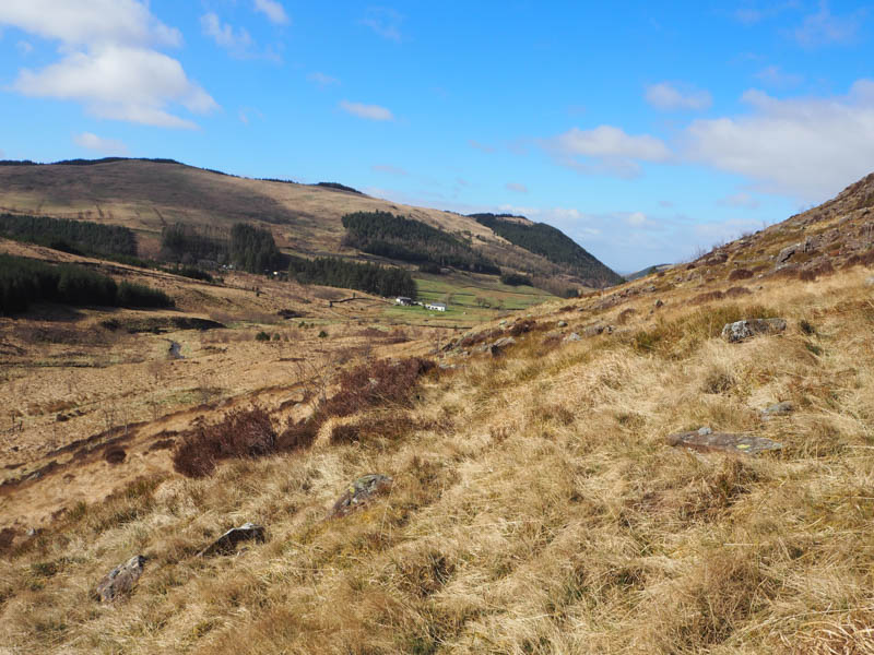
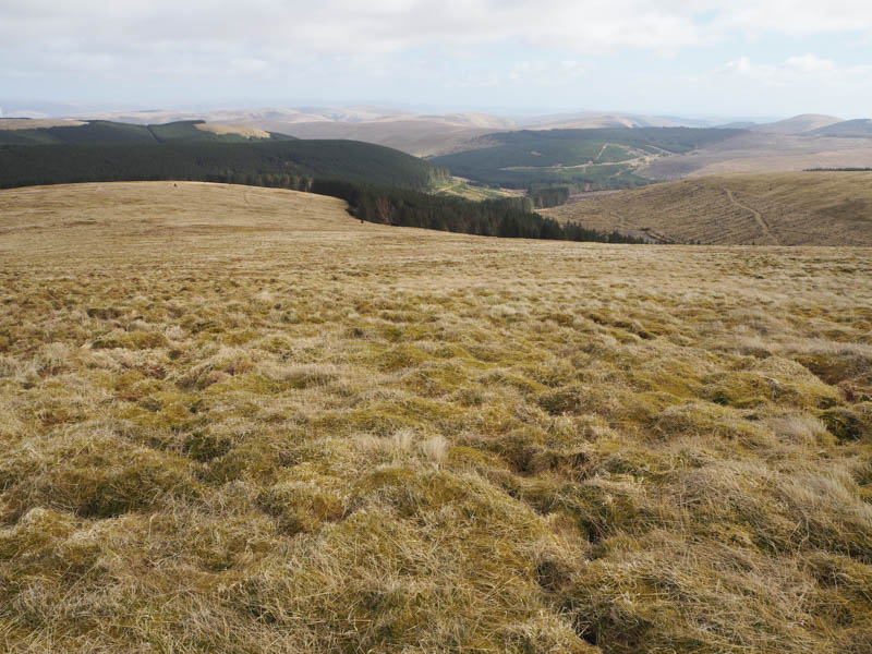
Lower down there were a few stock fences topped with barbed wire, some fence posts were loose or rotten. The bridge over the Craig Water was reached, a few of the planks had snapped, and from there we joined the vehicle track to Craigdarroch followed by a road walk back to the start. (There is a vehicle track on the hillside of Craigbraneoch Rig, well above the Craig Burn, which would make an easier descent.)
- Time taken – 6 hours.
- Distance – 15.75 kilometres.
- Height climbed – 750 metres.