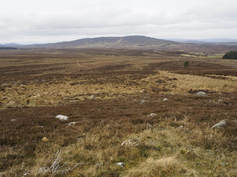
I parked at the edge and start of the access track leading to the old Dava Station, located on the east side of the A940 Grantown to Forres Road immediately north-east of its junction with the A939 road to Nairn, and walked towards the old station, this being part of the Dava Way.
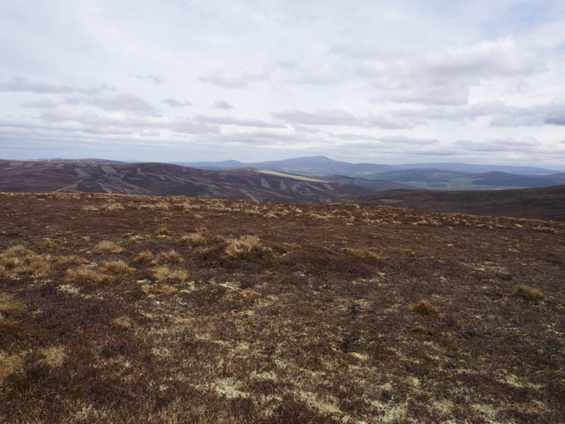
After the pedestrian and stock gates I left the Dava Way and walked north-east then east along a vehicle track, below a communications tower and Carn Biorach, to the deserted farm at Aittendow.
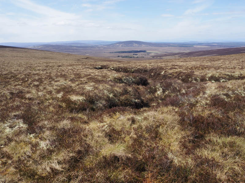
Once through a gate in a stock fence the track carried on east across the hillside, where sheep and lambs grazed, to reach a second gate.
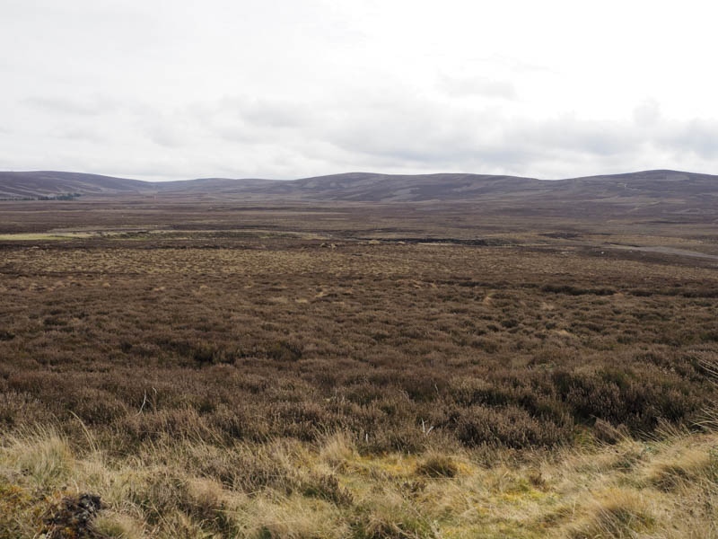
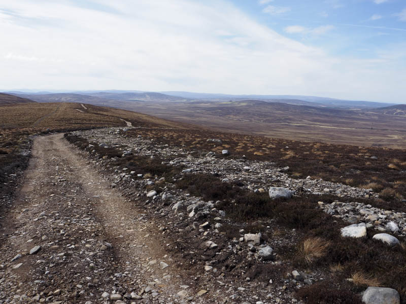
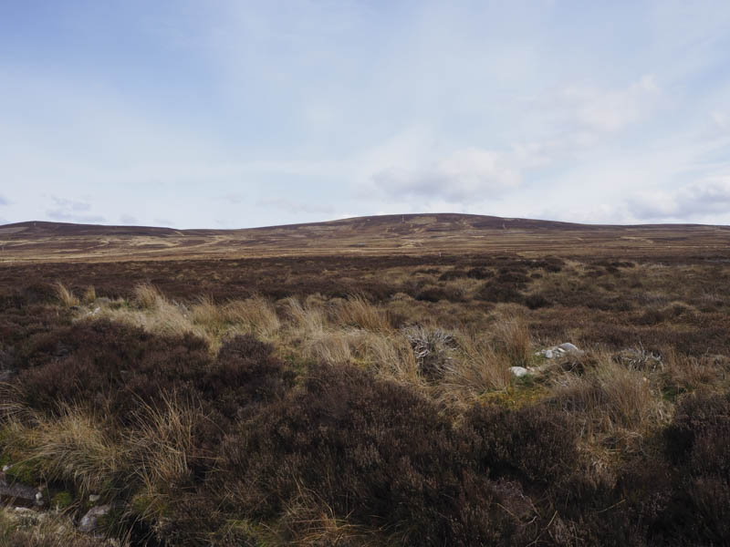
The track continued to lose height and immediately before the Outrack Burn turned sharply south descending to the Allt Bog na Fiodhaig and away from a direct approach to my initial hill. Once across this burn, there were a few stones to assist in the crossing, a slight rise led to a junction of tracks (NJ047382) with an adjacent unlocked shooters hut where I took shelter from the windy conditions for a coffee break.
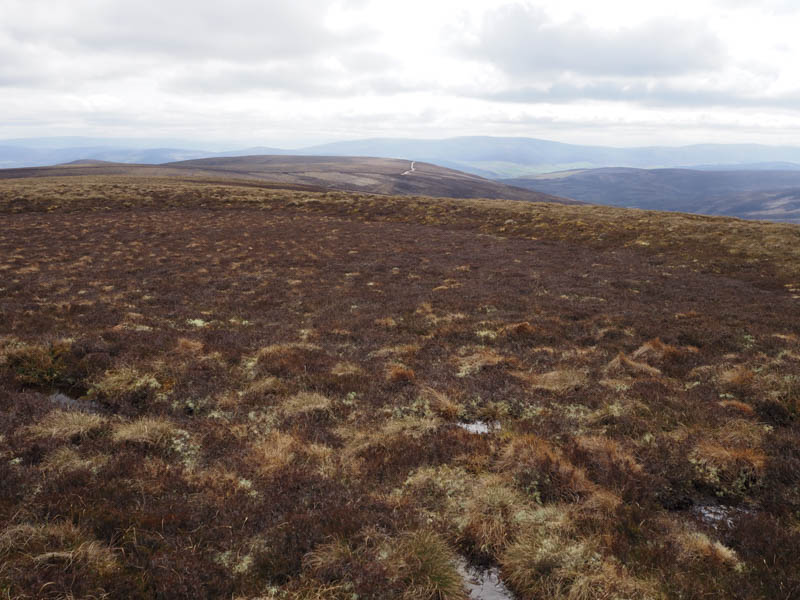
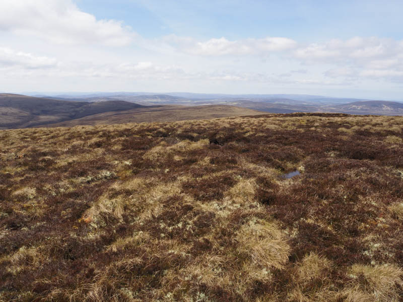
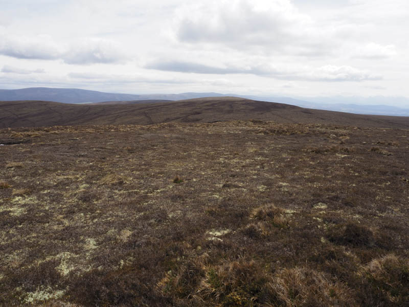
Afterwards I walked north-east along the vehicle track steadily gaining height to eventually reach the summit of the Sub Tump, Carn Gharbh-baid, the highpoint was a small mossy, heathery knoll.
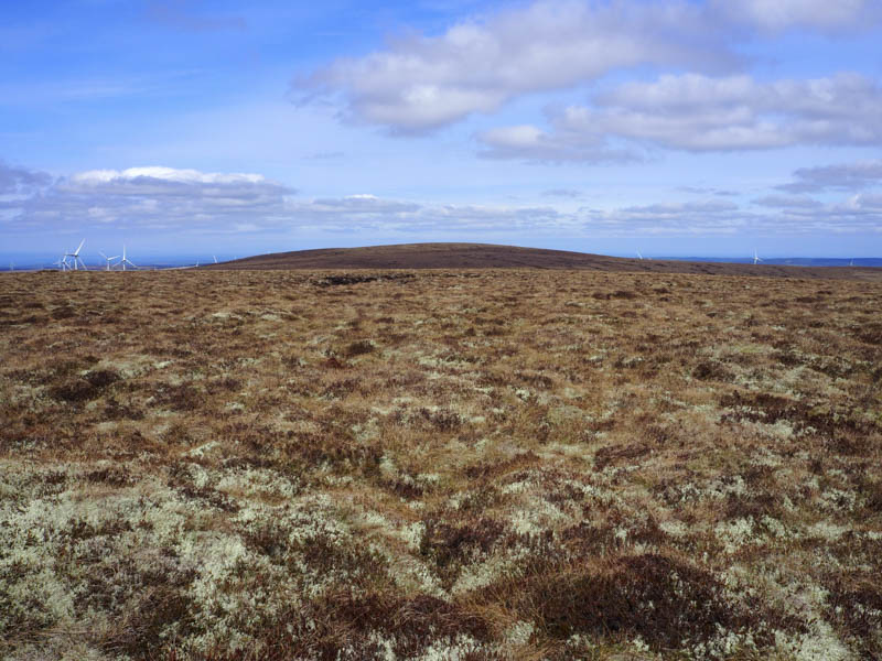
The track came to an end beside a hut which was lying in pieces possibly destroyed by the wind. I followed a stock fence descending north-east through some rough and boggy ground then I gained a bit of height before crossing the fence and climbing through some more rough vegetation onto the summit of the Hump, Larig Hill. Despite wandering around here the highest point wasn’t obvious.
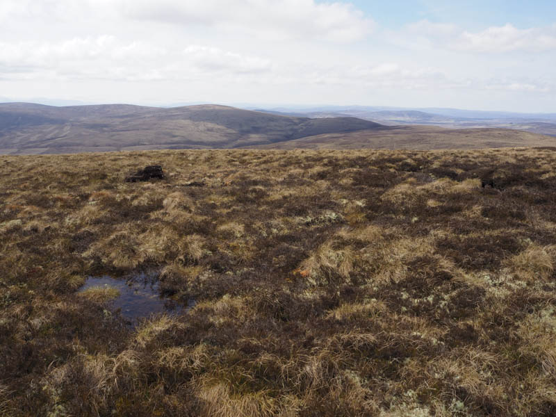
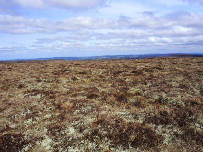
I descended north back to the fence and followed it for a short distance until it changed direction then headed north-east through some tussocky ground to the summit of the Tump, Carn Dearg. The highpoint was a mixture of grass, moss and heather.
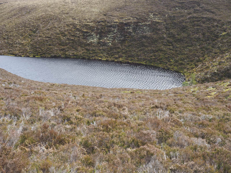
I returned to the stock fence and to Carn Gharbh-baid then to above Black Loch which couldn’t be seen from the track.
Here I passed through a stock gate and descended steeply through long heather to cross some boggy ground at the outflow of the Black Loch.
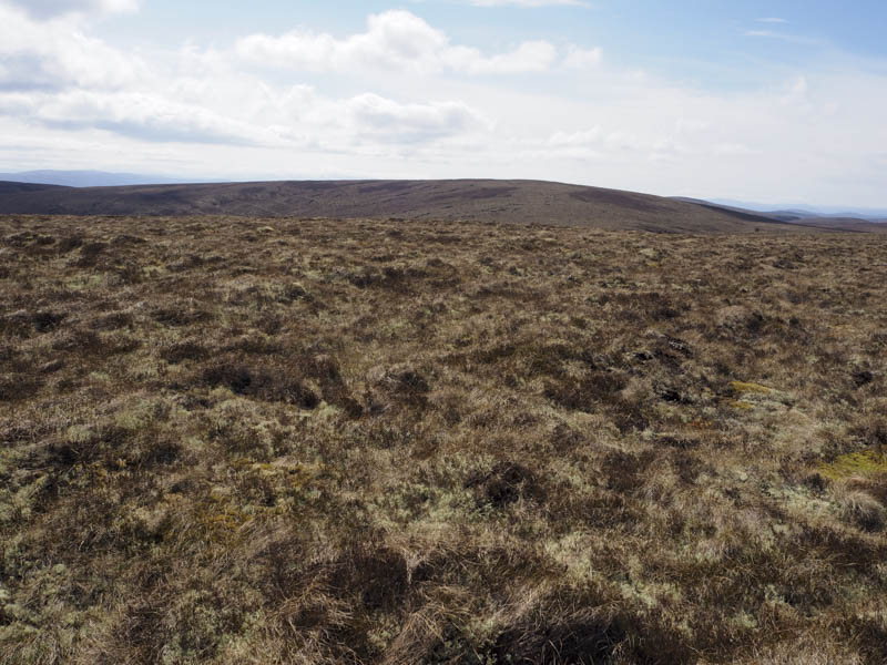
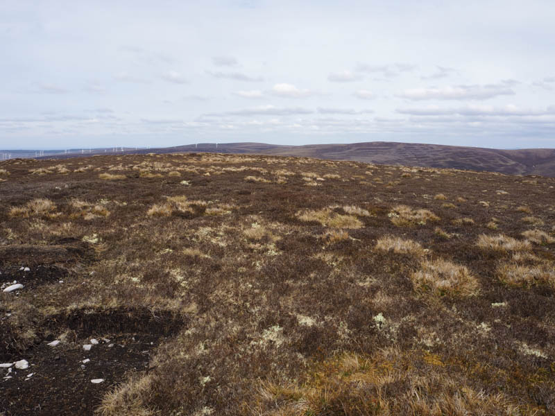
This was followed by a steep then steady climb through more rough terrain to reach the summit of the Tump, Carn Ruighe an Uain, where again the highpoint was some grass, moss and heather.
It was then time to head back to the start so I passed through a stock gate and descended west to join a grassy, mossy heathery track, boggy in places especially lower down, which appeared to be used to access the nearby shooting butts. On reaching the vehicle track north-east of the shooters hut I retraced the outward route back to my car.
- Time taken – 7.25 hours.
- Distance – 26.5 kilometres.
- Height climbed – 655 metres.