Carn Dubh, Carn Geal, Meall Breac and Creag Spardain – Parked at the edge of an extended passing place on south side of the A924 Pitlochry to Kirkmichael Road, east of the ruin at Badyo, (NN986614) crossed the road and walked north up a grassy vehicle track.
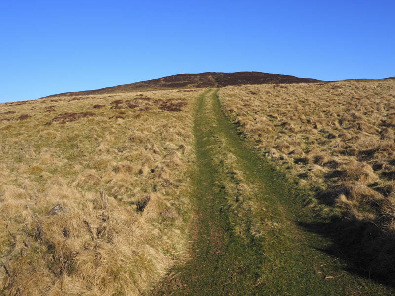
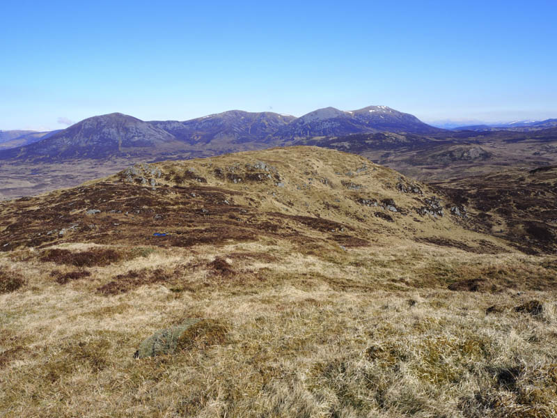
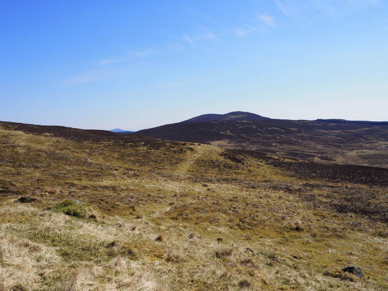
The track soon deteriorated to wet and muddy and further on it disappeared to be replaced by several animal trails. Some of these trails were used to gain the east ridge of Carn Dubh before heading to its summit. The highest point of this Tump was a rock marked by a cairn.
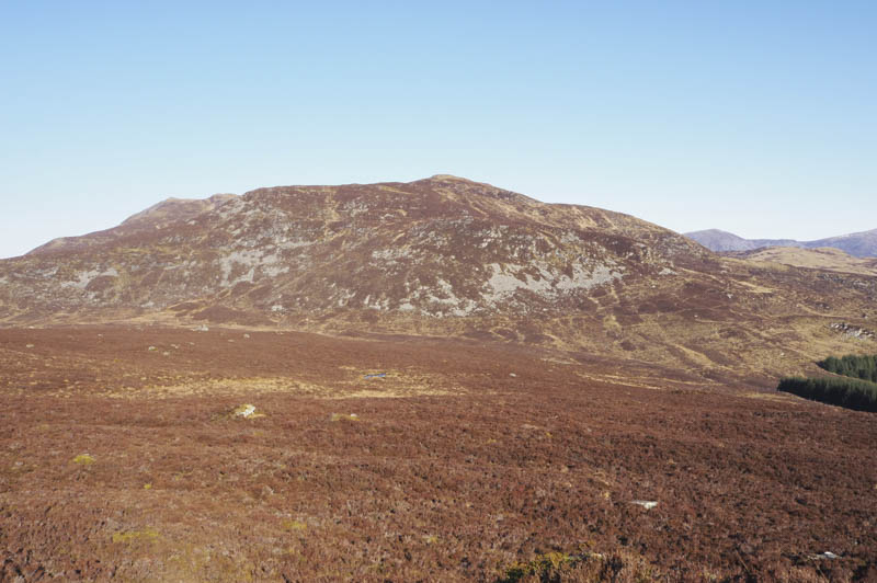
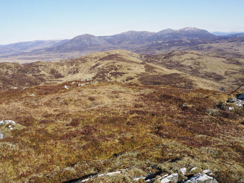
The descent north-west was through some longish heather disturbing a large herd of deer. I crossed an old stone dyke then some wet ground and onto Carn Geal following the deer that were now strung out over a large area.
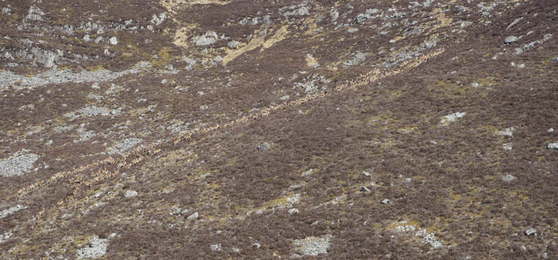
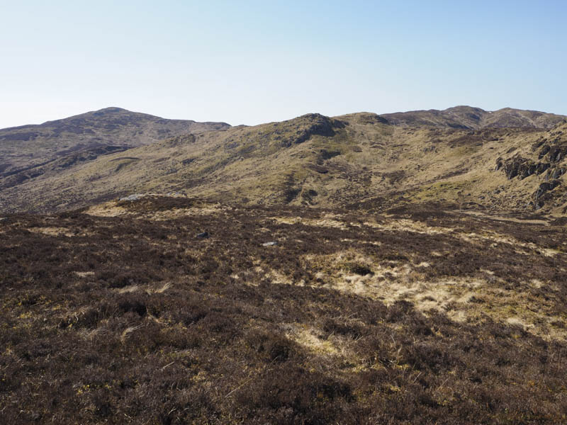
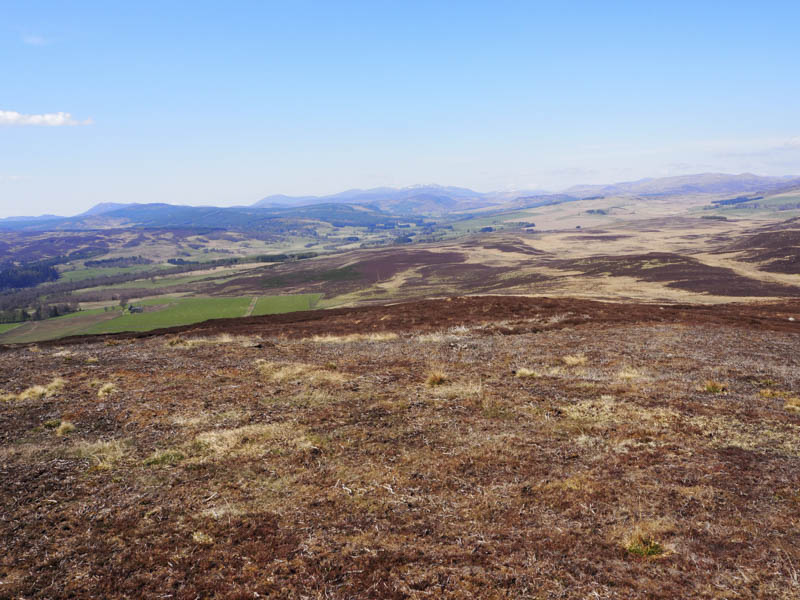
It was a steep ascent through heather trying to avoid the numerous boulders to reach the south-east ridge then onto the summit of this Corbett Top, marked by a rock. I also visited another rock to the south-west which apparently may have been as high. The deer had disappeared.
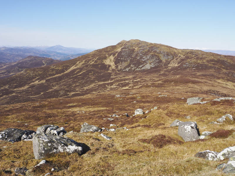
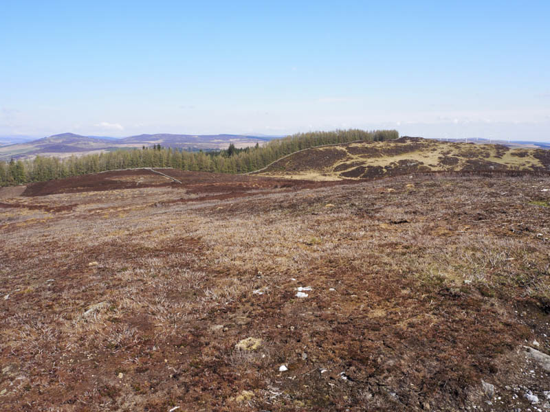
After a break sheltering from a strong cold wind I descended west towards Ben Vrackie before swinging round to the north avoiding losing too much height. I walked round a couple of knolls before heading onto Meall Breac. The highest point of this Graham Top was a clump of grass, moss and heather.
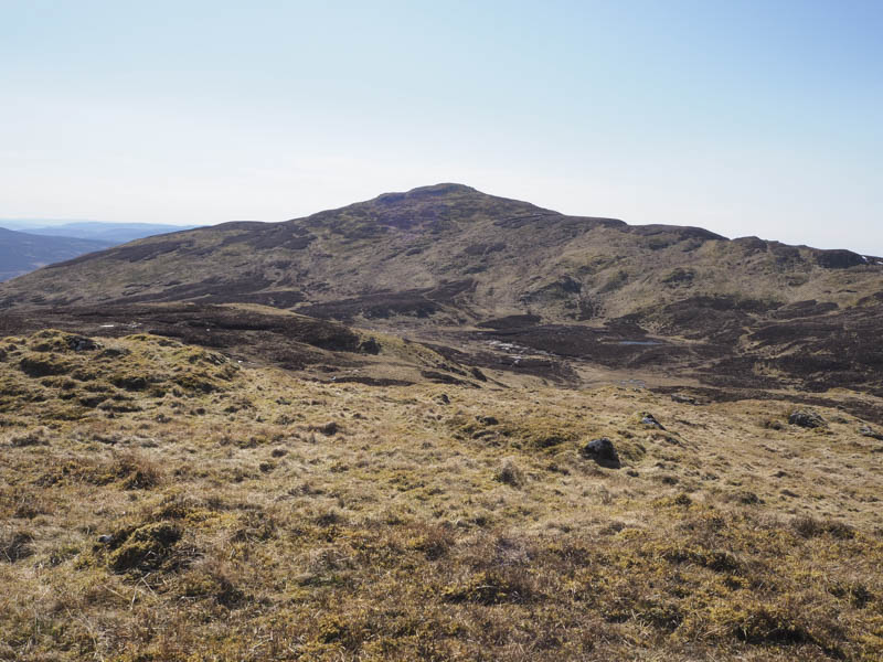
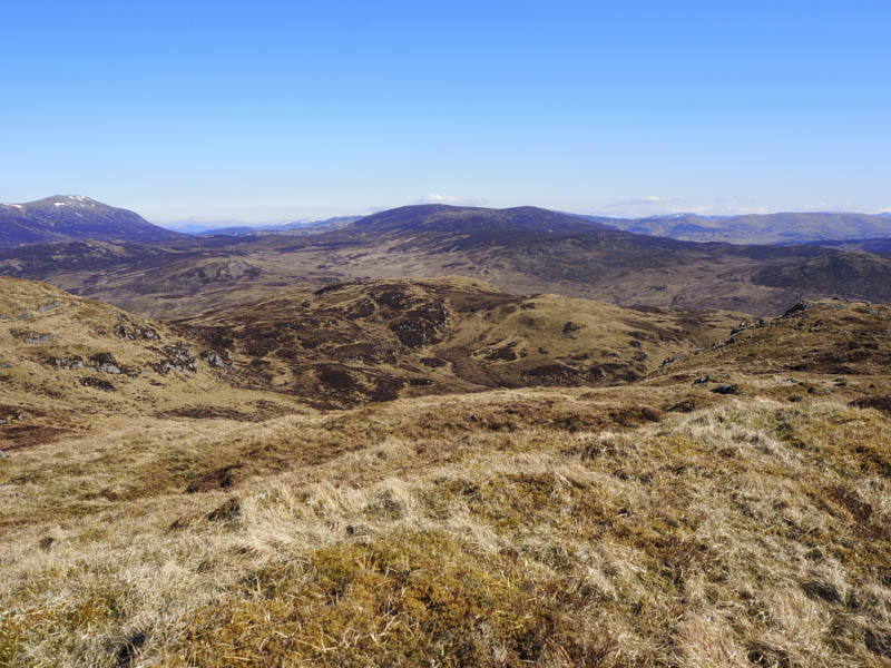
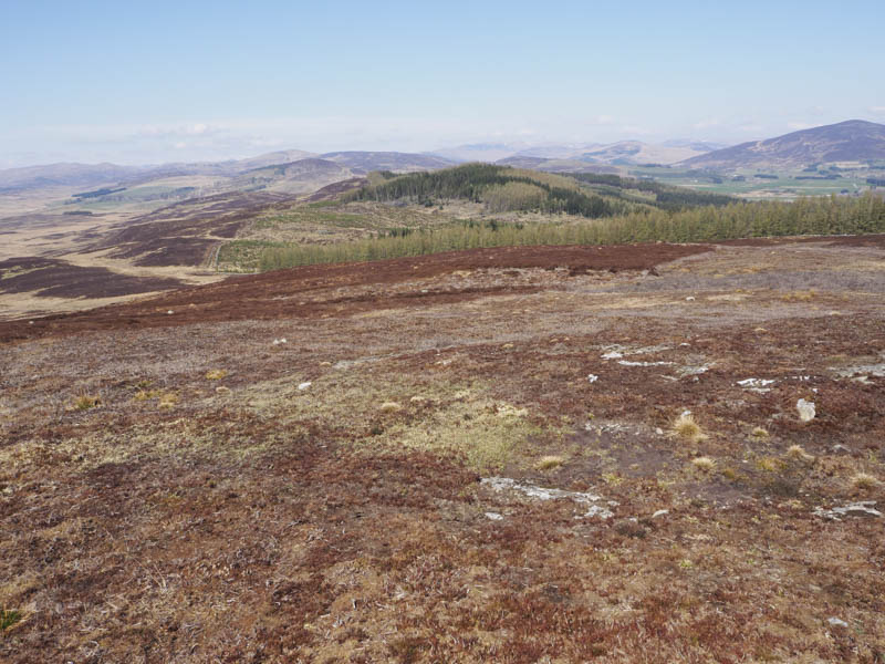
Descended north below the 696 point (Meall Breac North Top) and climbed onto Creag Spardain. The highest point of this Sub Simm was some heather and moss.
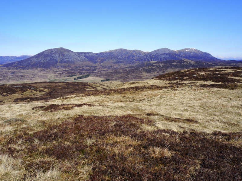
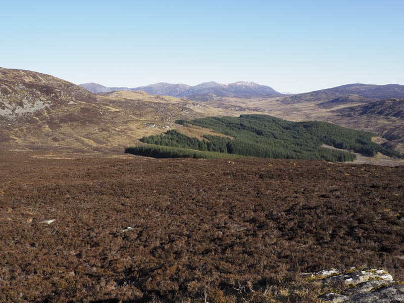
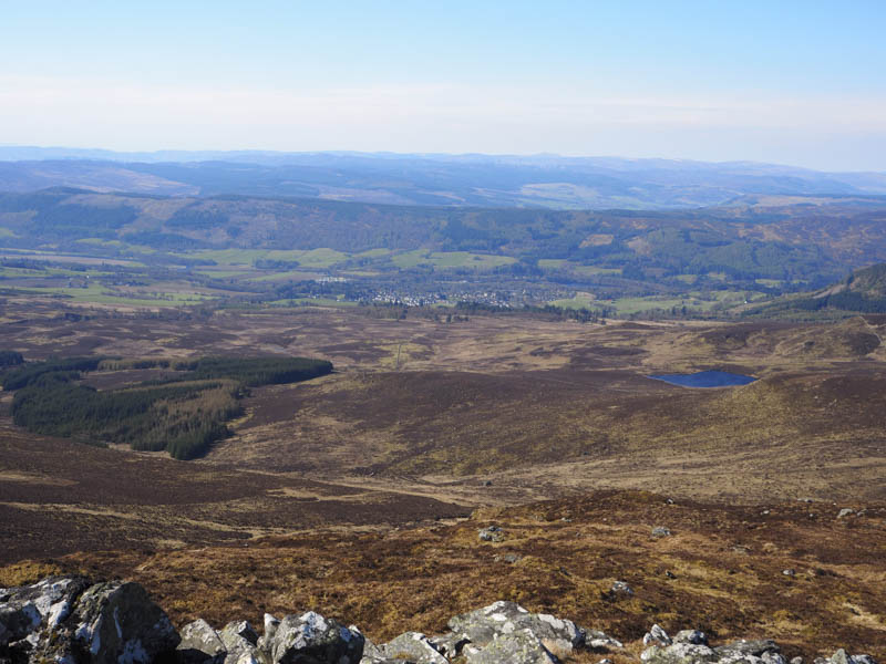
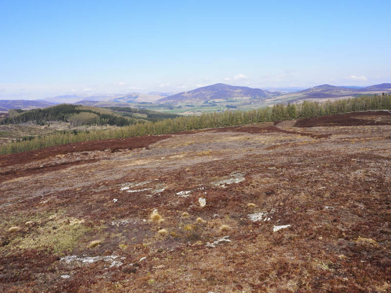
That was as far north as I intended walking so it was time to return to the start. Initially it was a fairly easy descent north-east on grass but lower down the underfoot conditions were very mixed with long heather, tussocks, deer paths, a few crags and a short section of an ATV track. This led towards a plantation, re-crossing the old stone dyke, to reach the deer fence which along with the trees was slightly further west than shown on my map. The fence was followed south then south-east crossing an awkward area where wire strands supporting the deer fence were wound round a few of the several large boulders. I later left the fence line and descended south through mainly grass to rejoin the upward route a short distance from my car.
Knock of Balmyle – There was no suitable place to leave my car on the A924 Bridge of Cally to Kirkmichael Road so I drove north-east to Tomlea Farm and received permission to park to the south of the farm beside repaired fencing damaged by fallen trees.
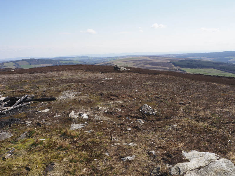
I walked back to the farm and round the buildings to the north where a new steading had been recently constructed. The vehicle track was still being worked on and beyond it I went through a stock gate and north-east up a farm track at the side of a field holding sheep and their lambs. After a double set of gates I followed the track south along the edge of a small copse soon leaving the track and walking through a grassy field to the south-west of the trees, passing through an open gate and into rougher vegetation. On reaching and crossing a wooden gate I walked through heather, some had been burnt, to a large rock beside the trig point which marked the summit of the Tump, Knock of Balmyle.
I then retraced my route back to the farm and my car.
- Total time taken – 5.75 hours.
- Total distance – 14.25 kilometres.
- Total height climbed – 800 metres.