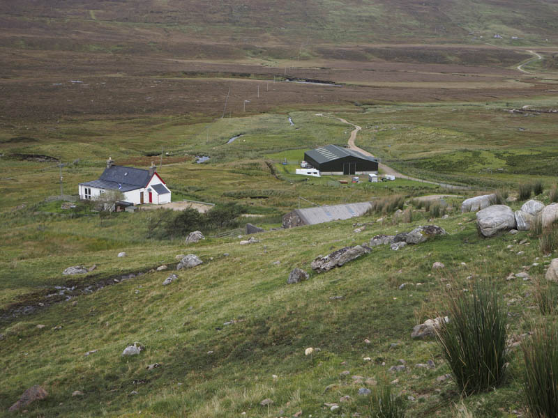
The starting point for the ascent of the Corbetts, Beinn Spionnaidh and Cranstackie was opposite the house, Carbreck, on the A838 Rhiconich to Durness Road in the Far North-West. Immediately to the east and at the start of the vehicle track leading to Rhigolter Farm there was an area of rough ground where I left my car. The nearby small quarry where I’ve parked before was being used as a storage yard.
It was rather windy when I set off along this track which descended to the River Dionard with its bridge and stock gate. There was also a small pedestrian gate. The track had recently been resurfaced with sand and gravel and there was lots of new fencing around. I was later advised that it was being installed due to the volume of vehicles now using the A838, part of the North Coast 500 route, and their speed on this single track road where sheep often roamed.
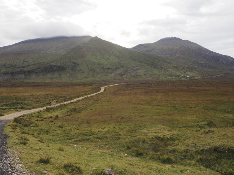
I continued along the track and at Rhigolter Farm, passed through a stock gate then headed south-east on a rough and little used vehicle track which came to an end at a gate.
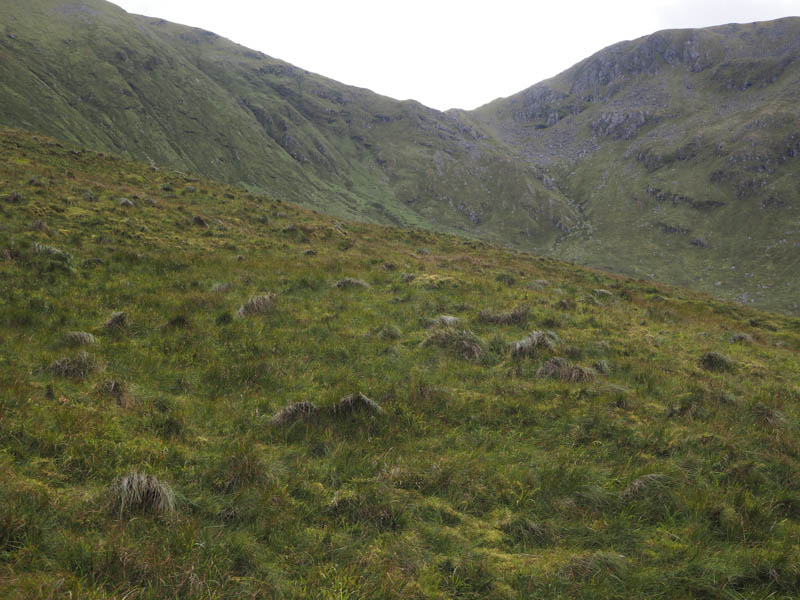
Beyond I worked my way through long and rough vegetation consisting of grasses, reeds and some bracken then crossed a stile before commencing the ascent of Cioch Mor. The vegetation was now shorter but I was exposed to the strong wind and it was a bit of fight to reach the highest point of this uncategorised hill.
After a break sheltering from the wind I descended to the col with Beinn Spionnaidh.
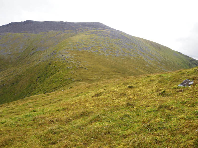
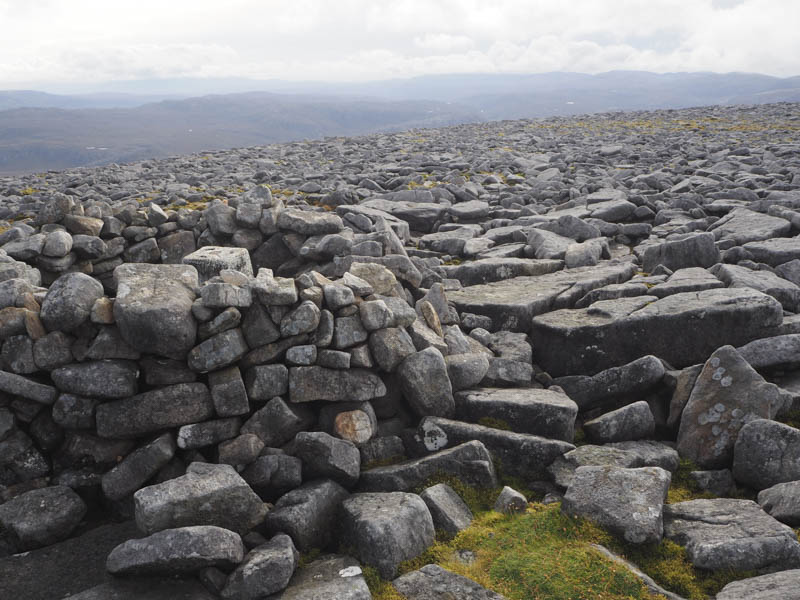
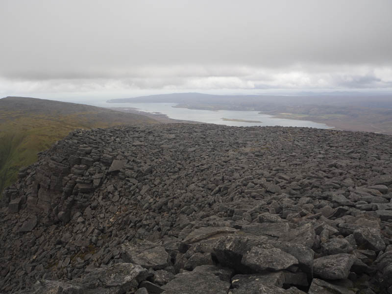
Initially it was a fairly easy ascent of its north-west ridge on grass and some stones but higher up I came to the boulder field which made for slow going as I looked for the easiest route. On gaining the south-west ridge the boulder field continued with progress in a buffeting wind a bit tedious. Eventually I reached the summit trig point and the actual highest point, a nearby rock.
I returned along the south-west ridge the boulders later being replaced by grass and moss before reaching the col with Cranstackie.
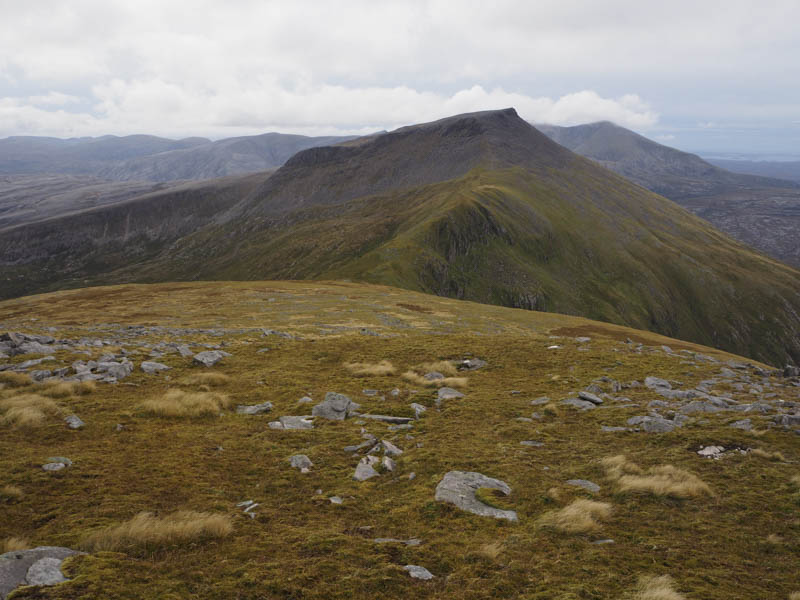
From there it was initially a wind assisted ascent onto Cranstackie’s north-east ridge which later narrowed. There was some buffeting from the wind as well as some shelter as I headed through the boulders but as the ground levelled out and became more exposed it was a job staying upright in the howling wind.
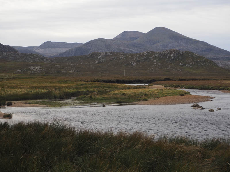
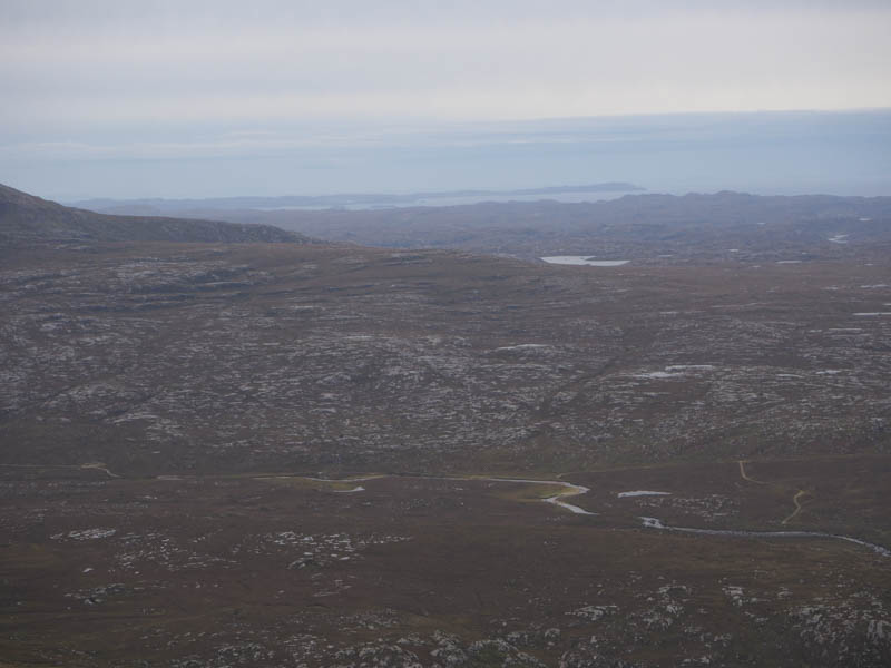
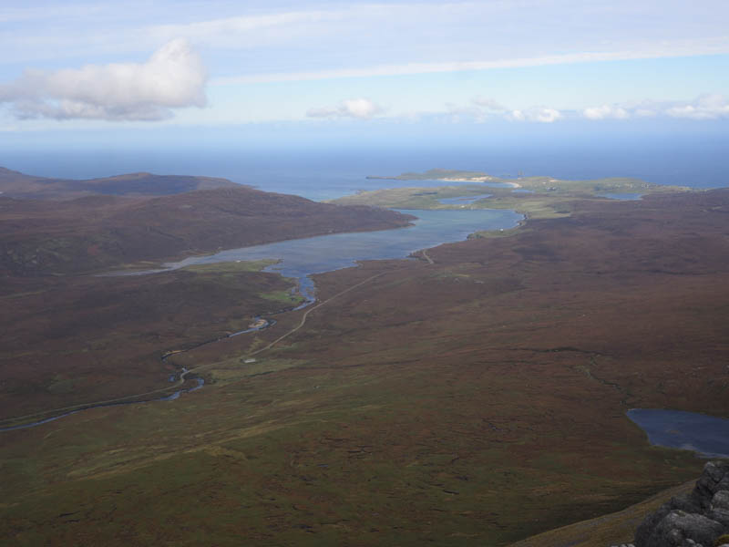
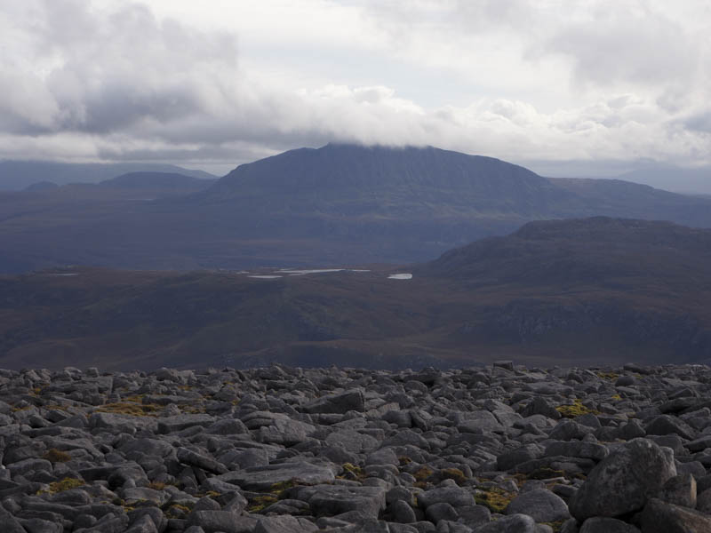
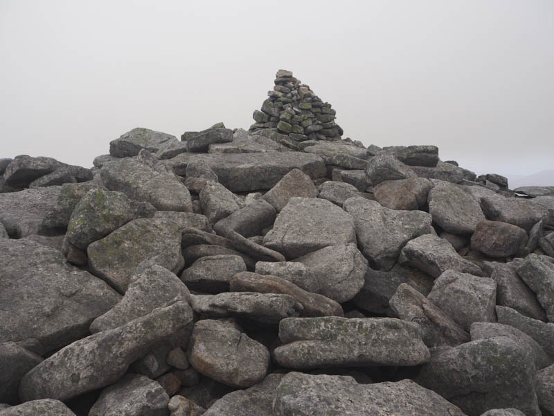
On reaching Cranstackie’s summit cairn the cloud had lowered onto Foinaven so after taking a few photos I descended back to the col with Beinn Spionnaidh then steeply into Calbhach Coire and out of the wind.
I took another break listening to the stags roaring below me.
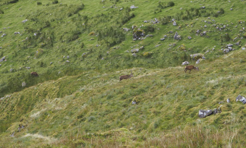
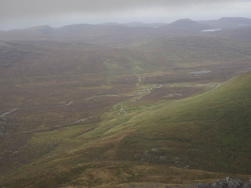
Once moving again I spotted the deer and heard the sound of antlers crashing and saw a brief fight before the loosing stag ran off. The hinds spotted me and made off causing consternation amongst the stags. I continued into the coire which in places was wet and boggy but the stags couldn’t have gone far as I could still hear them. I later reached the stile used earlier that day then returned to the start by the upward route.
- Time taken – 6.75 hours.
- Distance – 14 kilometres.
- Height climbed – 1185 metres.