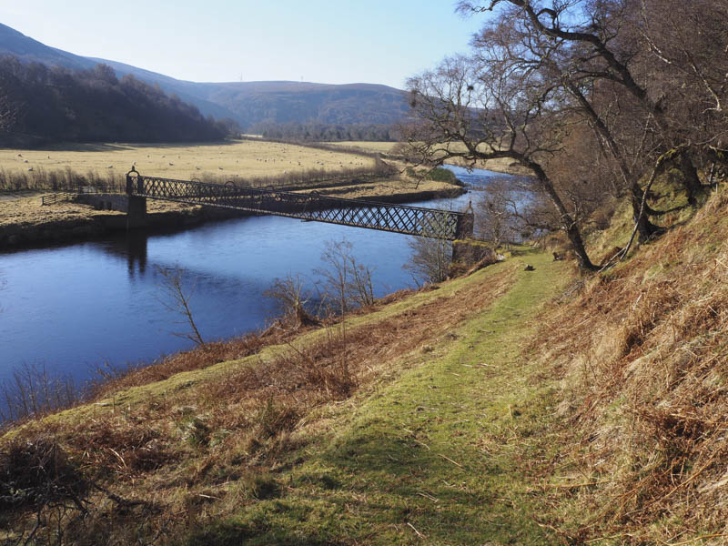
The starting point for this walk was Drynachan, accessed along minor roads from Cawdor. I managed to get my vehicle off the road south of Drynachan Lodge and before the footbridge over the River Findhorn, then crossed this bridge, and a field containing sheep, to join the estate track south of Tirfogrean.
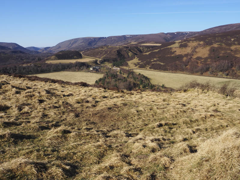
This track was followed south, steeply at times, passing a newish looking track running east and not shown on my map.
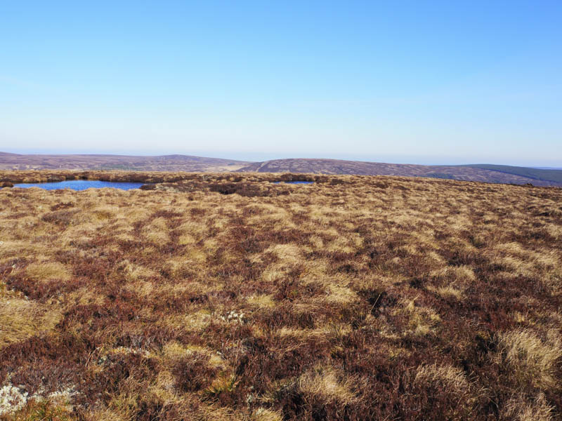
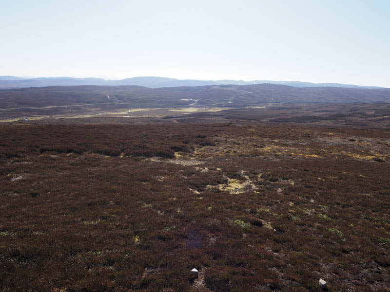
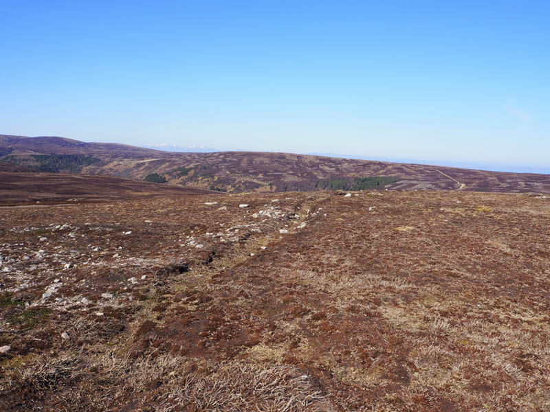
At the next track junction I went left, south-east, on an easy gradient, later leaving it and crossing heather, grass and moss to reach the summit of Carn na Sguabaich, the highest point appeared to be a clump of vegetation although it was manmade as there were pellets on top for grouse. There were also remnants of a claw with a red ring thereon but insufficient left of the bird to identify the species.
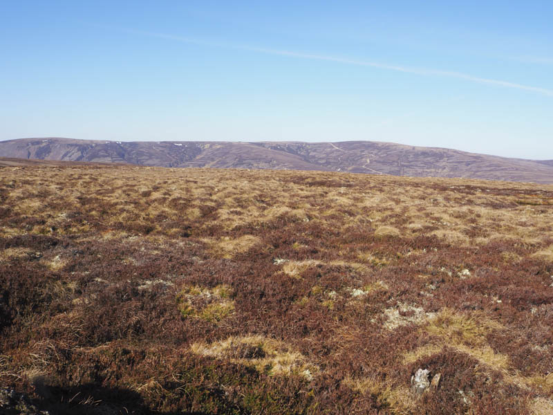
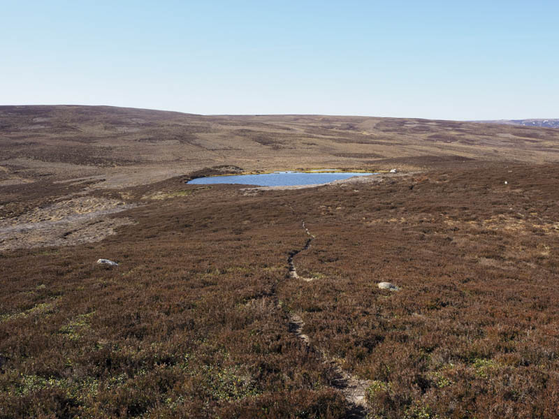
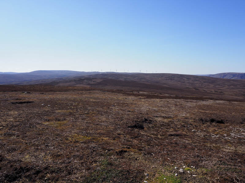
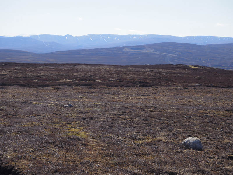
I thereafter headed north-east, crossing the estate track, then through heather of various lengths and some tussocks, keeping to the west of the 450 metre knoll, to gain the col with Maol an Tailleir South-West Top. I then ascended this Tump, keeping to the east of Loch Winter, where I disturbed a couple of geese.
From there I continued in a north-easterly direction descending to the col with Maol an Tailleir. Here I joined a vehicle track and followed it north, passed a track junction on my left, before leaving the estate track and making the short ascent to the Tump, Maol an Tailleir, visiting two possible highpoints.
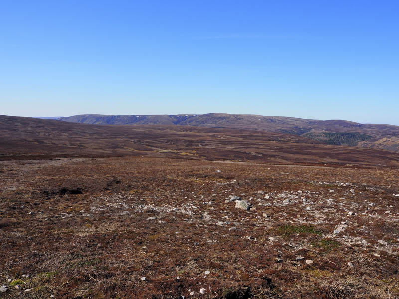
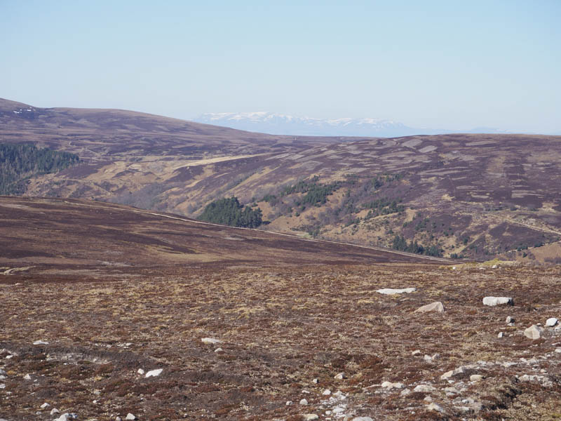
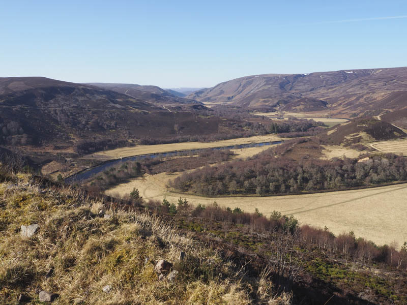
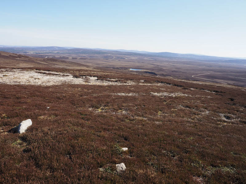
The descent west took me to the vehicle track, the start of which I had passed on my ascent of Maol an Tailleir. I followed it north-west then north to a gate in a fence where another newish track headed off to the west possibly linking with the other newish track I had passed on my ascent of Carn na Sguabaich. I continued my descent north-east to the vehicle track on the south side of the River Findhorn. This track passed through several fields holding sheep and took me west then south-west to the footbridge used at the start of this trip.
- Time taken – 4 hours.
- Distance – 12.25 kilometres.
- Height climbed – 415 metres.