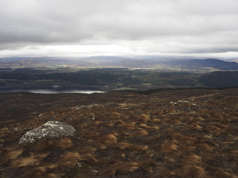
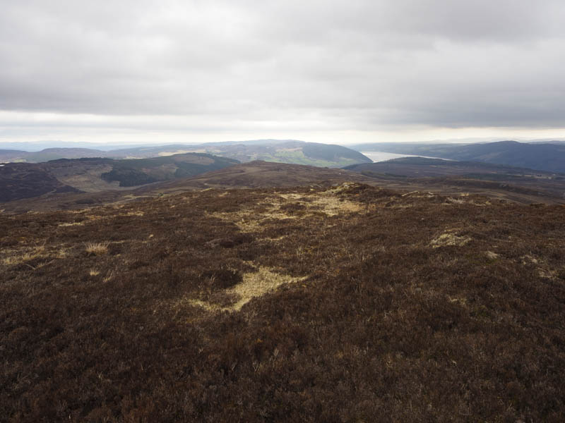
The start of this walk was the car park at Grotaig, at the end of the single track road accessed from Drumnadrochit, and high above the west side of Loch Ness. The signed path, lined in places with daffodils, was followed through the wood where the tress were well spaced. There were a few gates to pass through as well as occasional steeper sections with tree roots. Higher up there were fewer trees and I crossed a vehicle track under construction which was to be used for the extraction of timber. (NH482237)
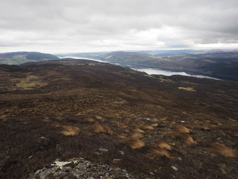
The path continued to wind its way uphill, again muddy in places, to reach a deer fence and stile. (NH477238) Once over it I headed onto the north-east ridge of the Graham, Meall Fuar-mhonaidh, and continued along the path which was muddy in places with areas of bog as well as a few rocky sections.
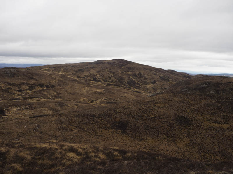
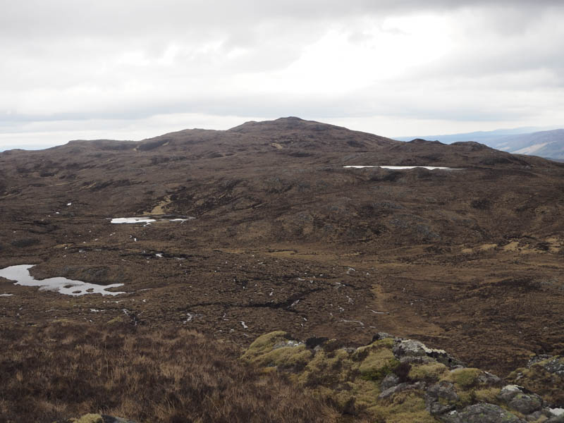
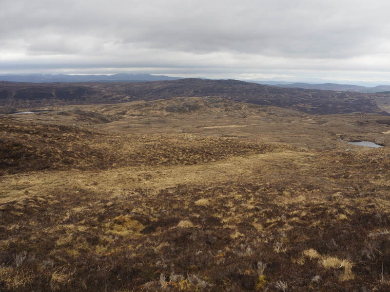
I later left this path, probably should have left it a bit earlier, and traversed below the north-east ridge of Meall Fuar-mhonaidh where it was a bit steep and tricky with some wet ground, moss and boulders. Eventually after a slight loss of height I arrived at the east side of Nighean a’ Mhill then climbed to the summit of this Sub Dodd which was marked by an outcrop.
After a break here sheltering from the wind I initially descended west to avoid the steep north face of Nighean a’ Mhill, then headed north to the col with Mac a’ Mhill before making the easy ascent of this Tump, the summit marked by a boulder.
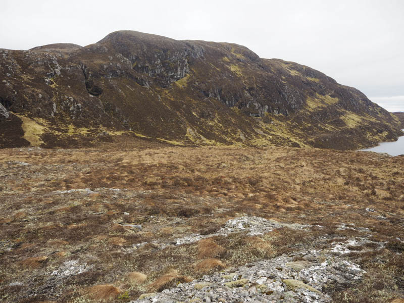
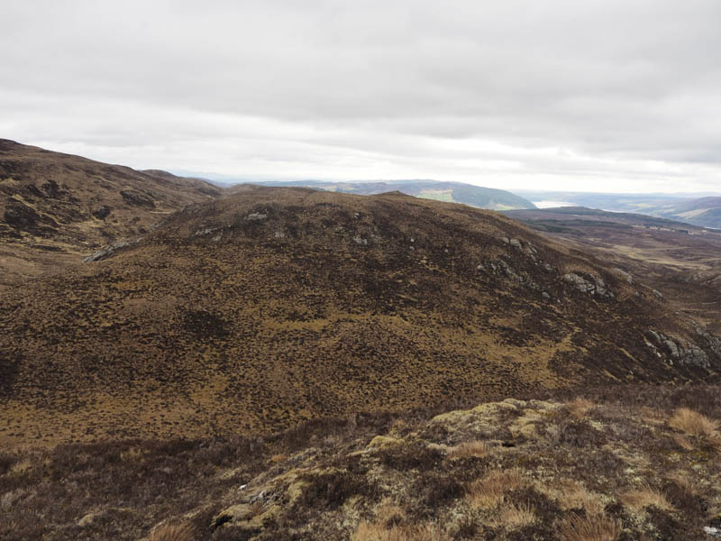
I descended back towards the col then walked south-west across rough and boggy ground to below the Graham, Glas-bheinn Mhor and climbed its East Top, the summit of this Sub-Dodd marked by a mossy outcrop.
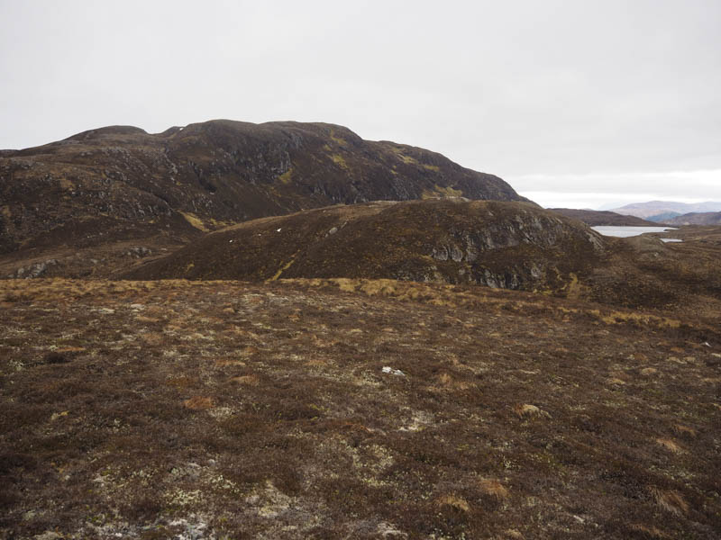
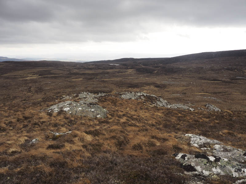
Thereafter I descended north-east and onto the south-west ridge of Glas-bheinn Beag and climbed to the summit of this Tump, which was marked by a cairn.
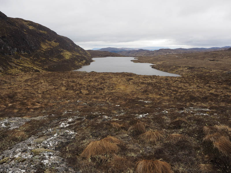
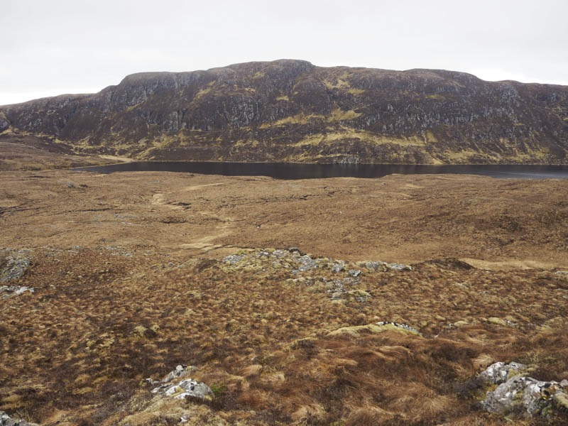
From here I descended to the east of Loch nan Eun then climbed to the summit of the Tump, Carn Ban, also marked by a cairn.
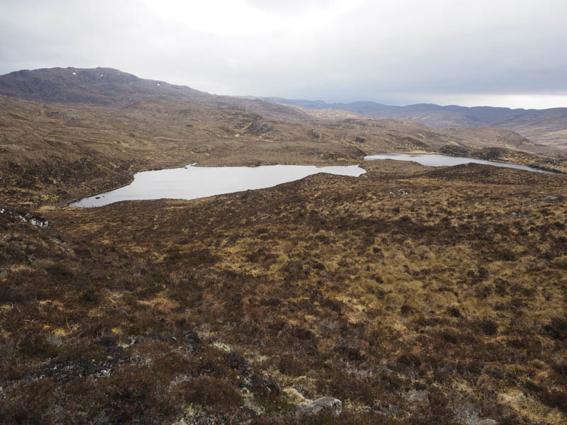
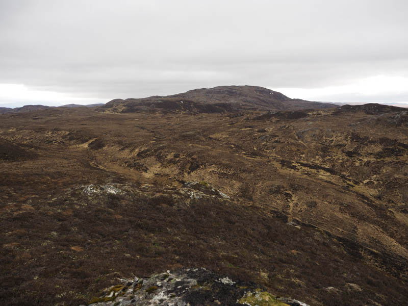
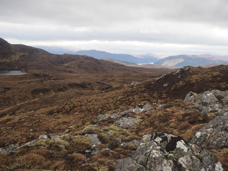
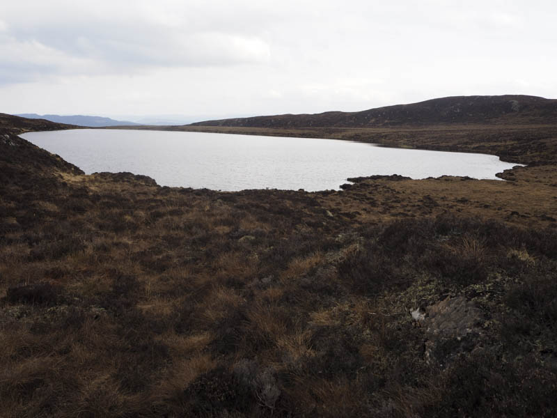
It was still windy on the tops so I sought shelter for lunch before descending east across rough and at times wet ground, with a few undulations, to reach Loch Dubh where I walked round its north side and across an ATV track.
I initially followed the loch’s outflow before heading to the edge of the forest at NH477247 as earlier I had observed the line of the vehicle track under construction. I joined the track here and followed it as it descended to the path crossing. (NH482237) I then returned down the path to the car park.
- Time taken – 6 hours.
- Distance – 16.25 hours.
- Height climbed – 760 metres.