I was staying at Doune on the Knoydart Peninsula, only accessible by boat or on foot, and set off up the track to the single track Inverie to Airor Road then in a heavy rain and a hail shower walked north to Airor. The tarred road came to an end and was replaced by a vehicle track which crossed the Airor Burn. Several cows left the nearby barn, where they were feeding. Just beyond I climbed over a barbed wire fence and ascended to the summit of the Tump, Torr Shamadaiain, visiting both tops. Fortunately the rain had ceased and I had some good views of the Sound of Sleat.
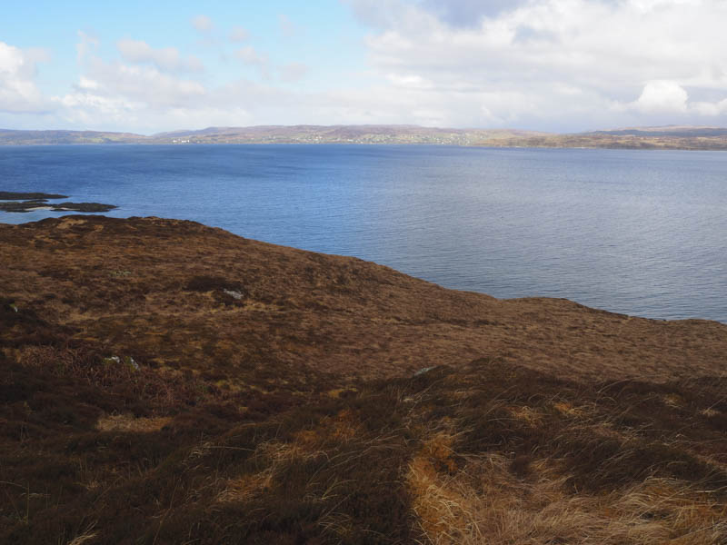
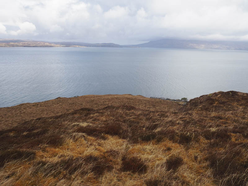
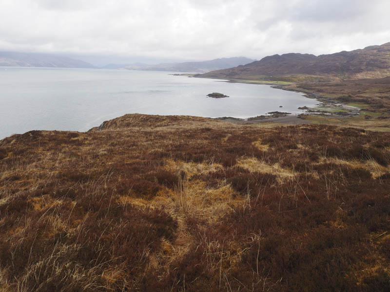
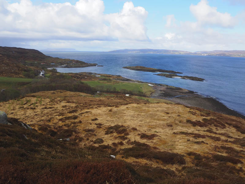
I returned to and crossed the vehicle track then some wet ground and followed the edge of a stock fence to a deer fence which I climbed over. There were several fences in the area apparently funded by the EU. The underfoot conditions were quite rough to gain the north ridge of Druim na Chuain-airghe where I climbed its North Top, a Tump. It was then onto its highest point, the Marilyn, but unfortunately here I encountered another rain shower and the wind had picked up.
From there I descended south before climbing the Tump, Beinn Bhreac, where I had good views of Inverie Bay and up Loch Nevis.
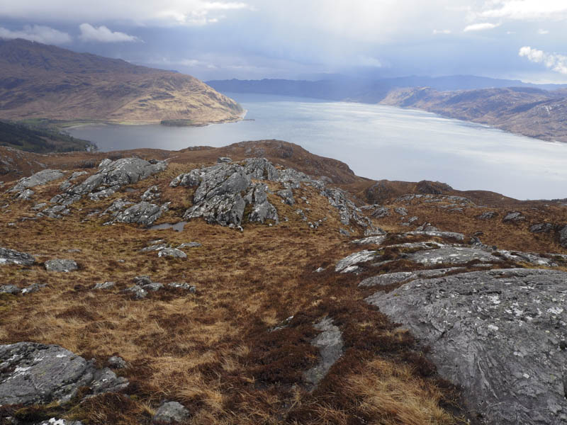
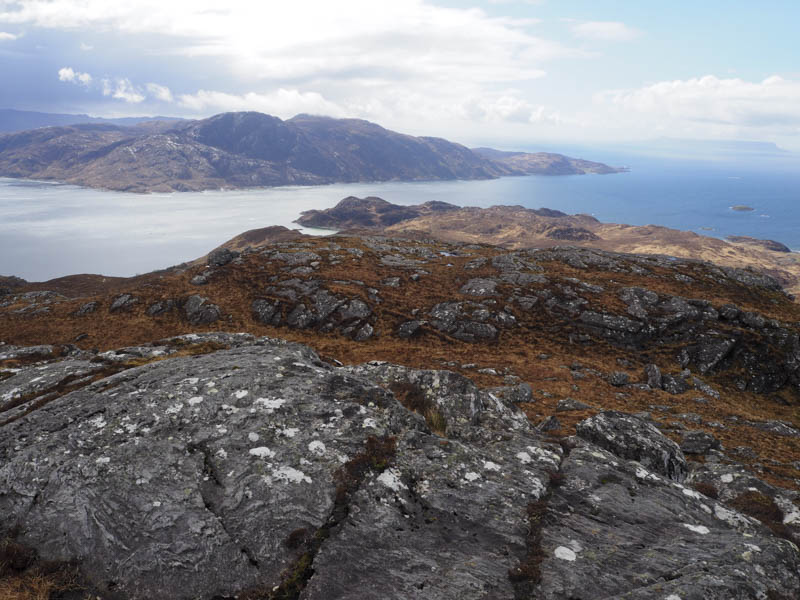
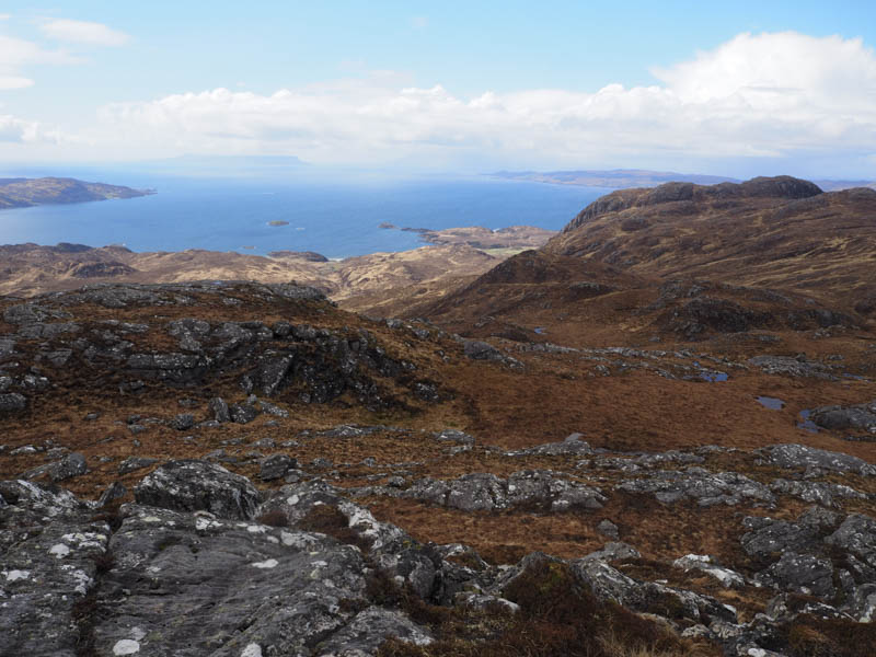
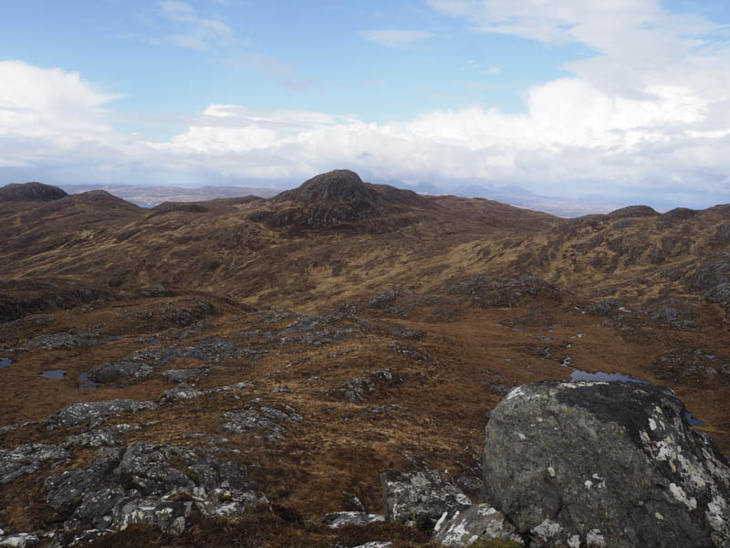
After a break here I headed over to and climbed Meall Garbh nan Gobhar then its West Top, both Tumps, before ascending the rocky peak, Roinn na Beinn via its east gully, also a Tump. I had views across to Mallaig and the Isle of Eigg.
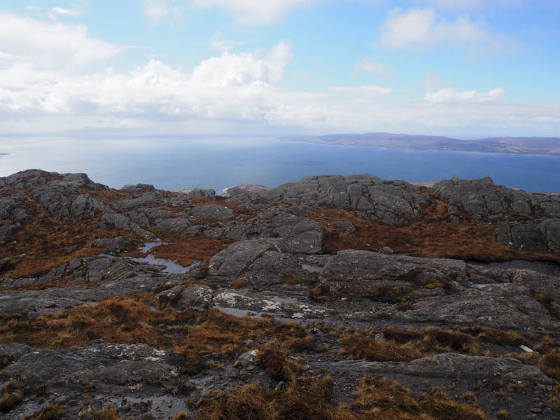
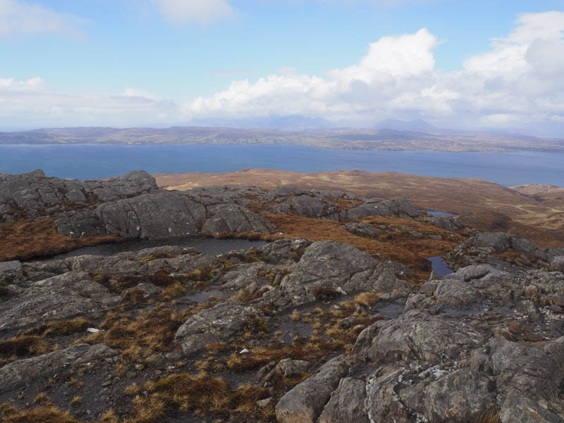
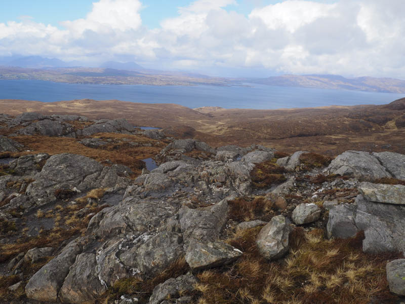
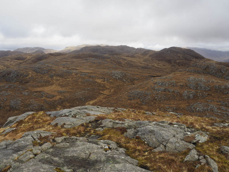
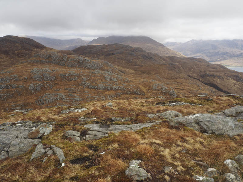
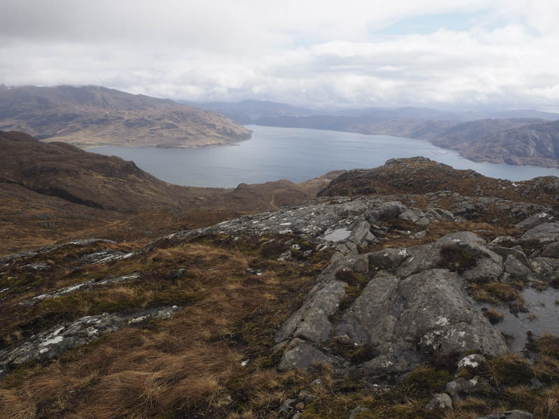
The return was down the east gully then round the east and north sides of Roinn na Beinn before walking to the south side of Loch Coire a’Phuill. From there I headed to the Inverie/Airor Road then down to the track to my base at Doune.
- Time taken – 7 hours.
- Distance – 17 kilometres.
- Height climbed – 1065 metres.