An Creagan and Cnoc Chalmac: The start for the ascent of these Tumps was the B976 Crathie to Gairnshiel Road at the Right of Way to Tomintoul (Grid ref. NO260981) where I left my car. I walked north-west along the Right of Way, a vehicle track in good condition, descending slightly to the bridge over the Coulachan Burn. Beyond, I left this track and headed up an ATV track passing through an old township and on towards An Creagan. The track ran to just below its summit so it was a short walk to the cairn which appeared to mark its highest point.
From there I descended north-east across heather of various lengths and some wet ground, avoiding the few snow patches, before crossing the Right of Way and commencing the ascent of Cnoc Chalmac. A cairn marking its summit was reached and here I took a break sheltering from a cool breeze. I thereafter returned to the Right of Way and followed it back to the start.
Creag Mhor: I parked at the start of the vehicle track on the west side of the B976 Crathie to Gairnshiel Road, just north of Bush Farm, (Grid ref. NO256965) and walked north-west along this track which took me through the trees. I then followed the edge of the forest, crossed a stream, and cut over an open area of ground consisting of long heather and some water. A new stock fence and an old deer fence were negotiated before re-entering the forest and climbing to the cairn marking the summit of this Tump. The return was by the approach route.
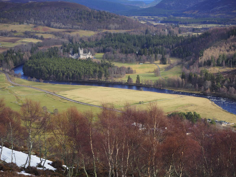
Creag Nordie: I left my car in the lay-by on the south side of the A93 Ballater to Braemar Road opposite Inver, crossed the road and briefly walked west along the Inver Road to a stock gate. I crossed this gate and commenced the ascent of Creag Nordie through lots of dead bracken and higher up some rocky ground to reach the cairn marking the summit of this Tump. The return was by the ascent route.
Creag na Spaine: I parked at the start of the vehicle track on the north side of the A93 Ballater to Braemar Road west of the Inver Hotel (Grid ref. NO224929) and set off along this track, round a locked gate and to the east side of Creag na Spaine. Here I left the vehicle track and commenced its ascent through the trees and rough vegetation. The gradient increased with moss covered rocks and lots of windblown trees to cross making for very slow progress. I moved north-west until I found slightly easier conditions before I eventually reached the cairn marking the summit of this Tump.
With no plans to return by the ascent route I descended Creag na Spaine’s south-west ridge which was mainly free of trees. I later descended south through the trees to join a vehicle track which I followed north-east back to the start.
- Total time – 5.5 hours.
- Total distance – 15.25 kilometres.
- Total height climbed – 780 metres.