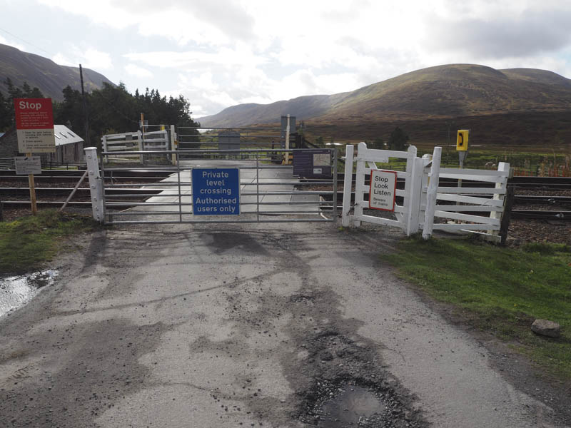
I’ve previously climbed Beinn Mholach from the south so decided on this occasion to approach it from the east. This involved a longer walk but a shorter drive as I came south on the A9. I parked on an area of rough ground immediately prior to the level crossing at Dalnaspidal.
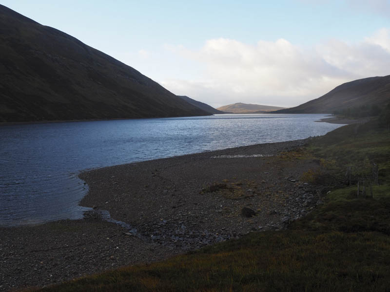
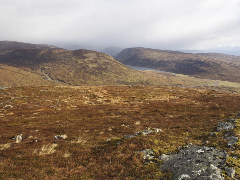
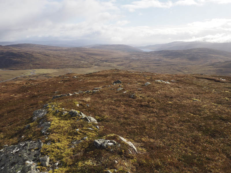
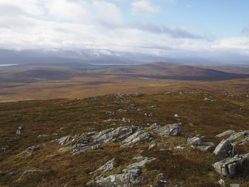
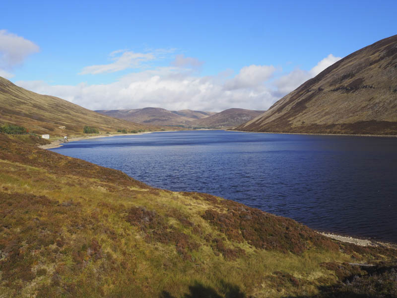
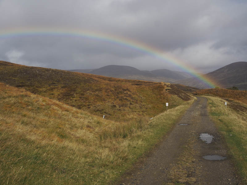
In the rain and wind I set off over the railway line and along the vehicle track crossing the bridges over the Allt Dubhaig and Allt Coire Luidhearnaidh where grounds works were taking place although not on the day of this walk, a Sunday. The vehicle track then continued along the north-west side of Loch Garry and by this time the rain had ceased although there were a few showers to contend with during the day.
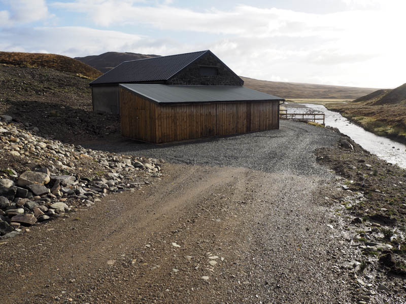
The Gatehouse, a pumping station taking water from Loch Garry to Loch Ericht, was passed and here the vehicle track swung round to the south. After another kilometre and a half, and at the Allt Coire Easan, the track came to an end. Beyond was an ATV track but after a few hundred metres or so it became wet and boggy. There were a few alternative tracks but selecting the driest route was a bit of a lottery. Eventually I reached the Allt Shallainn where a power station had been constructed along with a vehicle track. I briefly headed west along the north side of this stream to two bridges, one of which was new. The ground surrounding these areas were devoid of any vegetation so it appeared that the construction had only recently been completed.
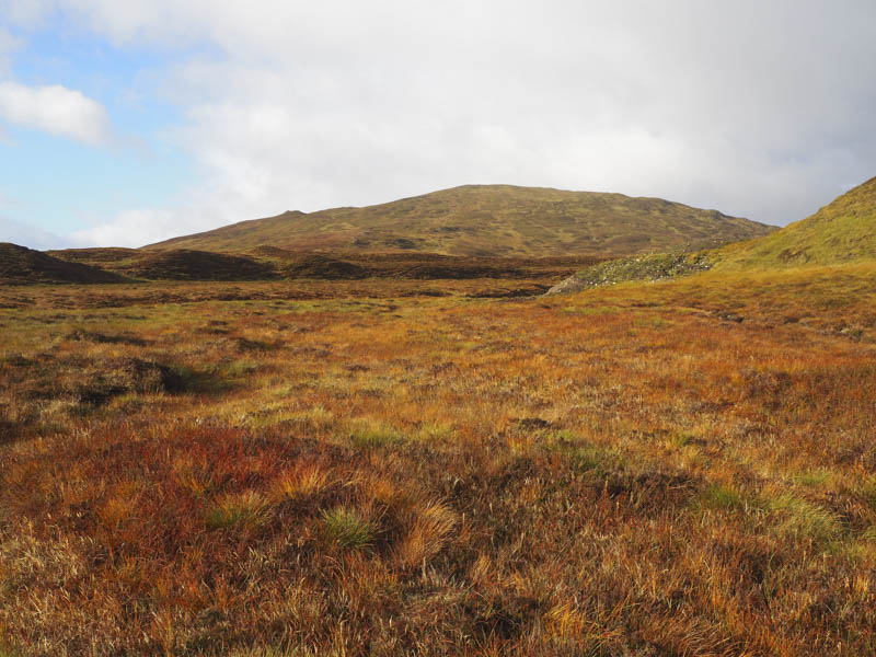
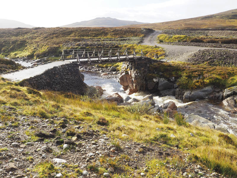
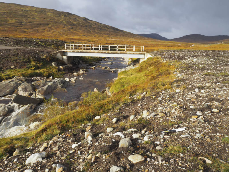
I used the old bridge to cross the Allt Shallainn and after a short walk south-east along an upgraded vehicle track I left it and commenced the ascent of Creag nan Gabhar. This involved crossing some rough and wet ground to reach its summit followed by a short drop to the col with Beinn Mholach on an ATV track.
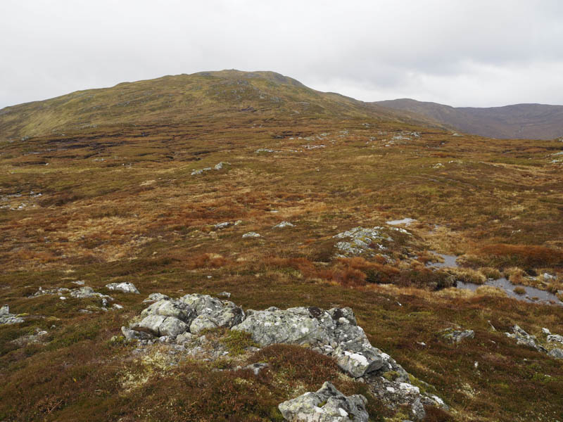
A path, which avoided most of the peat bogs led to the large summit cairn marking the summit of this Corbett.
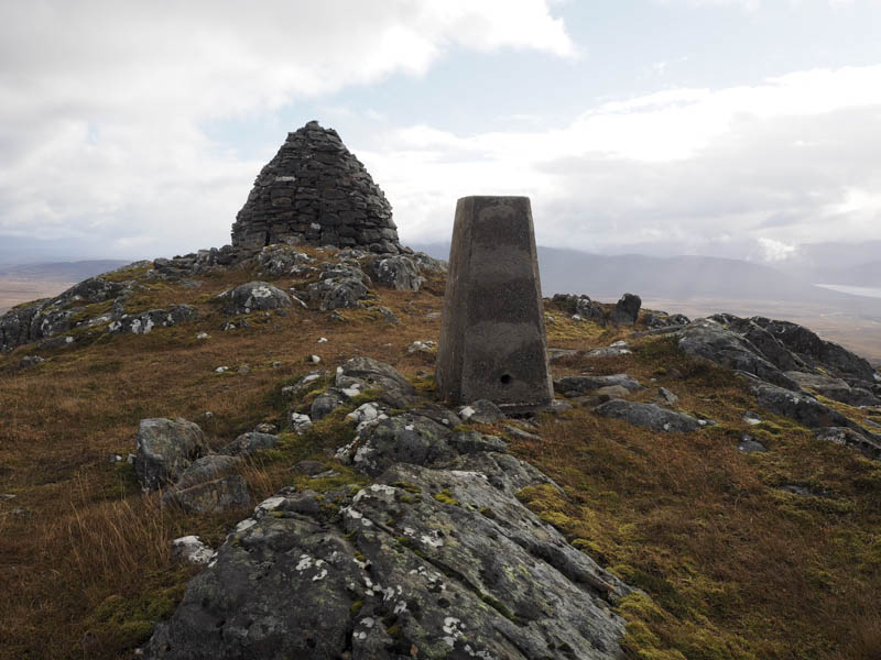
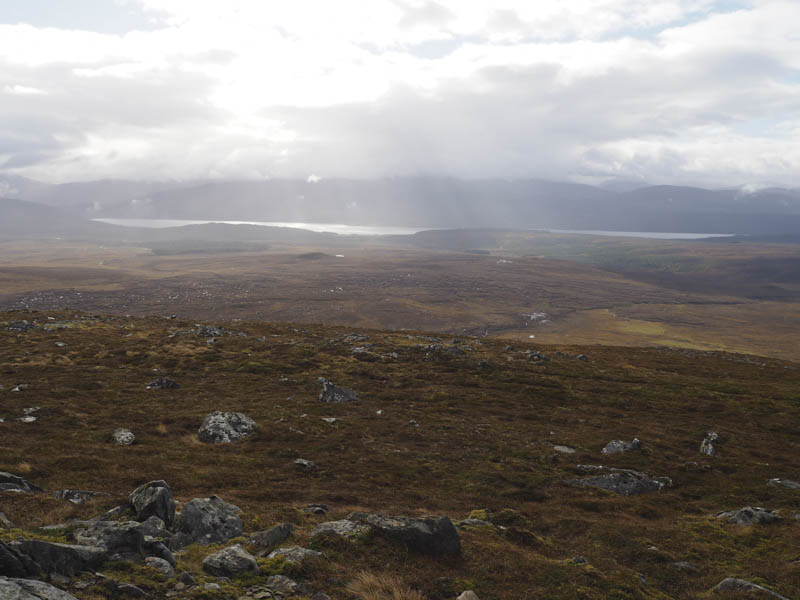
After a break sheltering behind the cairn I returned to Creag nan Gabhar then followed a wet and in places boggy ATV track, located slightly to the south of my ascent route, and returned to the vehicle tracks beside the Allt Shallainn. I then attempted to take a more direct route back to the Allt Coire Easan but the ATV track wasn’t much of an improvement on the ones used on the outward route. I then retraced the earlier route along Loch Garry to Dalnaspidal hearing the roar of the stags for the first time this year. The rut had started.
- Time taken – 6.25 hours.
- Distance – 21.75 kilometres.
- Height climbed – 690 metres.