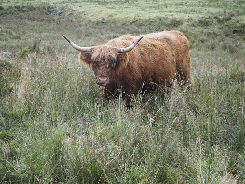
I parked on the east side of the B8077 immediately north of the A85 at Drishaig. Despite the temperature being only 3C it was a pleasant morning with some mist hanging around and a few hill tops were in the sun. I crossed the road, passed through a set of stock gates, then walked north along a vehicle track where Highland cattle and their calves grazed. They weren’t bothered by my presence although one was rather noisy.
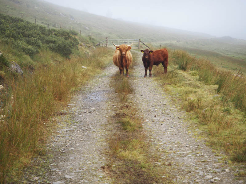
Further along the track, and as I approached another stock gate, a Highland cow and its calf were blocking my passage. The ground on either side was quite rough so I opted to pass the cow on the opposite side from the calf. I needn’t have worried as neither moved despite me being within touching distance of the mother.
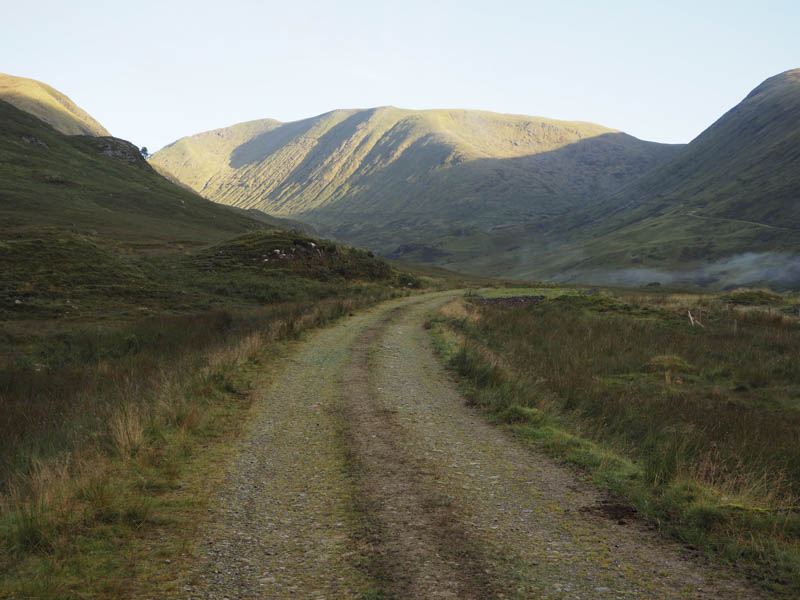
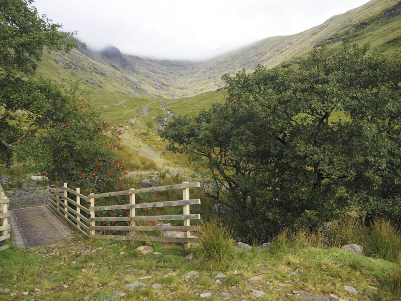
Once beyond this stock gate the vehicle track gradually swung round to the west and passed some disused quarries to reach a wooden bridge over the Allt Coire Ghlais where a new track headed into Coire Chreachainn.
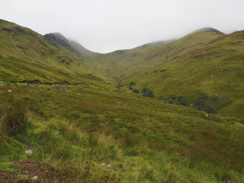
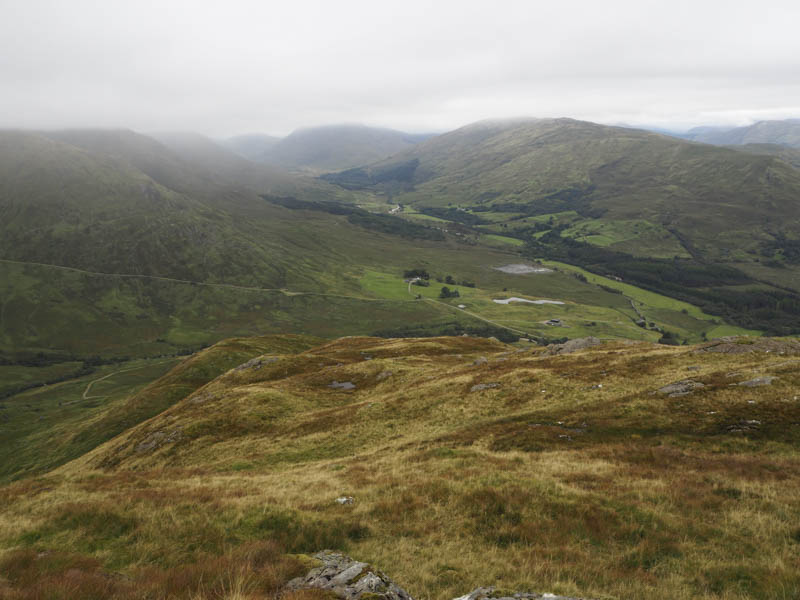
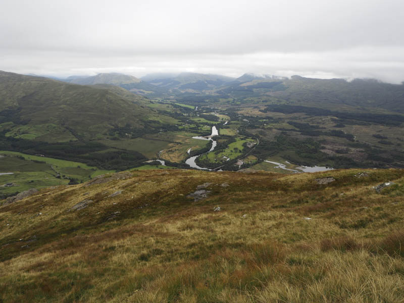
By this time the sun had been replaced by cloud which was covering some of the tops. I stayed on the south side of the stream as the vehicle track drifted uphill and away from the Allt Coire Ghlais before descending back to the burn and coming to an end at a mini hydro dam.
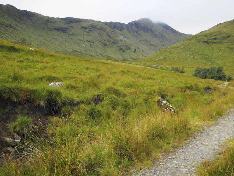
My route then continued up the south side of the stream through grasses, reeds and some waterlogged areas occasionally following sheep trails. On approaching Coire Glas the gradient increased and it was a tough pull up to the Lairig Torran and into the low cloud where I donned waterproofs due to the drizzle.
The climb onto Beinn a’ Bhuiridh was initially on grassy vegetation then the gradient increased with some boulder fields to cross to gain the East Ridge. It was then an easy stroll along a walker’s path to this Corbett’s summit cairn.
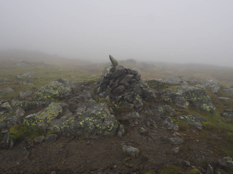
With no views there was little point in hanging around so I headed off down the East Ridge following the path which meandered to avoid some gullies. The path later disappeared as I continued my descent to the col with Monadh Driseig, then it was a short climb to its trig point.
From there I descended its north-west ridge later emerging from the cloud and meeting a couple on their ascent.
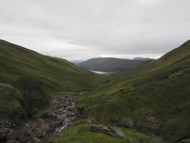
On reaching a col I descended south-east through grass and bracken then lower down there was lots of rocky areas to work round. A stock fence, rough vegetation and bog were crossed to return to the vehicle track a short distance north of my starting point.
- Time taken – 5 hours
- Distance – 11.25 kilometres.
- Height climbed – 950 metres.