I parked at the side of the minor road south-west of Dallas and north-west of Rhinagoup, in Morayshire, and walked up the vehicle track towards the new house at Coldwells. (It would appear possible to park near the access track to this property.) Beyond, I passed through a gate in a deer fence as the vehicle track, a fairly recent construction, linked up with the one between Mill Buie and Meikle Cairn.
At the track’s highpoint I left it and made the short descent through young saplings, the underfoot conditions were pretty awful, to reach a deer fence. Once across this fence it was through brash, the trees having been harvested, to reach a stock fence. This fence led onto Meikle Cairn, the final ascent on a peaty track. There was a cairn, pile of small stones, on the west side of this track but I thought the highest point of this Tump was on the other side of the track.
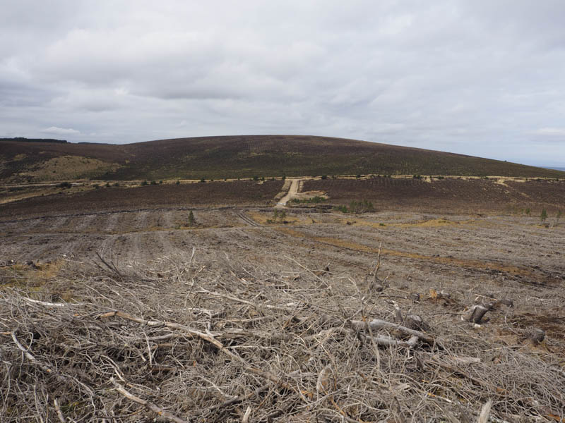
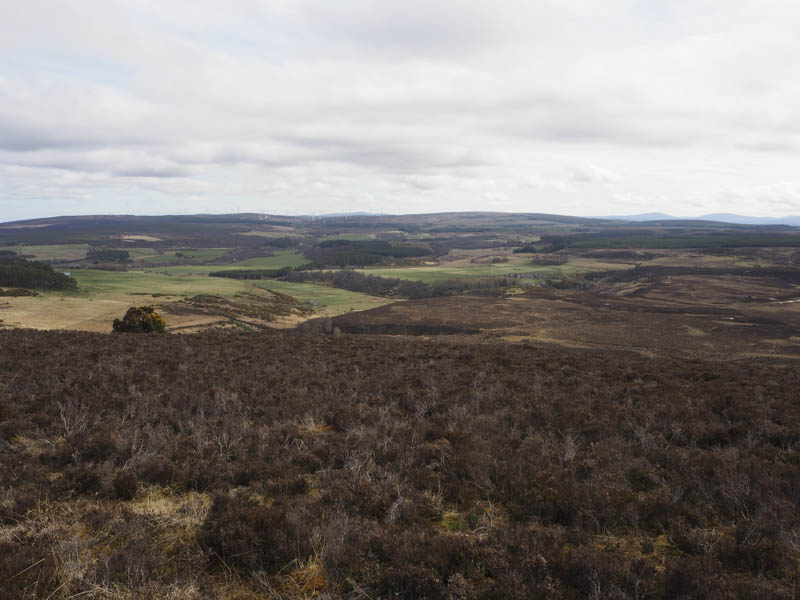
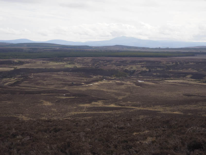
I descended a short distance down the peaty track to an area of heather which was probably a fire break before the trees were removed. This led to a set of padlocked gates in a deer fence and a short section of track which led to the main track between the two hills ,(NJ096497) a couple hundred metres south of the point where I had left it earlier. It would have made the ascent of Meikle Cairn easier if I had been aware of this beforehand.
Diagonally opposite this point an ATV track headed through the saplings, wet and boggy higher up, and onto Mill Buie. The track then followed the edge of a stock fence and took me close to the trig point marking the summit of this Hump.
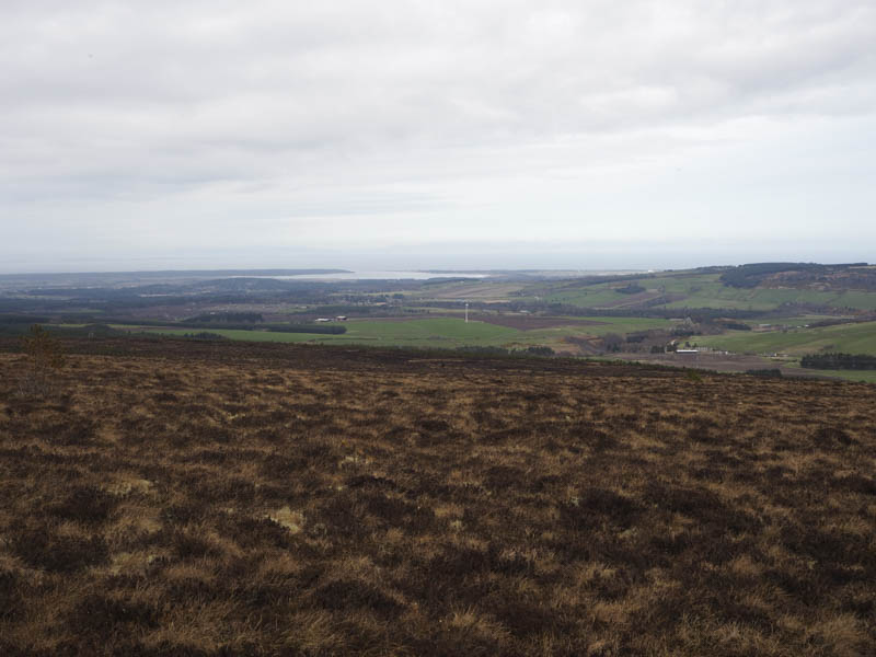
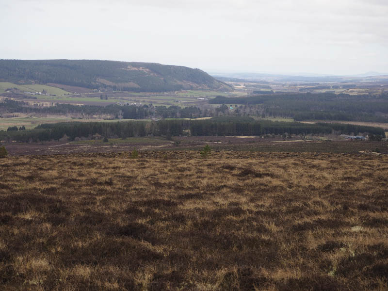
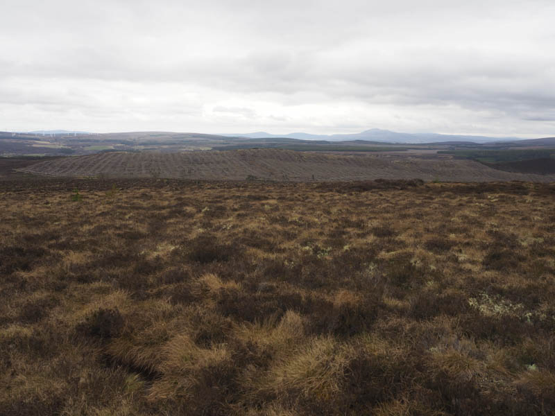
After a break here I returned down the ATV track then along the vehicle track to Coldwells and my car.
- Time taken – 2.25 hours.
- Distance – 6.5 kilometres.
- Height climbed – 220 metres.