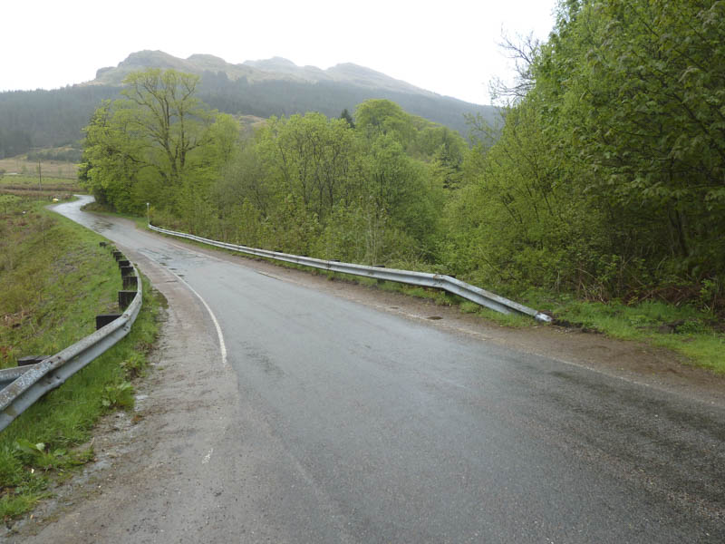
I headed to Lochgoilhead then along the west shore of Loch Goil towards Lettermay with the intention of climbing the Sub 2K Marilyn, Cruach nam Miseag, and possibly the Corbett, Beinn Bheula. Finding a parking space at Lettermay has always been a problem but with the appearance of more holiday cabins it is even harder. I managed to park on the grass verge immediately north of the Lettermay Burn.
Once booted up I set off along the road but after a few metres left it to join a vehicle track that passed a few houses before reaching the forest track. Some trees had been harvested since my previous visit in 2008 making the tracks and surrounding hills more visible.
I encountered a few rain showers as I walked along the forest track looking for a fire break which would give access to the north-west face of Cruach nam Miseag. On reaching the end of the mature firs there was a narrow break between them and younger trees. I walked up this gap although rough underfoot there was no real problems except for the mature trees that had been blown over. I came across an old ATV track which I initially ignored but later used it to cross brash to clear the upper reaches of the forest.
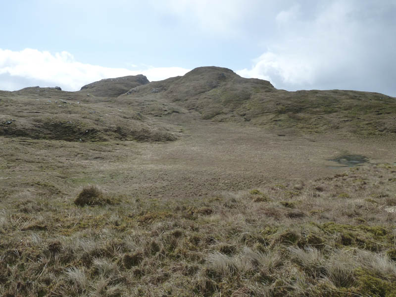
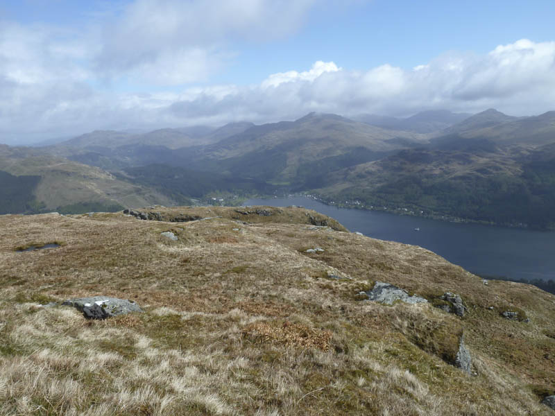
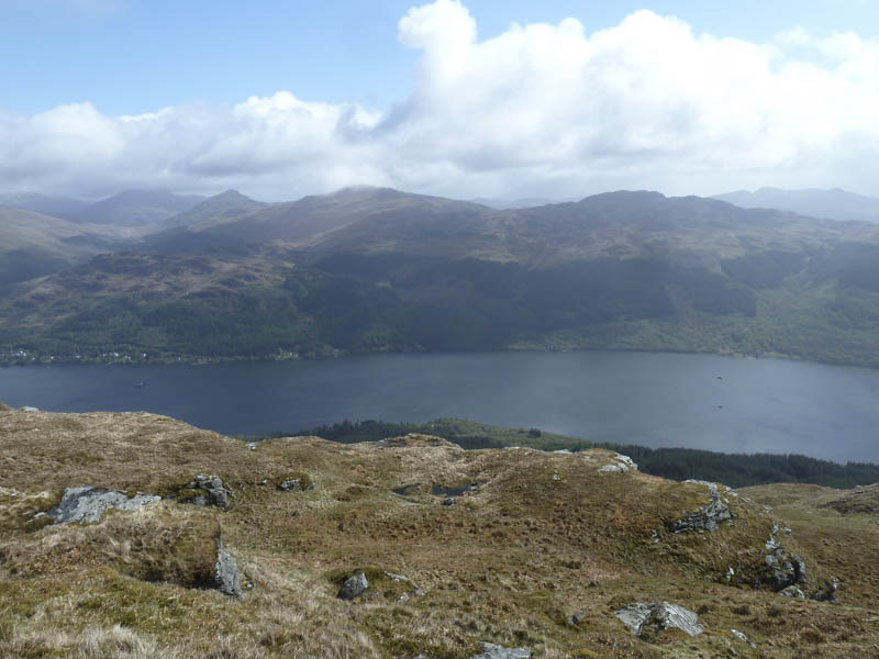
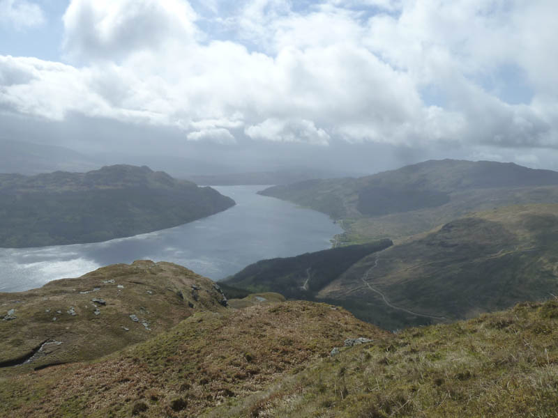
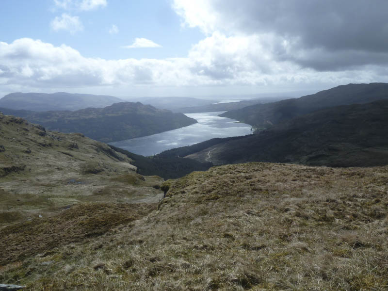
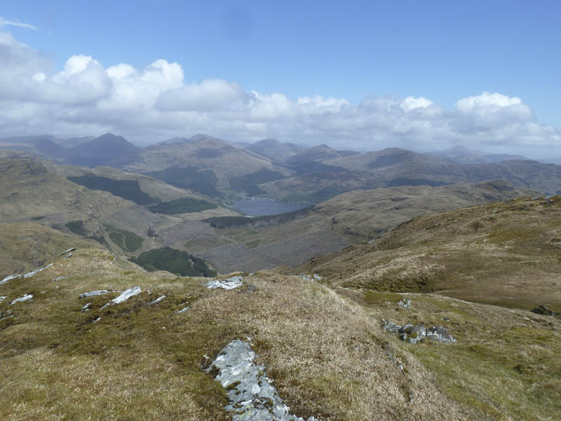
The ascent was then across a mixture of grasses with a few undulations and it was windy on the final approach with a fair bit of buffeting before reaching the small cairn marking the summit of Cruach nam Miseag. On the other side of the summit I found some shelter with views of Loch Goil, Loch Long and Lochgoilhead.
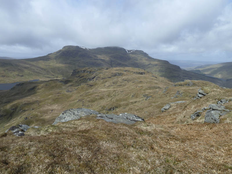
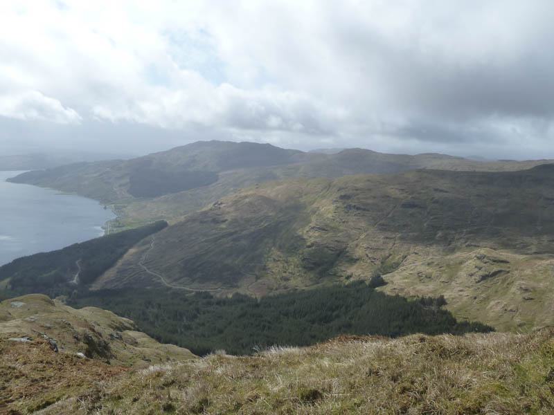
I headed west across the summit of Cruach nam Miseag West Top, a Sub Dodd, and onto the Tump, Cruach nam Miseag Far West Top.
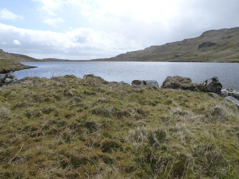
From there I descended to Lochain nan Cnaimh, avoiding some crags, then crossed a stock fence.
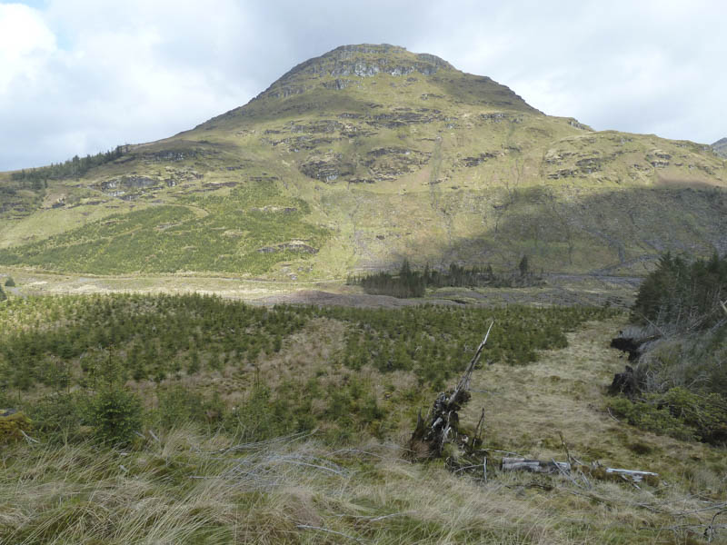
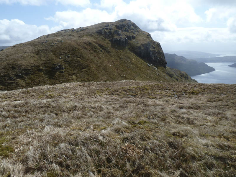
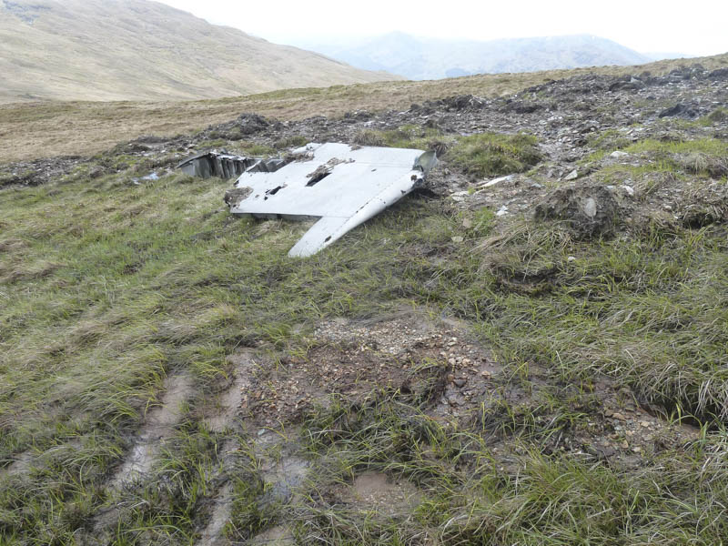
Here I decided to continue to Beinn Bheula rather than re-enter the forest. I therefore walked up the side of a gully through some rough vegetation, crossed another stock fence, to below the Creag Sgoilte cliffs where there was a wing of a crashed aircraft.
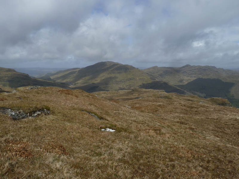
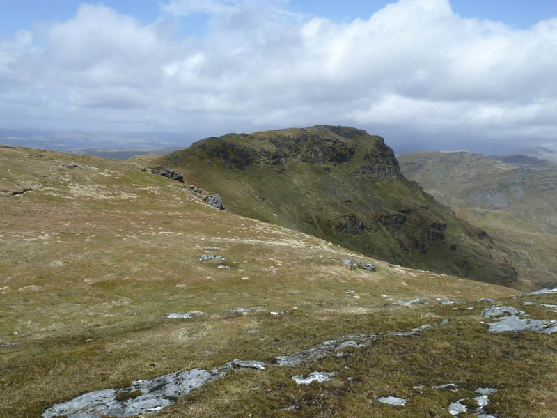
It was still windy and I was buffeted by it as I worked my way round the crags and onto the summit of the Sub Simm, Creag Sgoilte.
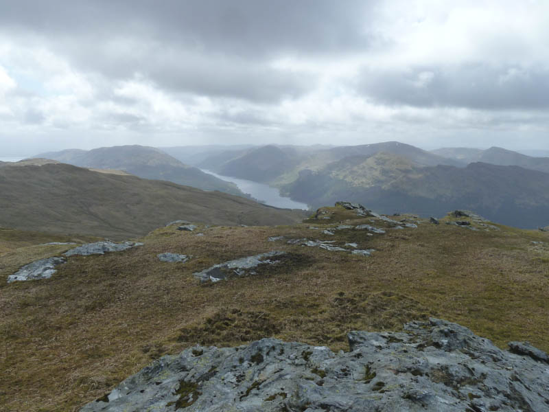
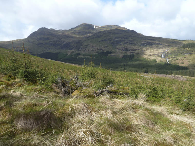
In the wind the next section of the walk was rather exposed so I avoided a path above the rocky east face by keeping slightly to the west. A short descent was then followed by a gentle gradient to reach the summit of Beinn Bheula marked by a trig point which was surrounded by a cairn.
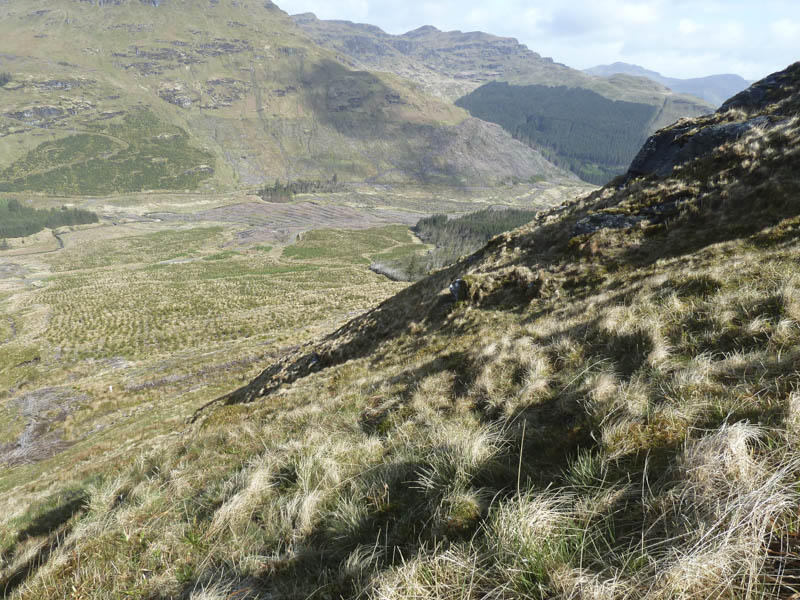
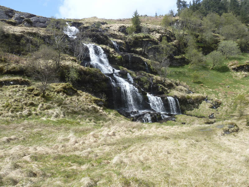
There was little shelter here from the wind so I didn’t linger and headed off in a north-easterly direction. This route through the rocks was filled with snow and not feasible without suitable equipment which I wasn’t carrying. I therefore moved further north, worked my way round some cliffs, to reach a point below the snow filled gully. I then continued my descent north-east, sometimes on a walker’s path, to eventually reach the stream flowing out of the Curra Lochain. Here a wet and muddy path was followed to the Sruth Ban Falls where the path, marked by some white posts, was in a worse state but took me through the rocks.
The path then led into the trees but was like a quagmire in places before reaching the forest track which was followed back to the start.
- Time taken – 6.25 hours.
- Distance – 15 kilometres.
- Height climbed – 1240 metres.