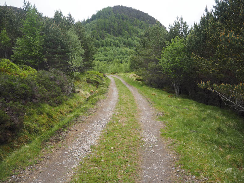
I drove to beyond the west end of the Spey Reservoir, accessed along the single track road from the A86 Newtonmore to Spean Bridge Road at Laggan, and parked at the start of the private road leading to Glenshero Lodge. We then walked along this road, by-passing the lodge buildings, and onto the vehicle track that ran through the woods to the west of Meall an t-Sithein.
After passing through a gate at the end of the woods we left the track and commenced the ascent of the Graham, Creag Ruadh, following the edge of a deer fence. Within a few metres we were confronted by a new deer fence where wooden slats had been nailed between posts acting as a stile.
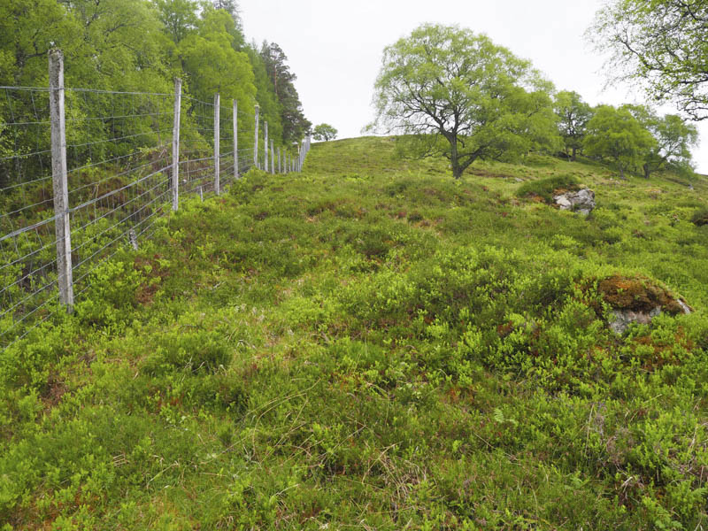
Within this fenced off area lots of rowan saplings as well as conifers had been planted. On reaching the top end of the new fence wooden slats with diagonal wire supports crossed the topmost slats making the crossing awkward. Wire mesh covered the lower half of the fence so it wasn’t dog friendly.
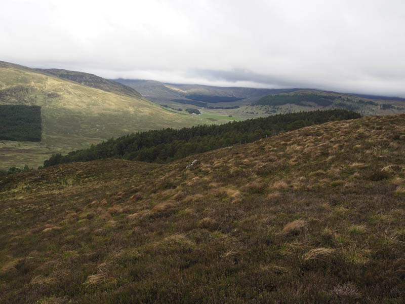
We then headed away from the line of the old deer fence to avoid steeper and rockier ground and found grassy rakes in the heather which led to the top edge of the fence.

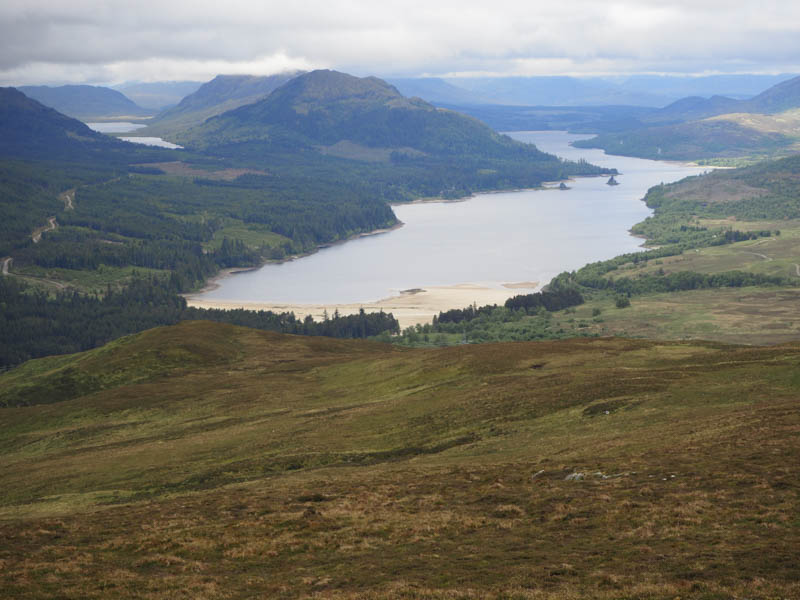
We could now see Creag Ruadh’s summit and keeping mainly to the highest ground worked our way to its trig point where we took a break before returning by the ascent route.
- Time taken – 3.25 hours.
- Distance – 8 kilometres.
- Height climbed – 395 metres.