The start for the ascent of Creag Coille na Maoile South Top was the forest track on the east side of the B9007 Duthil to Ferness Road south of the access road to Auchterteang Farm, where I was able to park without blocking the double set of gates.
I walked round these gates and along the forest track going east which soon turned north-east. Initially the track was in good condition with some nearby cleared areas and some new plantings. Further on the track became overgrown and blocked by a few fallen trees which were easily crossed. The track was becoming less obvious amongst the long heather.
A new deer fence came in from the south-east and continued along the east side of the now non-existent track so I walked south-east along the edge of the fence, through some rough and in places boggy ground, before climbing over the fence and walking north-east. Underfoot conditions were a mixture of heather, mossy and boggy ground and an area which at one time had been on fire as there was limited vegetation and the well spaced small trees were dead. This however did make for an easier area to walk across.
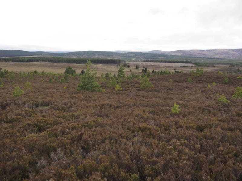
A stretch of damp mossy ground was reached but an animal trail made the crossing easier and led to long heather and some well spaced young fir trees. The highest point of the Tump, Creag Coille na Maoile South Top, wasn’t obvious but would have been some heather.
I then retraced my route.
- Time taken – 1.5 hours.
- Distance – 4.75 kilometres.
- Height climbed – 90 metres.