I left my car at the edge of the estate track immediately north of the bridge over the Allt Luachair on the B9102 Grantown on Spey to Archiestown Road, south-west of Advie. I then walked west up the estate track and through the zigzags. Spoke with the friendly keeper who informed me that the hill I was en-route to was called Craigvarren after the nearby house and not Craigwarren as I had it recorded it from a hill walking web site. He also advised me that it was worth using the estate tracks to make a circular walk.
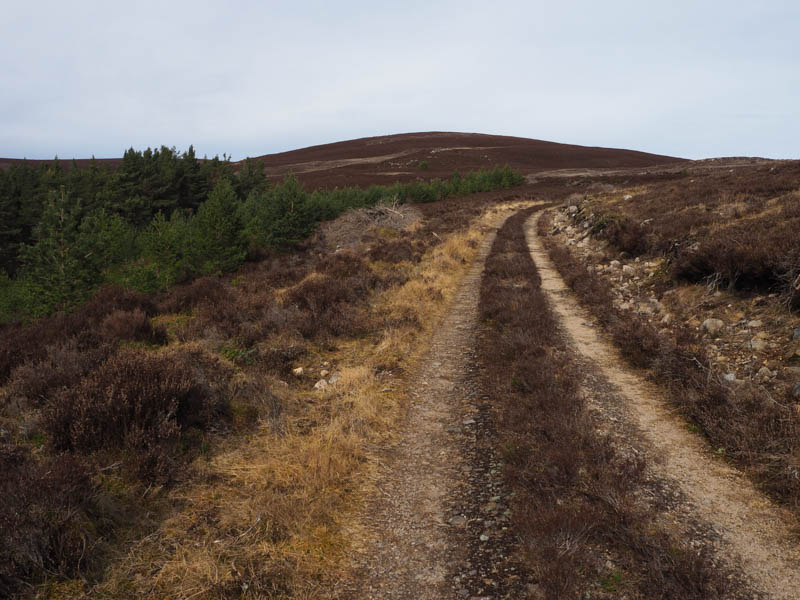
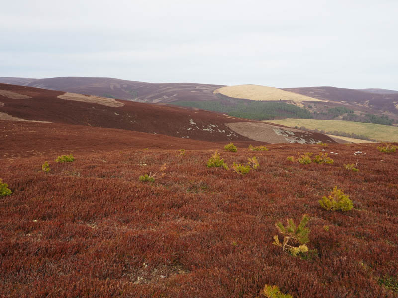
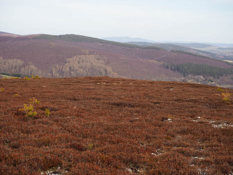
At a junction of tracks I took the right fork and at this tracks highpoint left it and briefly followed an old unused track to its end. It was then through heather of various lengths, due to muirburning, to reach the cairn and the highpoint marking the summit of this Tump.
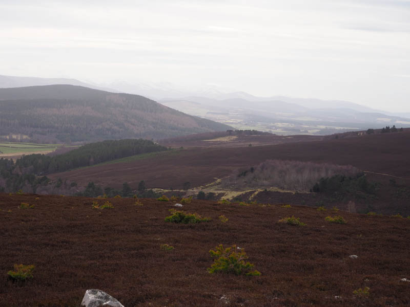
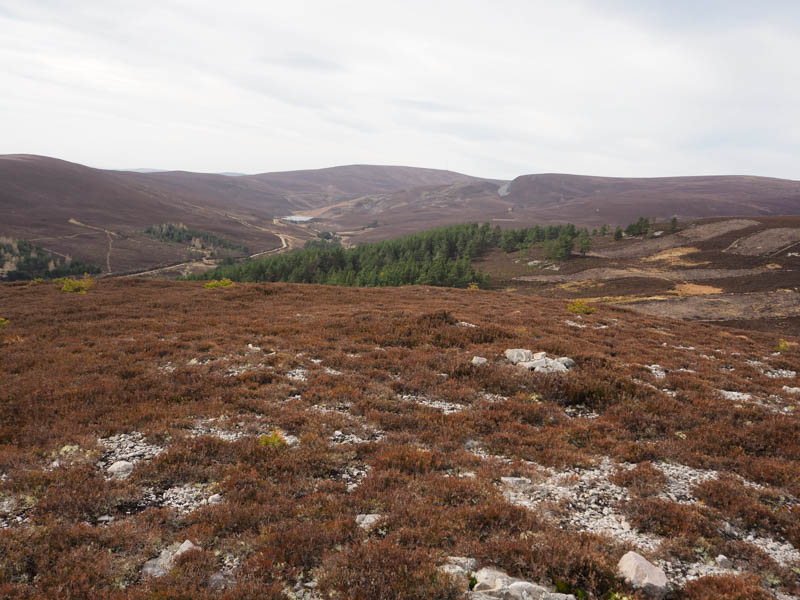
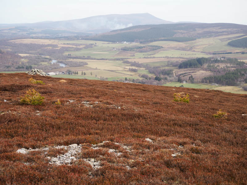
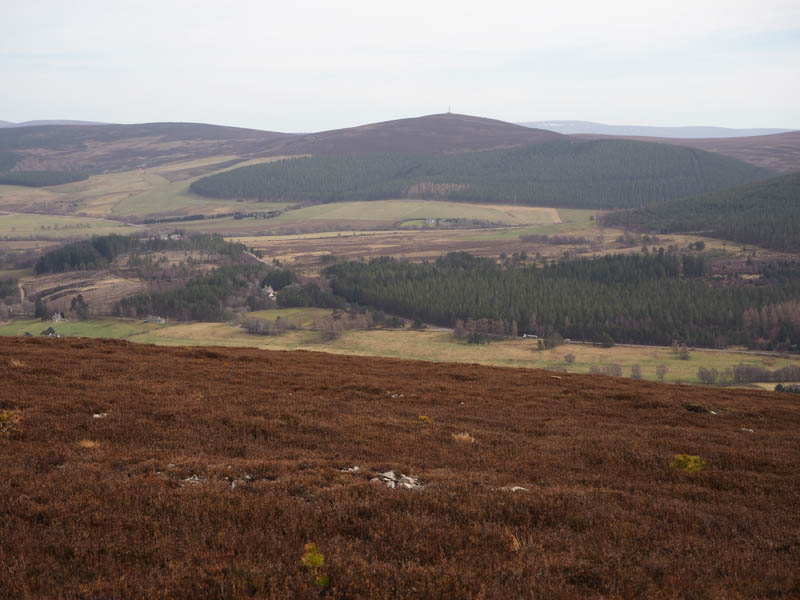
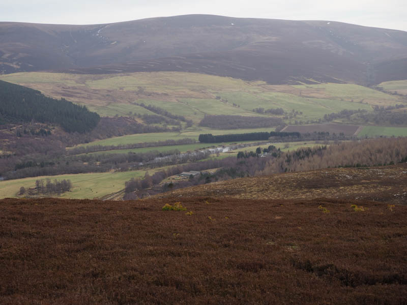
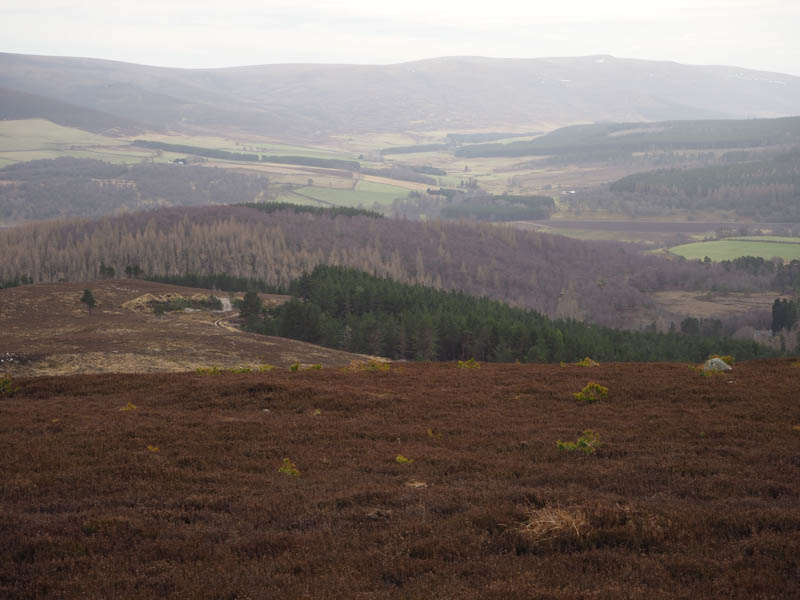
After sitting at the top for a while I descended south-east through heather then lower down bracken to join the estate track and follow it north-east. At a junction I turned right, south, and this took me back to the B9102 a short distance north of the Allt Luachair.
- Time taken – 1.25 hours.
- Distance – 3.25 kilometres.
- Ascent – 190 metres.