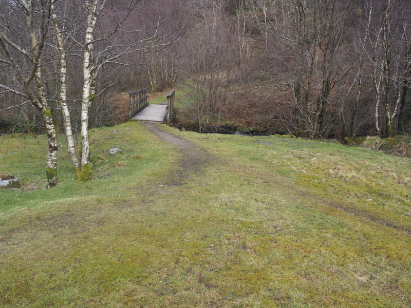
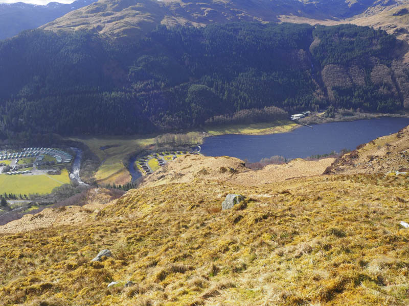
It was early afternoon when we parked up in the small car park on the south side of the Inverchapel Burn accessed from the A815 Strachar to Dunoon Road at the south end of Loch Eck and opposite a holiday park. On leaving the car park we crossed the burn via a footbridge then immediately took a right following a path that zigzagged uphill.
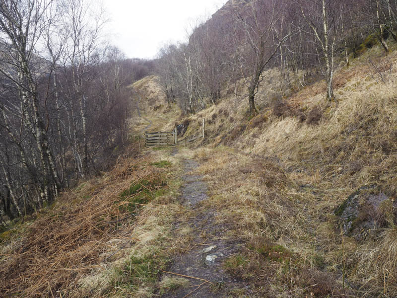
The path later levelled out a bit and at the third gate we decided this was a suitable point to leave the path. It was a steep climb through a mixture of vegetation but fortunately most of it was dead unlike on my previous visit several years ago when the bracken was taller than me.
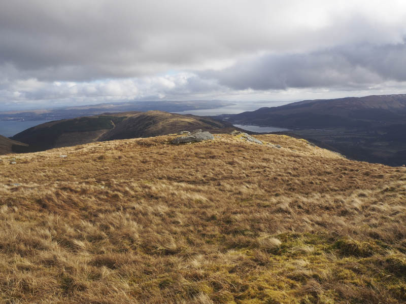
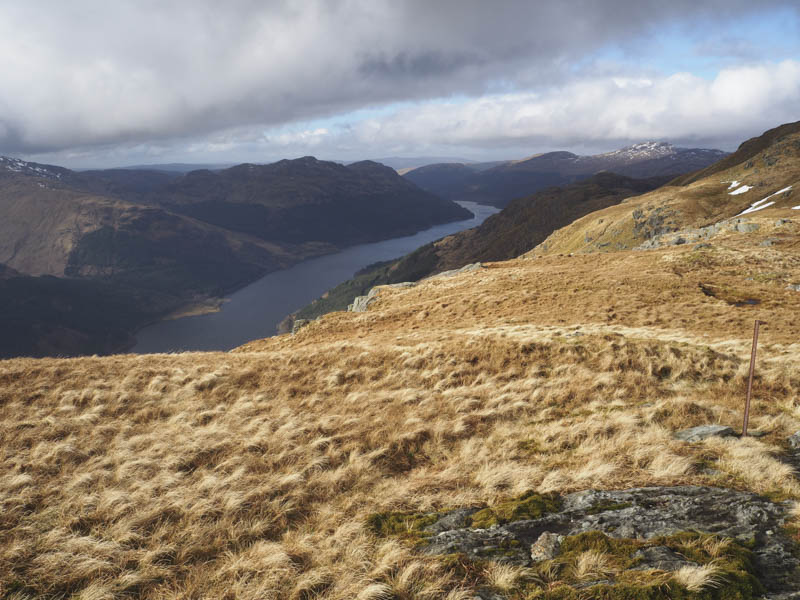
Higher up we stayed right to avoid the crags then it was onto Beinn Ruadh South Top, a Sub Simm.
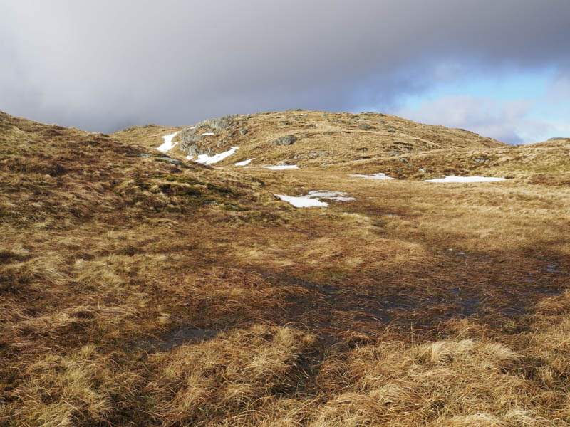
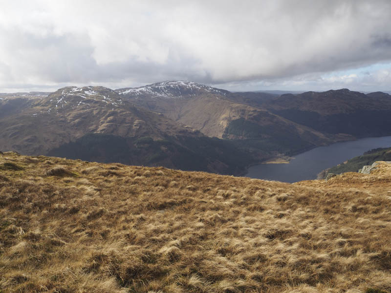
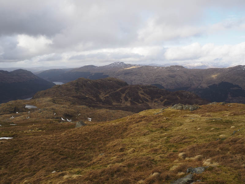
A slight drop followed by an easy stroll of around 750 metres took us to Beinn Ruadh’s trig point then to the rock a further 60 metres north which marked the summit of this Graham.
The return was by the upward route although we did descend from the South Top via a gully slightly to the north of the ascent route.
- Time taken – 3.25 hours.
- Distance – 5.5 kilometres.
- Height climbed – 665 metres.