Cnoc nan Each – The starting point for the ascent of this hill was the parking area at the old quarry on the north side of the A890 Lochcarron to Achnasheen Road west of the road bridge over the Fionn-abhainn. I crossed this bridge then walked north along the vehicle track towards Coulags Lodge. Prior to reaching it I went over wooden slats at the side of a locked gate in a deer fence then passed through an unlocked gate, over a rusted one and onto a vehicle track below Cnoc nan Each.
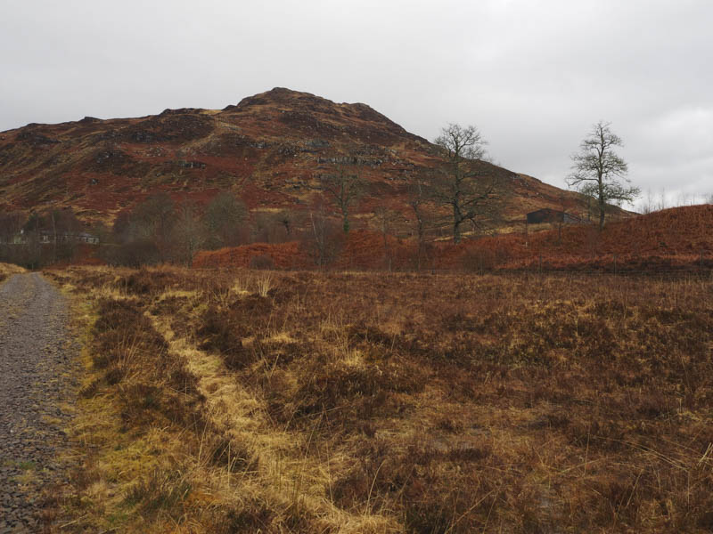
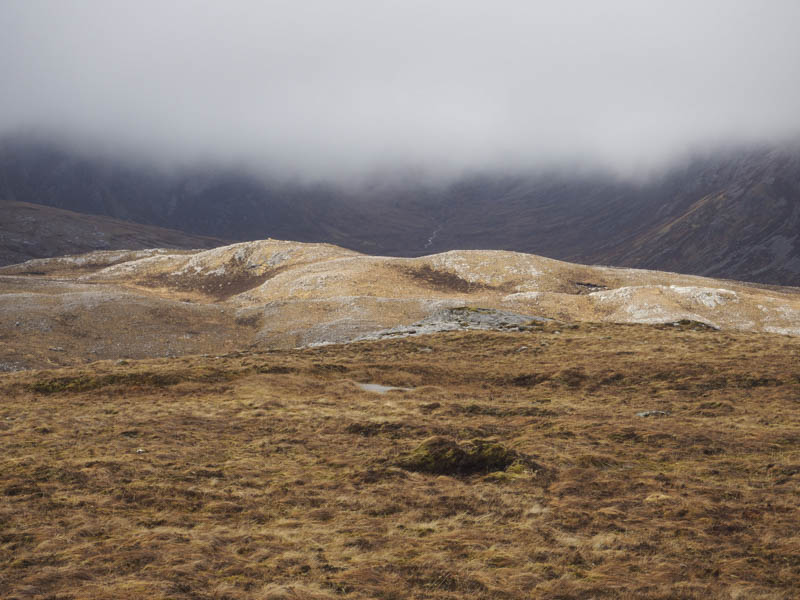
This track soon ran out and became more of a rocky path so I left it and climbed north-east through heather, grass and dead bracken, of which there were lots, and during a rain shower onto the summit of the Tump, Cnoc nan Each, marked by a cairn.
I descended west, there was less bracken this way although the ground was steeper, to reach a deer fence which was followed to beside the vehicle track on the east side of the Fionn-abhainn. There was no gate to access the track so I crossed the fence and followed the track, and the route avoiding Couglas Lodge, back to the main road and my car.
Carn Eite and Carn Odhar – After Carn nan Each I drove east along the A890 Lochcarron to Achnasheen Road to Achnashellach parking on the south side of the road where there was room for several vehicles if parked at right angles. A couple weren’t which reduced the space available.
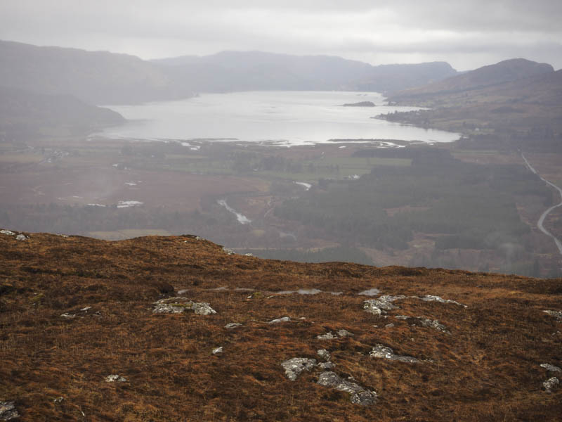
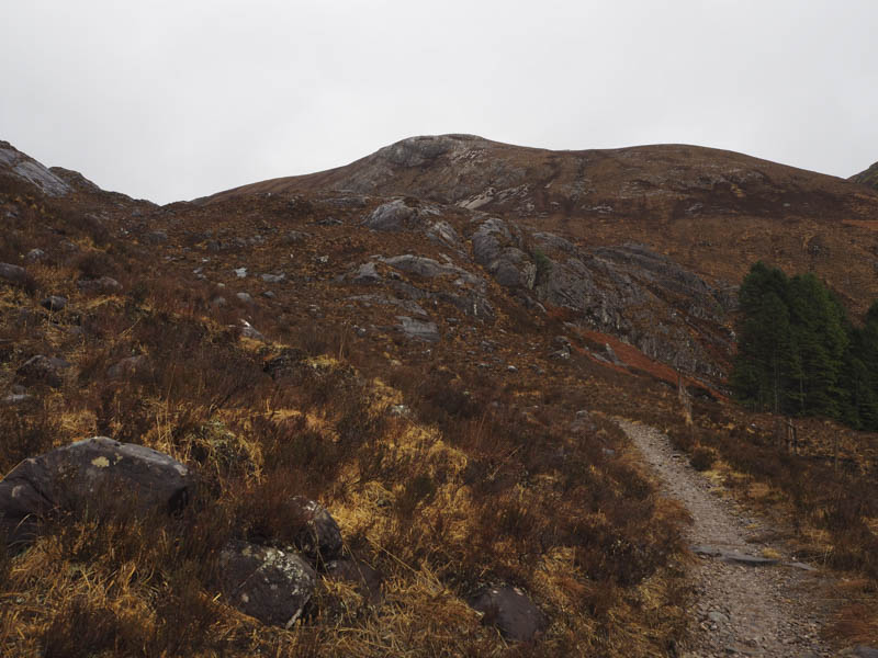
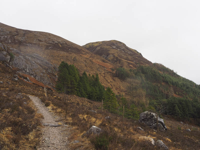
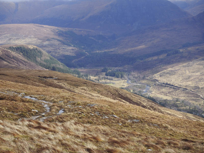
I crossed the road and walked up the track to the station where I went over the railway line at the official crossing point. Once on the other side it was a short walk north-east to a junction of tracks where I went left and followed a forest track north-west to the signposted route for Coire Lair. This took me to a wicket gate and onto the path on the east side of the River Lair. Here I met a couple who told me the conditions higher up weren’t great and that the streams were in spate. Fortunately I wasn’t planning on crossing any.
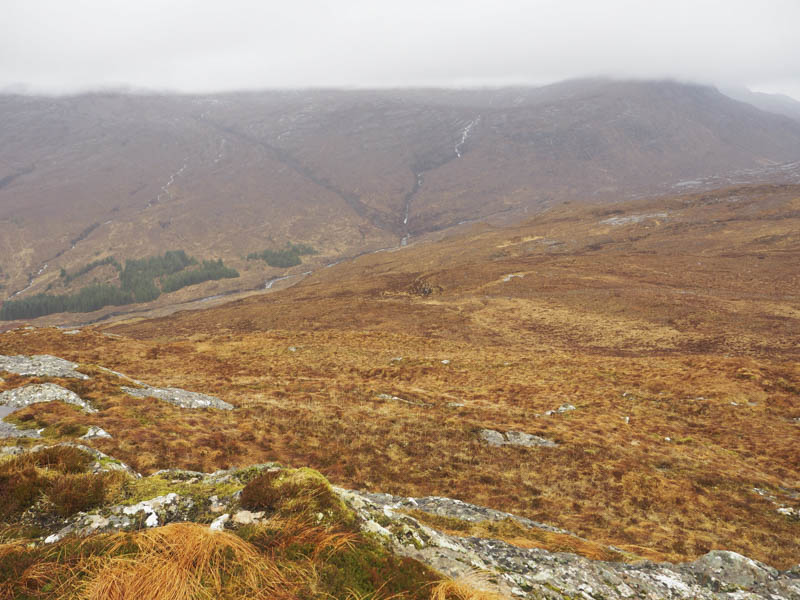
The path left the riverside and I steadily gained height as the path wound its way towards Coire Lair.
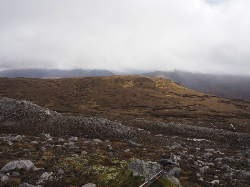
At NG993496 I left the path and worked my way north-east through heather, grass, boulders and below some crags onto the open hillside where the gradient eased. Here I was exposed to the strong wind and more rain before crossing stony ground to a boulder marking the summit of the Tump, Carn Eite.
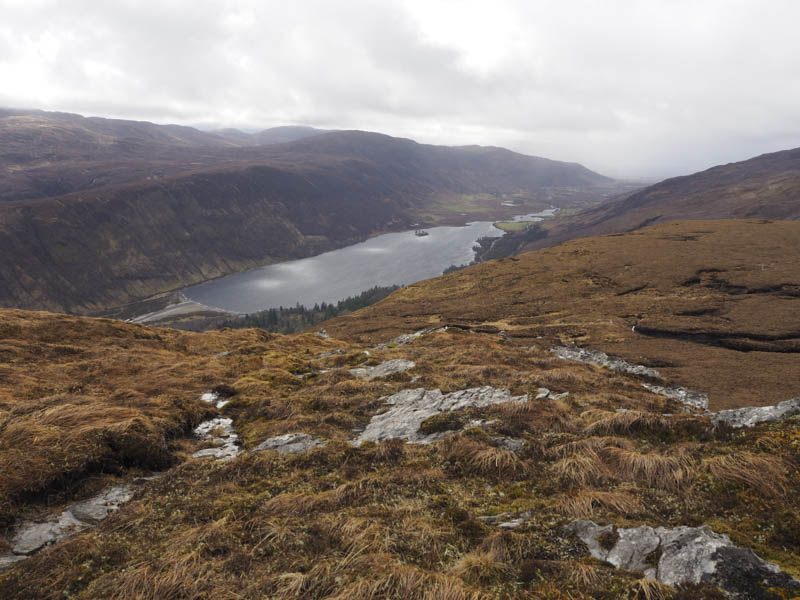
Buffeted by the wind I descended south-east to join a rough vehicle track which took me through some boggy ground then east and close to the summit of the Tump, Carn Odhar. There was a cairn here but the highest point was difficult to ascertain.
I retraced my route back to Carn Eite, the Coire Lair path then the starting point.
- Total time taken – 4.5 hours.
- Total distance – 13.25 kilometres.
- Total height – 810 metres.