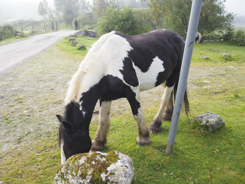
I drove to the Highland Riding Centre at Cougie, south of Glen Affric, and accessed along an untarred road from the hamlet of Tomich. There appears to be no objection to parking in the vicinity of this centre where the ponies were roaming free one coming close to the car.
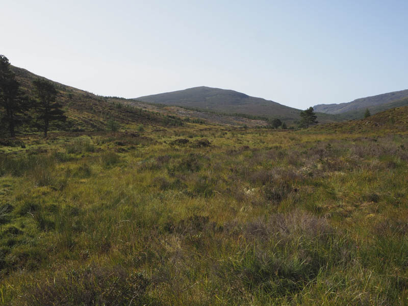
In the mist we set off south-west along the vehicle track on the south side of the Allt Riabhach and at a junction of tracks took a left but this track soon came to an end. We walked through rough, tussocky and wet ground, crossed the stream and joined the track on the north side Allt Riabhach. It would have been easier to have taken a right at the junction and crossed the stream via a substantial bridge. The mist had now lifted and the sun was out.
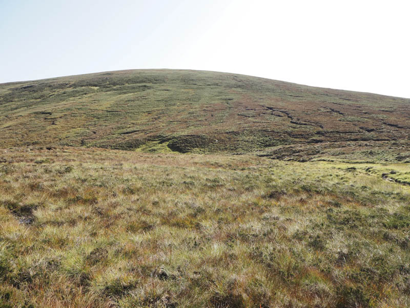
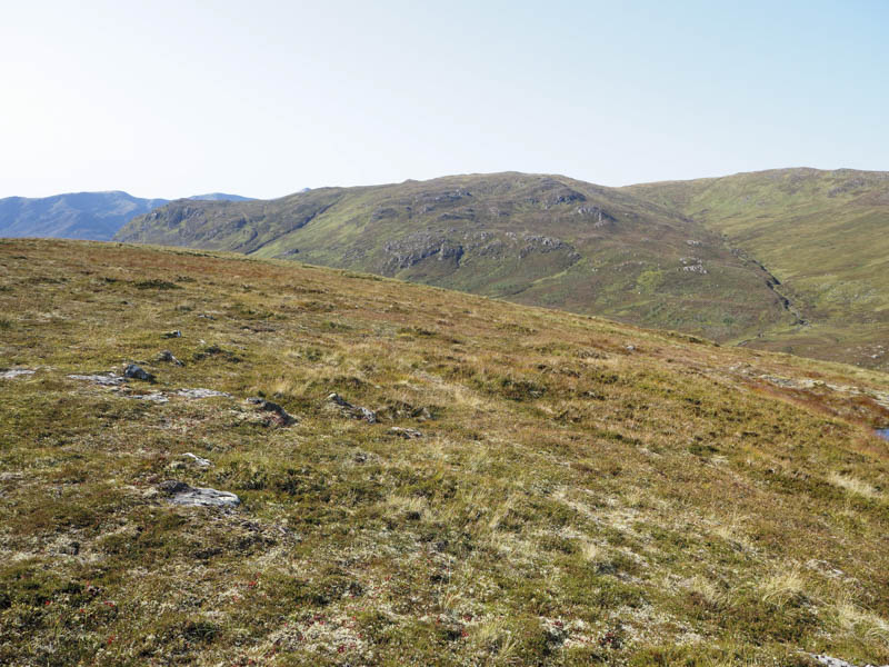
This rough vehicle track was boggy and flooded in places so some short deviations were required to avoid the worst of the conditions. The track was later reduced to a path as we headed towards its highpoint At a ford on the Allt a’ Choire Bhuidhe we left the path and made a short descent south-east on grass before continuing in the same direction as we ascended across heather to the summit of the Graham Top and Hump, Meallan Odhar, visiting both highpoints.
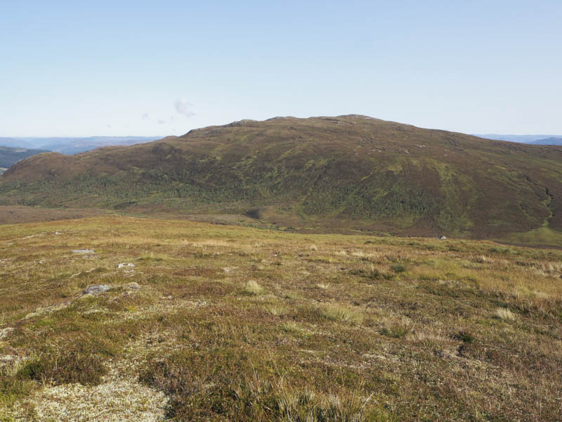
After around forty five minutes sitting around the summit enjoying the fine sunny weather we returned by the upward route but lower down continued along the track on the north side of the Allt Riabhach to reach the start at Cougie.
- Time taken – 5.25 hours.
- Distance – 13 kilometres.
- Height climbed – 400 metres.