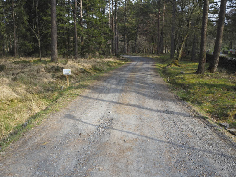
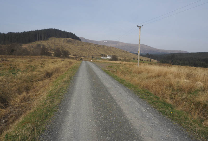
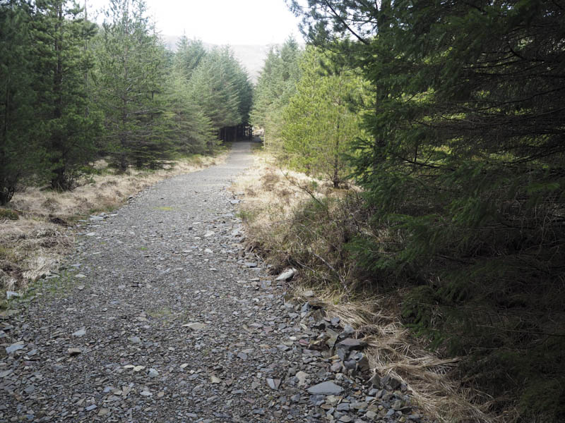
I left my vehicle in the car park at Forest Lodge accessed along the single track road from Polharrow Bridge on the A713 north of New Galloway. I then followed the sign-posted route for Corserine which took me through the forest, where some areas had been harvested, passed the house at Fore Bush, and along the track that ran between Lochs Harrow and Marnoch.
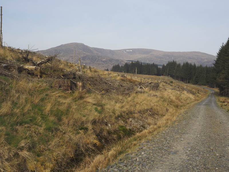
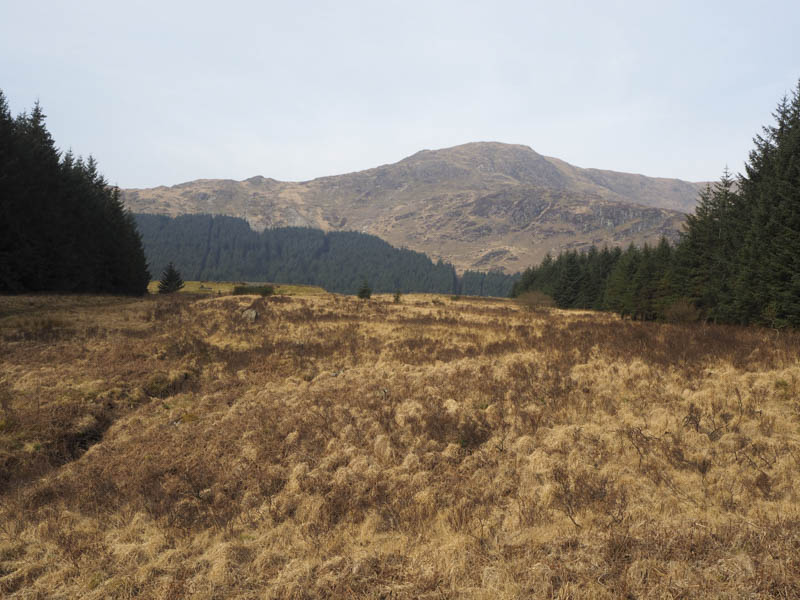
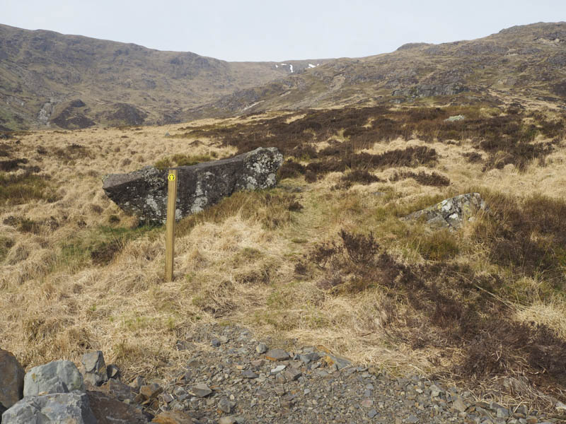
At a bend in the forest track the old path had been replaced by a hard core track narrowing just before it exited the forest. Here the final sign indicated the route up the open hillside, an obvious path rising above the north side of the corrie.
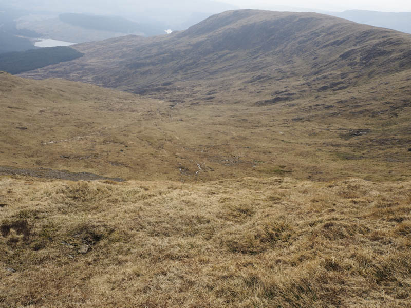
The path was mainly dry and led to a shelter cairn just above the corrie.
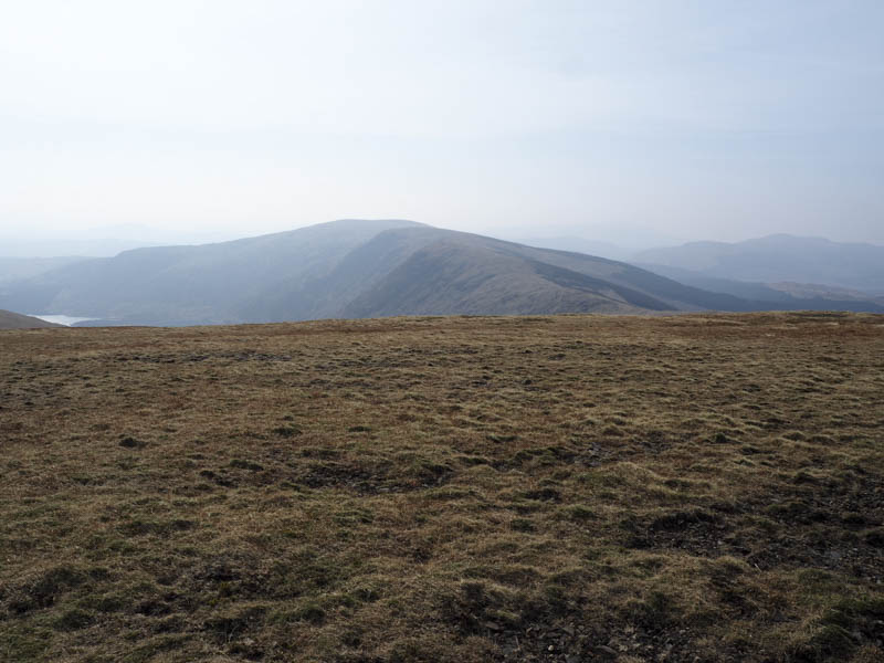
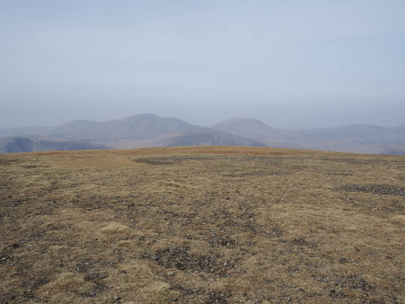
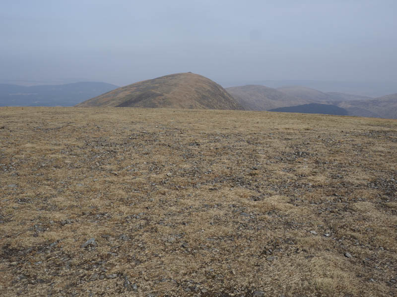
It was then an easy walk to the summit trig point of the Graham, Corsernie, where I met a couple of locals.
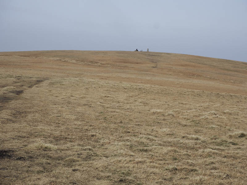
As I was about to set off on my return to Forest Lodge using the upward route a runner and a mountain biker arrived at the top.
- Time taken – 3.75 hours.
- Distance – 13.25 kilometres.
- Height climbed – 695 metres.