I left my car on the north side of the A832 Garve to Achnasheen Road at the start of the vehicle track situated between Corriemoillie Lodge and Corriemoillie Farm. I then walked north along this track crossing a locked gate in a deer fence then passing through a couple of stock gates to the east of the farm buildings.
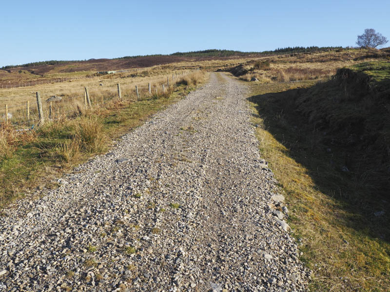
At a right hand bend on this track, which led to Corriemoillie Wind Farm, I left it, passed through another two stock gates and onto a grassy track.
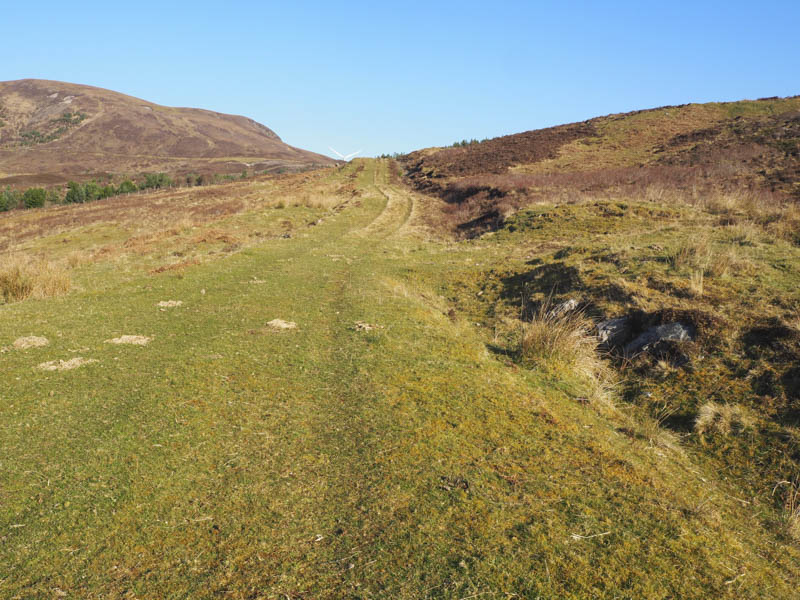
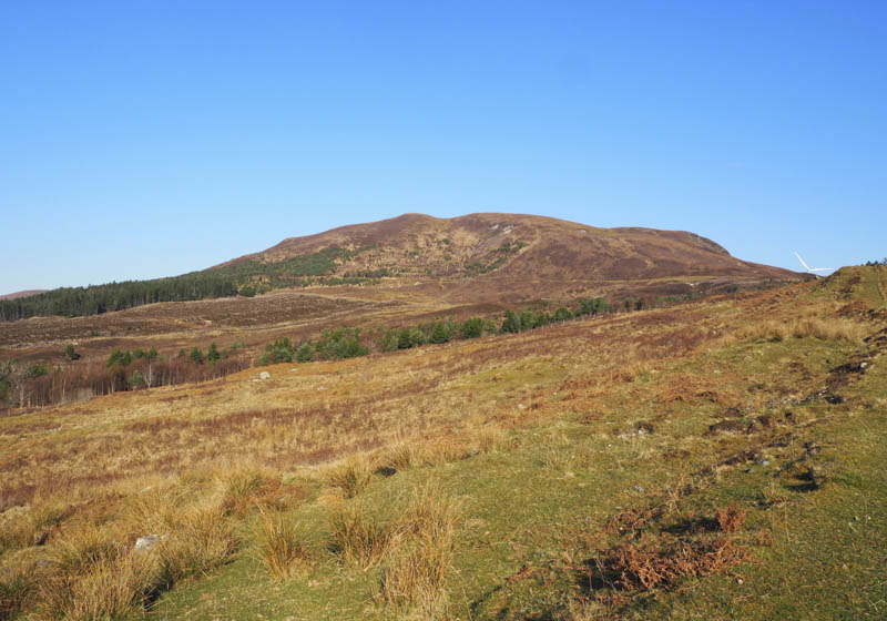
This led to a gate in a deer fence and into a small plantation of young fir trees. Here I crossed the almost dry stream bed just below the dam on the Allt Coire Mhuilidh where the track ended. Once through an open gate I commenced the ascent of Beinn a’ Bhric through a mixture of heather and grasses keeping to the south of some rocks. Higher up a deer fence was crossed before in a cold wind I reached the small cairn marking the summit of this Hump. I also visited the west top for better views.
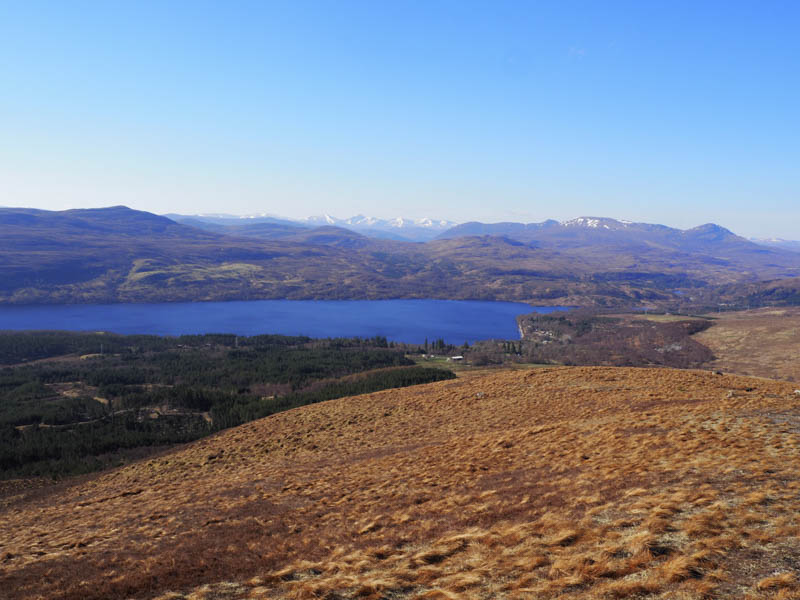
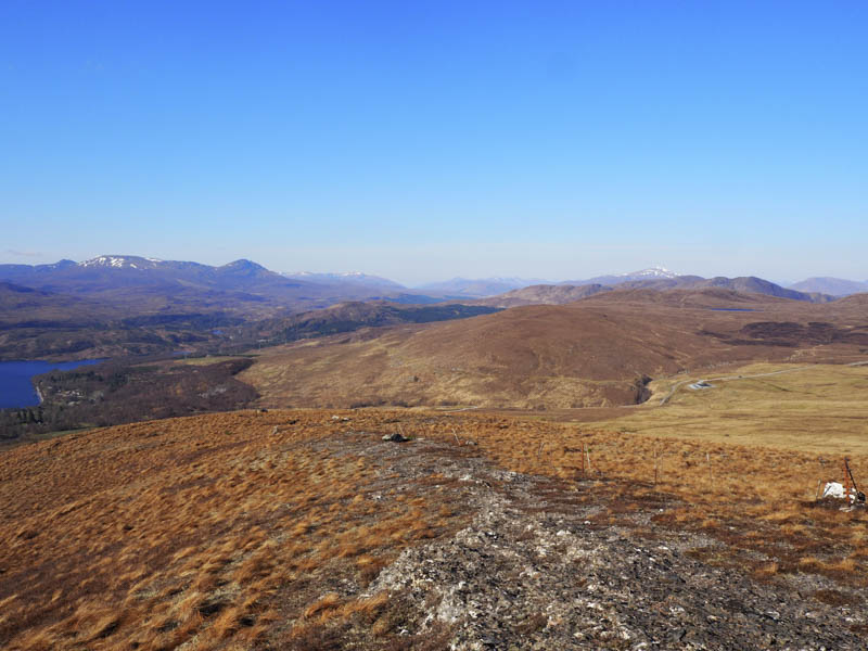
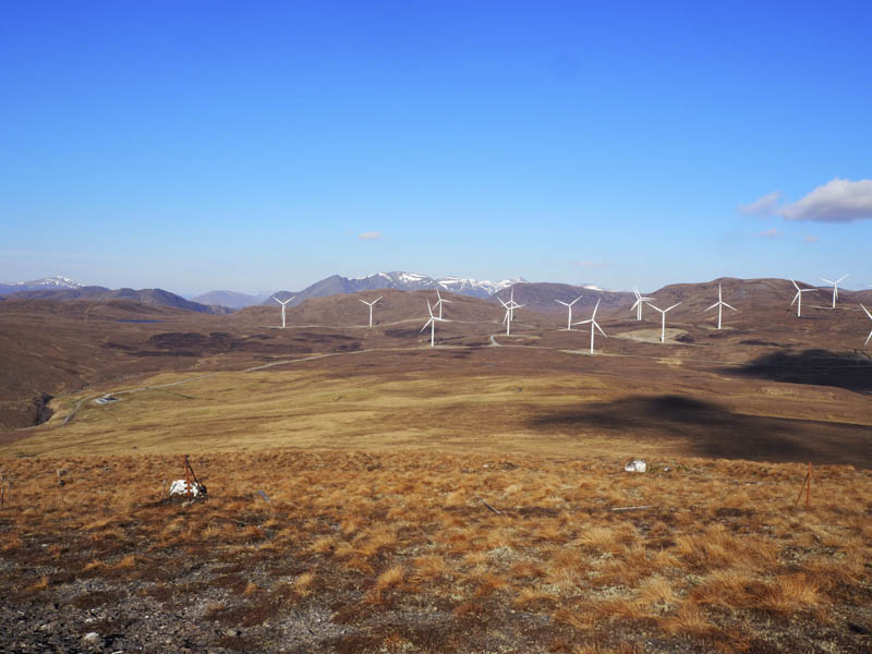
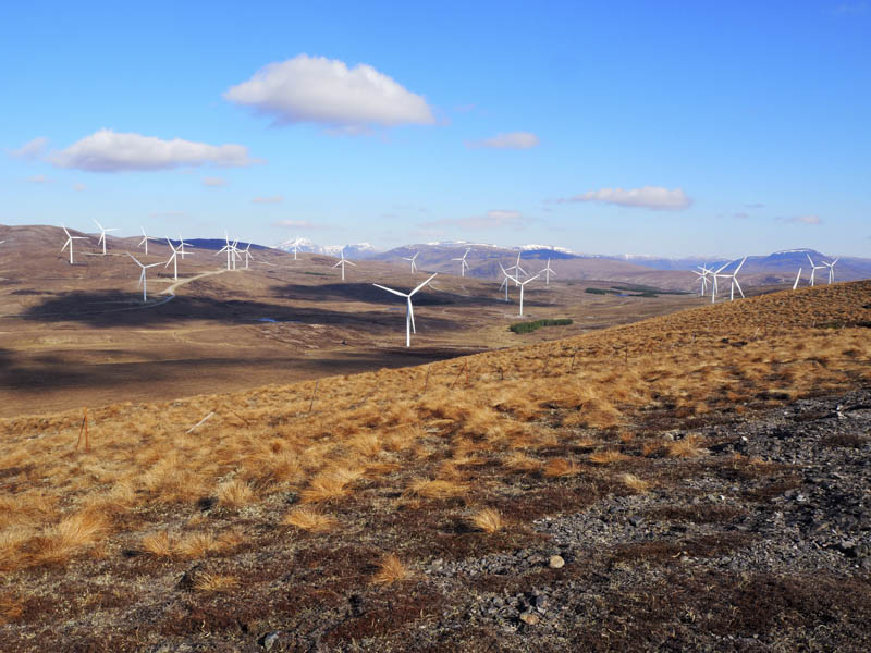
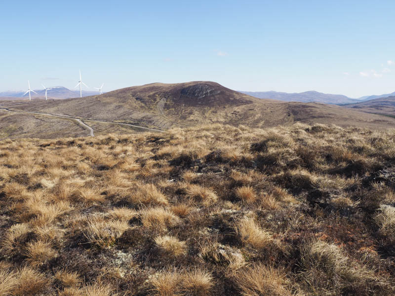
I returned to and crossed the deer fence before descending north-east to Corriemoillie Wind Farm constructed in and around the harvested Corriemoillie Forest. I climbed over another deer fence then walked along access roads within the wind farm crossing the Allt Coire Mhuilidh via a substantial bridge. Beyond I left the wind farm tracks and commenced the ascent of Beinn nan Cabag through some brash and crossing another deer fence. On reaching the summit of this Hump there were some good views ruined by the wind turbines.
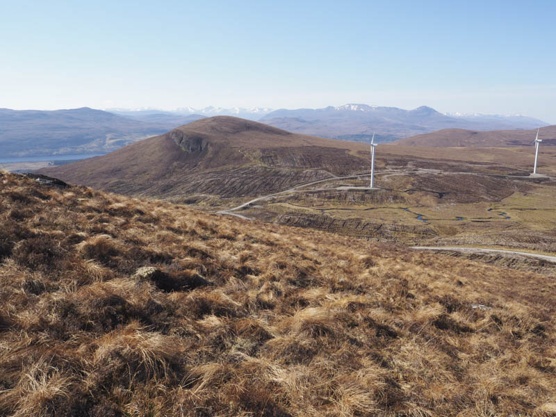
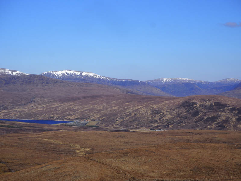
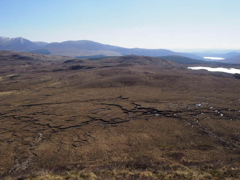
From Beinn nan Cabag I descended south-east, crossed some boggy ground, walked round a few knolls, and ascended Carn Bad Leabhraidh.
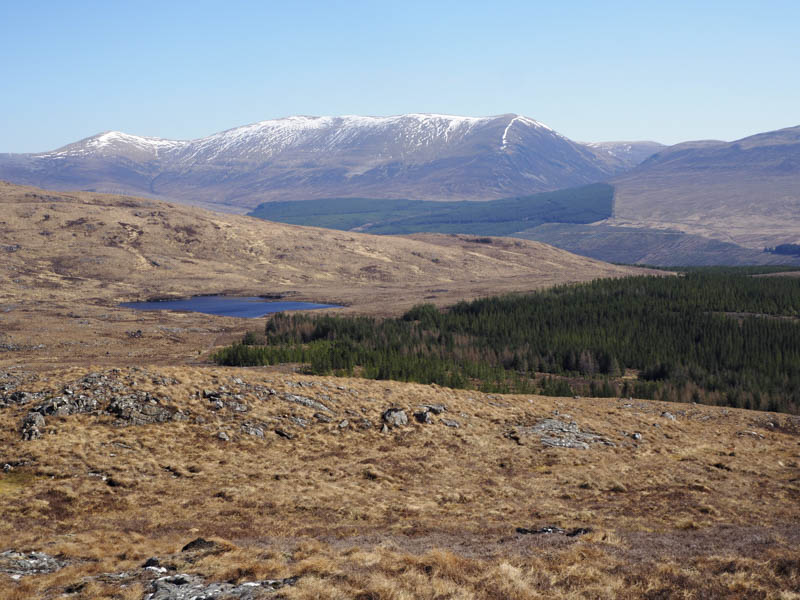
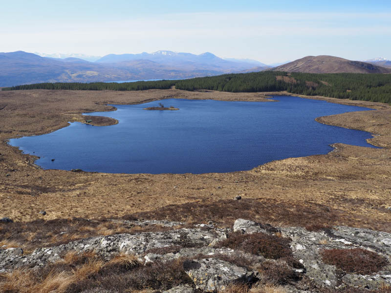
The descent south-west from this Tump led to the boat house at Loch Bad Leabhraidh where a vehicle track took me onto the Corriemoillie Wind Farm track which was followed back to the start.
- Time taken – 5 hours.
- Distance – 10.5 kilometres.
- Height climbed – 585 metres.