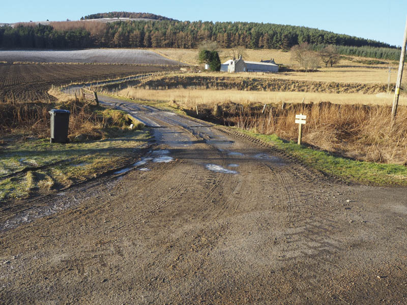
With a reasonable forecast I headed for the Correen Hills, north of Alford in Aberdeenshire, to revisit the Sub 2000 Marilyn, Lord Arthur’s Hill and on this occasion make it a circular walk taking in a couple of lesser tops. From the A944 at the Bridge of Alford I drove north along a minor road to Tullynessle then a single track road leading to Terpersie Castle where just before the road leading to Dubston Farm I left my car on an area of waste ground.
I walked along this farm road, well the verge as the track was icy then it was even icier passing through an area of woodland where I used the rough vegetation at the side of the track.
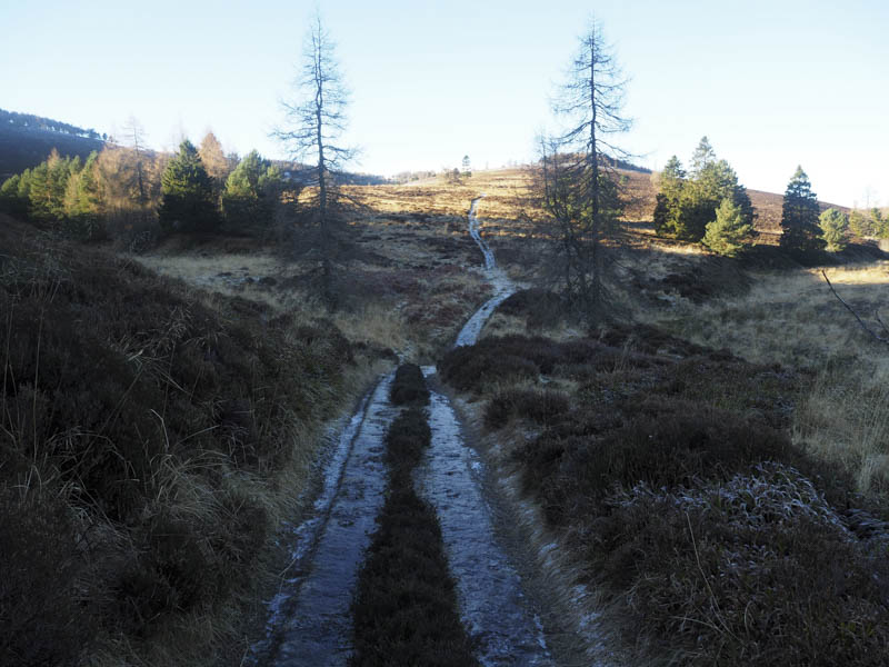
These conditions prevailed until I was below Fouchie Shank where the path had a thin covering of soft snow making for easier walking.
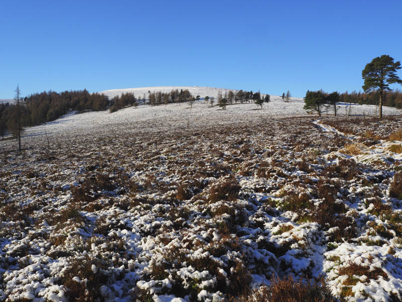
It was a steady climb up the Shank and with height gained there was more snow to contend with. The path then passed through some scattered trees before the snow became ankle deep but there was a trail to follow created by a couple of females whom I met at the cairn on Lord Arthur’s Hill.
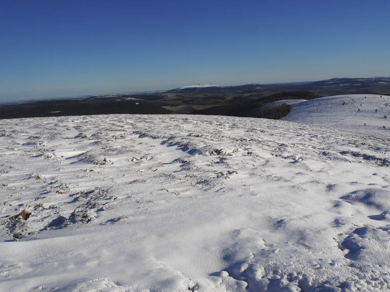
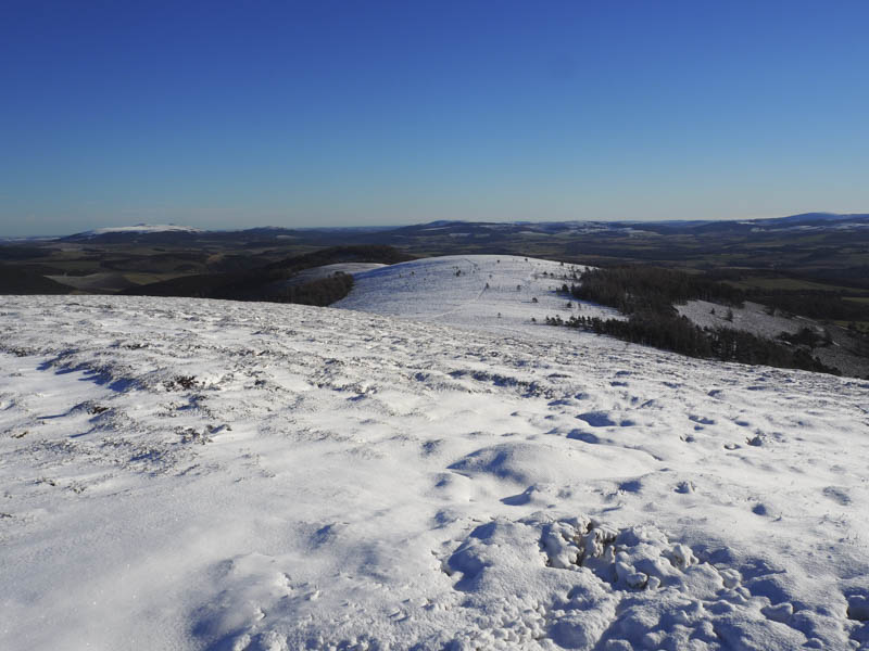
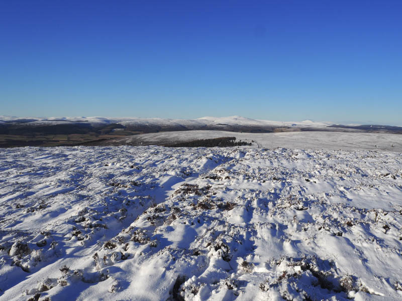
I also visited the trig point before descending north-west to a vehicle track that led passed the Wood of Logie and towards Brux Hill.
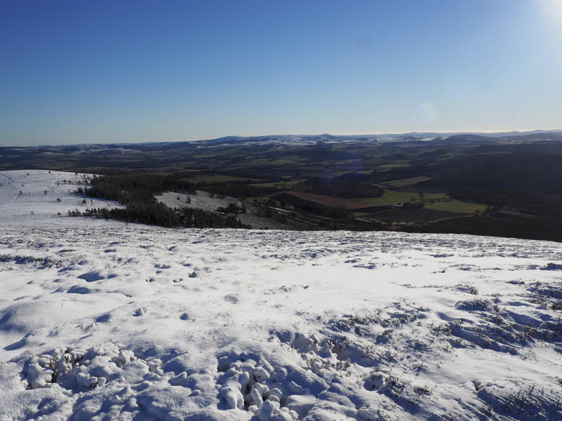
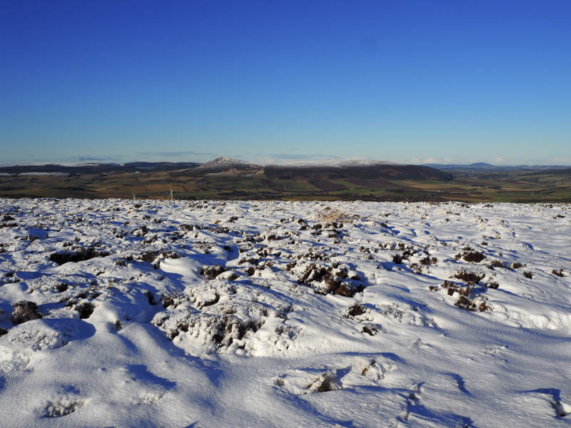
The route along this track was made easier by the fact that some mountain bikers had earlier broken trail. On a couple of occasions I left the track to visit what I thought were the high points of the Tump, Brux Hill, one was marked by a cairn, but I couldn’t tell which was the highest point.
I continued along the track below Badingair Hill then climbed through long snow covered heather to the summit of the Tump, Clova Hill, marked by a trig point.
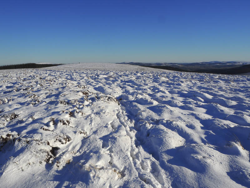
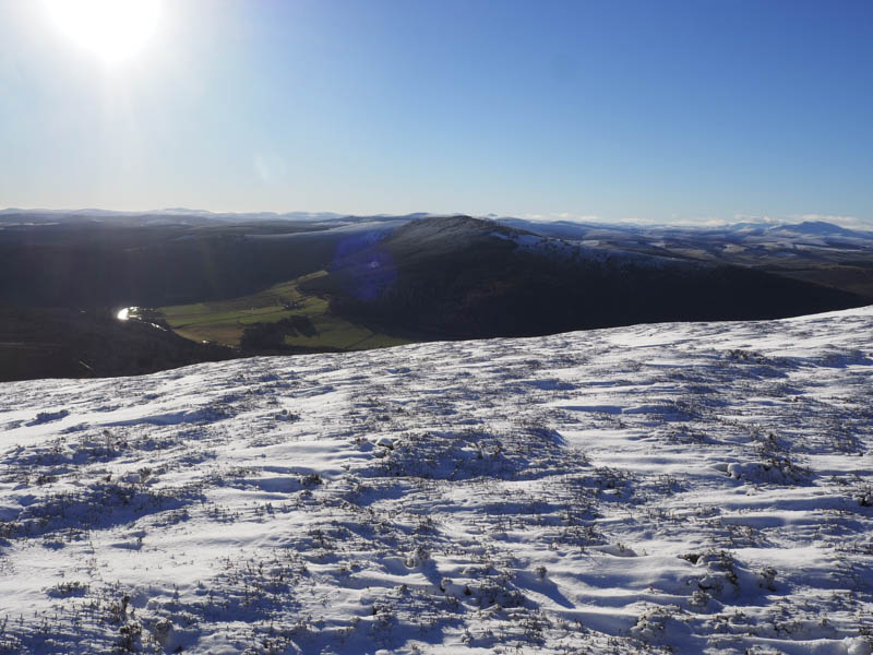
A track used by mountain bikers was then followed to a stock fence immediately before a pile of boulders which appeared to be the summit of Mire of Midgates.
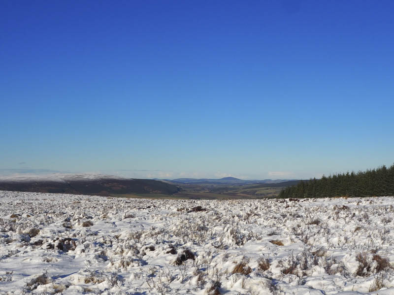
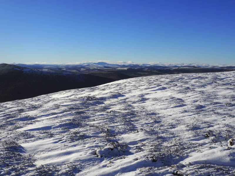
After visiting this pile of boulders I re-crossed the fence and descended south, following quad vehicle trails, to join the vehicle track that passed the disused quarry and below Hillock of Terpersie then to the crossing the Blacklatch Burn. Here I rejoined the track below Fouchie Shank and followed this icy route back to my car.
- Time taken – 5.5 hours.
- Distance – 18 kilometres.
- Height climbed – 540 metres.