There were a few options for the approach route to the Corbett Tops, Beinn Bhreac Mhor and Carn Ghriogair. I had initially thought of starting from Coignafearn at the end of the public road in Strath Dearn but opted for the Glen Mazeran approach, a shorter drive down the Strath, reached from Tomatin, south of Inverness.
I left my car on a large area of hardcore ground on the north side of the road bridge over the Glenmazeran Burn. To avoid the Lodge I walked south along the road for just over 500 metres to reach the access track for Laggan and Culrain. (NH74822241) On walking down this track I passed the front of one of these properties but it was unlikely the occupants weren’t aware of my presence due to the barking dogs held in the nearby kennels. I located a little used vehicle track and this led to the Glenmazeran Burn and the footbridge (NH74522250) which wasn’t visible from the track beside the house.
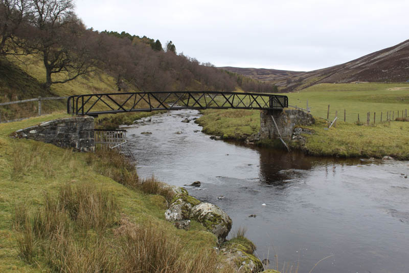
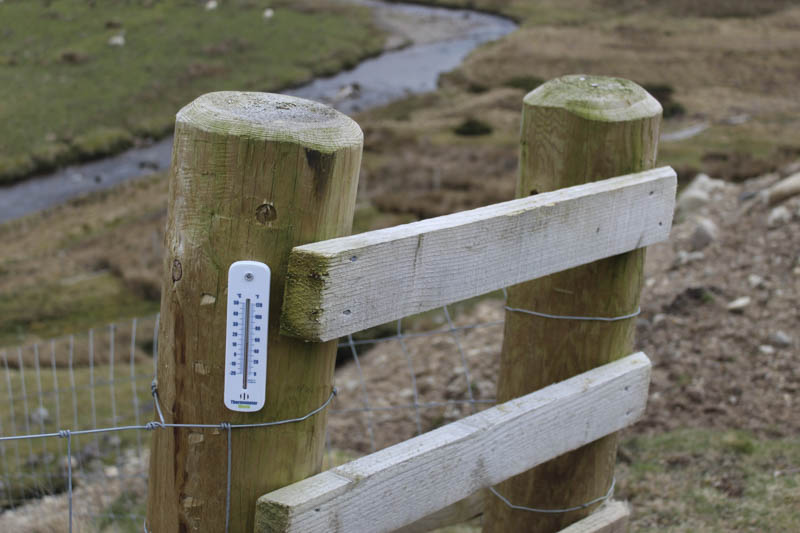
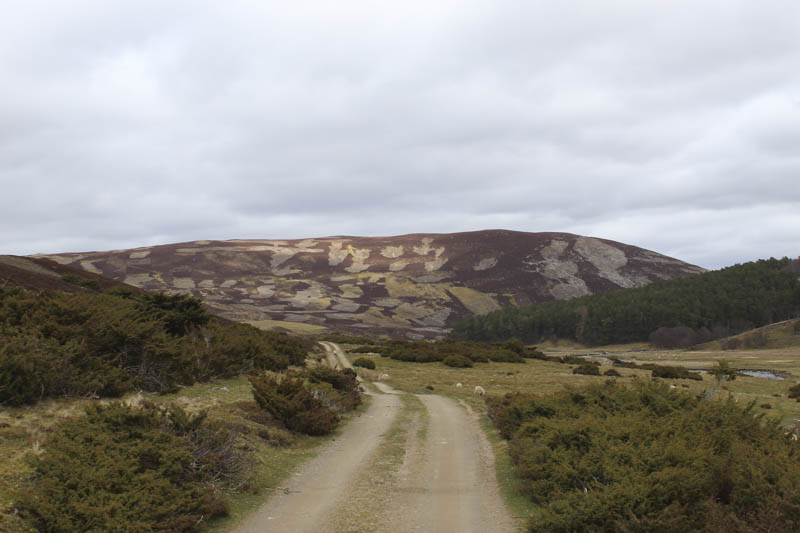
The bridge was crossed then it was through a wee gate, and along the edge of a stock fence to an ATV track which joined the estate track from Glen Mazeran Lodge near a gate in a deer fence. It was a pleasant walk up Glen Mazeran, my first visit although I crossed it back in June 2021 when climbing some hills above Strath Dearn. The track was on an easy gradient and in good nick with some new fencing with one post containing a thermometer.
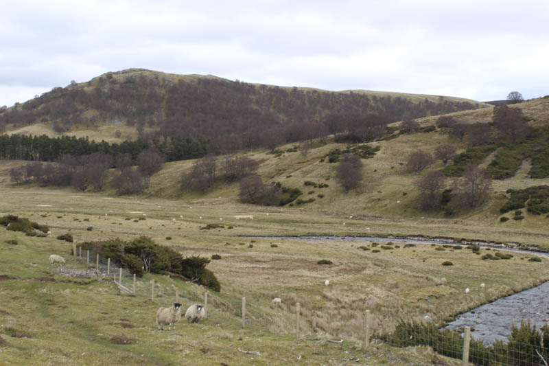
There were lots of sheep around and a few alarm calls from birds.
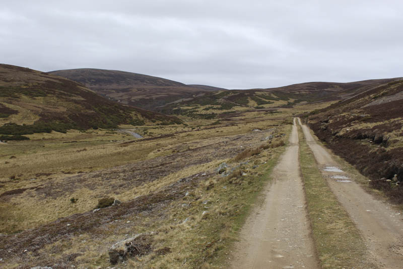
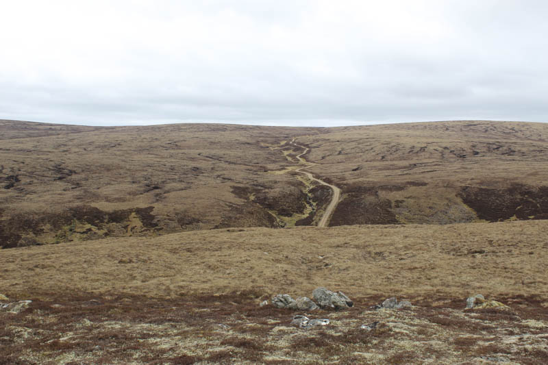
After around three kilometres and just prior to a steeper section a Land Rover came up behind me and the gamekeeper stopped for a chat. He was a pleasant enough chap but was probably just checking me out. Beyond the steeper section the gradient eased before reaching a junction of tracks at NH69232190. Here I went left, south-west, up the side of the Caochan a’ Chuil, keeping to a south-westerly direction at a second track junction. At NH68662145 the track came to an end at a footbridge over the Caochan a’ Chuil.
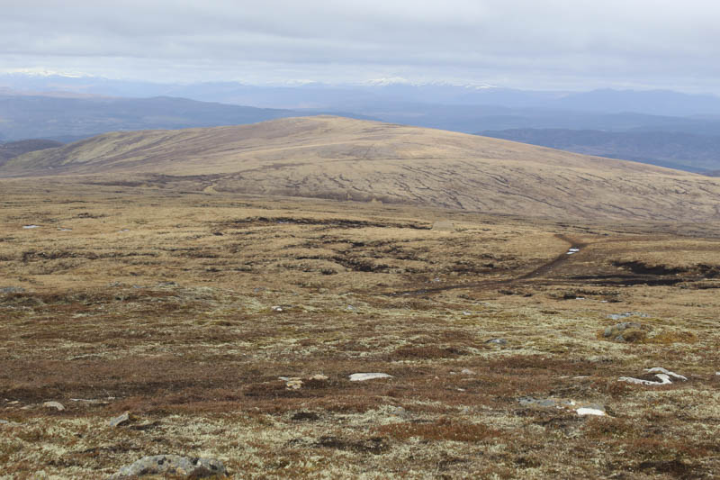
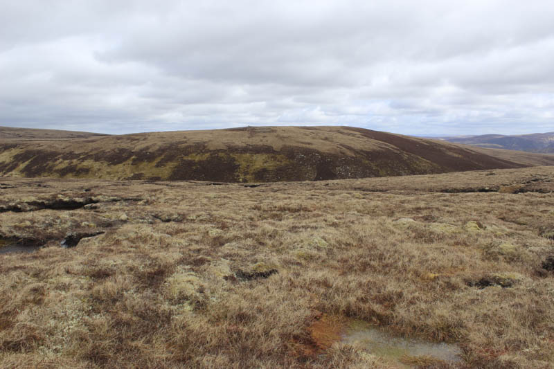
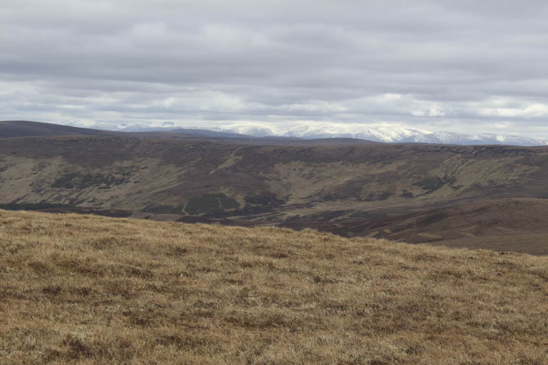
There was no obvious track on the other side of the stream so I climbed through longish heather, grass and moss working my way SSW onto the north ridge of Beinn Bhreac Mhor where the vegetation was shorter making for easier walking.
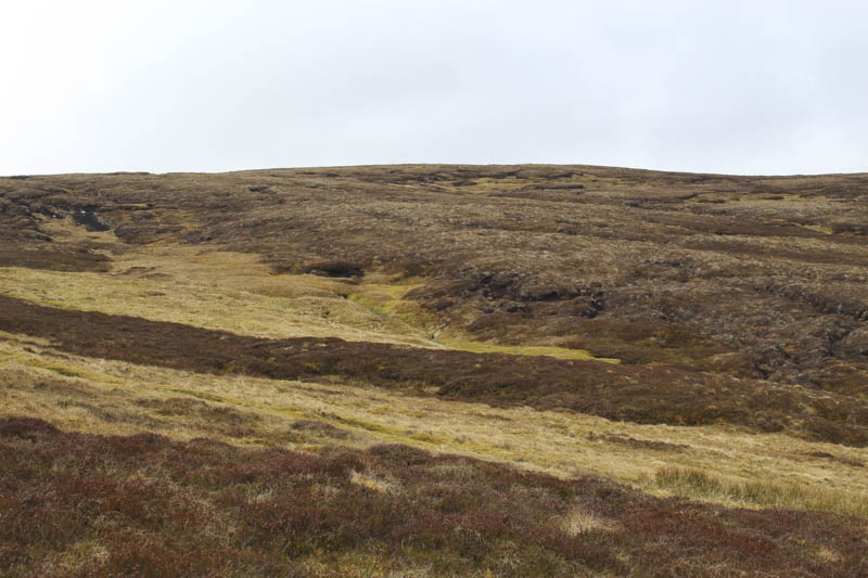
The trig point, marking the summit of this Corbett Top, was reached and despite a cool breeze I stopped here for a coffee break.
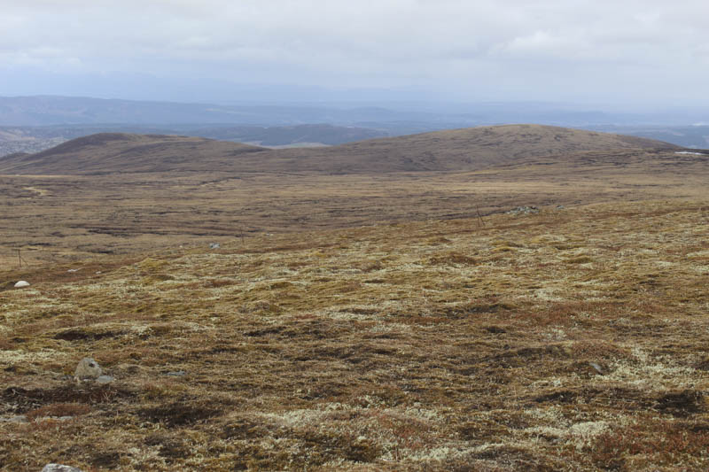
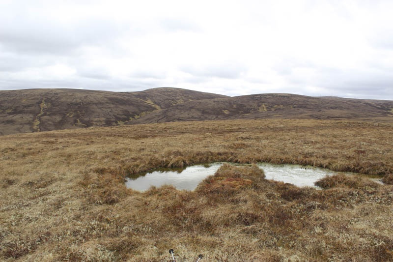
Afterwards I descended west to the col with Carn Ghriogair with its numerous peat hags and these continued on the ascent of this hill. They weren’t difficult to navigate just meant a bit of meandering or using them to make progress.
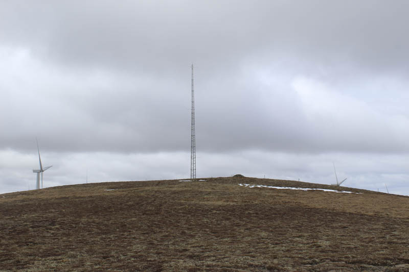
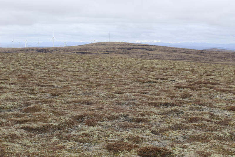
A pile of large boulders was reached but the summit of Carn Ghriogair was an embedded stone to the south-west and closer to a tall mast, part of the nearby Dummaglass Windfarm.
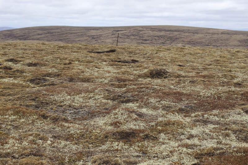
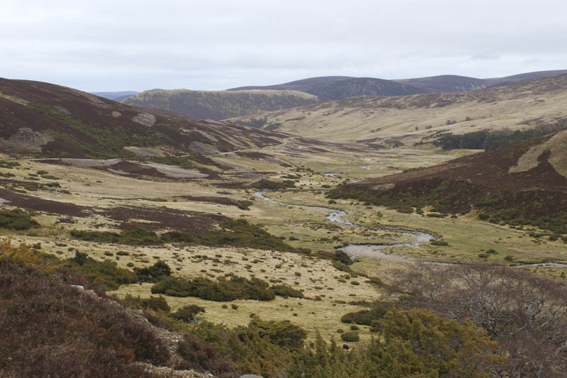
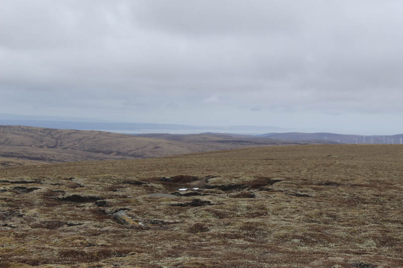
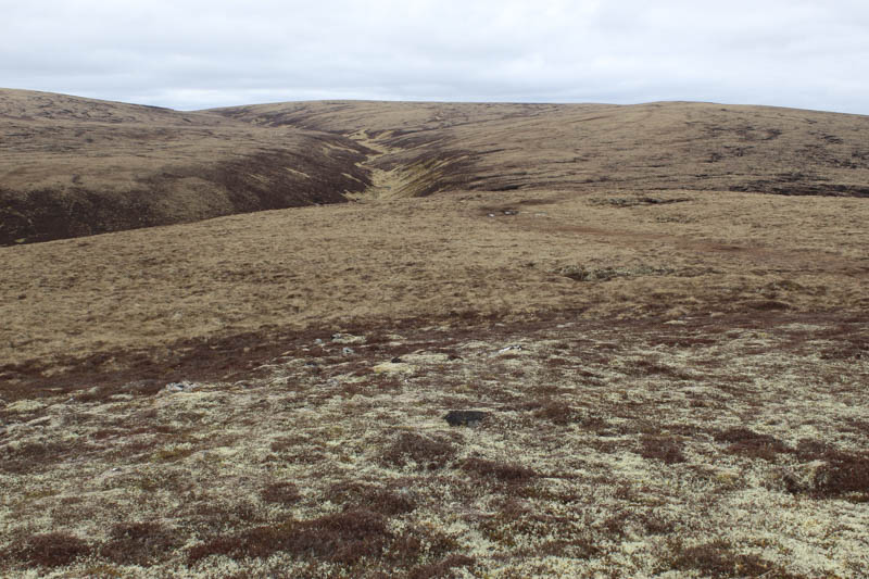
The descent north-east soon took me into more peat hags and again I used some of them to make progress. Lower down I crossed the Caochan Meadhonach then continued north-east between its gully and the 744 knoll. Underfoot here it was a bit rougher then with longer vegetation as I descended to and easily crossed the Caochan Beag an Sgianair.

This took me onto the Glen Mazeran Estate Track (this section not shown on my map) beside the bridge over the Allt Feith an Sgianair. (NH68532255)
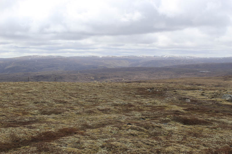
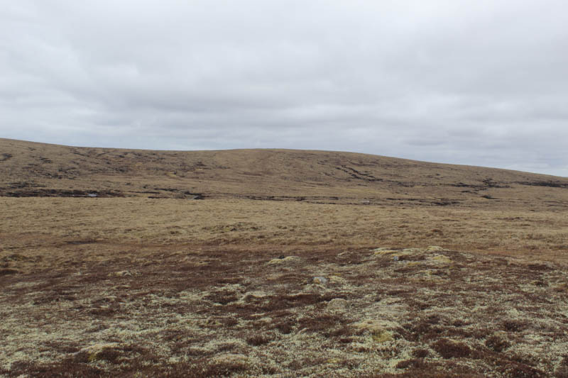
Once over this bridge I left the track and climbed steeply through grass and heather, the gradient later easing as I headed for the summit of Carn an Sgianair crossing some caterpillar tracks. A grassy mound marked the highpoint of this deleted Sub Simm.
The caterpillar tracks were then followed to the junction of tracks in Glen Mazeran at NH69232190 where I rejoined the estate track for the five kilometre walk back to the start via the outbound route.
- Time taken – 7 hours 15 minutes.
- Distance – 24.75 kilometres.
- Height climbed – 710 metres.