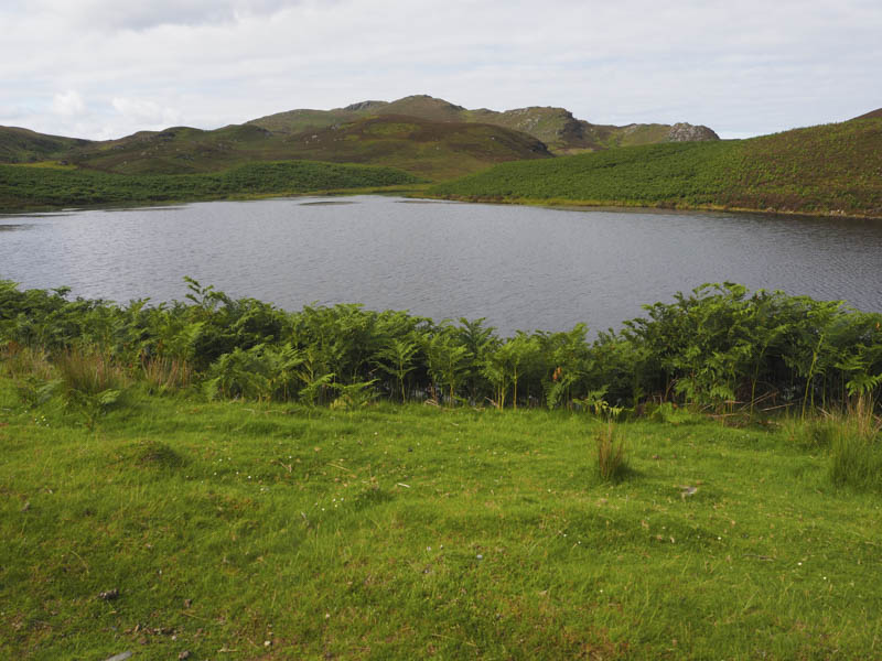
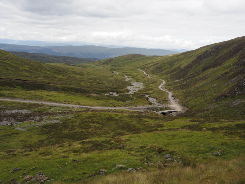
I parked beside the cattle grid on the B862 Fort Augustus to Whitebridge Road west of the bridge over the Allt Doe and walked west on a good path to join the road leading to Glen Doe Reservoir and Wind Farm. This ‘motorway’ rose steadily, with a few undulations, passed the Allt an Reidhean Reservoir and into Glen Doe where it followed the Allt Doe to the west. Here I was overtaken by a runner and his black lab and later a few work vehicles.
Higher up the track crossed the Allt Doe via a bridge and continued south-east into Coire Doe.
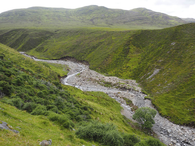
There were a few unattended construction vehicles here to repair the obvious storm damage to the track. There was also a short bypass route with a weight restriction as the track here had collapsed. The track then zigzagged uphill and here some of its edges had been washed away. Quite a bit of work required to repair this damage.
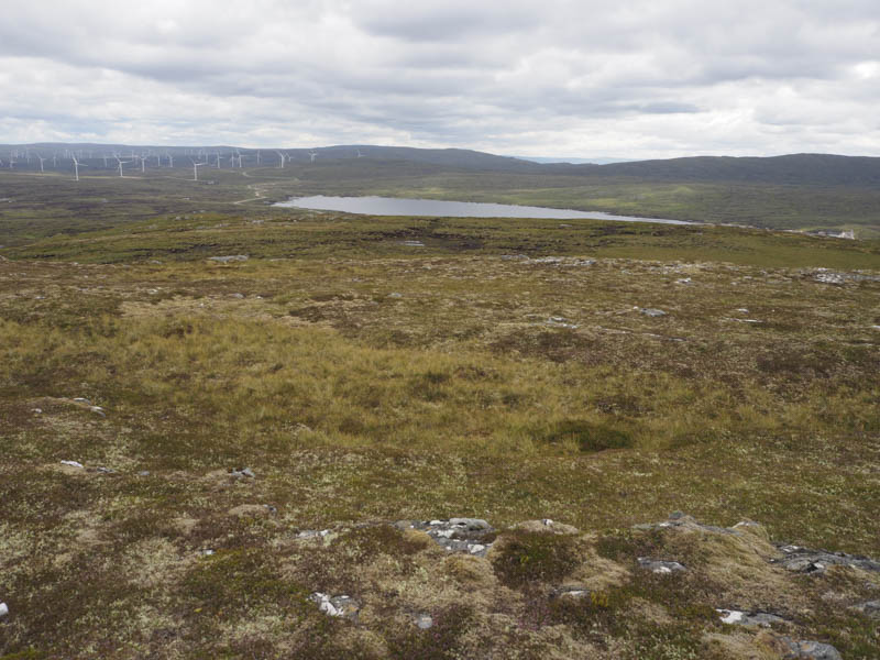
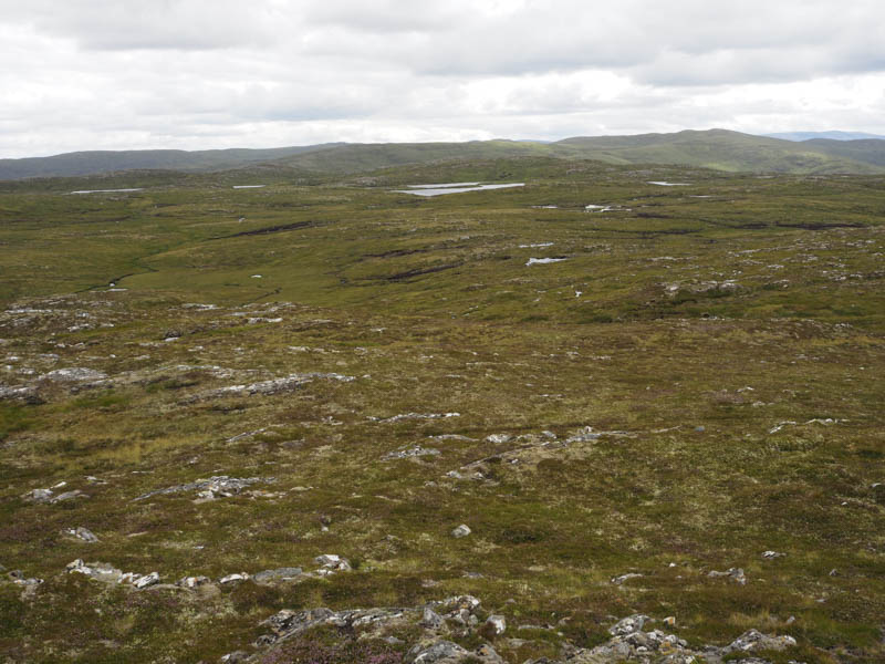
The track then wound its way round to the south side of my first hill and after over two hours I left the track and crossed around 350 metres of short vegetation to reach the summit of Carn a’ Chuilinn Far East Top. The highest point of this Corbett Top was marked by a cairn.
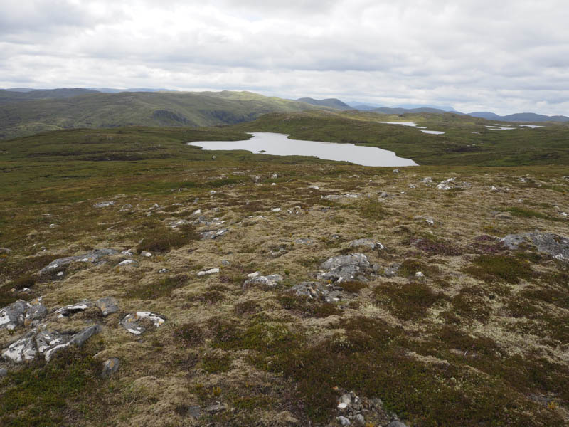
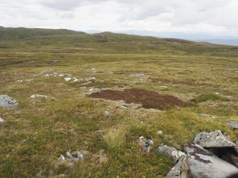
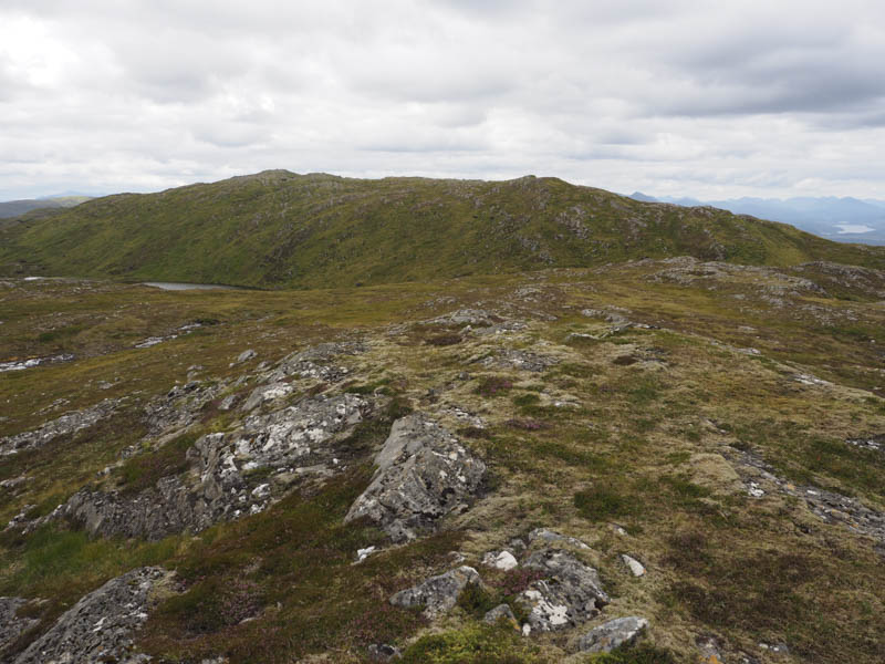
From there I descended west then south-west through some peat hags before climbing the Corbett Top, Carn a’ Chuilinn East Top, marked by a few stones.
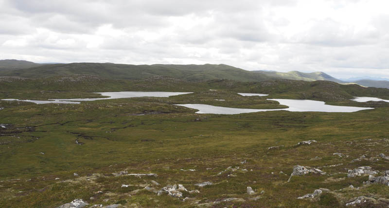
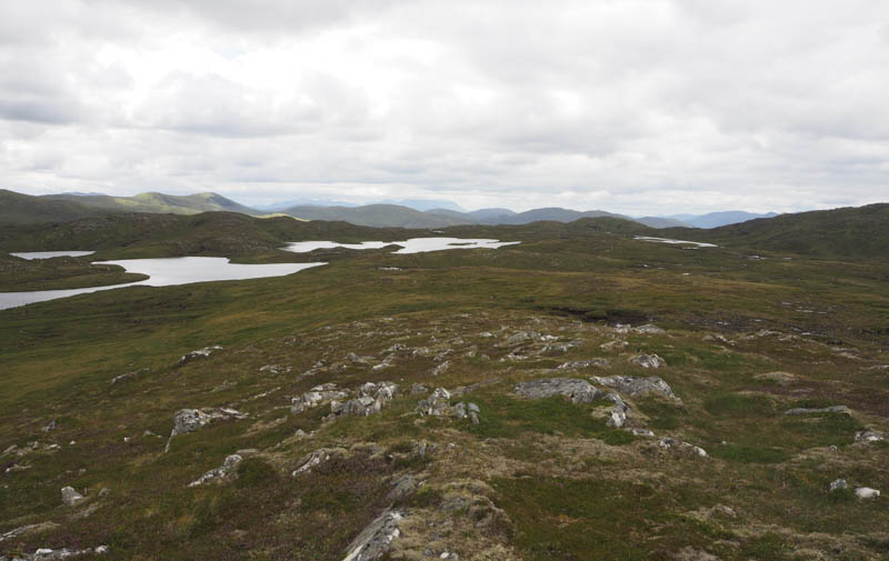
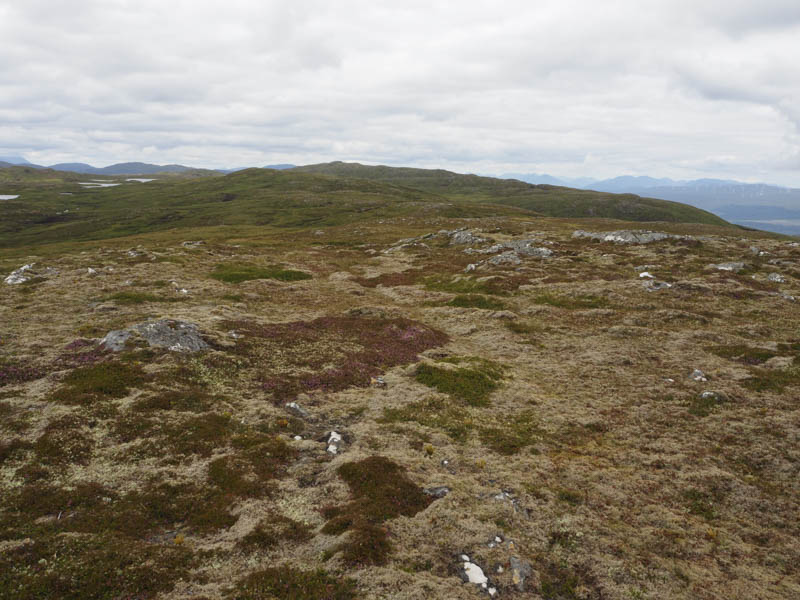
Thereafter I walked west to avoid the drop into Coire an t-Seilich then north-west through more peat hags and climbed Carn a’ Chuilinn North Top, a Sub Sim, also marked by a few stones.
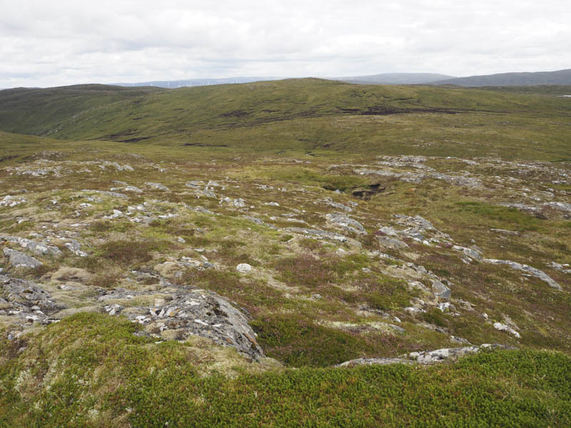

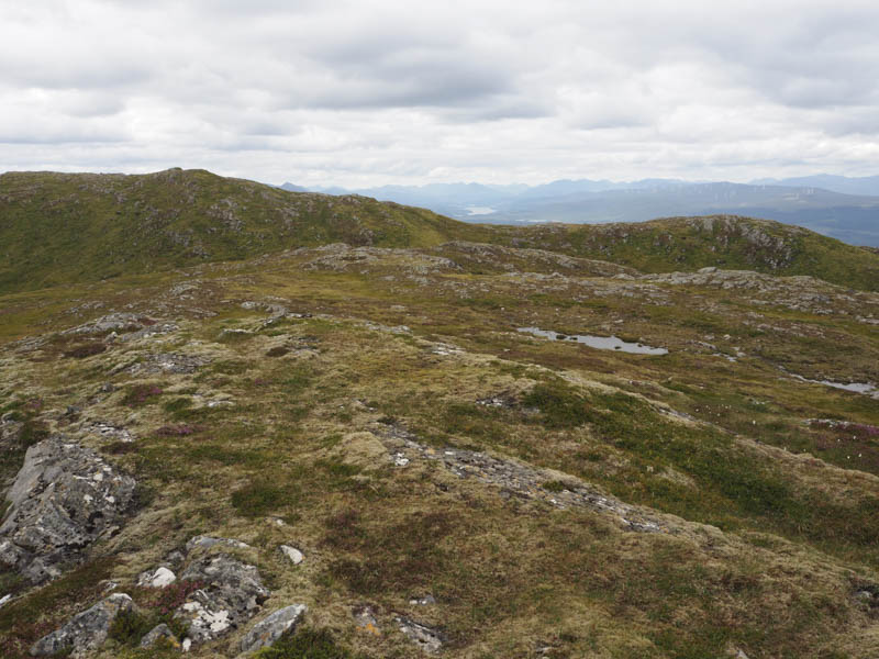
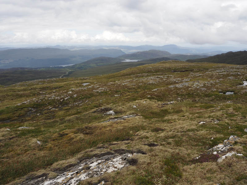
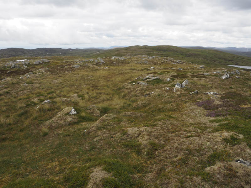
The descent NNW was easy enough through a gully containing shortish grasses but once the gradient eased the going was rough with longish vegetation before I eventually reached the Allt Doe beside the bridge I crossed earlier that day. (NH415063) I then followed the outward route back to the start.
- Time taken – 5.5. hours.
- Distance – 18.5 kilometres.
- Height climbed – 795 metres.