I was interested in climbing the Corbett, Beinn Damh, by its east ridge but with the forecast for poor weather I opted for the standard north-west ridge and to include a few tops.
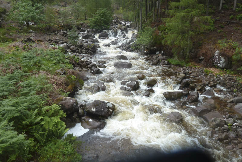
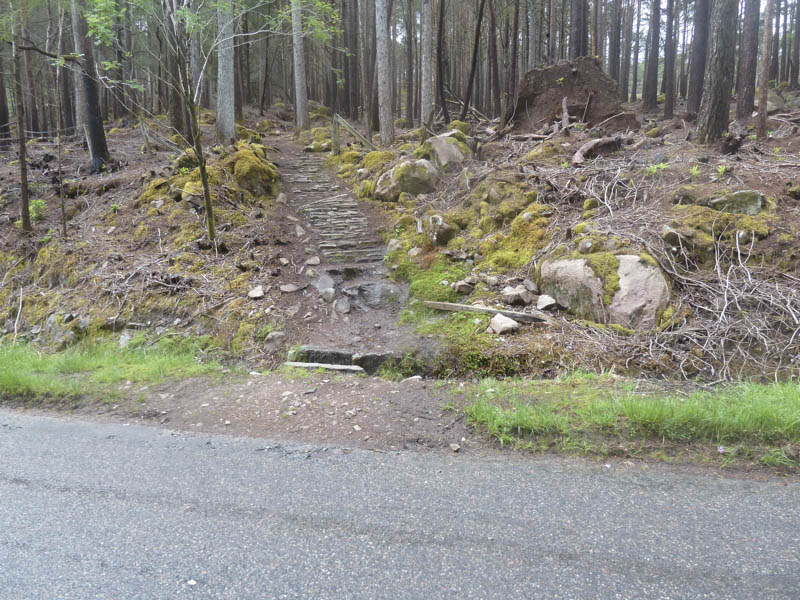
The starting point was the A896 Torridon to Shieldaig Road where I was able to get my vehicle off the road immediately east of the bridge over the Allt Coire Roill, west of the hamlet of Annat. I walked briefly west along the A896 to the start of the path into Ben-Damph Forest. This path was initially steep and led through rhododendron bushes, which had been cut back, and above the Allt Coire Roill, running fairly high after heavy overnight rain.
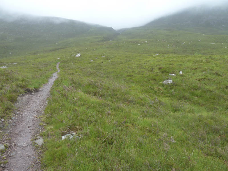
At a fork in the path I went right and this took me up the north side of the Allt an Tuill Bhain initially on a fairly good path. Higher up the path turned muddy and eroded with lots of running water. Here I entered the low cloud.
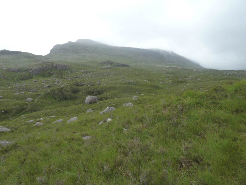
I continued up this path to a small cairn above the Toll Ban and from there walked north discovering a path which took me over the Graham Top, Meall Gorm, the summit being unmarked. A short descent north-west led to a col where a slanting path up the south ridge led to the trig point marking the summit of the Hump and Graham Top, Sgurr na Bana-Mhoraire. On a clear day this would be an excellent viewpoint but unfortunately not on this occasion.
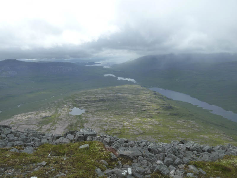
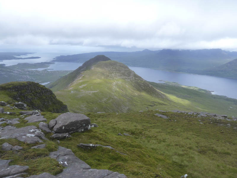
On my return to the cairn above Toll Ban there were a couple of brief views of Loch Damh but the showery, cloudy and windy weather continued as I headed south-west where a less obvious path, disappearing at a boulder field, took me onto Creagan Dubh Toll nam Biast. Here a cairn marked the summit of this Corbett Top.
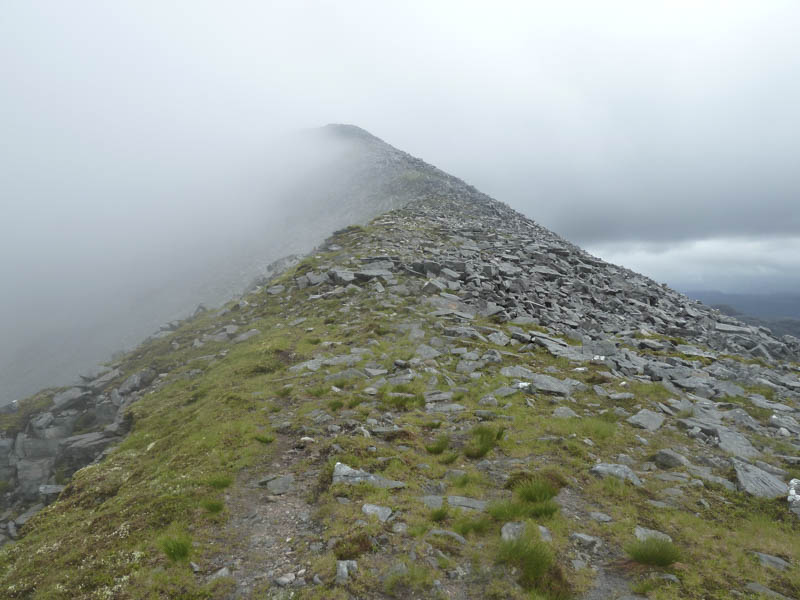
More boulders were crossed before the underfoot conditions improved slightly and I headed over the summit of the Sub Simm, Spidean Toll nam Biast, and here the ridge narrowed. I then ascended to the cairn on Spidean Coir an Laoigh, the highest point on Beinn Damh.
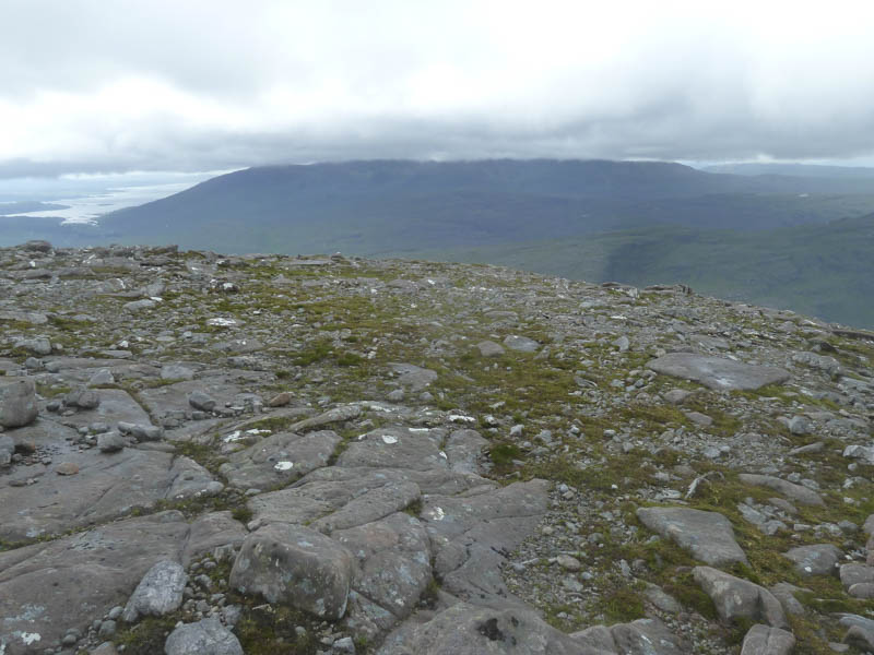
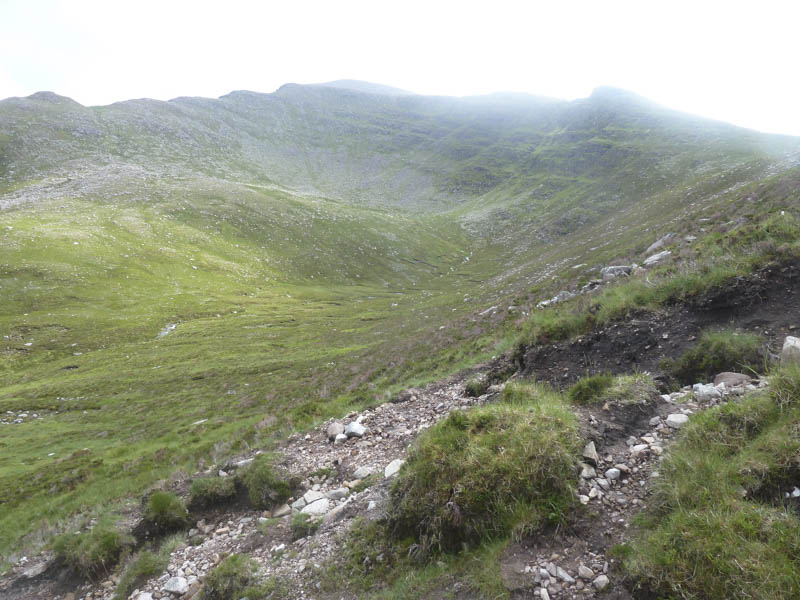
The cloud broke a couple of times but it looked unlikely to lift completely so I commenced the descent to Toll Ban meeting a group from the Torridon Youth Hostel on their ascent.
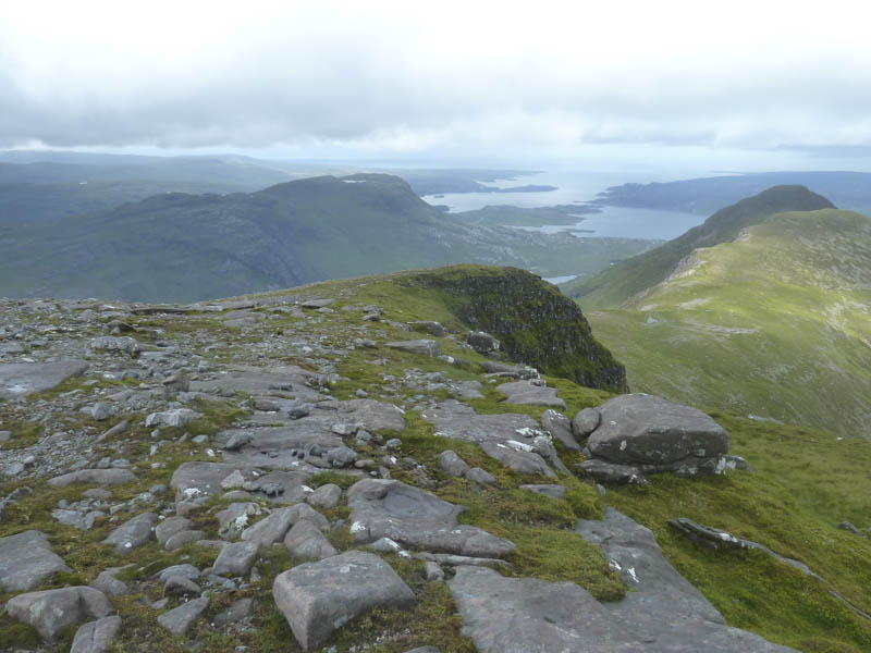
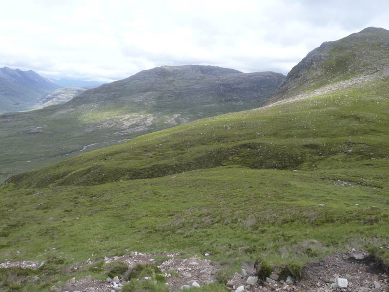
The return took me to the west of Creagan Dubh Toll nam Bieast although the path, which was cairned in places, wasn’t always obvious. By this time I was out of the cloud and had some reasonable views.
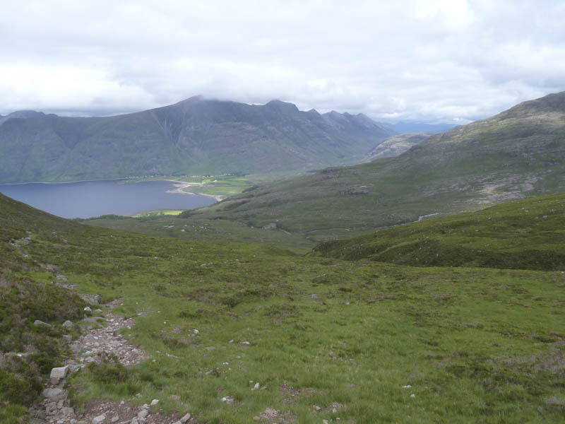
On reaching the Toll Ban I descended the path used earlier that morning to return to the start.
- Time taken – 6.5 hours.
- Distance – 13.5 kilometres.
- Height climbed – 1235 metres.