The group I was staying with near Fort William planned to climb the Corbett, Sgurr Mhurlagain, so I decided to join them. The quiet narrow single track undulating road along the north side of Loch Arkaig, accessed from the B8005 at Mile Dorcha, was busier than normal with work vehicles, vehicles occupying the passing places, and lorries extracting timber from beyond the west end of the Loch.
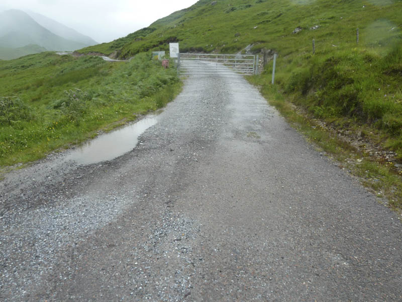
Eventually we reached the end of the public road and the car park, which was new to me. We then set off in the rain along the vehicle track towards Glen Dessarry meeting one of the loaded logging lorries leaving the glen.
On reaching the Dearg Allt a sign indicated the Right of Way for Tomdoun up the west side of this stream. This was contrary to my map which showed the path on the east side but I had been this way before and was aware of this.
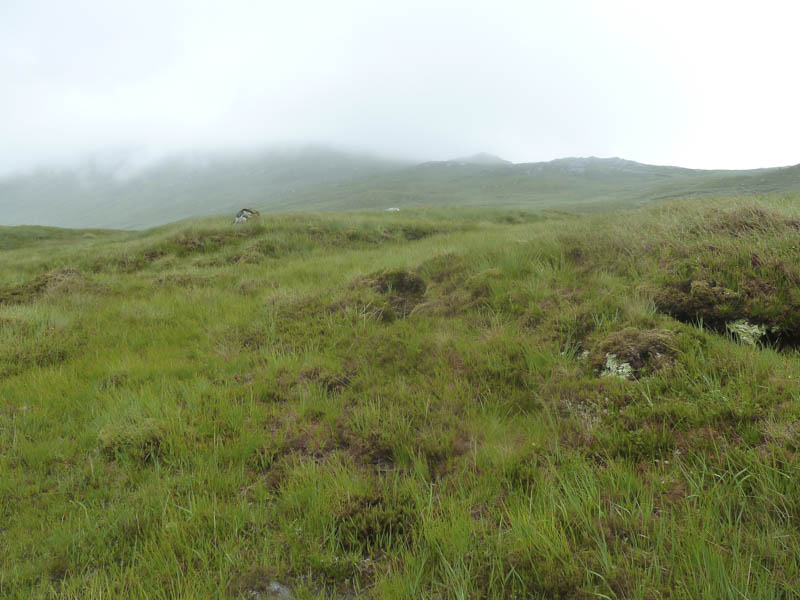
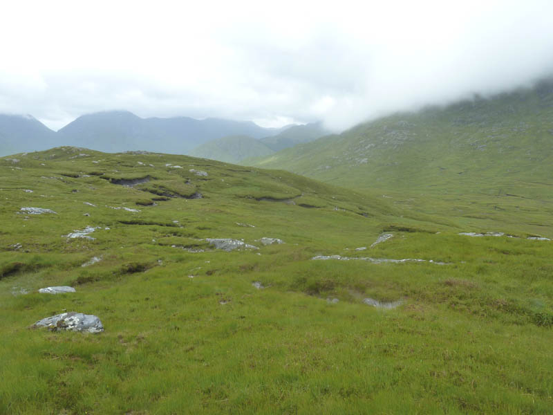
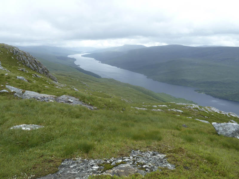
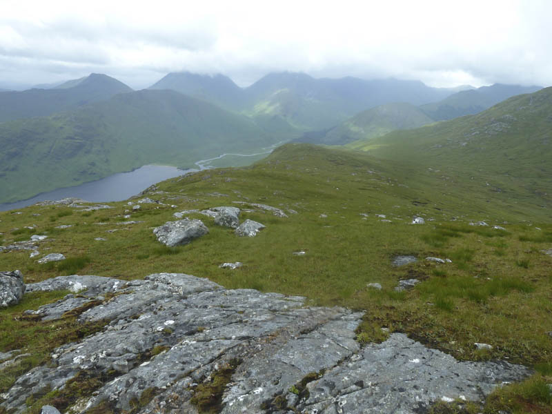
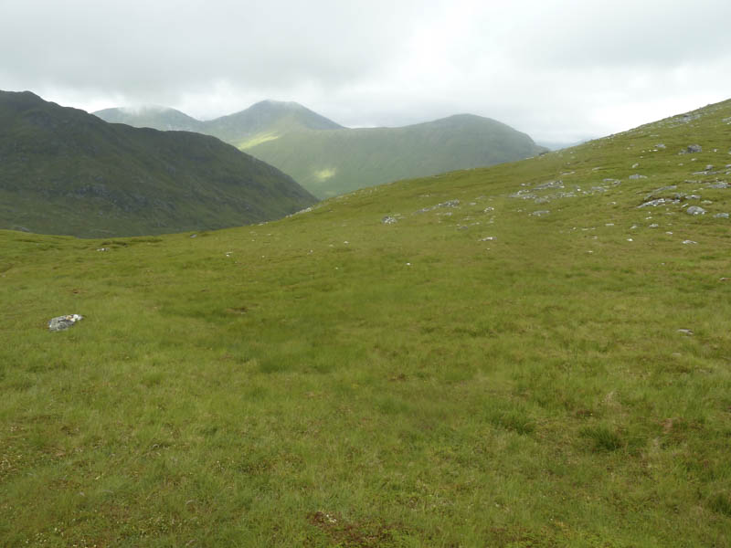
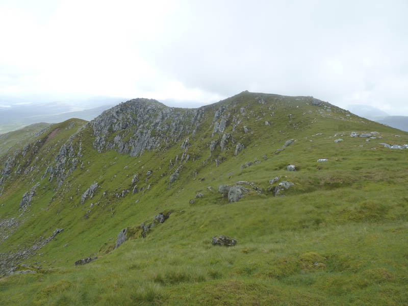
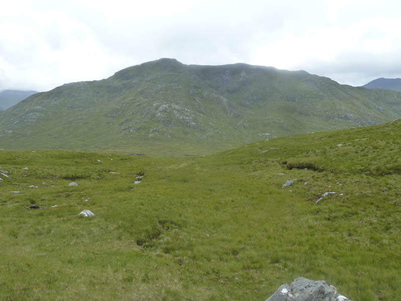
The track was wet and muddy and ran north to below the Corbett, Fraoch Bheinn, then it turned east through a wet and boggy area to return to the Dearg Allt. Once on the other side a wet quad vehicle trail headed towards the col between Fraoch Bheinn and Sgurr Mhurlagain. Rather than follow this track we left it and crossed wet vegetation to gain the south-west ridge of Sgurr Mhurlagain which we used to reach the summit cairn. It was windy here but we had a view despite the earlier low cloud.
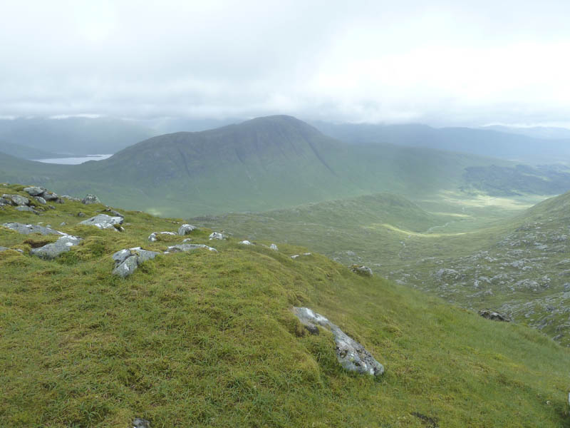
We descended the south-west ridge but lower down continued south through steeper ground and long vegetation, including bracken, avoiding the rocky outcrops. This led to the public road east of the car park.
- Time taken – 5.5 hours.
- Distance – 10.25 kilometres.
- Height climbed – 865 metres.