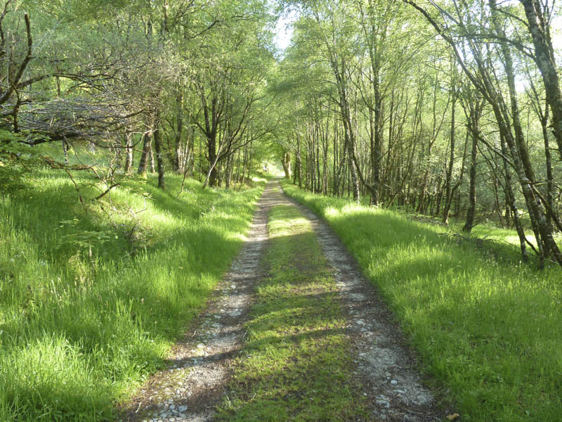
Staying in the village of Strontian enabled me to arrive in the car park at Ariundle, north of the village, just after 7am. I set off along the vehicle track through the Ariundle Oakwoods on a fine summer’s morning.
Later the condition of the track deteriorated and around 45 minutes after setting out I came across a double set of gates. The first being a deer gate while the other was a locked stock gate with a side gate for walkers.
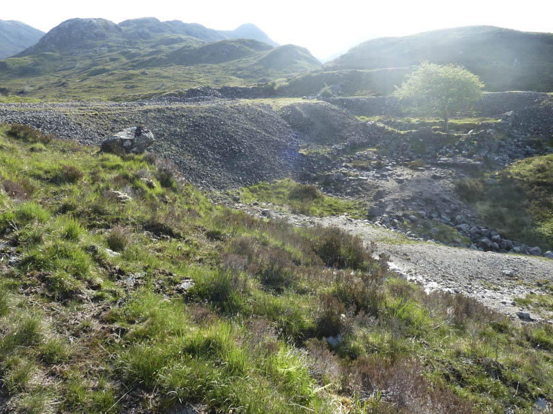
Beyond these gates the track split. I took the left fork and the now path became rather eroded and led to a small gate and footbridge, both in poor condition. Here I emerged from the forest and continued along the path to the old lead mines where I crossed some stony ground.
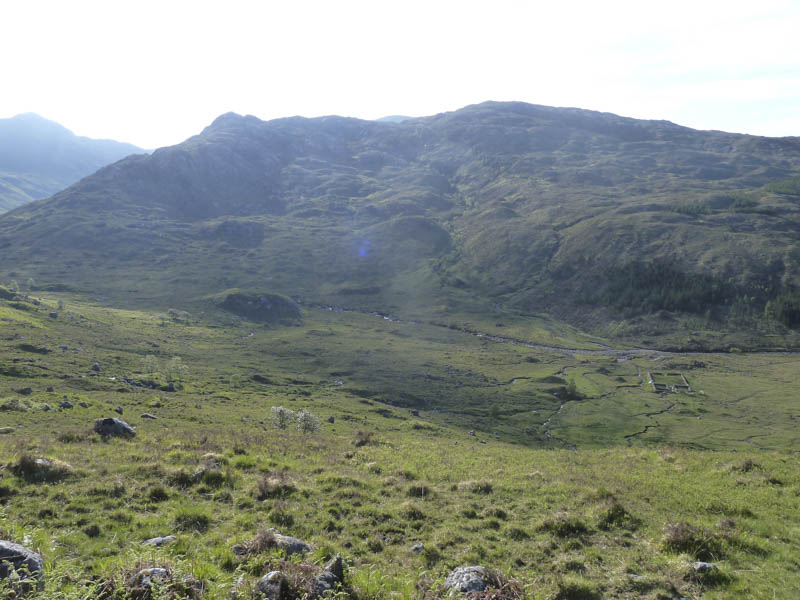
A rough path, also used by animals, led to the crossing of the Allt Feith Dhomhnuill. The path up the east side of this stream soon disappeared amongst the vegetation.
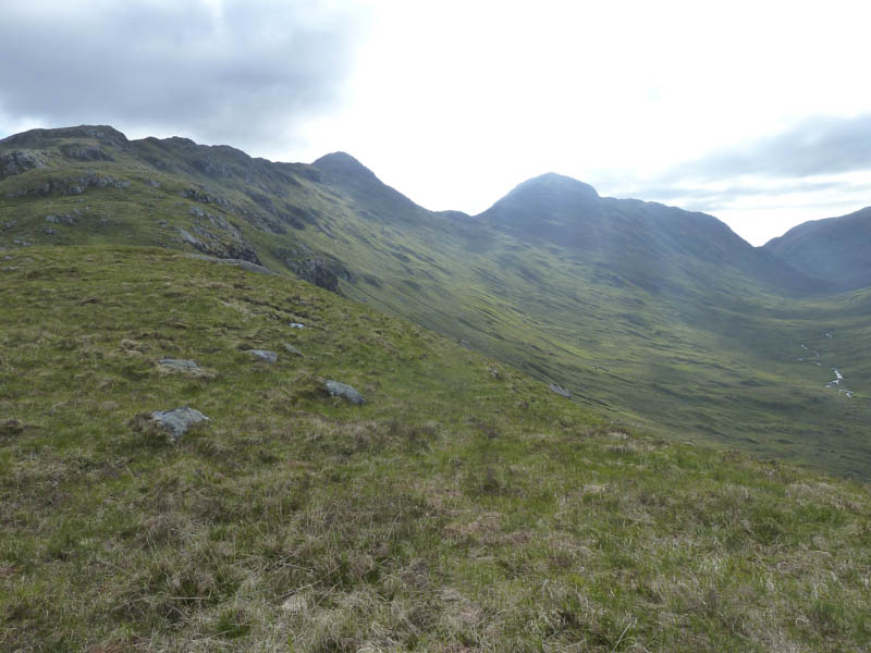
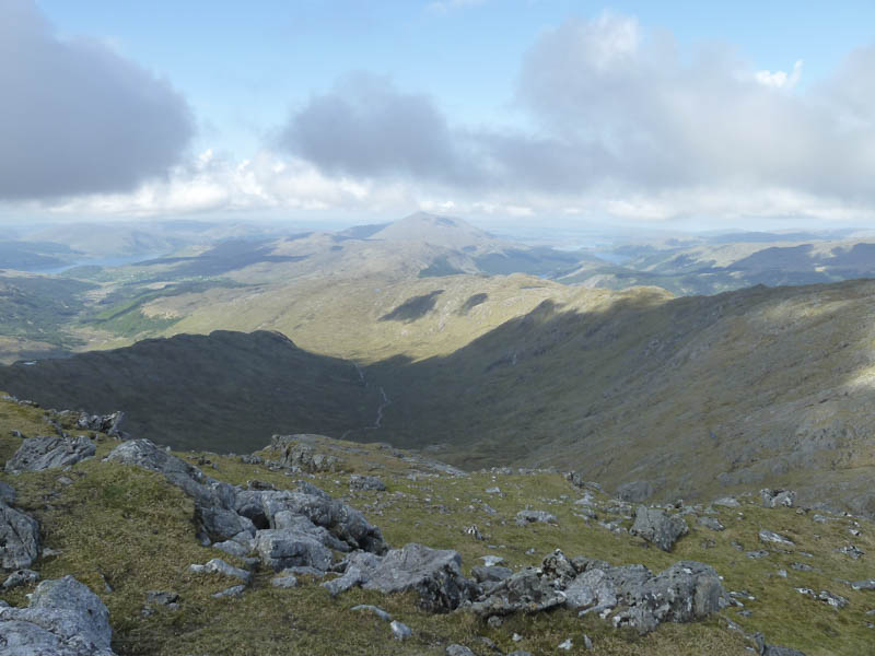
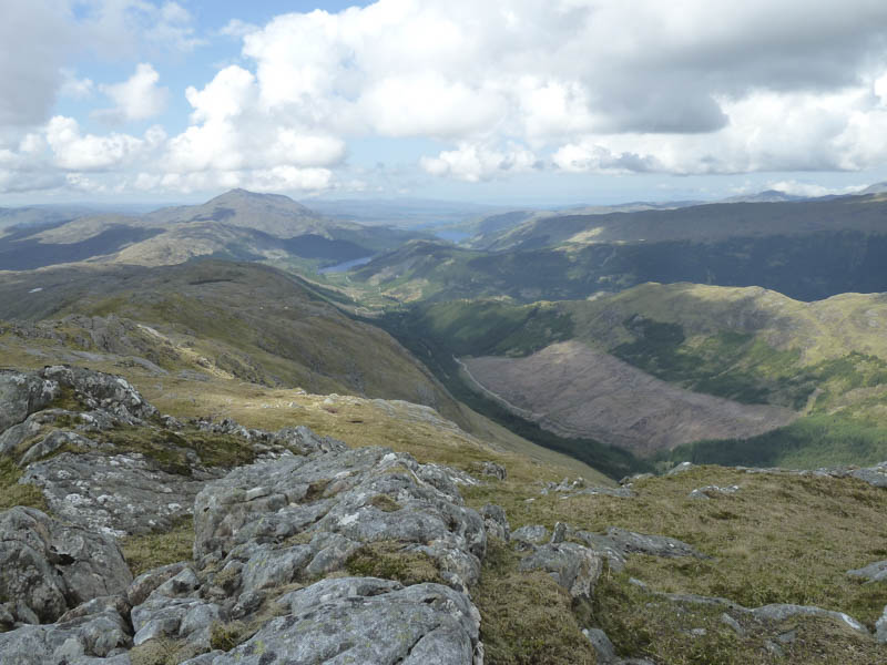
From here I climbed onto the undulating Druim Leac a’ Sgiathain Ridge and ascended the Corbett Top, Sgurr na h-Ighinn.
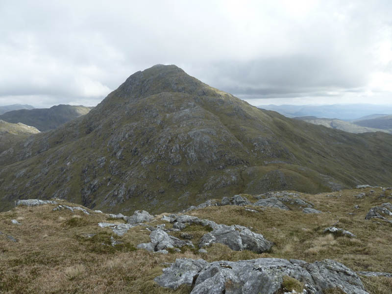
Thereafter I descended north-east to the col with Sgurr Dhomhnuill then headed up a grassy rake, went round some rocks, to gain the circular cairn marking the summit of this Corbett.
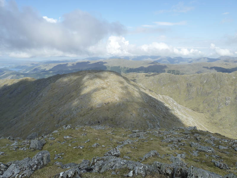
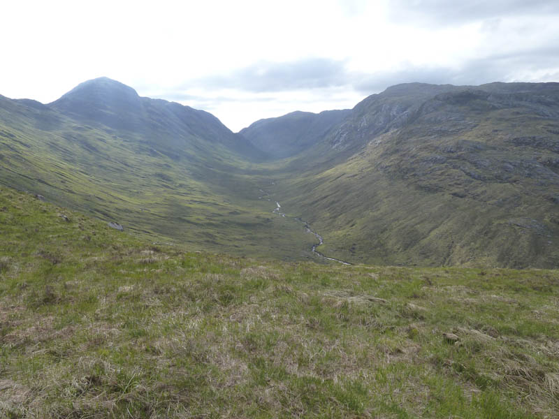
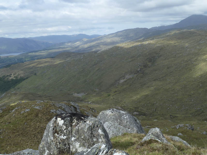
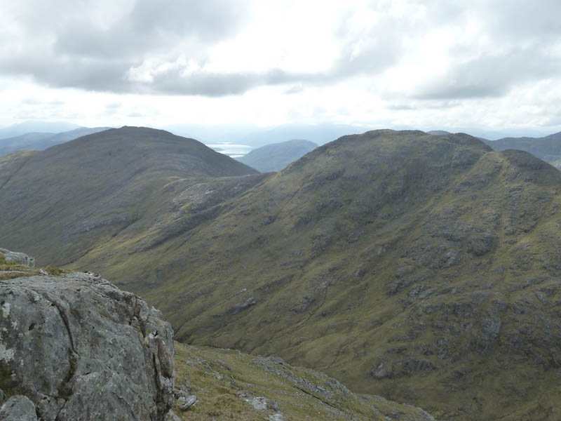
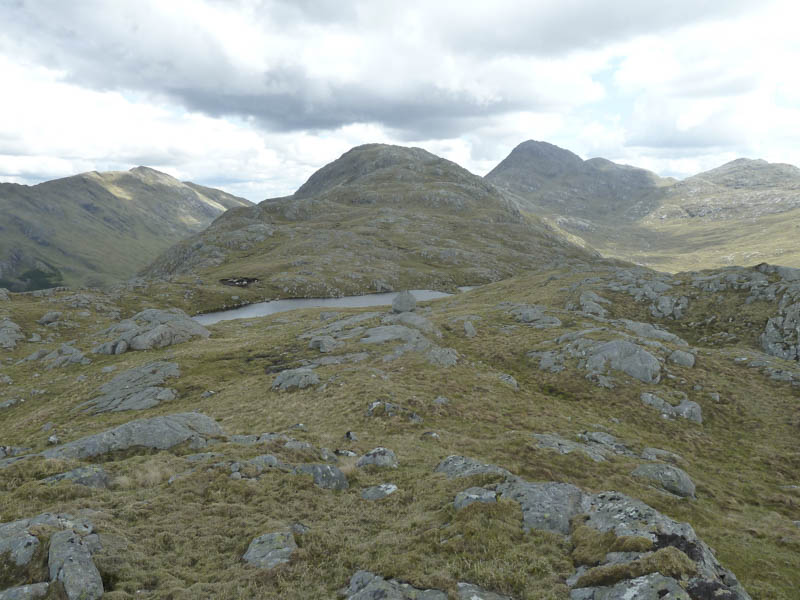
After spending some time here I descended its north-west ridge crossing the vegetation to avoid the rocks. On reaching the Glas Bealach I climbed to the summit of Druim Garbh, a Corbett Top and Hump, again avoiding the rocks.
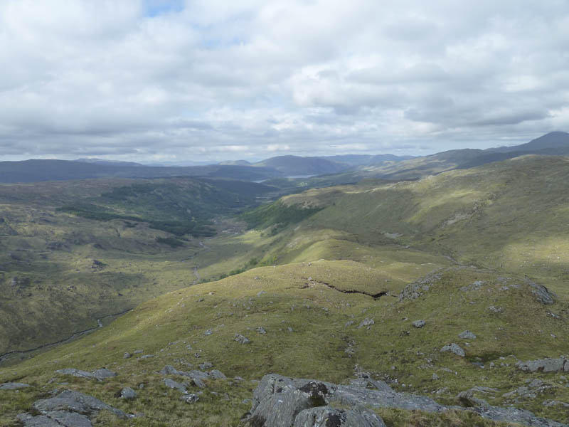
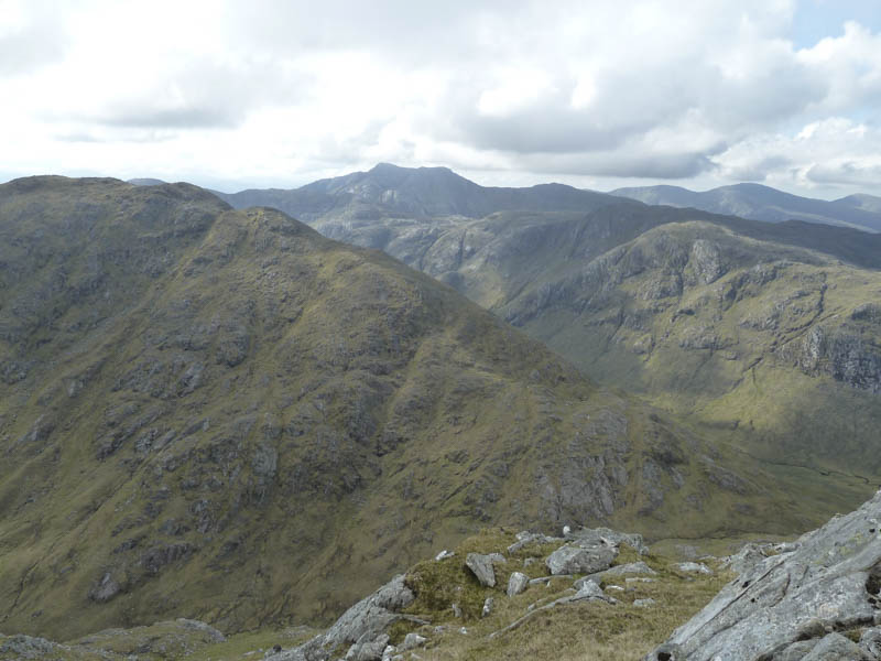
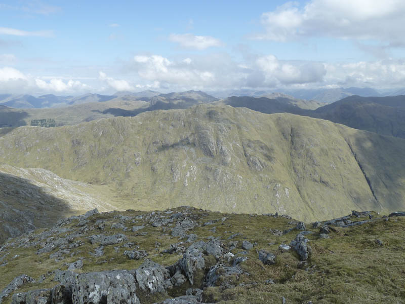
From this summit cairn I headed south-west along its undulating ridge before descending more steeply to the Bealach Clachaig and a small lochan.
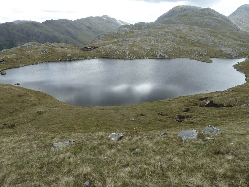
It was then a short climb to the summit of the Tump, Meall Lochan Mhic Gille Dhuibh, which was also marked by a cairn.
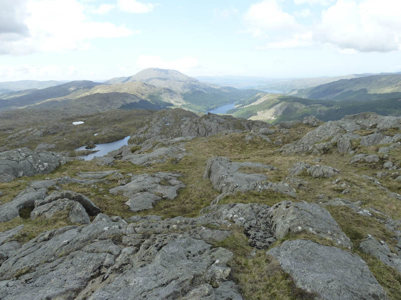
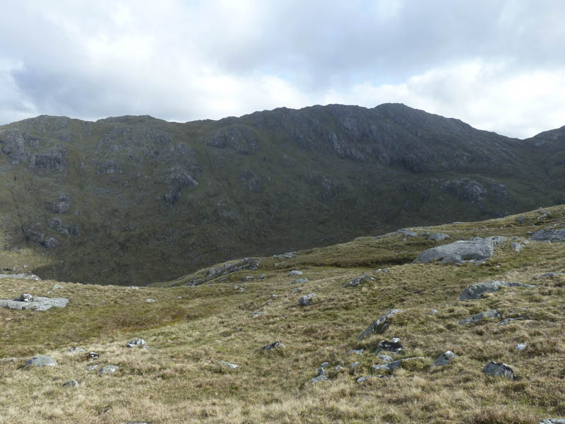
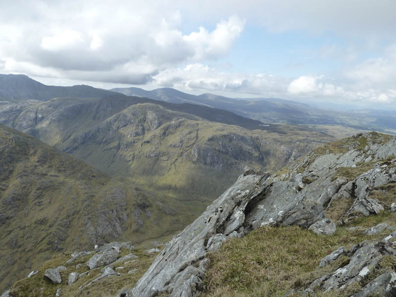
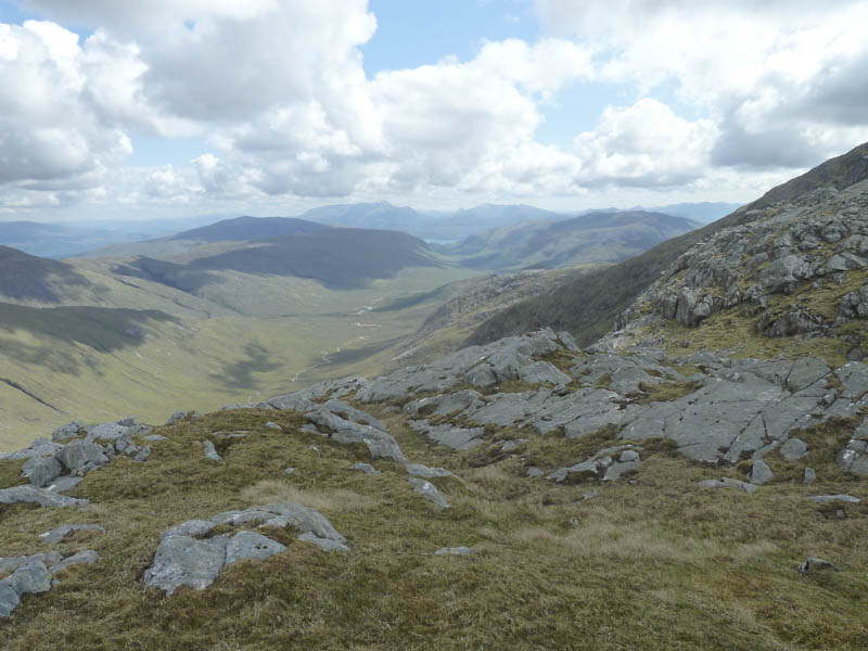
I had another break before descending south through a jumble of large boulders and crossing a couple of gullies to reach the heather covered hillside and the path beside the old lead mines. I then returned to and through the Ariundle Oakwoods during a rain shower.
- Time taken – 7.5 hours.
- Distance – 18.75 kilometres.
- Height climbed – 1300 metres.