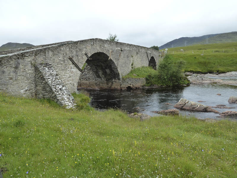
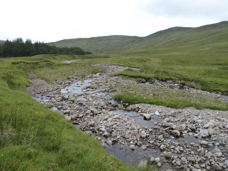
I parked on a large area of waste ground on the east side of Garva Bridge, accessed along the single track road from the A86 Newtonmore to Spean Bridge Road at Laggan Village. I walked across this bridge over the River Spey and headed up the vehicle track on the west side of the Allt Coire Iain Oig.
This led to a new vehicle track built in connection with the construction of larger pylons across the Corrieyairack Pass. This track was to be removed afterwards but apparently it is now to be retained for the extraction of timber.
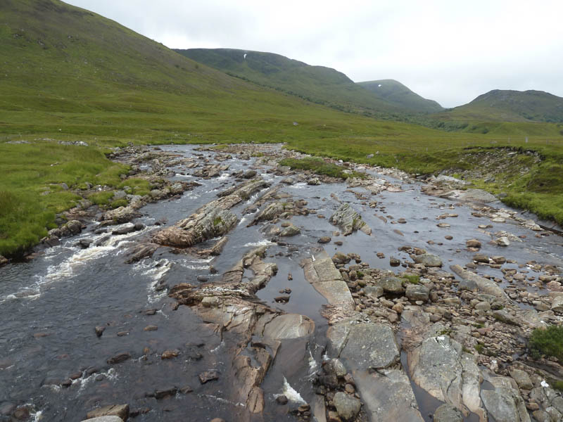
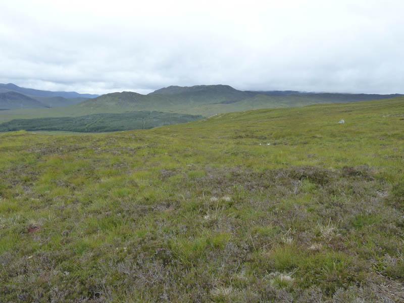
A new bailey bridge over the Allt Coire Iain Oig was crossed then I walked up the east side of the stream on a little used estate track. This took me to some wet and boggy ground then a path, in similar condition, on the south side of the Feith Talagain, one of the access routes for the Munro, Geal Charn.
I later crossed this stream, the rocks were slippery, and some rough vegetation to reach the summit of the Sub Dodd, An Torr.
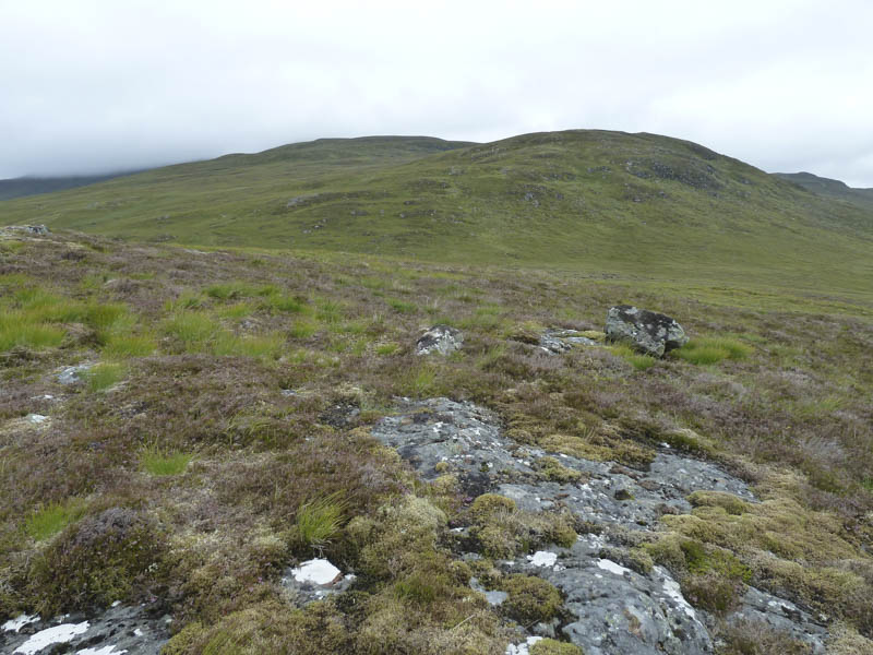
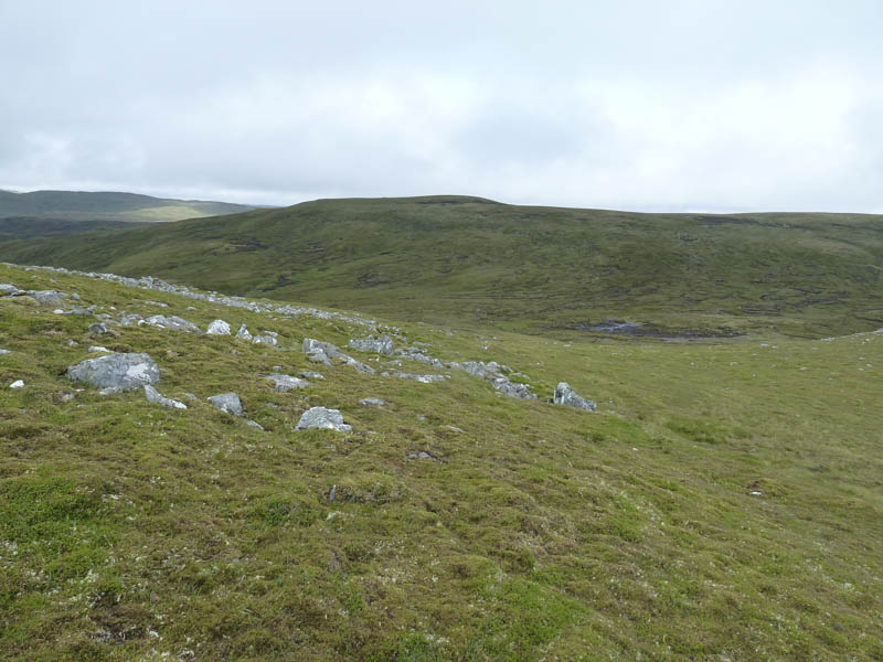
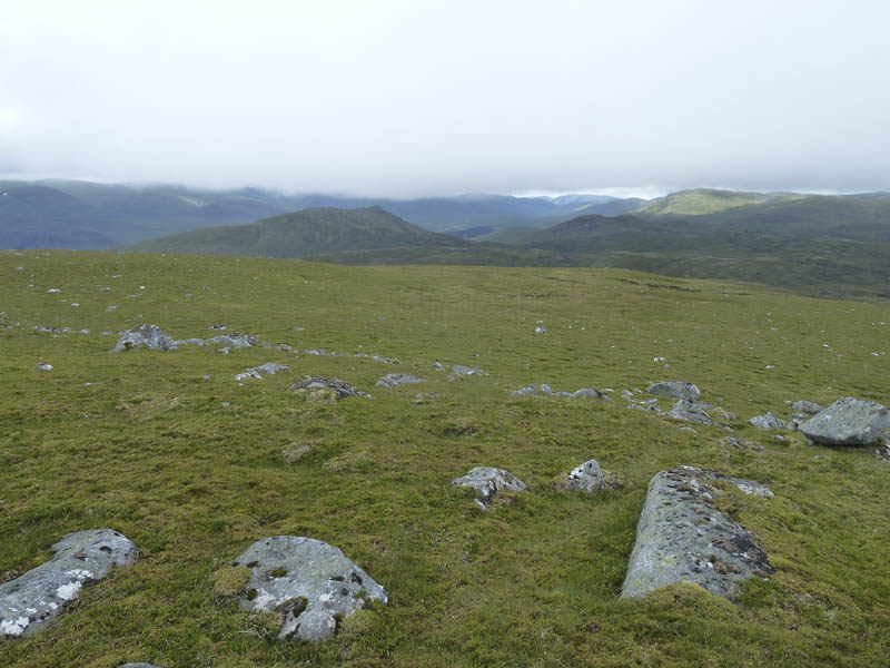
A short descent took me to a boggy col where to the west a short section of track had been dug out of the hillside. The route then took me onto the undulating south-east ridge of Leathad Gaothach with areas of bog and peat hags. There was a cold wind blowing and higher up a wet quad vehicle track headed in my intended direction.
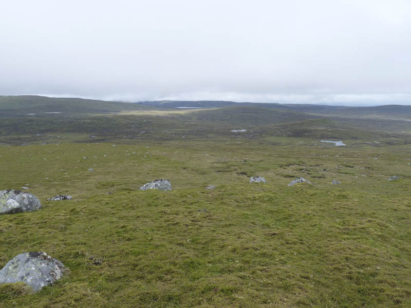
The summit of the Corbett Top, Leathad Gaothach, unmarked, was reached followed by a descent to more peat hags and bog.
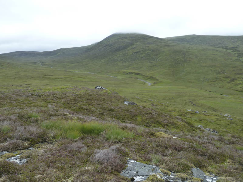
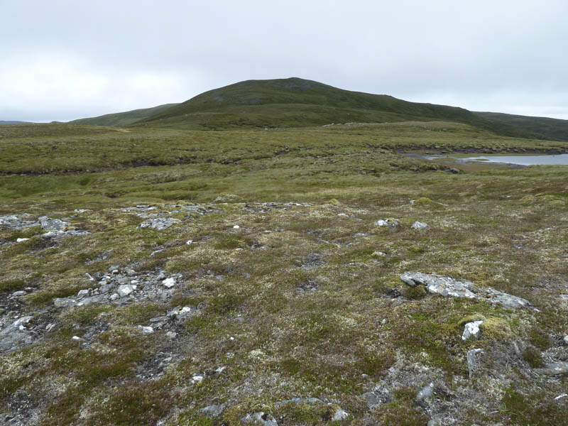
Once through them I continued on the quad vehicle trail to the summit of the Corbett, Meall na h-Aisre, marked by a trig point. It was rather cold on the summit but the cloud had lifted off some of the tops.
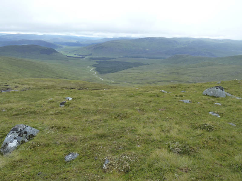
I later descended south across rough and at times steep ground into Coir Iain Oig then walked down the rough west bank of the Allt Coire Iain Oig where occasionally there were traces of a path. Lower down the vegetation was churned up by deer entering and leaving the nearby forest.
Eventually I reached the new track mentioned above and made the short walk back to my car.
- Time taken – 5 hours.
- Distance – 13.25 kilometres.
- Height climbed 665 metres.