I left my car in the car park in Glen Feshie, accessed from the B970 Aviemore to Kingussie Road north of Feshiebridge, and walked to the end of the public road at Auchlean where several cars were lying abandoned. I was surprised the Cairngorm National Park Authorities permitted this!
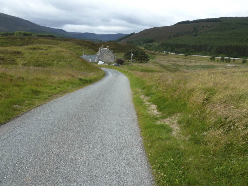
A path ran round the east side of this property then south to the Allt Garbhiach. An improved path continued south but I soon left it to cross the road bridge over the River Feshie then along the tarred road towards Glenfeshie Lodge.
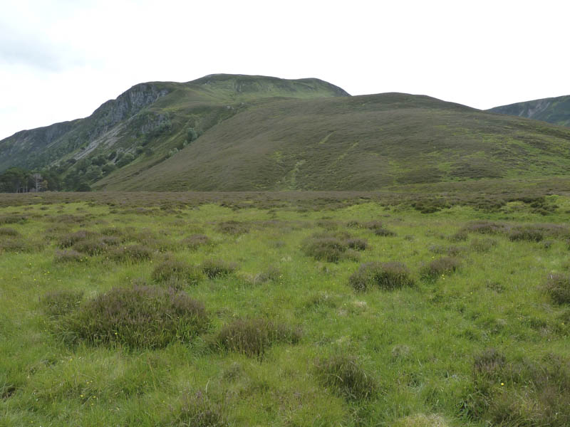
Before reaching the property at Carnachuin I left the tarred road and walked north-west up the estate track that rose steadily through the pine trees. I came to a new track which headed south but discovered it led to an area where the trees had been harvested. I therefore left this track, walked up the edge of the brash, then through rough vegetation onto the north-east ridge of Carn Dearg Beag. Here a walker’s path led to the trig point on the summit of this Sub Simm.
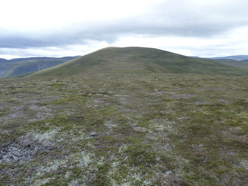
A short descent south took me to the damp col with Carn Dearg Mor then a long gradual ascent along a track led to the cairn marking the summit of this Corbett.
The track then continued to the col with Carn Dearg and from there I climbed this Corbett Top before descending south-east to an estate track.
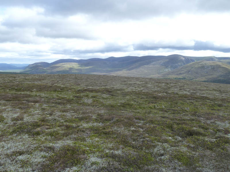
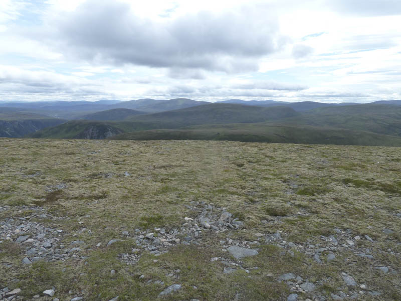
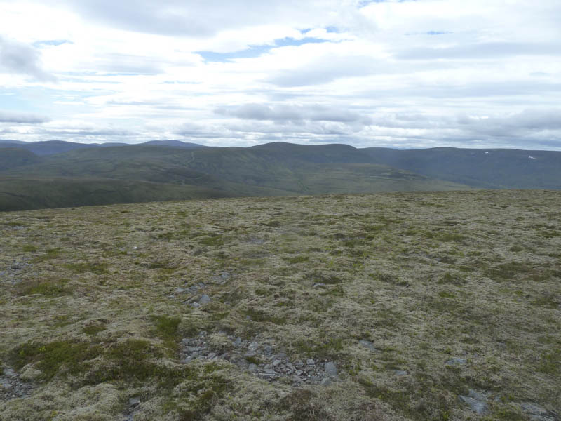
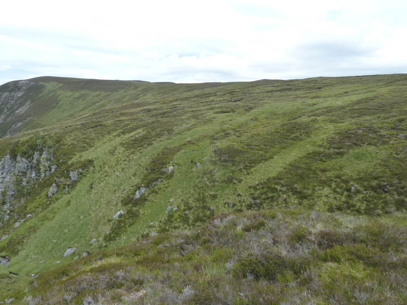
At a junction of tracks I headed south-west towards the Corbett, Leathad an Taobhain, but at the first large bend on this track I left it, initially crossed some rough vegetation, then the walking became easier as I headed for the summit of the Graham Top, Sron na h-Iolaire, which appeared to be an area of grass.
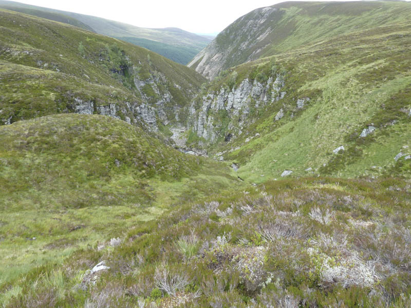
The descent south-east was pretty awful, crossing a mixture of tussocky, marshy ground and some peat hags. I reached a little used path above Slochd Beag with its two rocky gorges.
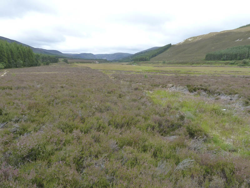
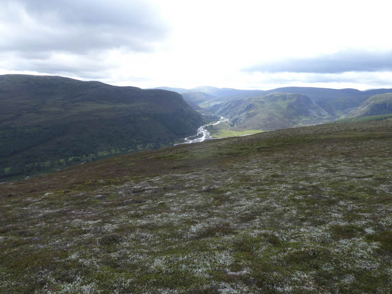
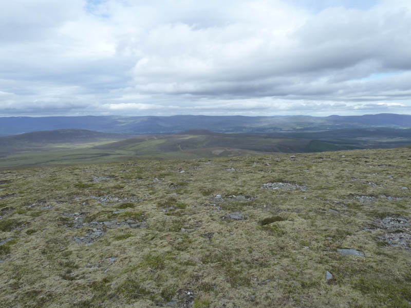
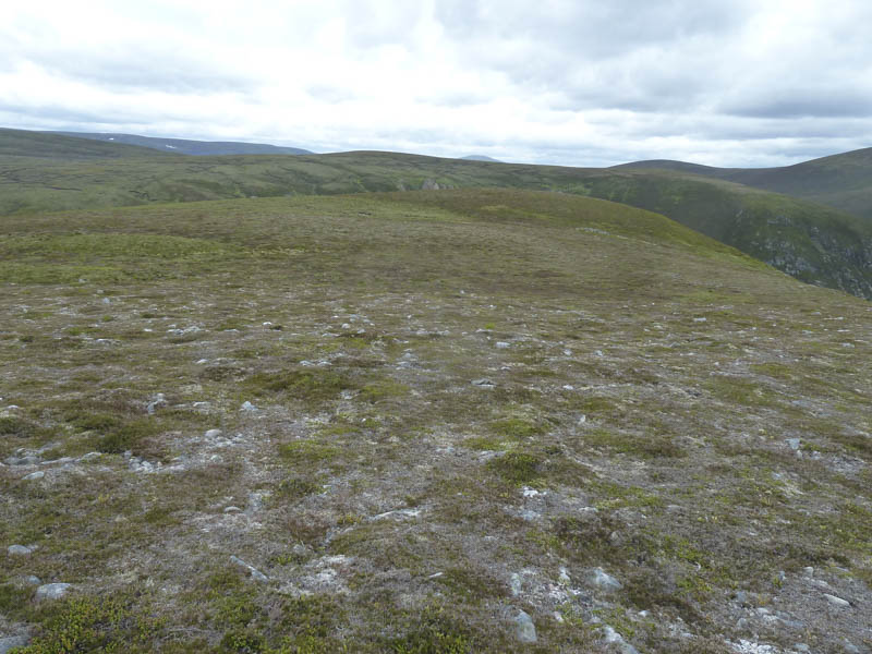
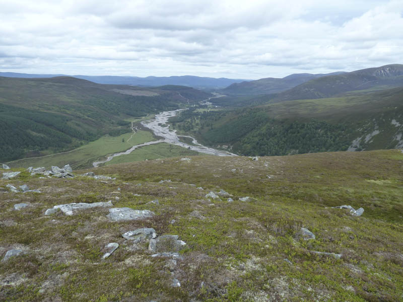
I crossed the Allt Lorgaidh then the Allt Coire Bhruic before heading for Sron Direachain again across some tussocky vegetation and bog. The cairn appeared to be the highest point of this Graham Top and here I had views down Glen Feshie and the long walk back to the car.
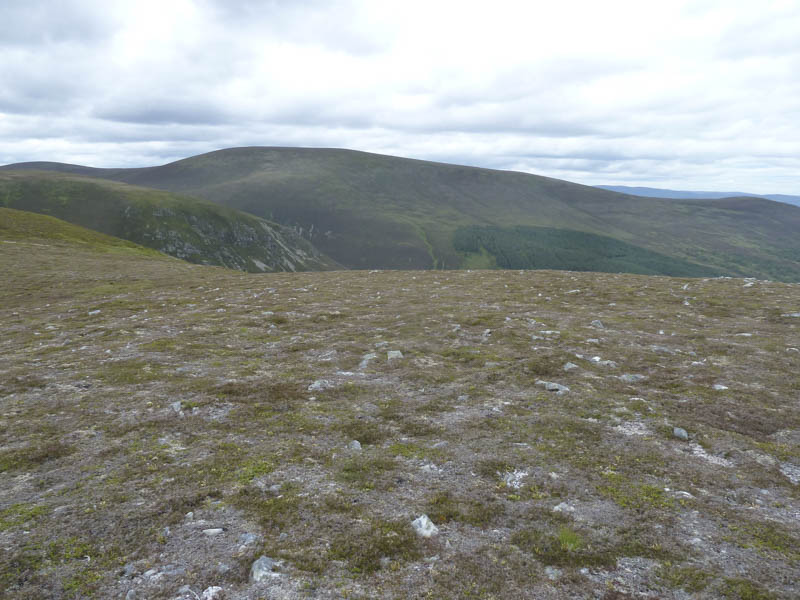
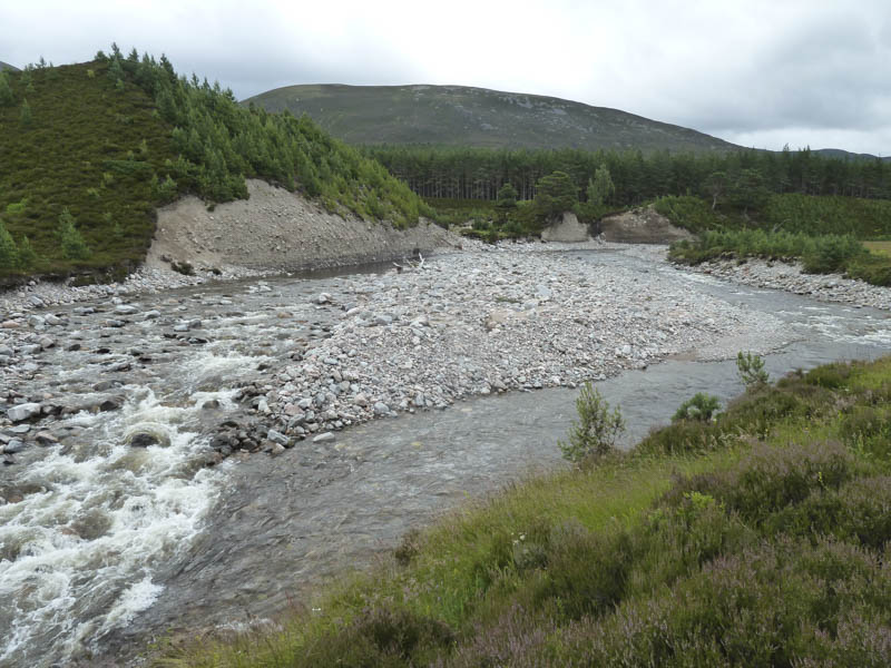
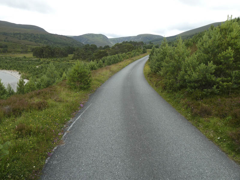
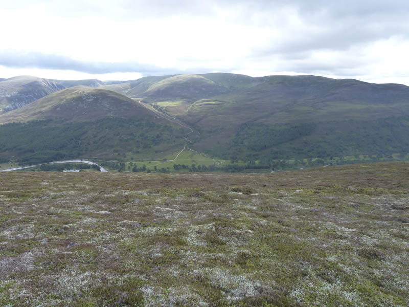
I descended steeply into Glen Feshie before walking along the estate track to Glenfeshie Lodge then the tarred road to north of Carnachuin where I rejoined the outward route and returned to the start just before the rain commenced.
- Time taken – 7.5 hours.
- Distance – 27.25 kilometres.
- Height climbed – 960 metres.