In January I attempted to climb the Corbett, Carn an Fhreiceadain, but abandoned the ascent a couple of kilometres from its summit due to drifting and blowing snow so on this visit snow wouldn’t be a problem.
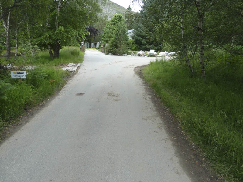
From the centre of Kingussie I drove north up the minor road on the east side of the Allt Mor and managed to get my car off the road beside the open gates leading to Pitmain Lodge. I then walked along the tarred road, passing a couple of parked cars at the start of some local walks. The road went through a section of Kingussie Golf Course and beyond, the banks of the Allt Mor were being strengthened using large boulders.
On approaching Pitmain Lodge signs indicated the route to avoid the property.
I stayed to the east of the river and soon emerged from the trees onto the open hillside where a large earth moving vehicle was parked.
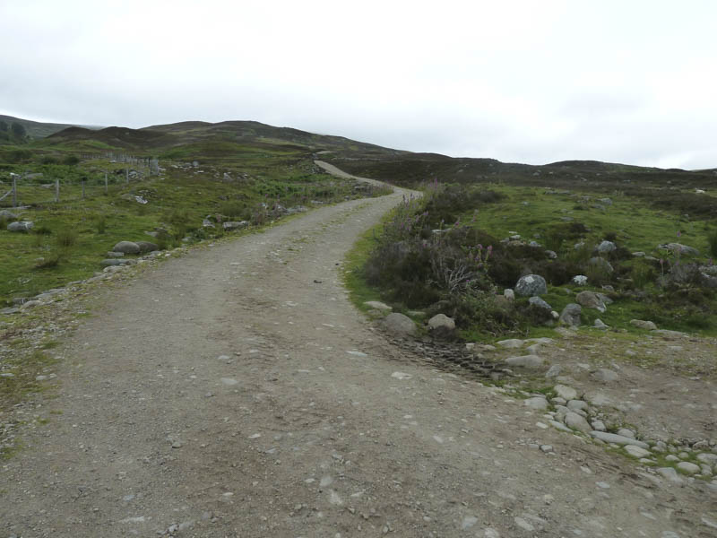
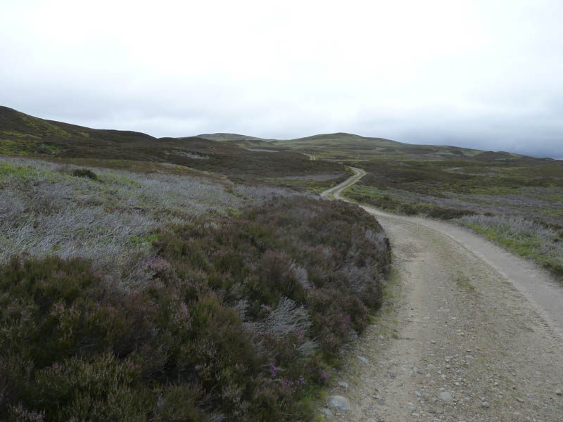
From here it was just the case of following the vehicle track north then north-west across the moorland.
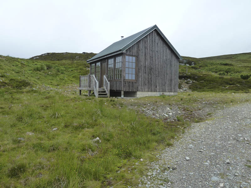
I reached the shooter’s hut where earlier in the year I was forced to turn back.
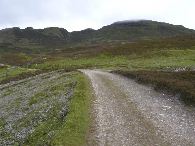
At this point the gradient increased, later easing as I approached Beinn Bhreac.
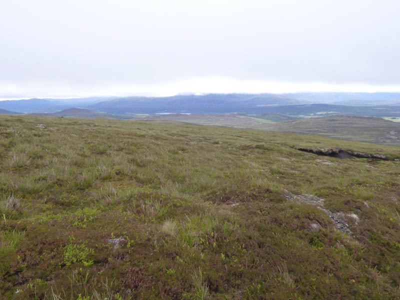
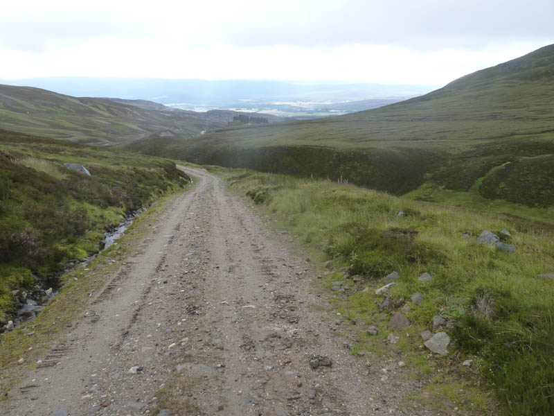
The cloud lowered and there was some light rain blowing through in the wind. The cairn marking the summit of this Corbett Top was reached then an improved track headed for Carn an Fhreiceadain. Hardcore had been excavated from the hillside to use on the track leaving ugly scars.
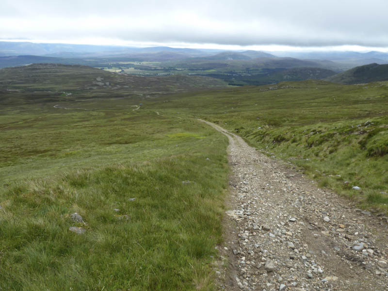
The trig point and cairn marking the summit of this Corbett was reached and here I took a break sheltering from the wind hoping that the cloud would lift. It didn’t. I therefore continued along the upgraded track which descended south-west. I emerged from the cloud and joined an existing track west of Meall Unaig.
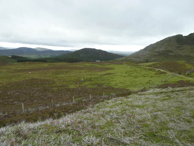
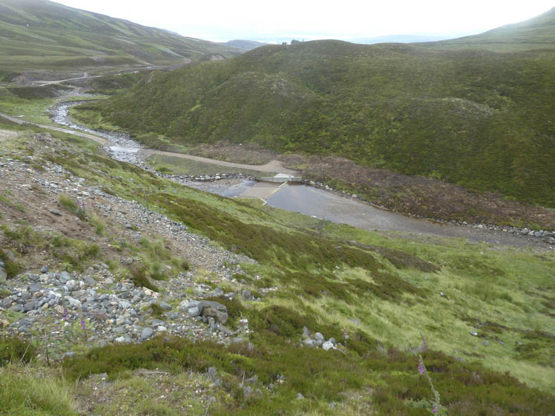
This led to the Allt Mor where a new hydro dam had been constructed. A second dam had been built on is tributary the Allt a’ Choire Odhair. The area had been tidied up and would probably regenerate fairly well unlike the holes made near the summit.
I followed the vehicle track down the west side of the Allt Mor and near Pitmain Lodge passed through a gate in the deer fence, crossed a bridge over the Allt Mor to rejoin the upward route and returned to the start.
- Time taken – 4 hours.
- Distance – 16.25 kilometres.
- Height climbed – 665 metres.