I was residing with some friends on the west coast and with the weather forecast indicating better conditions further east we headed inland to Fort Augustus then along the B862, parking near the cattle grid west of the bridge over the Allt Doe.
Once geared up we climbed an embankment then crossed a field to join the wide vehicle track that led up Glen Doe. On my previous visit in 2006 this track was in regular use by construction traffic heading to and from the hydro dam being built at the head of Glen Doe. On that occasion I was advised by the local stalker that the width of the track would be reduced once the dam was completed but this hasn’t happened. In fact new vehicle tracks had been created in preparation for the construction of 67 wind turbines.
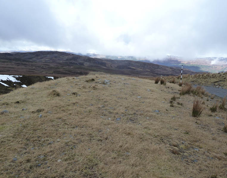
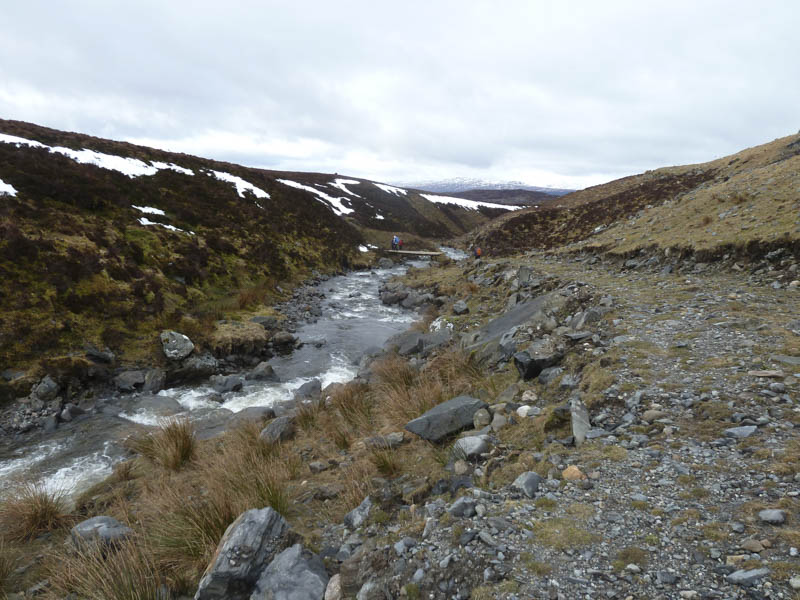
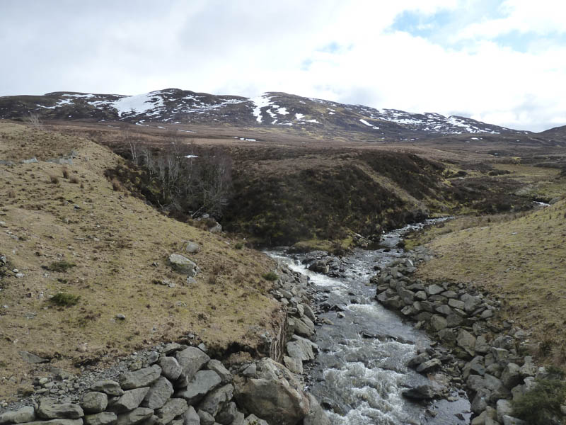
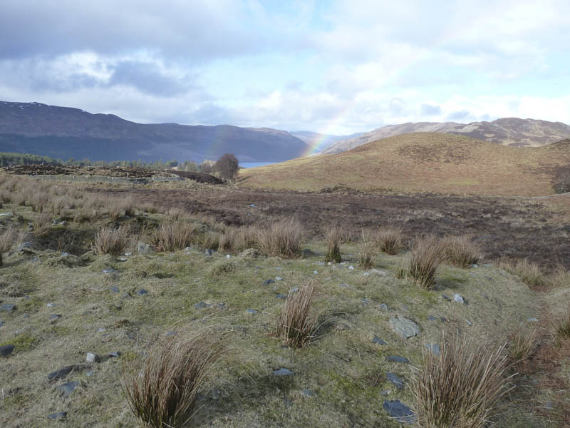
It was an easy walk up this track through Glen Doe and towards Coire Doe. Prior to reaching the coire we left the vehicle track and descended to and crossed the Allt Doe by a fairly new wooden bridge. A wet and boggy quad vehicle trail was then followed.
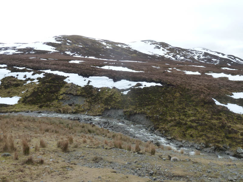
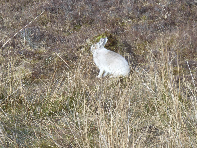
With some height gain the ground became a bit drier then we worked our way above Coire an t-Seilich crossing a few snow patches and disturbing some mountain hares. More snow was crossed as we headed south-west along an undulating ridge to reach the cairn marking the summit of the Corbett, Carn a’ Chuilinn.
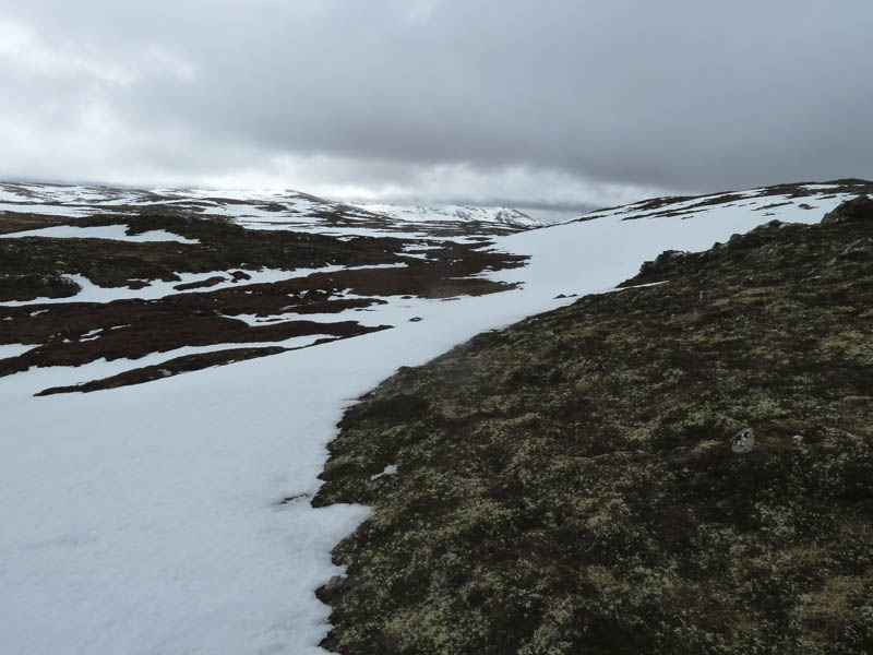
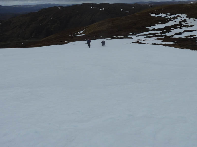
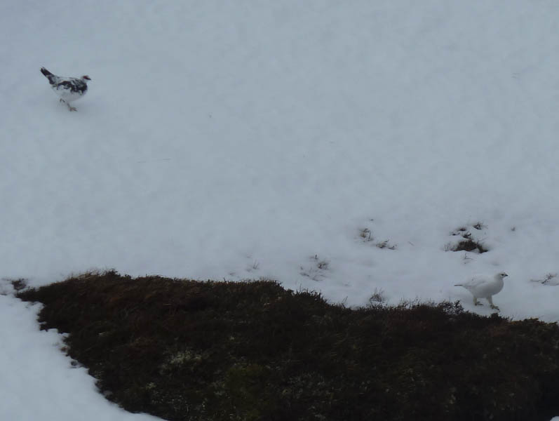
Due to the low cloud there were no views so we descended north crossing some snow patches and avoiding others which were icy or concealing water courses, this made easier once we emerged from the cloud. The stalkers path in Glen Doe was reached then we re-joined the vehicle track and returned to the start.
- Time taken – 5.25 hours.
- Distance – 13.75 kilometres.
- Height climbed – 700 metres.