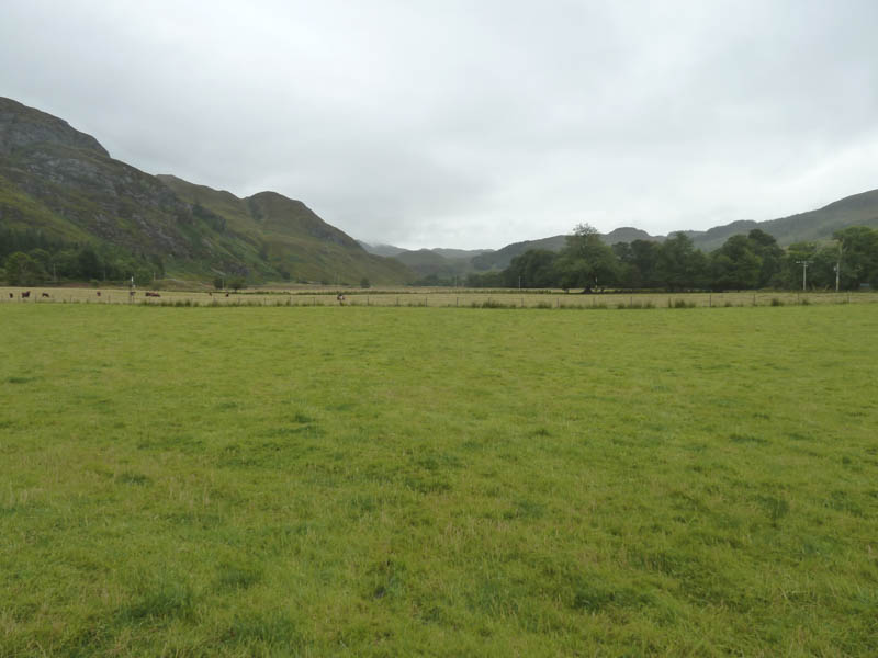
We parked in the walkers car park at the entrance to Attadale Estate on the east side of the A890 Strathcarron to Stromeferry Road. Once geared up we commenced the cycle to Bendronaig Bothy initially along a tarred road later reverting to an estate track.
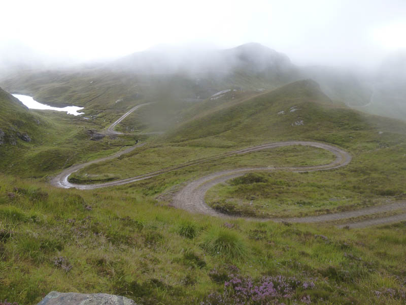
Beyond the bridge over the River Attadale the track steepened and zigzagged so there was more pushing the bikes than cycling. The keeper passed us stopping briefly to ask where we were headed.
On reaching the track’s highest point there was a long downhill stretch to the bridge over the Uisge Dubh. The track was quite rough with holes that been filled with rubble. After crossing this bridge we met the keeper again who was working on repairing the track. He was a friendly chap and advised us that there were cattle round the next bend and not to cycle through them although the shorthorn bull liked to be stroked!
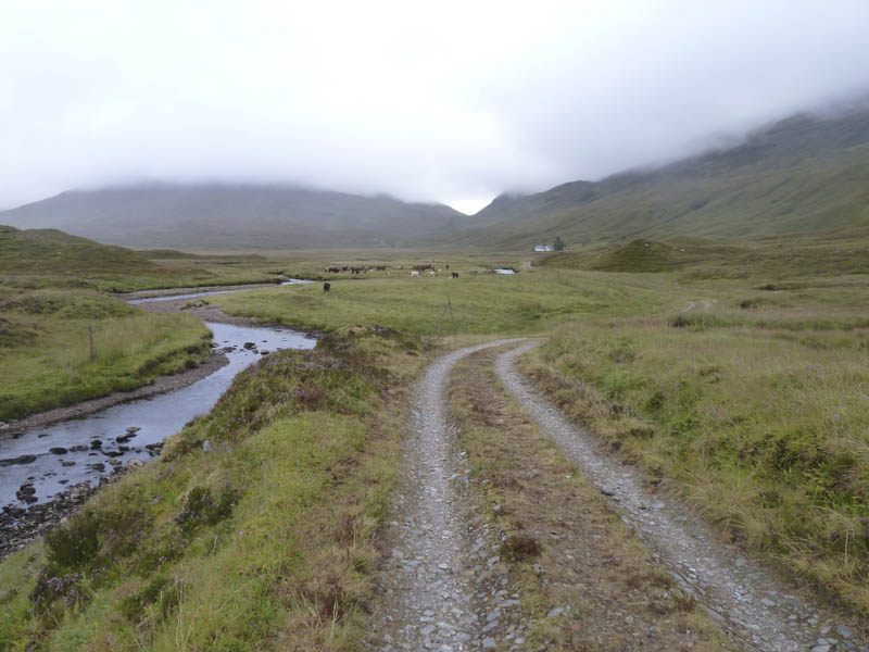
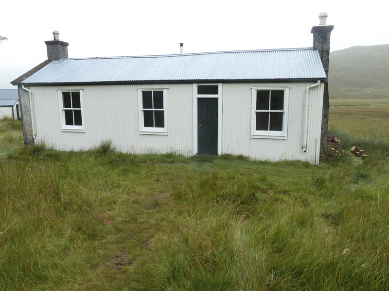
Fortunately they were off the track but on our appearance started to run around and through the stream but were far enough away for us to reach the bothy without incident.
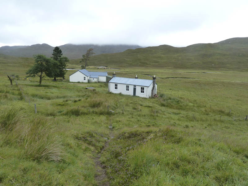
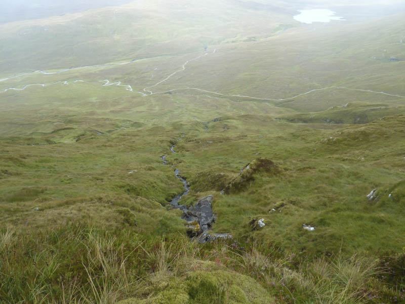
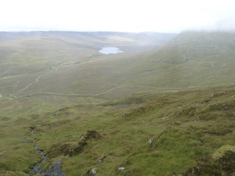
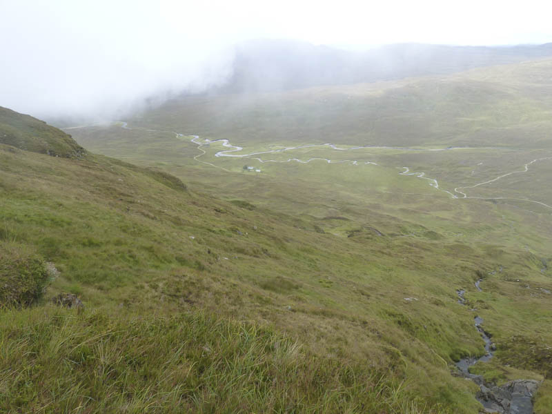
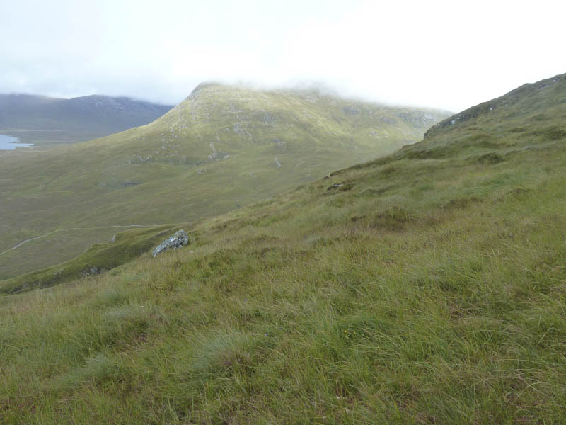
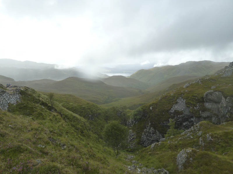
After a break here we continued on foot to a junction of tracks and from there commenced the ascent of the Corbett, Beinn Dronaig, following the east side of a stream. The gradient was steep in places but with no real problems although visibility was impaired by the low cloud that eventually engulfed us. It also started to drizzle. On gaining the undulating west ridge we walked to the summit trig point, but with no views about turned and retraced our route back to the bothy followed by the return cycle.
- Time taken – 8.5 hours.
- Distance – 31.5 kilometres.
- Height climbed – 1310 metres.