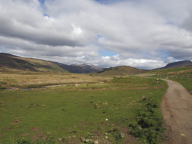
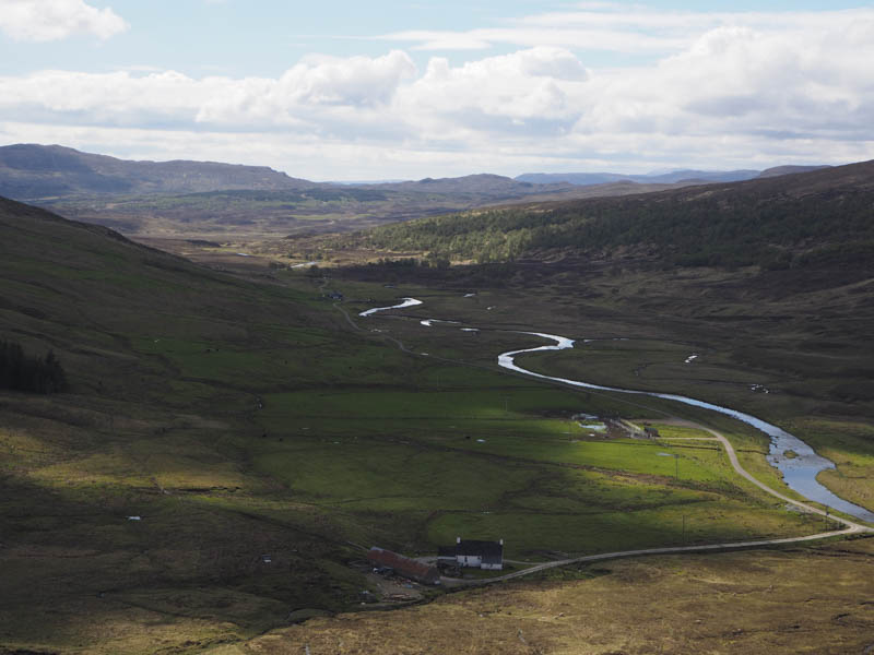
I headed for Black Bridge on the A835 Garve to Braemore Junction Road to meet up with a couple of hill walking friends who were planning on climbing the Corbett, Beinn a’ Chaisteil. They would cycle up Strath Vaich but as I didn’t have access to a bike I would walk. I set off from Black Bridge along the private tarred road on the east side of the Abhainn Srath a’ Bhathaich to near the weir.
Here I left the road and walked north-east on the path leading towards Meallan Don but soon left it and climbed to the summit of the Tump, Cnoc a’ Chaisteil where I sat having a coffee break waiting for my friends to arrive.
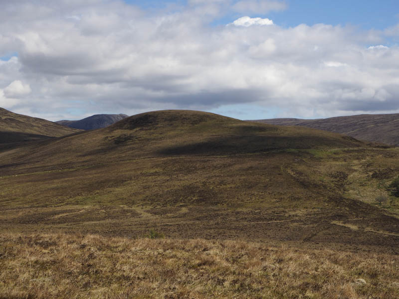
When they commenced the walk along the path I descended east and on meeting up continued along the path to an estate track running below Meallan Don. After short walk along this track I climbed the Tump, Meallan Don, while my friends walked round its east side.
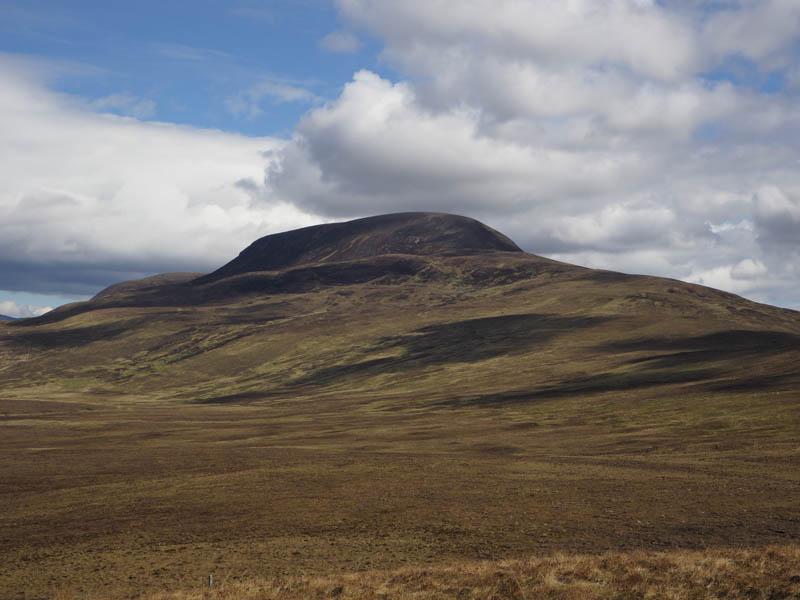
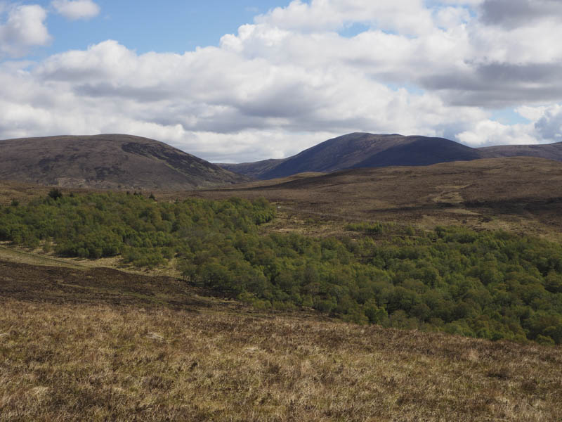
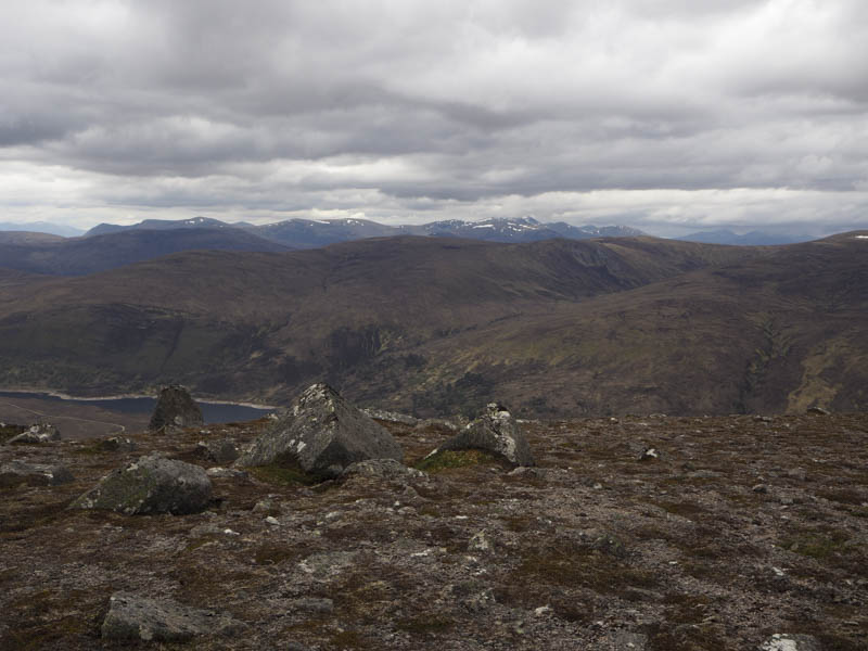
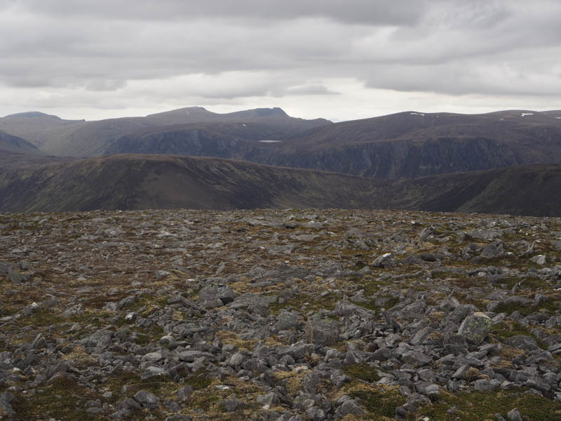
I descended north to rejoin them. The going was a bit rough here with some peat hags and pools of water and these conditions continued until we were below the steeper section of Meall a’ Ghrianain. Here a zigzag path was followed but higher up it disappeared amongst the short windswept heather then it was an easy stroll to the summit of this Hump and Graham Top, marked by a cairn.
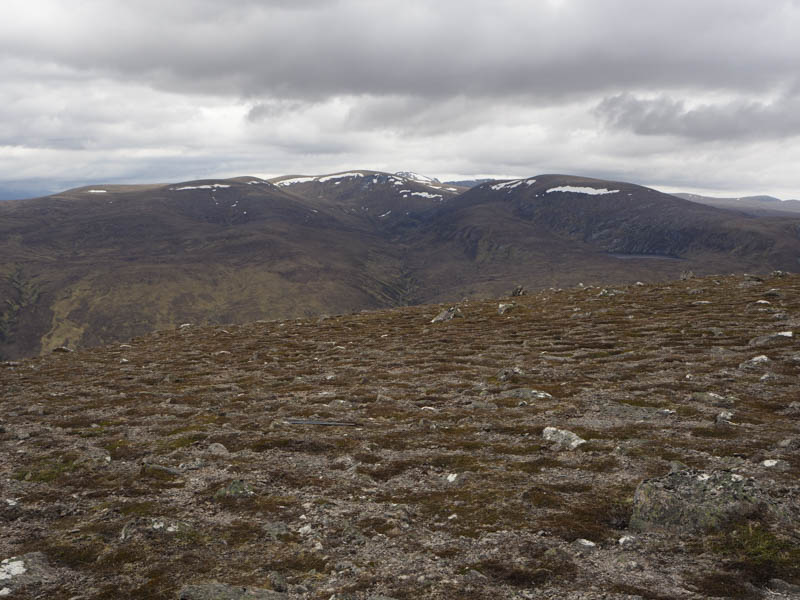
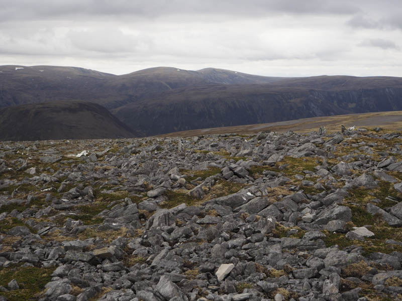
After a break at this summit we descended north across some stony ground before ascending Beinn a’ Chaisteil visiting the cairn and trig point as well as the highest point, a rock four metres to the north.
The return was by the approach route avoiding a re-ascent of the Tumps.
- Time taken – 8 hours.
- Distance – 22 kilometres.
- Height climbed – 1080 metres.