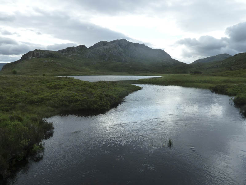
I was staying as part of a group at the Torridon Youth Hostel with a plan to climb the Corbett, Baosbheinn. We drove north then west on the A832 Kinlochewe to Gairloch Road to west of the Am Feur Loch, parking beside the Red Barn which is actually green.
We set off across the road and the wooden bridge over the outflow of the Am Feur Loch and followed the vehicle track south-east through the Bad na Sgalag Plantation.
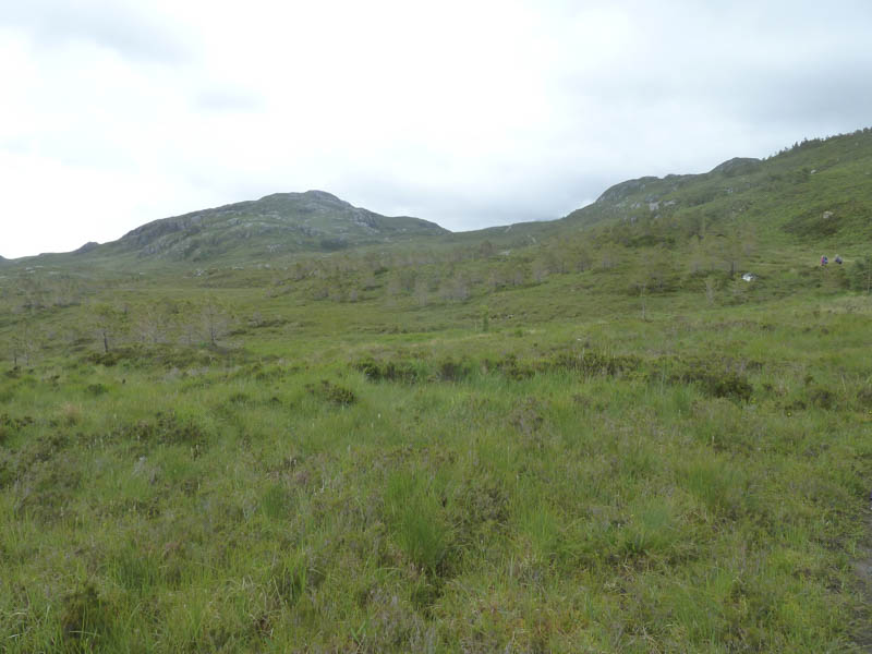
After around three kilometres we reached the Abhainn a’ Gharbh Choire then walked along a vehicle track going west which was replaced by a wet and muddy path marked by posts.
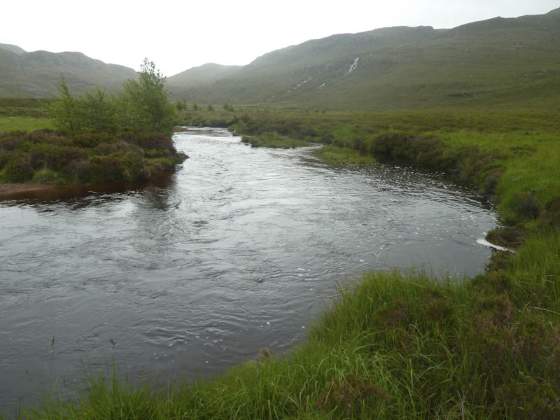
Instead of continuing along this path we mistakenly crossed some very marshy vegetation to locate the bridge over the Abhainn a’ Gharbh Choire when in fact the path wound its way round the hillside passing close to the bridge.
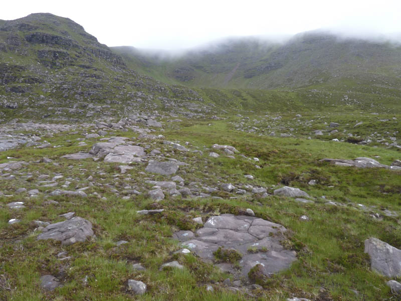
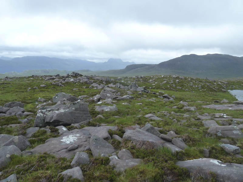
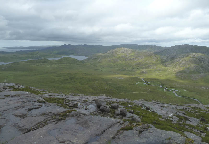
Once over this bridge the underfoot conditions consisted of hollows and water trenches but there was a slight improvement after we climbed over a deer fence. The route took use below Coire Beag and into the An Reidh-choire.
The others crossed the Allt an Reidh-choire and headed for the summit of Baosbheinn but I continued up the north side of this stream, into the cloud, to check out the north ridge as a possible return route.
It was a fairly steep ascent on a path with the rocks and vegetation a bit slippery due to the damp conditions. I left this path and ascended Baosbheinn North Top, a Corbett Top, before rejoining the path further south. I then climbed to the summit of Baosbheinn where I re-joined the other members of the group.
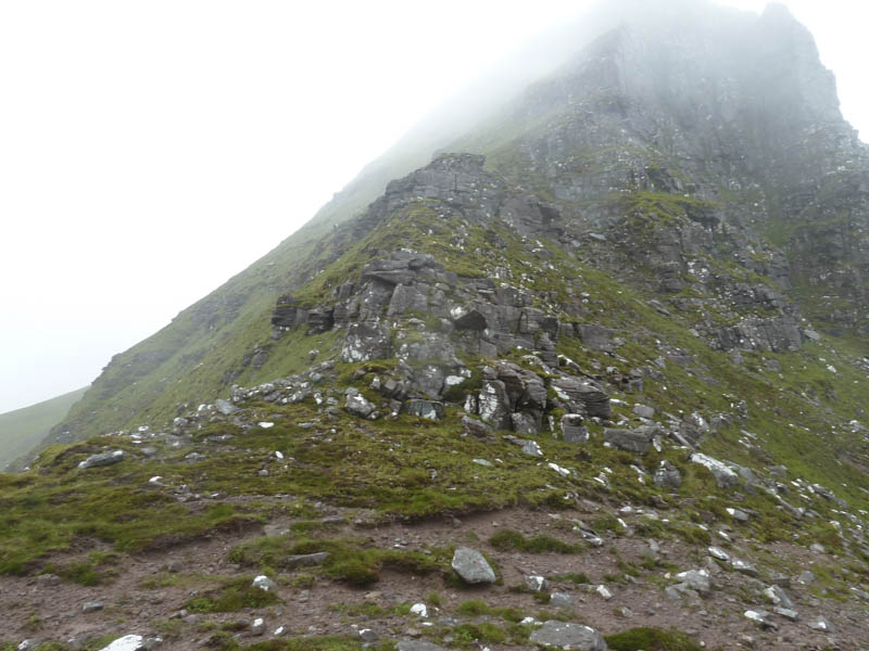
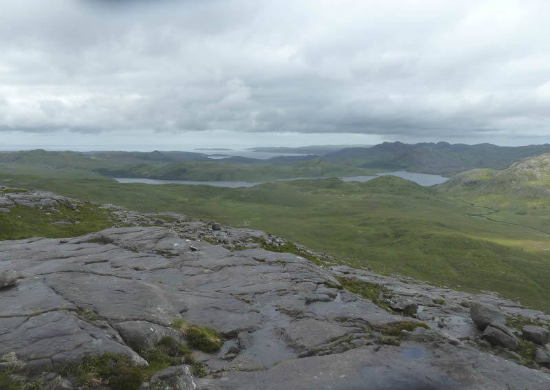
Due to the low cloud there were no views so we left the summit, the others opting to return by their ascent route while I retraced my steps along the north ridge, by-passing the North Top. It was then an easy gradual ascent to the Corbett Top, Creag an Fhithich, with some views when the cloud broke briefly. A fairly steep descent on grassy vegetation took me into Coire Beag and to the rockier north-east ridge. Lower down I rejoined the group and we continued to the footbridge over the Abhainn a’ Gharbh Choire.
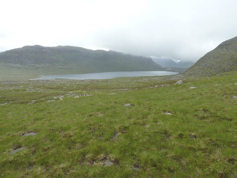
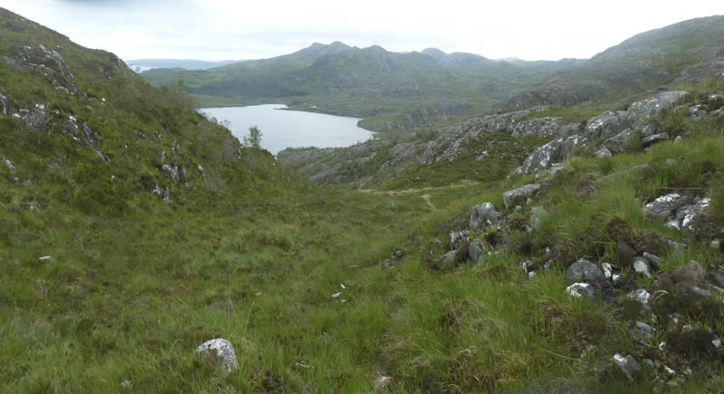
A member of the group suggested we return to the start using the marked path to Loch Bad an Sgalaig so once over the bridge we walked north-west on this wet and muddy path. Lower down the route crossed the Abhainn a’ Gharbh Choire but the bridge was lying at an angle and impossible to use. Crossing the stream or continuing along its east side wasn’t an option so we climbed a gully then descended to Loch Bad an Sgalaig to re-join the path beside the Abhainn a’ Gharbh Choire. The path then followed a deer fence initially along the lochside before crossing the hillside with a short ascent before descending to the vehicle track used earlier that day, not far from the start.
- Time taken – 8 hours.
- Distance – 17.25 kilometres.
- Height climbed – 1130 metres.