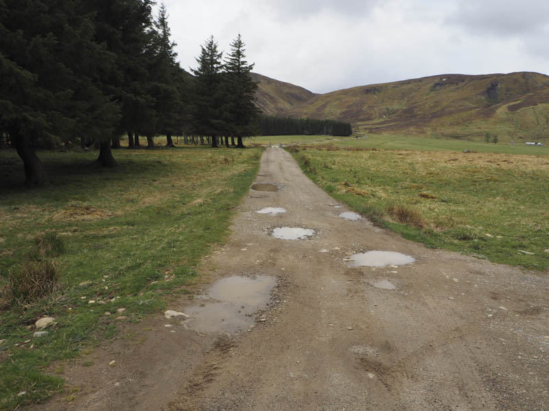
This turned out to be a longer day than planned after I decided to add on a couple of extra Corbett Tops. The starting point was the vehicle track west of Coignascallan Farm in Strath Dearn, accessed from the old A9 south of Tomatin. I walked south along this track and on reaching the bridge over the River Findhorn realised that instead of verge parking I could have left my car immediately north of this bridge.
Beyond the River Findhorn I continued along the track to and across the bridge over the Allt Fionndairnich then passed some ruins.
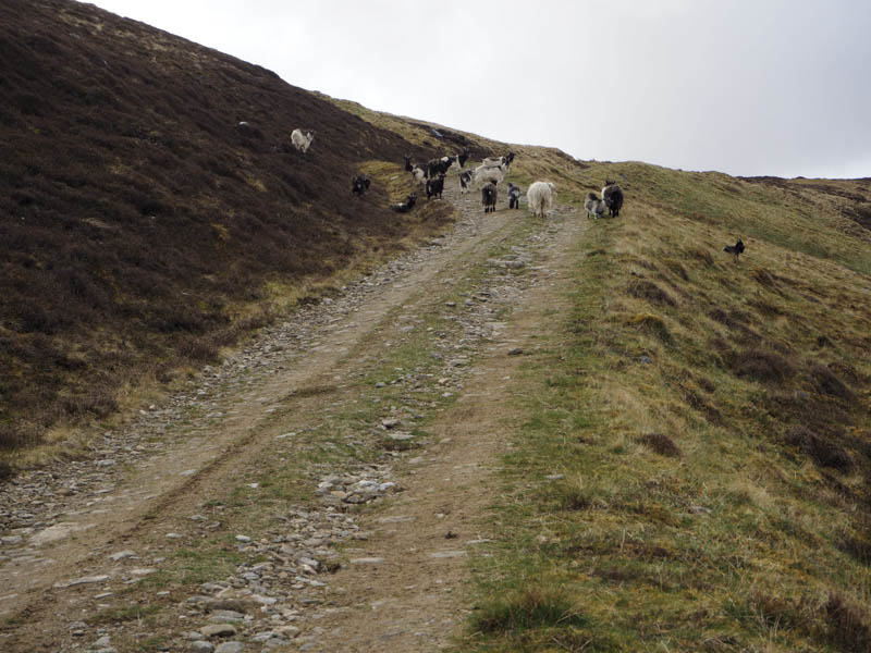
The track soon steepened so it was a steady climb disturbing a herd of feral goats resting on or near the track.
On gaining the col south of Carn Mor I left the track and followed a wet ATV track across short heather to the summit of the Graham Top, Carn Easgainn Mor.
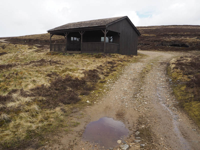
From there I descended south-east then south to rejoin the vehicle track just above a stalker’s hut where I sat on an outside bench for a coffee break. Neither the hut nor the continuation of the vehicle track was shown on my map.
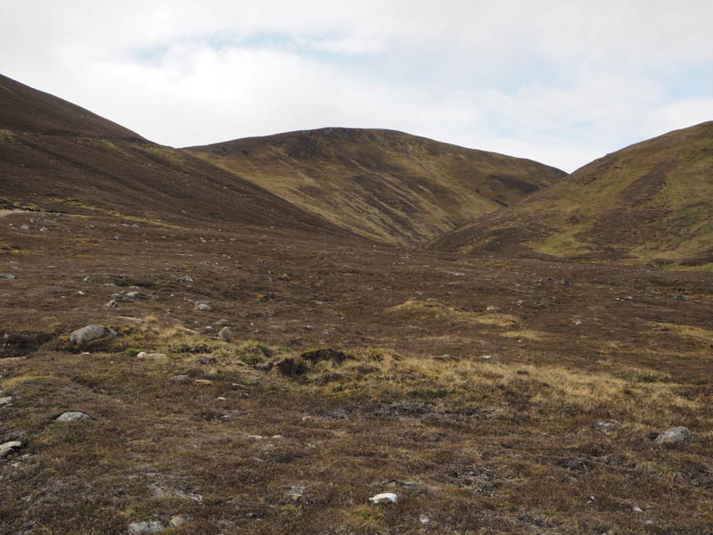
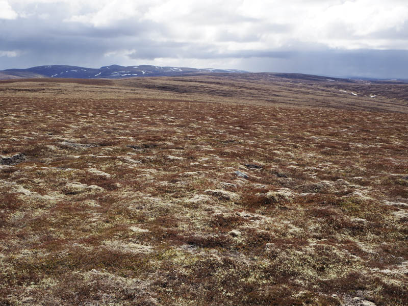
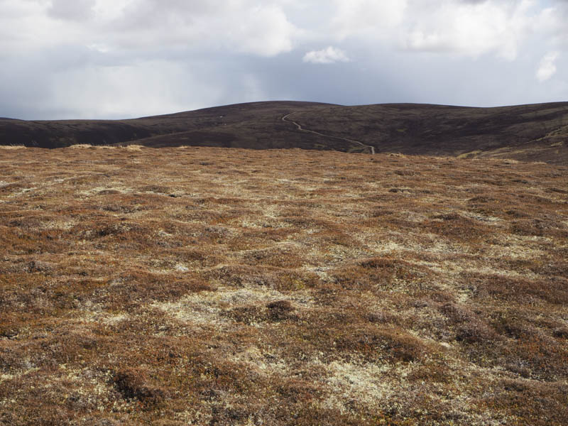
However the vehicle track continued south then later west above the Allt Fionndairnich. Once below the south side of Carn Choire Odhair I left the track and followed a wet ATV track north later through some peat hags to shooting butts. The highpoint of this Corbett Top was some heather off to the east but which clump of heather I couldn’t say.
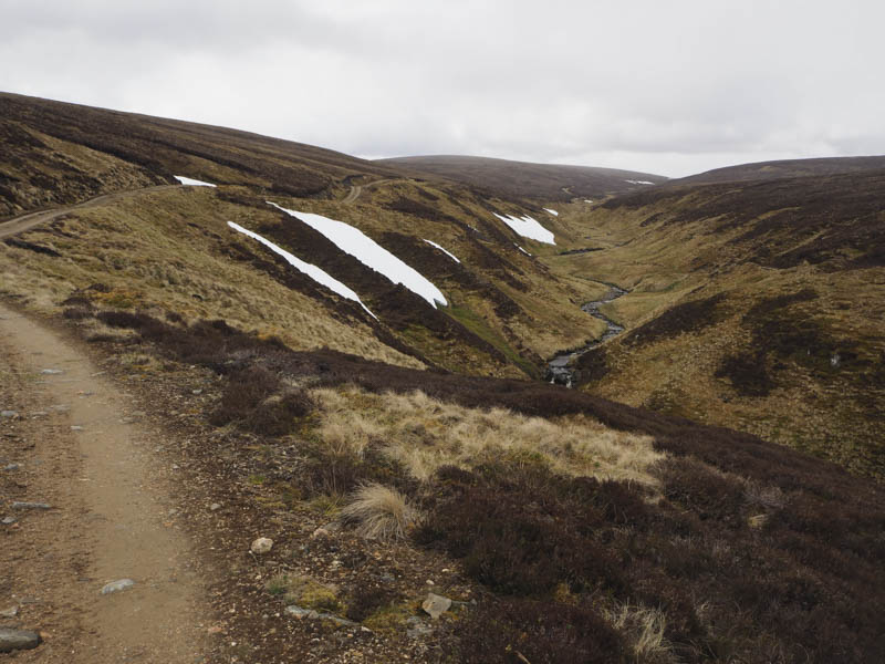
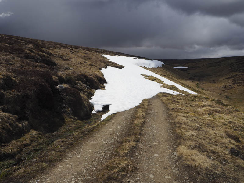
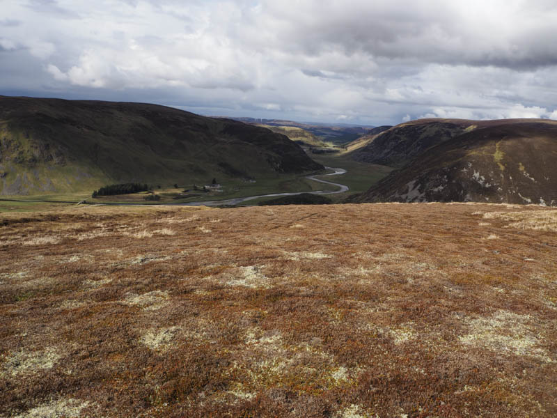
I returned to the vehicle track and followed it west as it descended to the Allt Deamhaidh. The track then turned south and later south-east to the source of this burn. In places the track was buried under snow so I had to take a few short diversions.
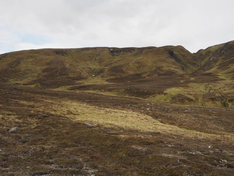
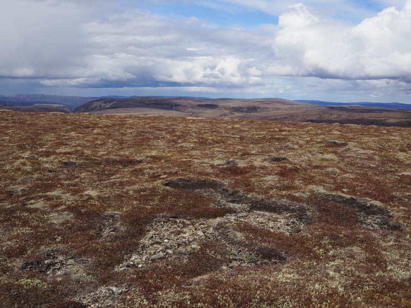
The track then descended to the Elrick Burn but near the highpoint (NH695118) I left the track, crossed some wet and boggy ground and a few snow patches to commence the ascent of the Corbett Top, Carn nam Meirleach, mainly across peat hags which was a common feature on the next few hills. I crossed over its South Top then headed out to the North Top, both may be the same height although the North Top is shown as the summit. However on neither top was I able to confirm the highest point.
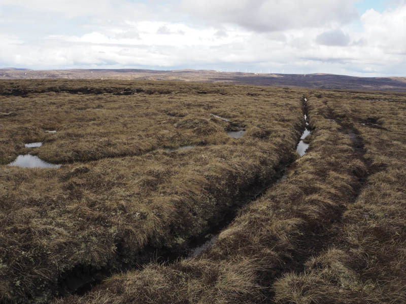
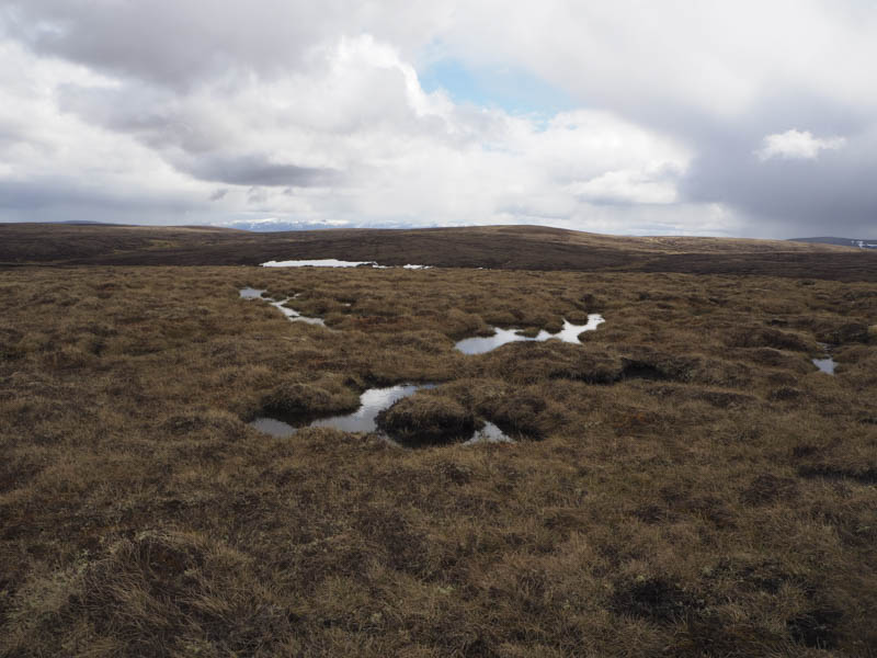
Instead of returning to the track over the South Top of Carn nam Meirleach I descended south-east across some grassy vegetation at the side of a stream to reach the Allt Deamhaidh. Once across it and the vehicle track at NH699122 I commenced the ascent of Carn Icean Duibhe. Initially it was over some peat hags then up grass and moss at the side of the Caochan nan Carnaichean Dubha. Higher up I was eventually forced through the peat hags and bog to gain the summit of the Corbett Top, Carn Icean Duibhe although again it was difficult to say where the highest point was.
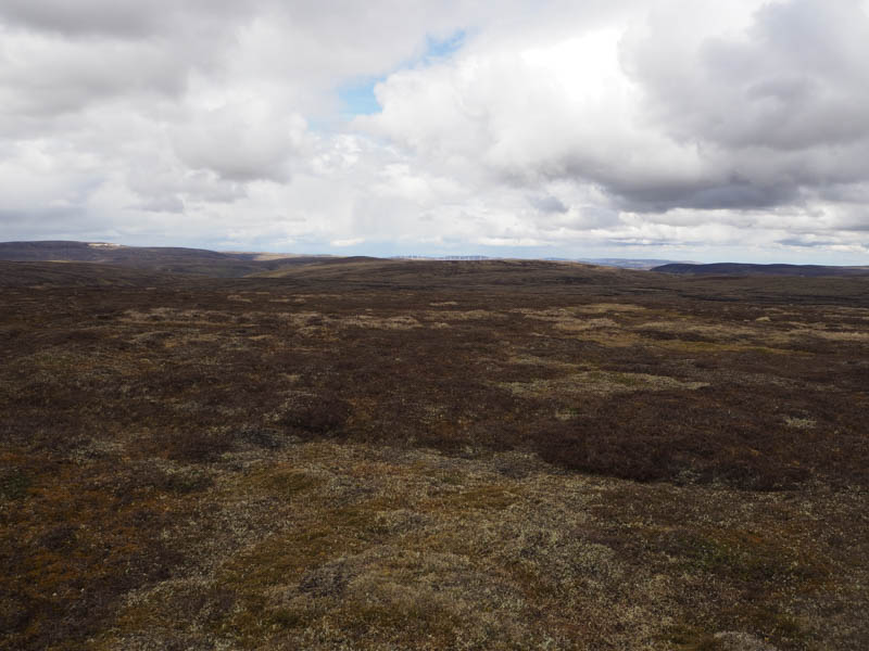
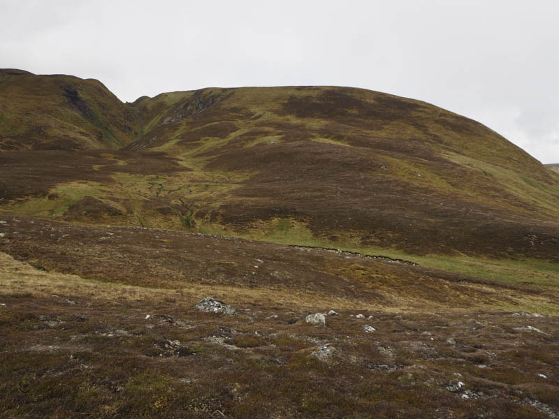
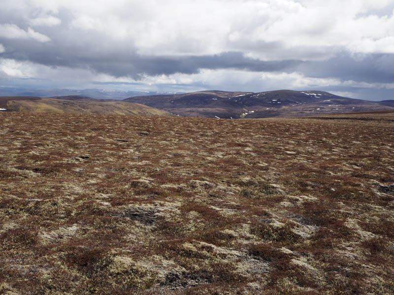
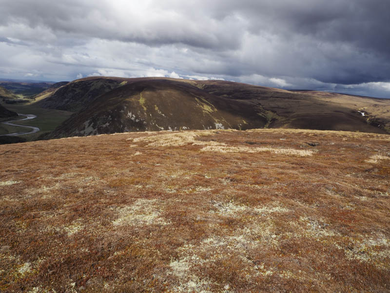
A long descent north-east was mainly through peat hags although using the drier ones made for reasonable progress to just below the head of the Allt Coire Chlaiginn Mhoir where I encountered a short hail shower. From there it was a mixture of heather and peat hags to reach the summit of Carn Coire na h-Easgainn, the highest point of this Corbett Top being a cairn on top of the knoll.
The descent north-west through more rough vegetation and peat hags allowed me to rejoin the vehicle track at NH726145. I then followed this track passed the shooter’s hut and to just above the col between Carn Easgainn Mor and Carn Mor. From there I ascended the latter across short heather to the summit of this Sub Simm, which was apparently a clump of heather but which one!
I then descended to the track slightly north of the col and returned down the track to the starting point.
- Time taken – 8 hours.
- Distance 23.75 kilometres.
- Height climbed – 855 metres.