I looked at the options for combining the Corbett, Corryhabbie Hill, and the Graham, Cook’s Cairn, and chose an approach from the A941 Cabrach to Dufftown Road. It was a sunny morning when I parked on an area of grass on the north side of the bridge over the River Fiddich at Bridgehaugh. If the occupants of this cottage hadn’t seen me arrive the barking of their kennelled dogs would have alerted them.
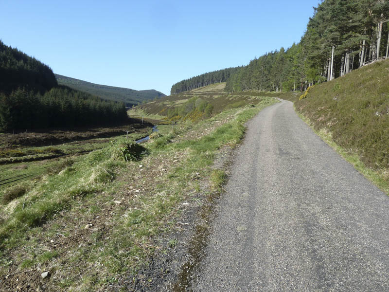
A closed metal stock gate with the padlock undone was passed through then I commenced the cycle up Glen Fiddich on a tarred road with numerous pot holes. The gradient soon increased significantly and as an infrequent cyclist I had to push my bike part of the way rather than using all my energy at the start. After twenty minutes I arrived at the Dubh Allt where I left my bike.
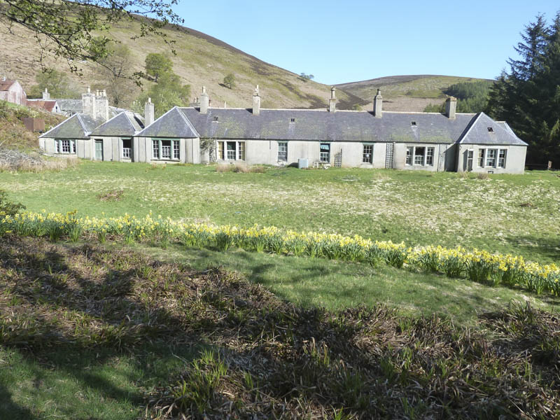
On foot I continued along the vehicle track to the dilapidated and neglected buildings at and including Glenfiddich Lodge although one house did appear occupied.
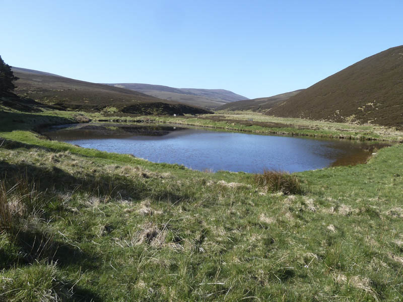
The track continued along the south side of the River Fiddich before crossing a bridge where there appeared to be a monitoring system installed. A man made lochan was passed before reaching and crossing the bridge over the Burn of Glackra.
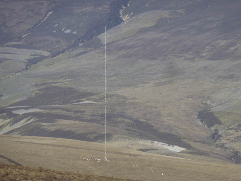
I initially headed south on another vehicle track before leaving it and crossing Scaut Hill’s heather clad hillside where I disturbed a number of grouse. I heard the sound of a vehicle and through binoculars spotted an ATV vehicle descending the hillside to the south-west of my location. There were also some men working around a mast and on later checking Google learned the plan to construct over 60 wind turbines in the area.
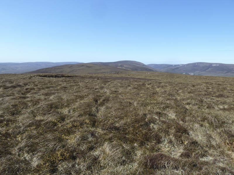
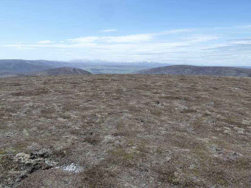
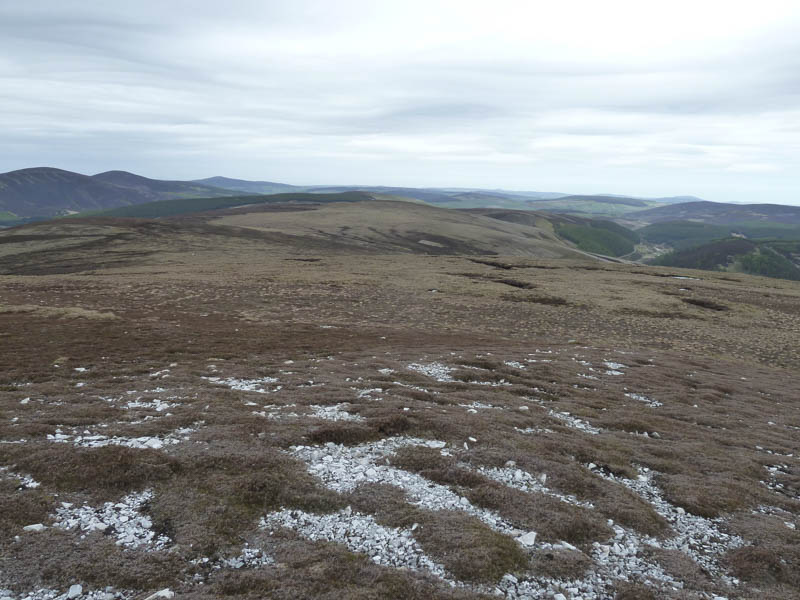
On approaching the summit of Scaut Hill I avoided areas of boulders then it was onto the trig point. There were also a couple of cairns so I took a break here looking north towards Dufftown. According to my map the highest point of this Tump, a meter higher than the trig, was to the south-west so I visited it although there was no marker.
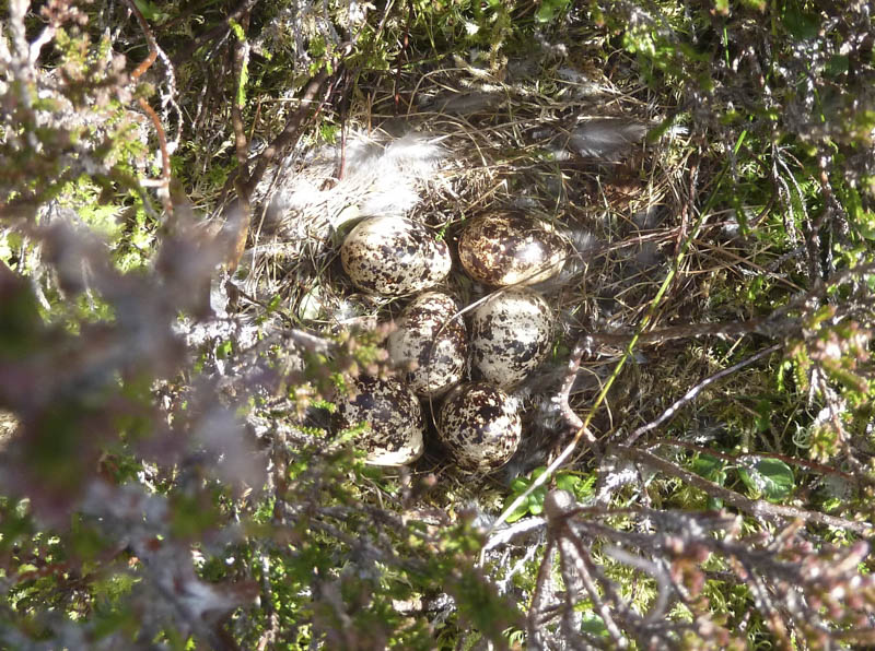
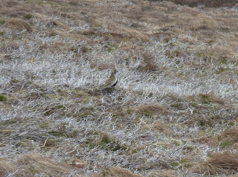
It was then an easy descent across some wet ground to the col with Carn Allt a’ Chlaiginn where there were a number of odd items which I presumed were related to the construction of the wind farm. Through binoculars I saw that two workmen were now part way up the mast possibly securing anchors. Nearby I came across a golden plover’s nest containing four eggs.
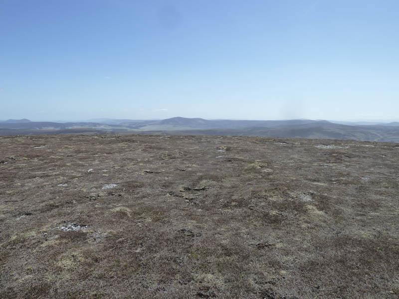
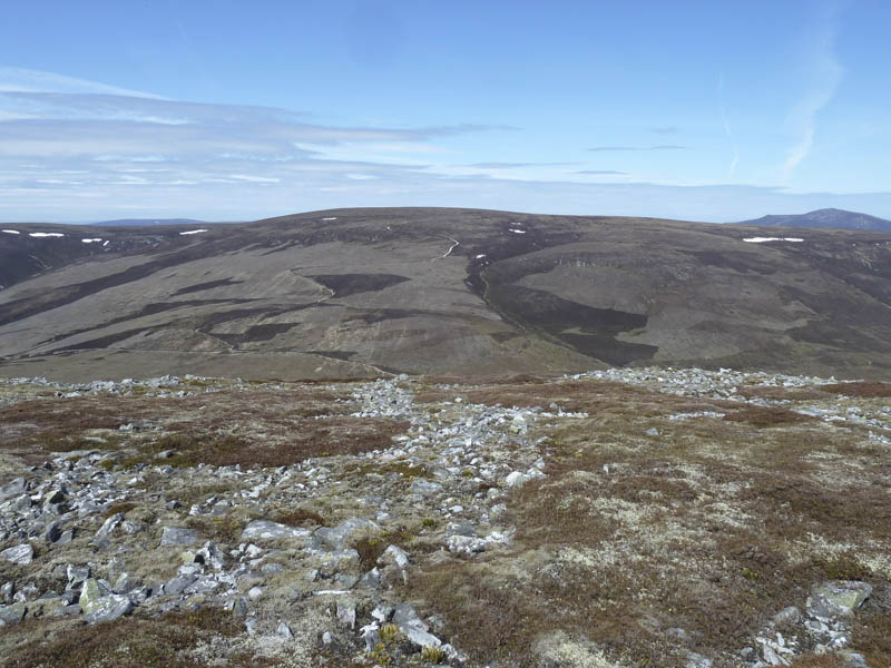
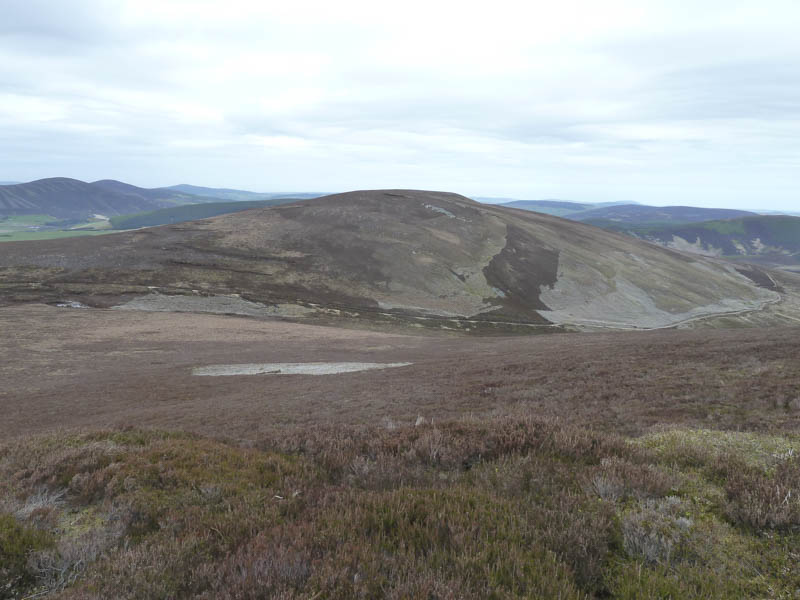
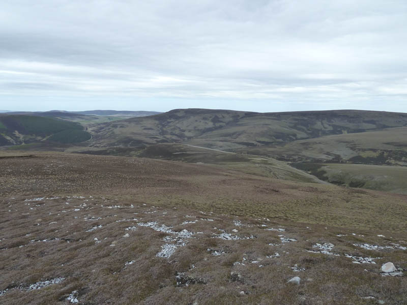
I continued onto Carn Allt a’ Chlaiginn, the summit of this Sub Simm was also unmarked. This was followed by a short drop to the col with Cook’s Cairn which was still over two kilometres away. A gentle incline led towards this hill with several areas of peat hags but the floor of these peat hags was mostly dry and made for easy walking. The summit cairn was reached and I had views of the Ladder Hills and the Braes of Glenlivet.
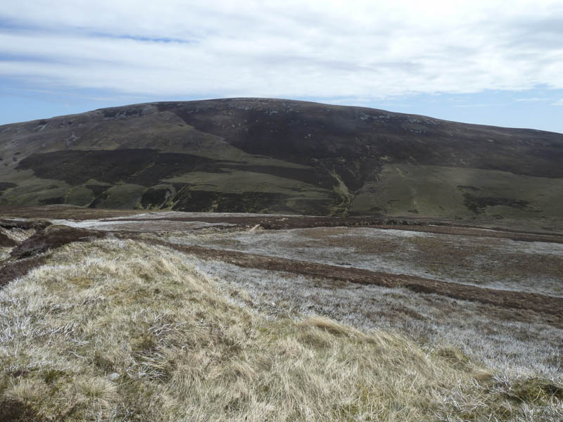
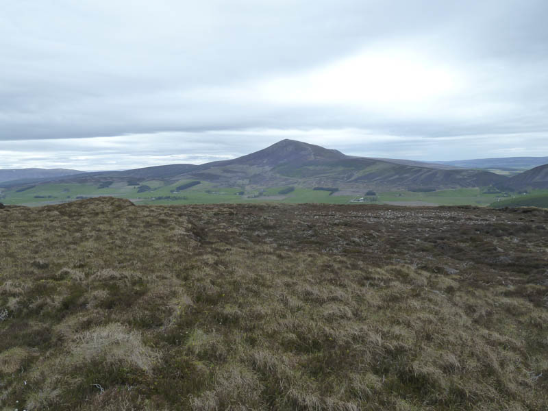
It was then a fairly steep descent through heather, avoiding a few stony areas, to reach the col with Corryhabbie Hill. On this descent I was close to standing on a grouse before it suddenly rose revealing its clutch of eggs.
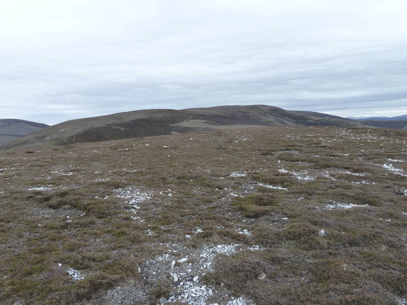
From the col I ascended north-west on a vehicle track, eroded in sections, then higher up left it to walk briefly across short cropped heather to the trig point, surrounded by a cairn, the summit of Corryhabbie Hill.
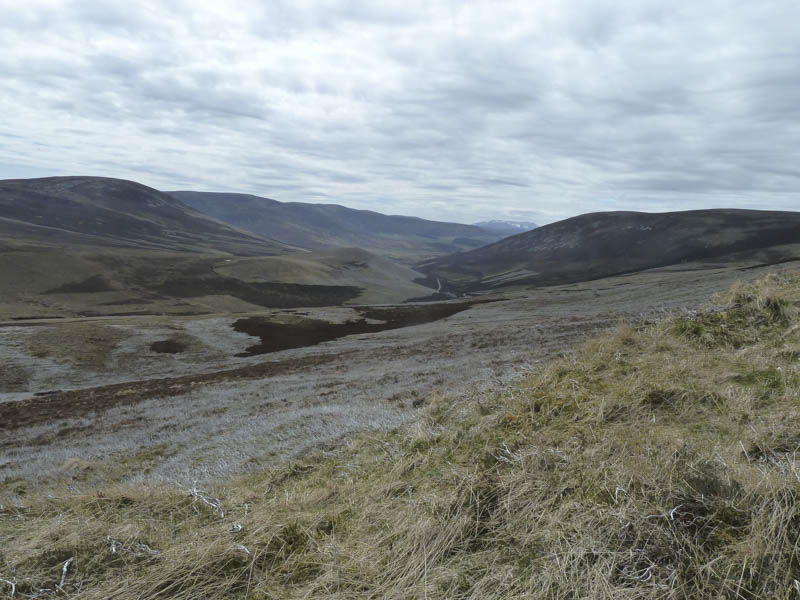
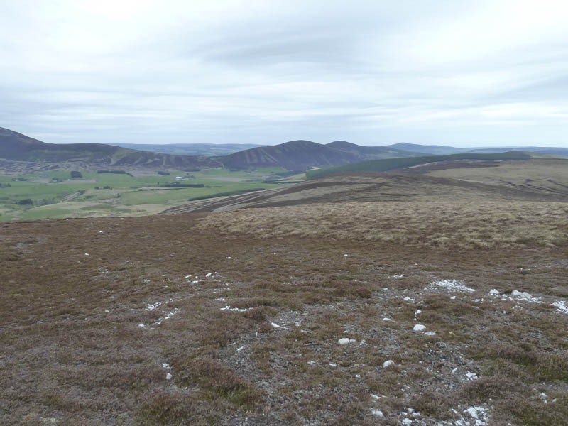
After another break I descended north to rejoin the vehicle track shown on the map as Morton’s Way. It was a gradual and easy descent before lower down it steepened but the track zigzagged to compensate. This led to a track crossing the south side of Hill of Glenroads.
Here I left the track and ascended through heather and a few stones to the summit of the Tump, Hill of Glenroads, marked by three or four stones. I also visited a nearby but lower cairn where there was a plaque to the 8th Duke of Richmond and Gordon and his wife.
The next part of the route was the worst underfoot conditions I experienced that day, tussocky ground with some bog making for slow progress as I headed for Thunderslap Hill. The summit of this Sub Dodd was marked by a tussock.
The descent was then through long straggly heather to reach the vehicle track beside the Dubh Allt which was followed into Glen Fiddich. Here I collected my bike taking around ten minutes to cycle back to my car. The stock gate was padlocked but there was a pedestrian gate to the south which I used instead of throwing my bike over the locked gate.
- Time taken – 7 hours.
- Distance – 27 kilometres.
- Height climbed – 1065 metres.